Storm Chase Details
Miles Logged: 835
States Chased: MO, AR
Tornadoes Witnessed: 2
Milestones: First Missouri Tornado
Severe Risks: SPC Outlooks
Severe Reports: Storm Reports
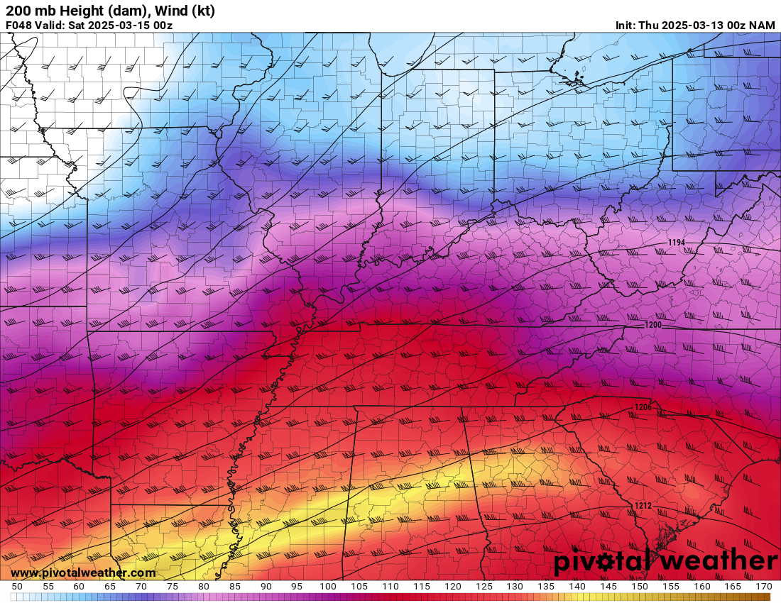
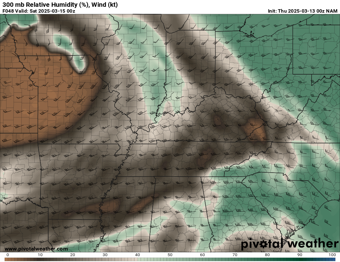
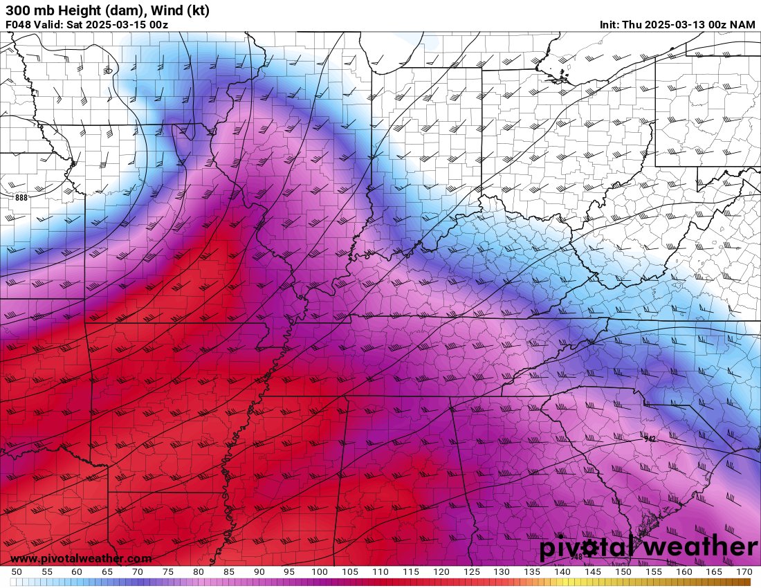
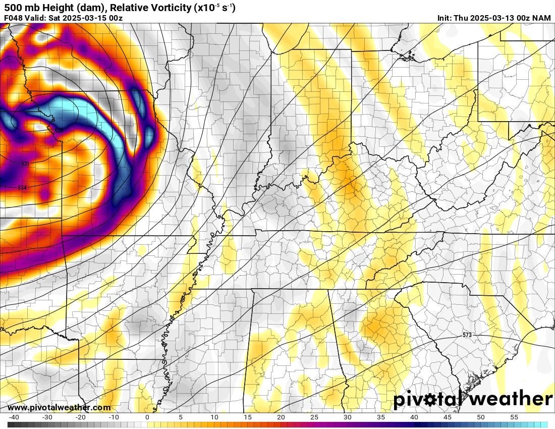
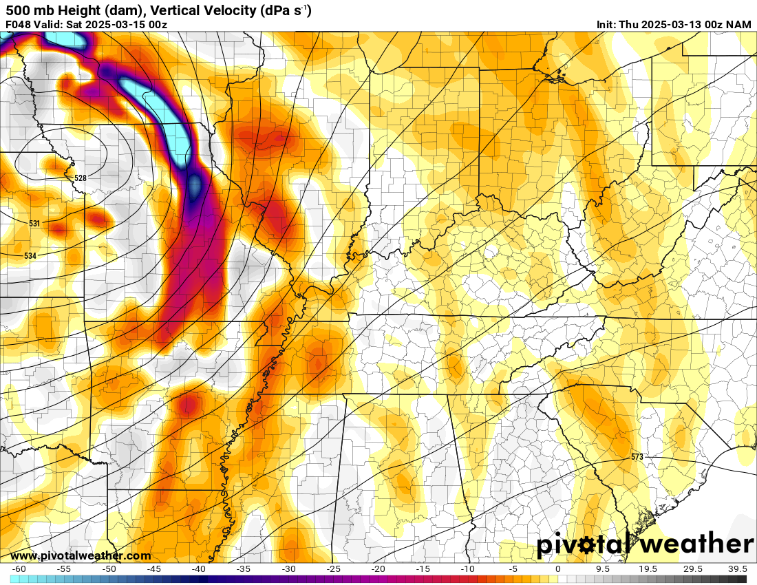
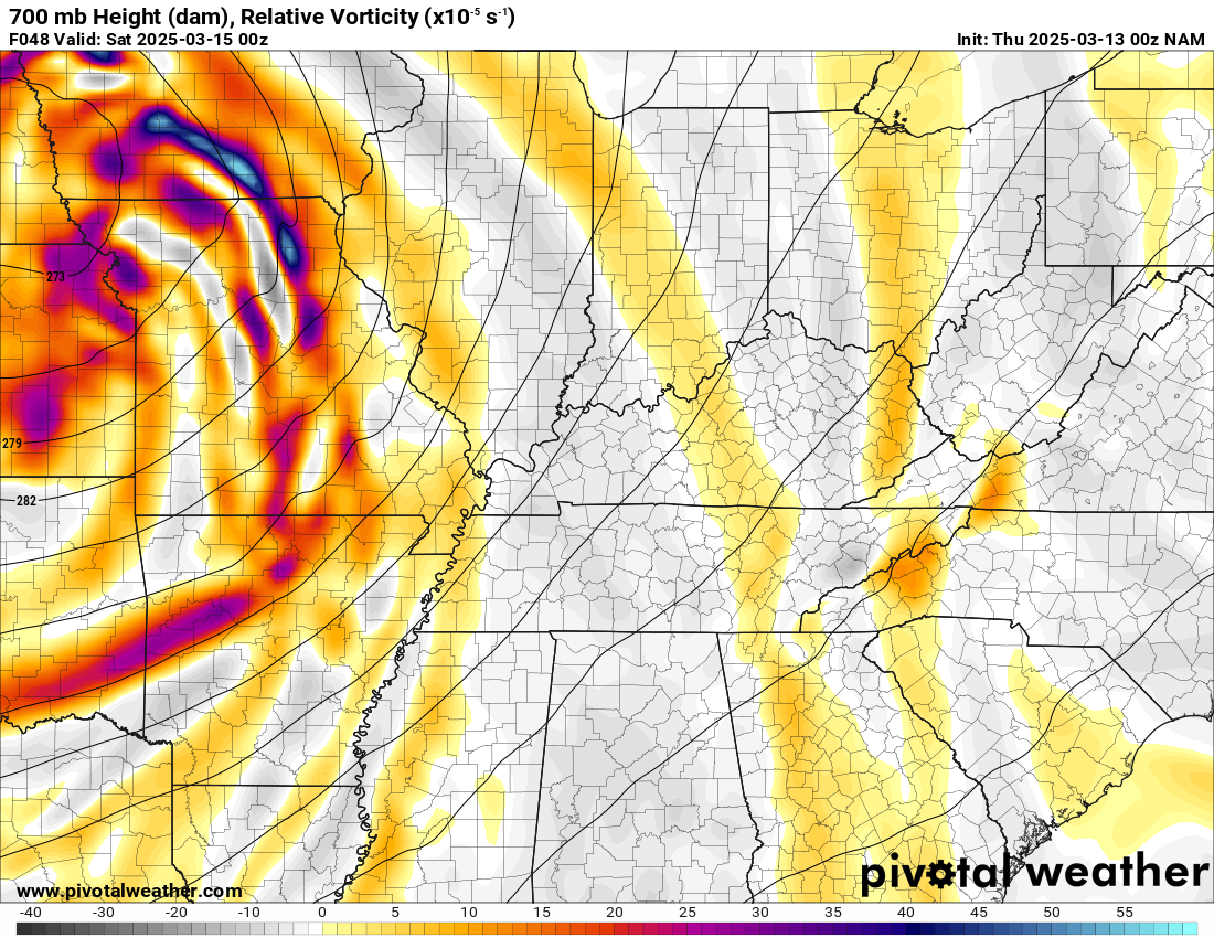
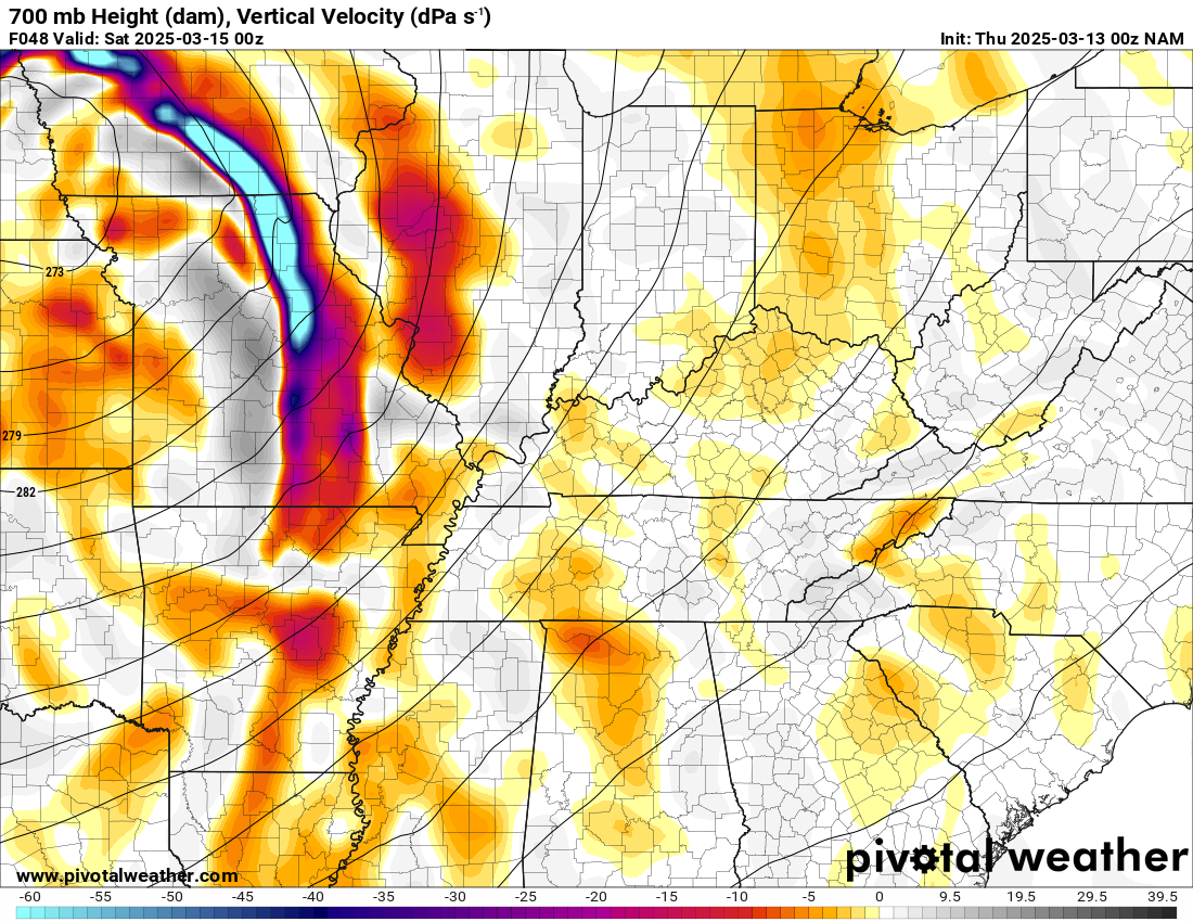
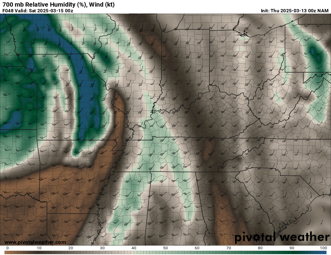
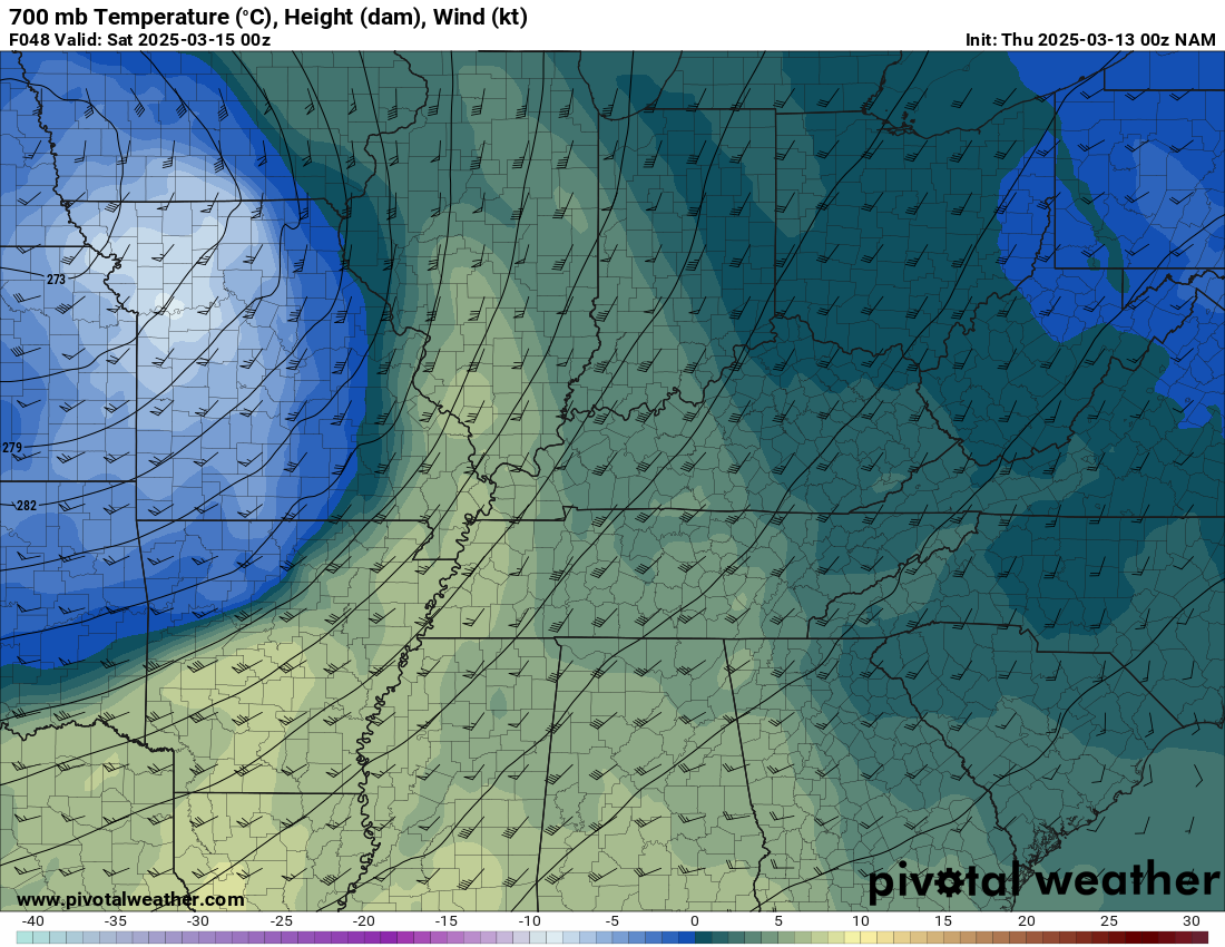
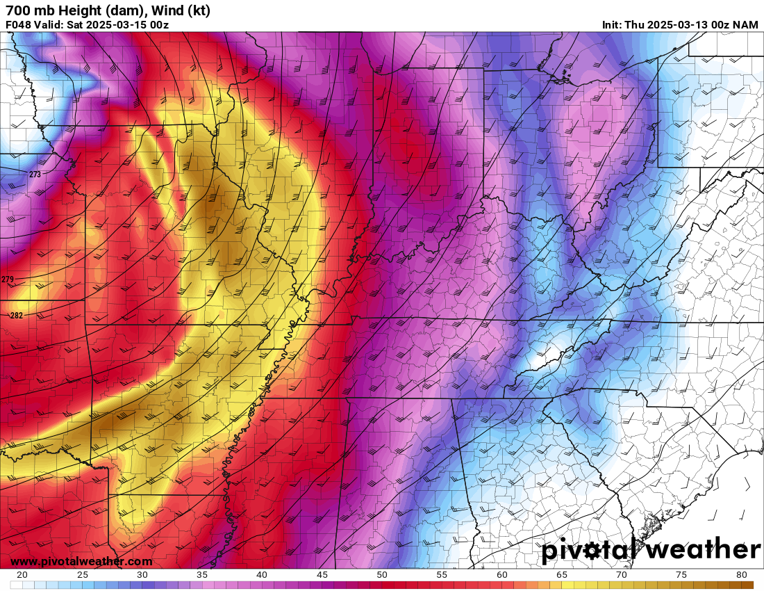
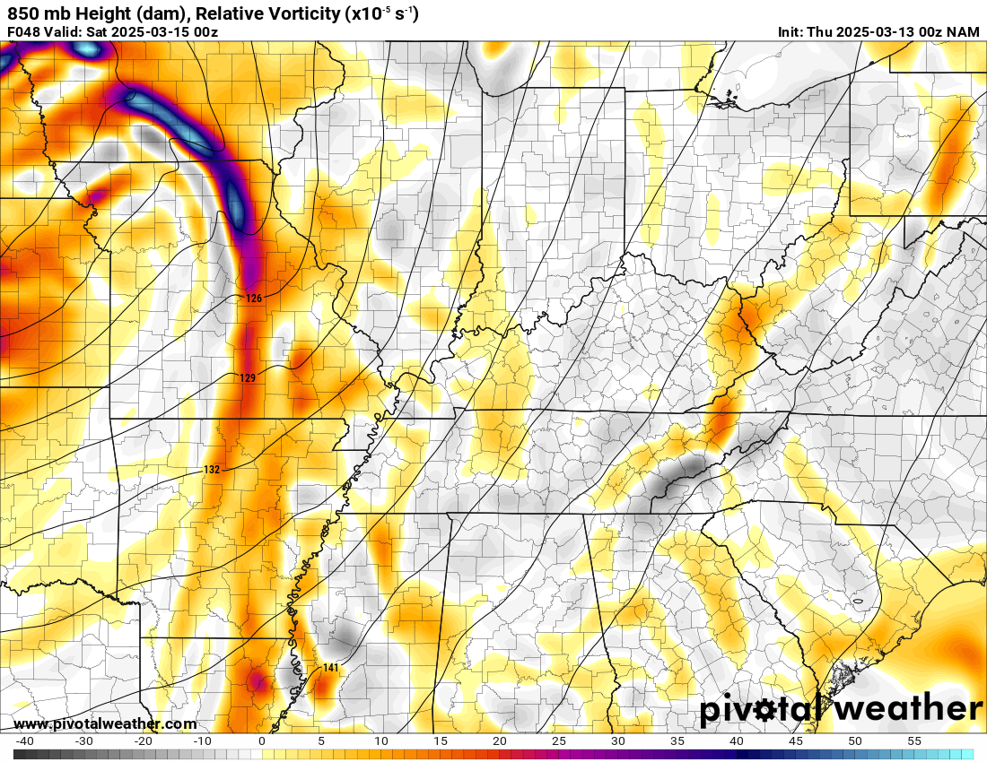
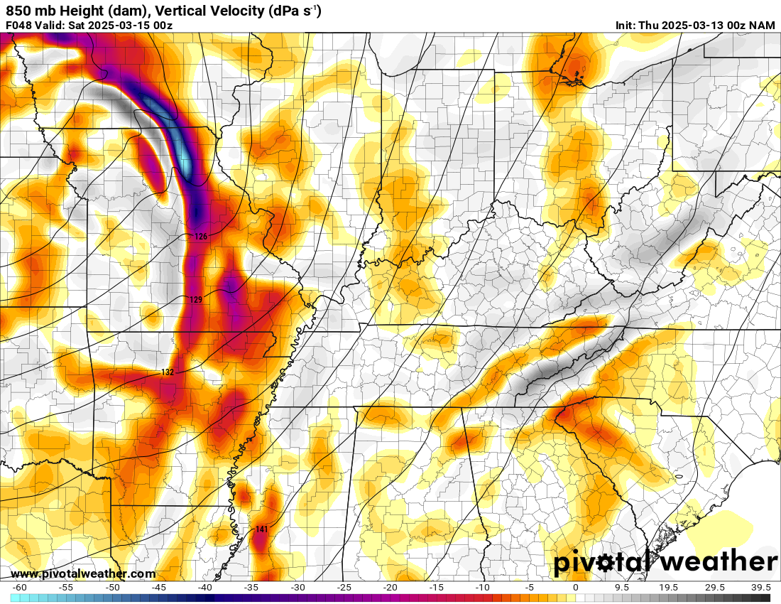
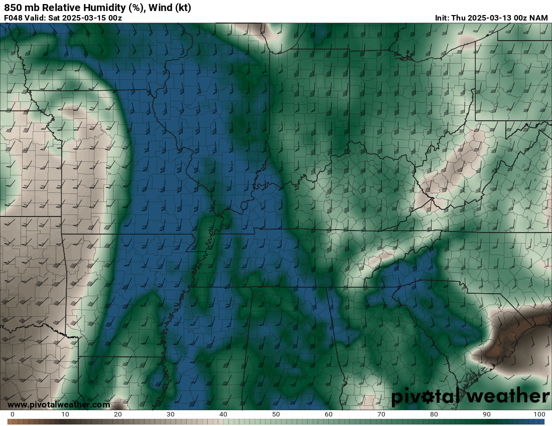
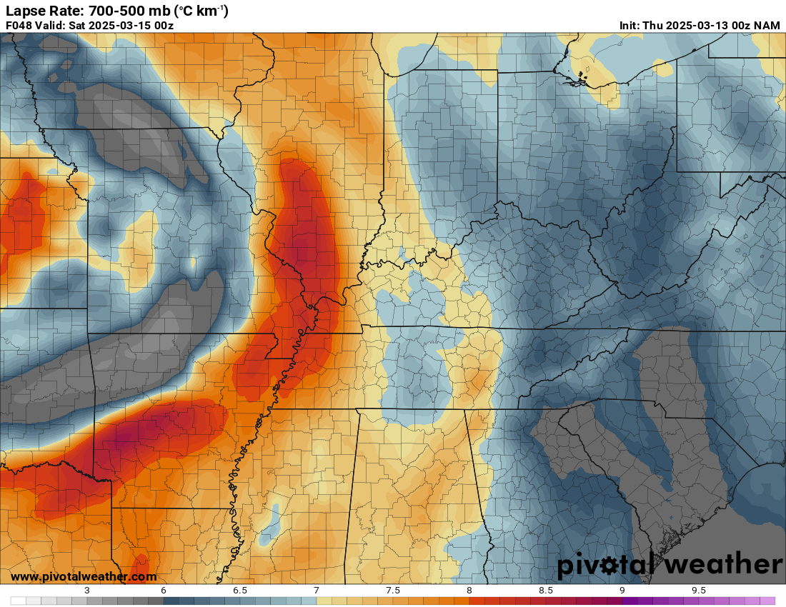
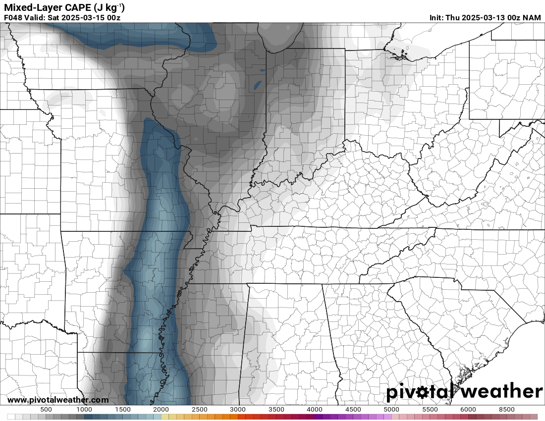
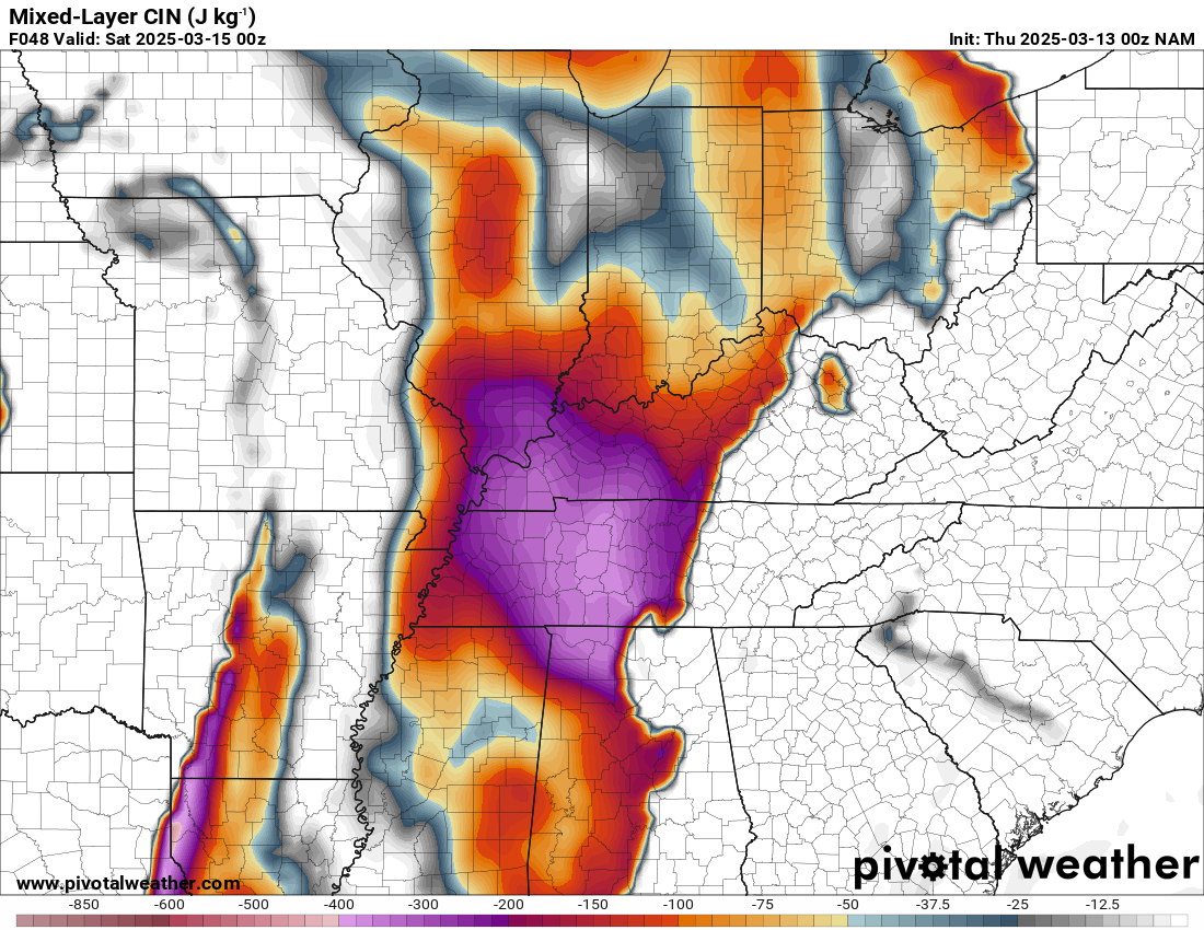
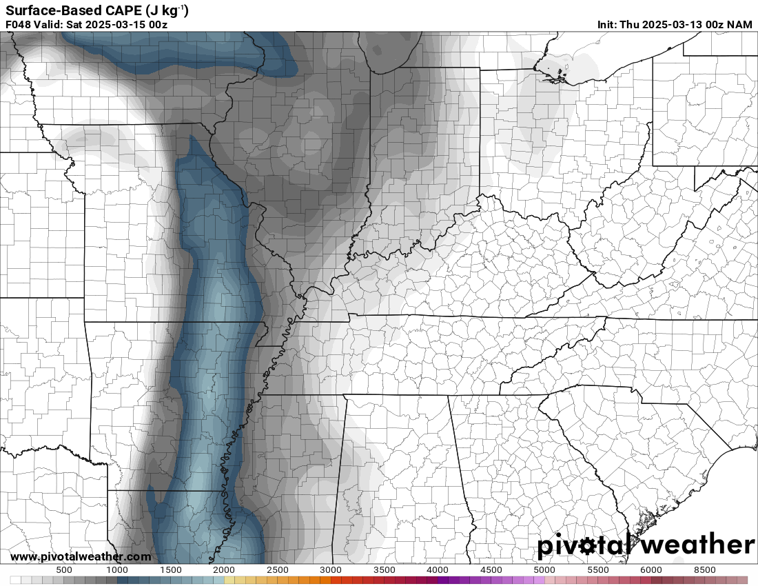
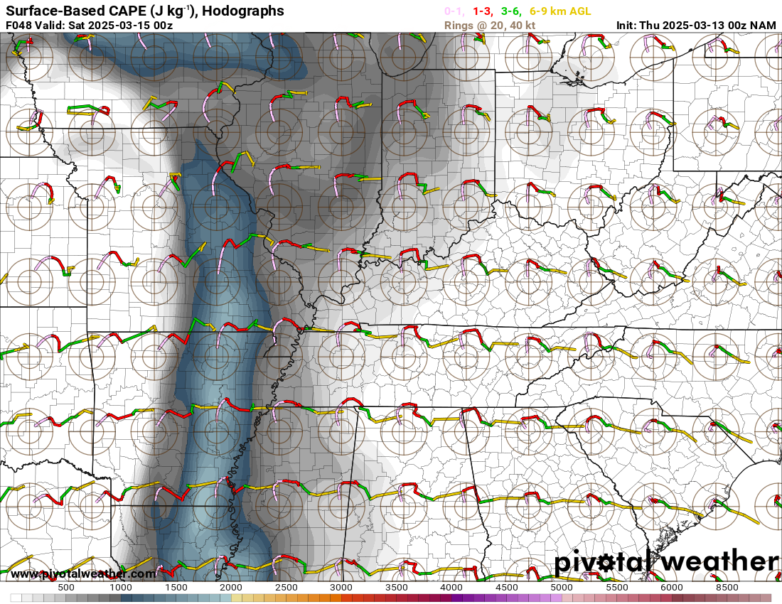
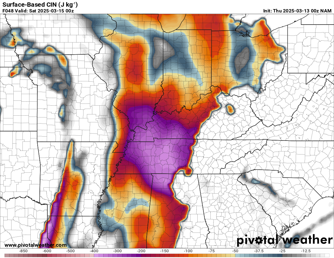
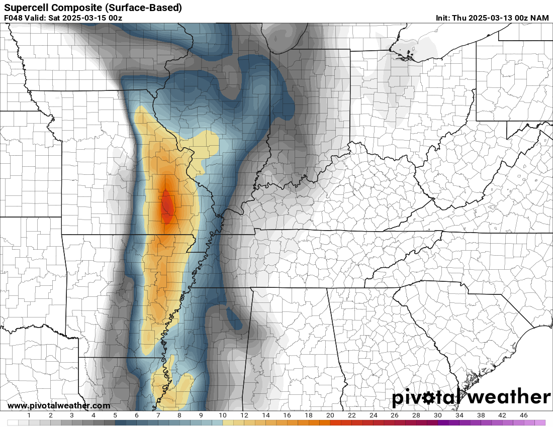
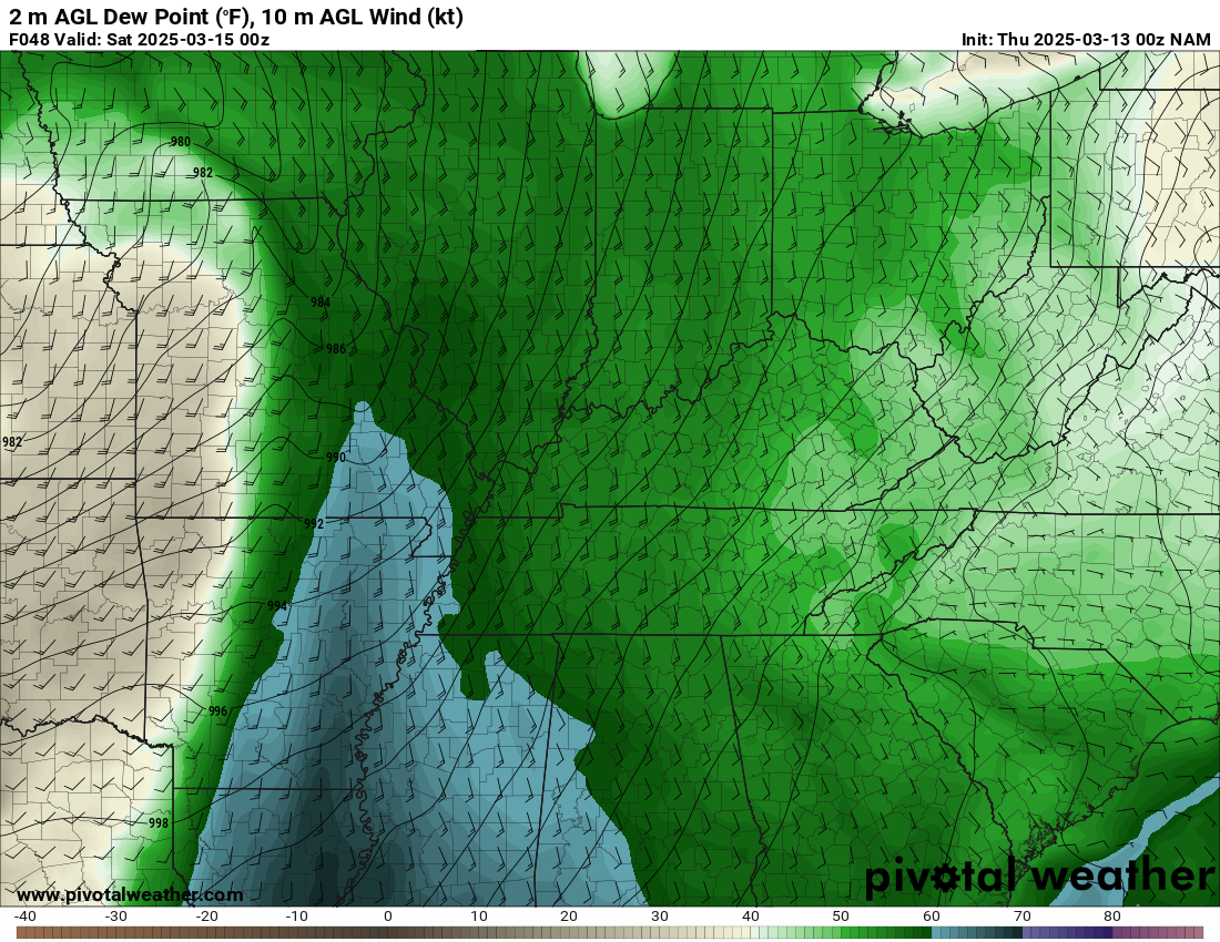
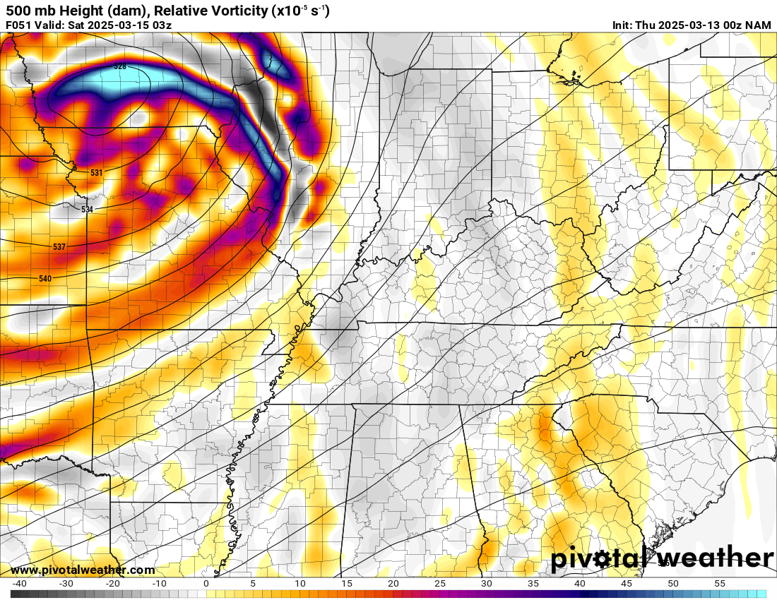
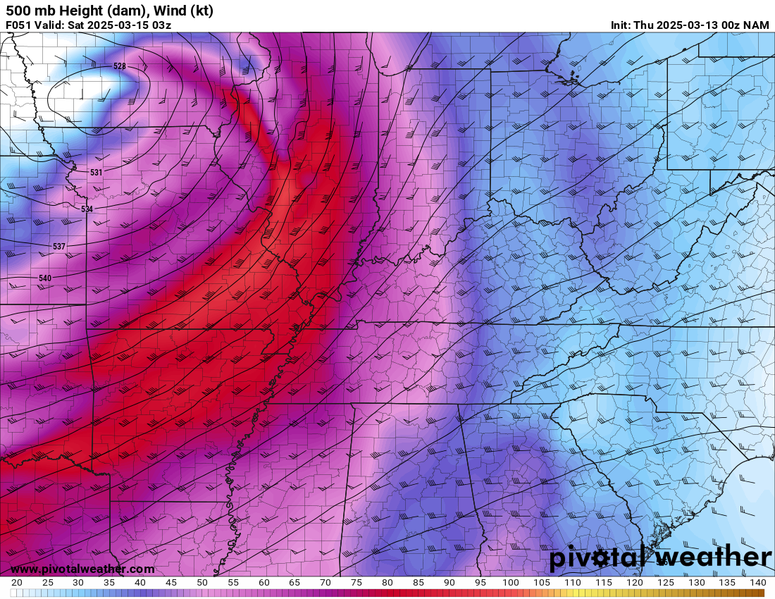
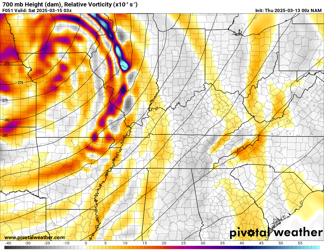
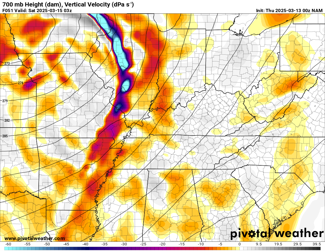
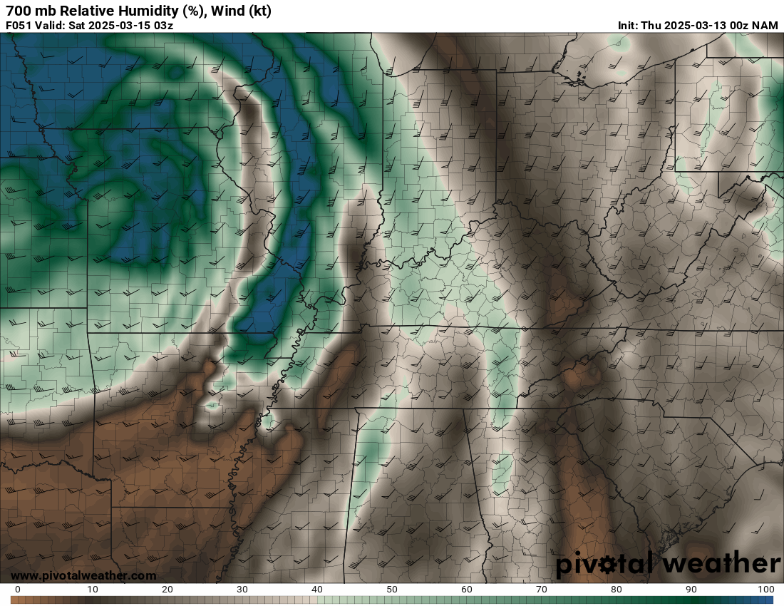
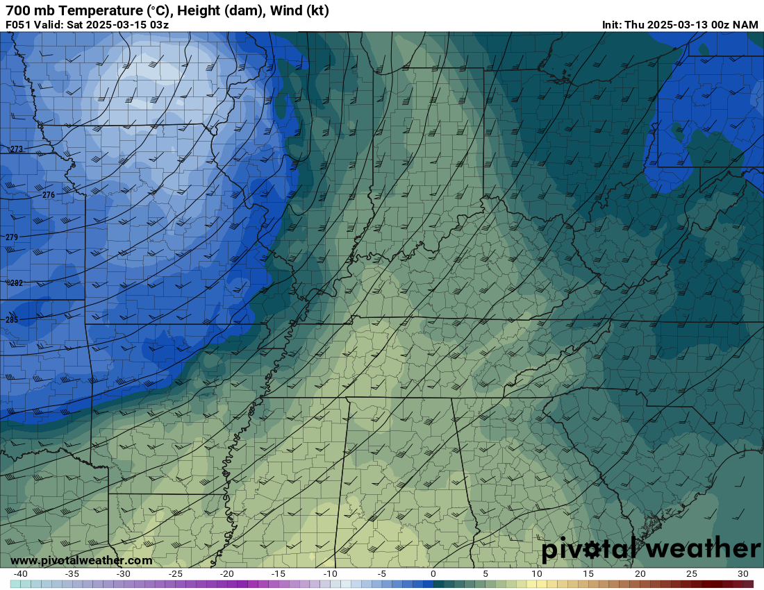
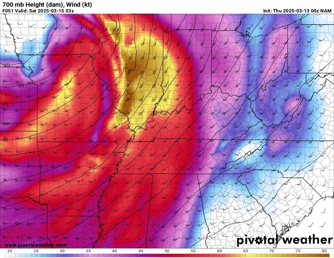
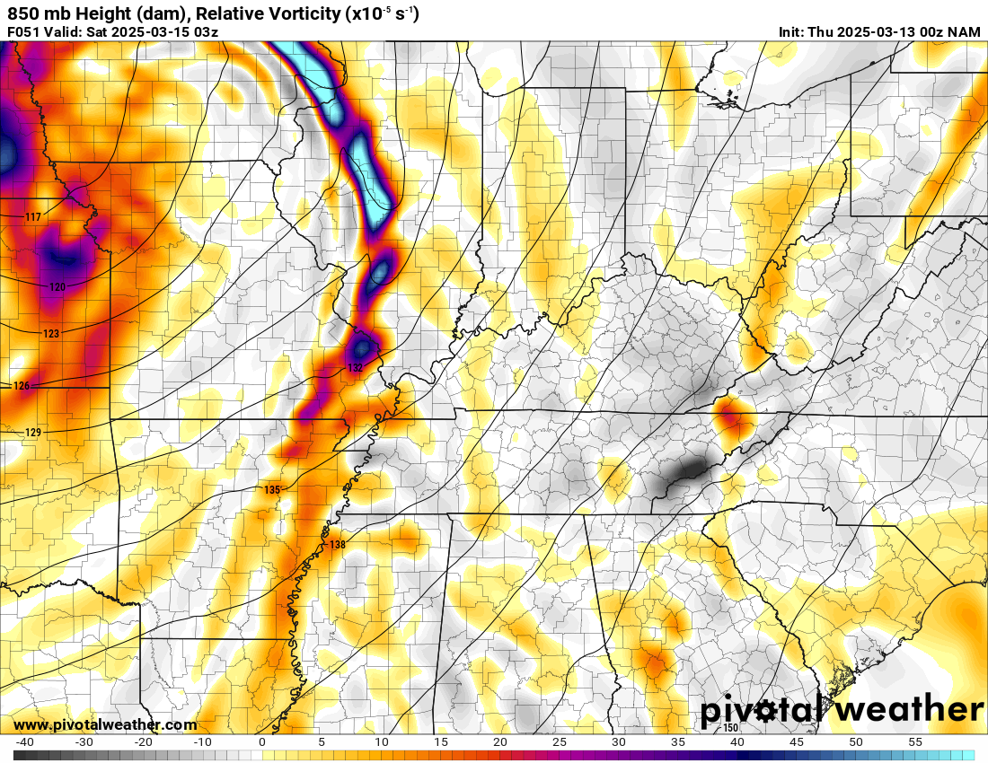
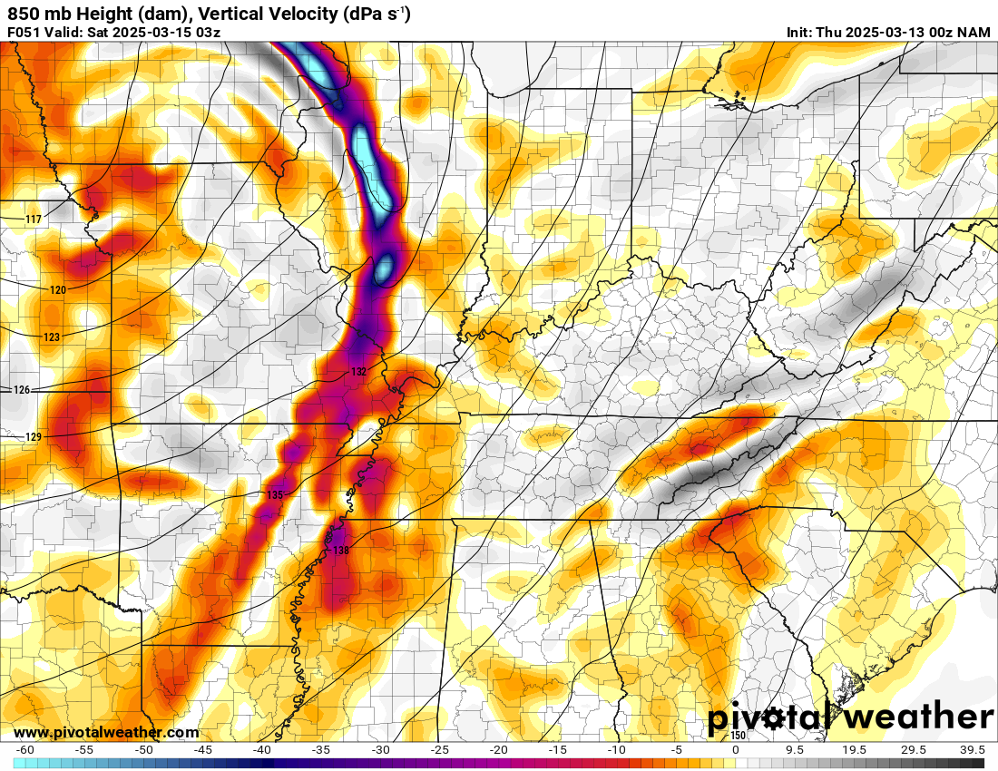
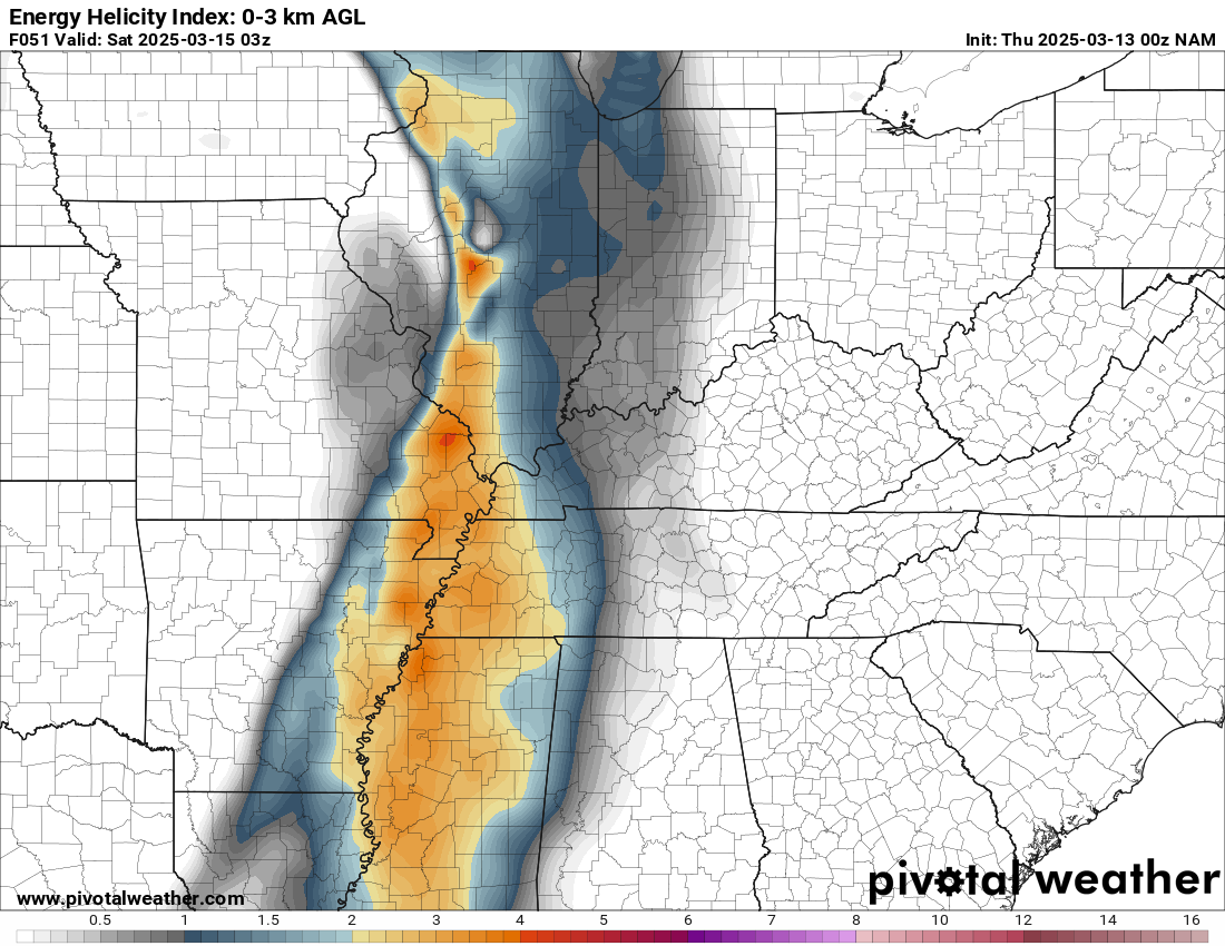
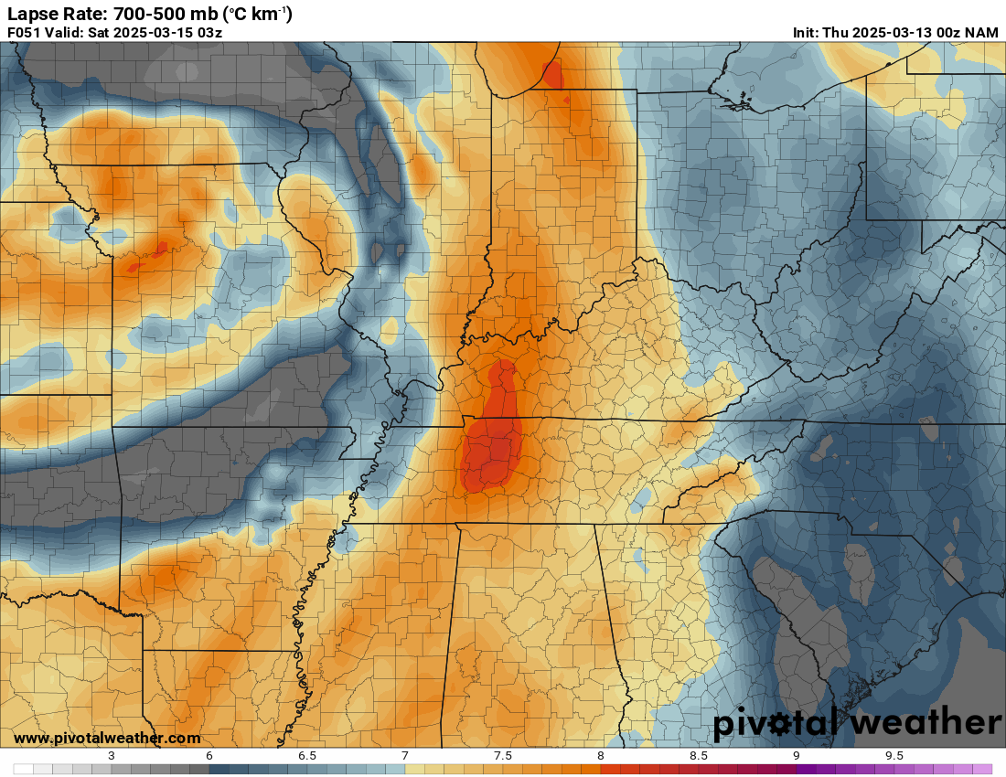
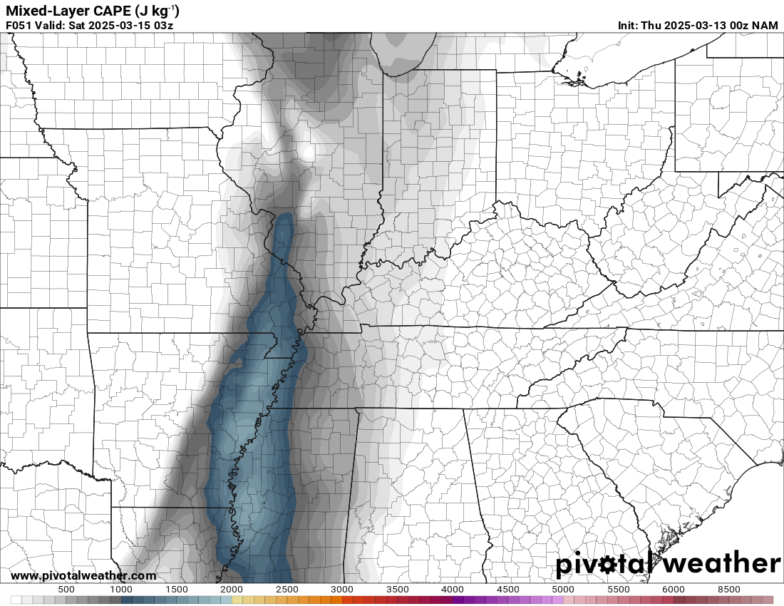
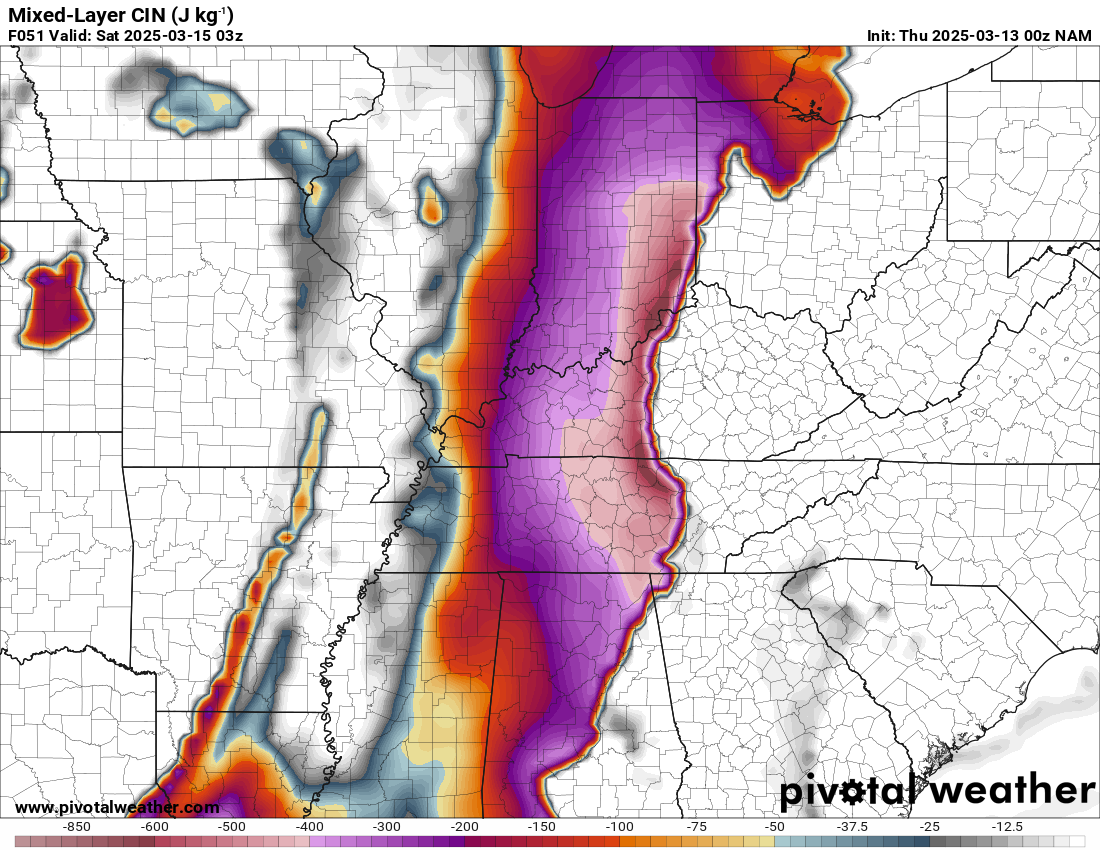
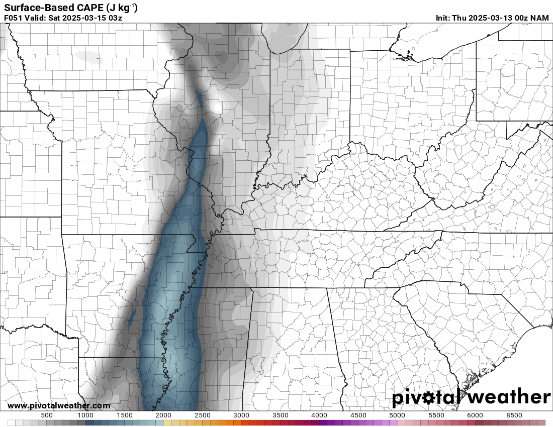
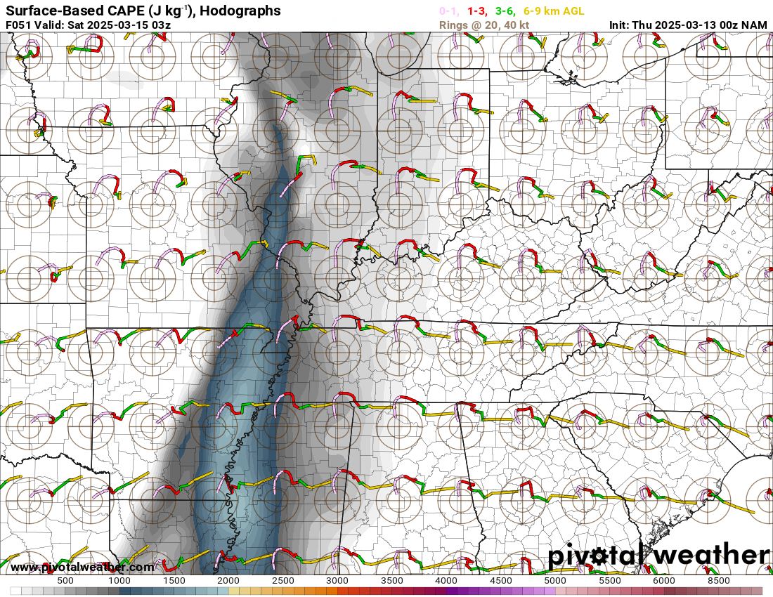
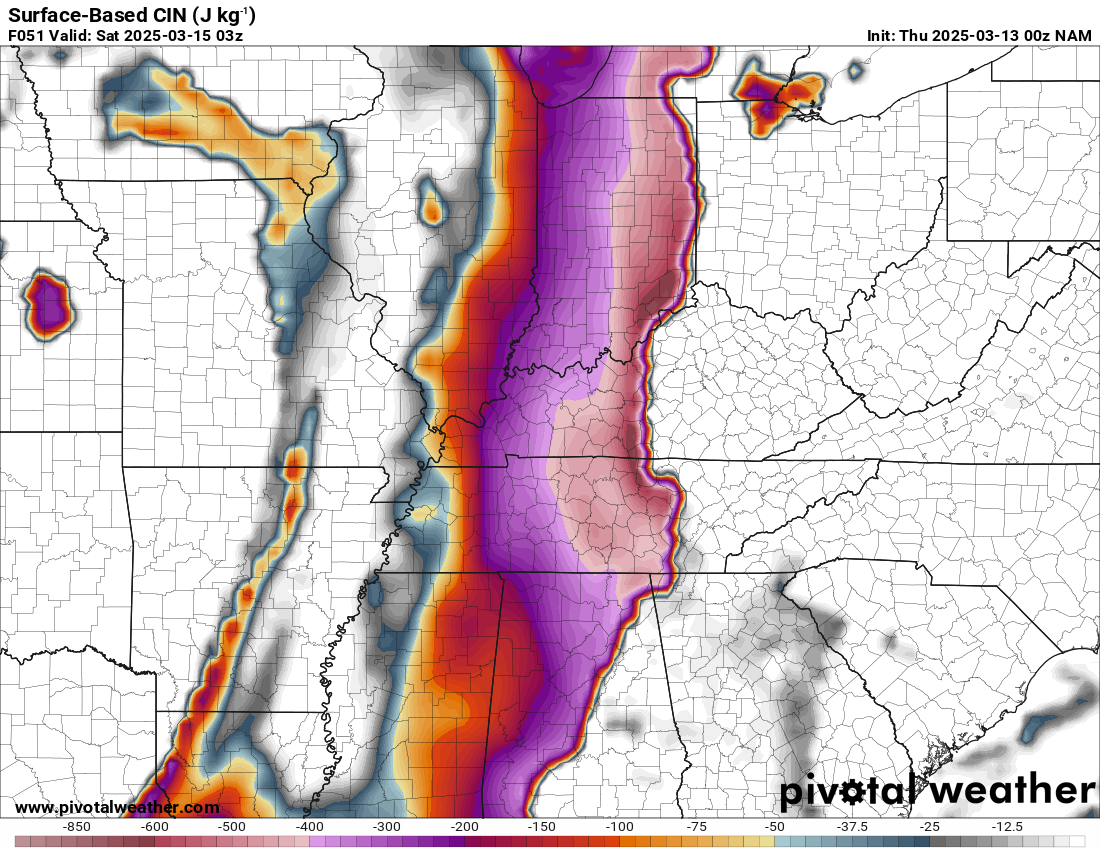
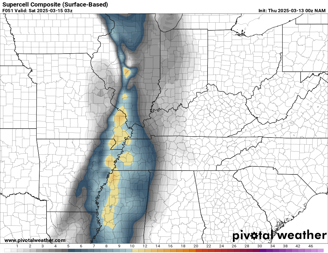
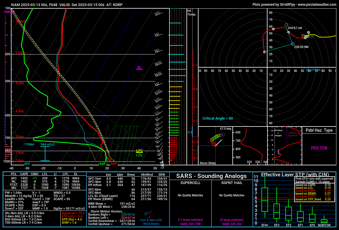
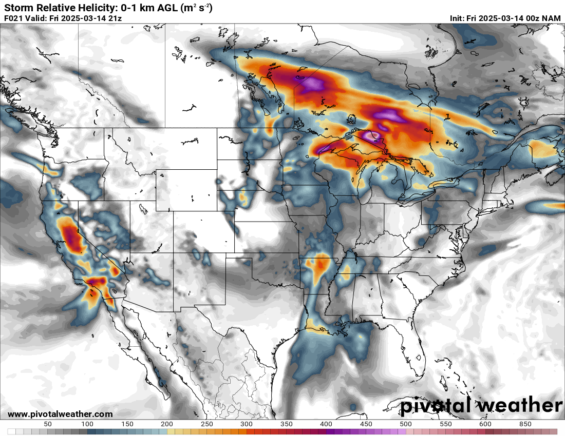
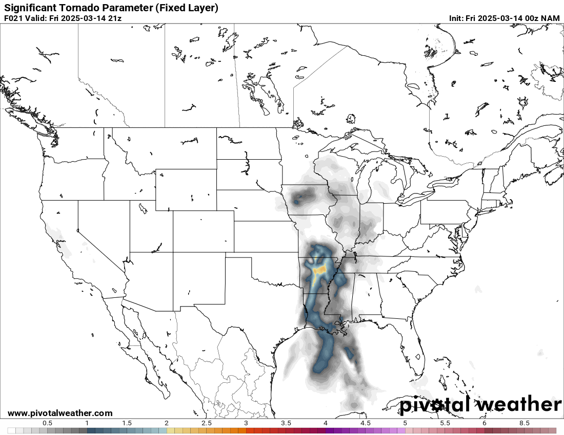
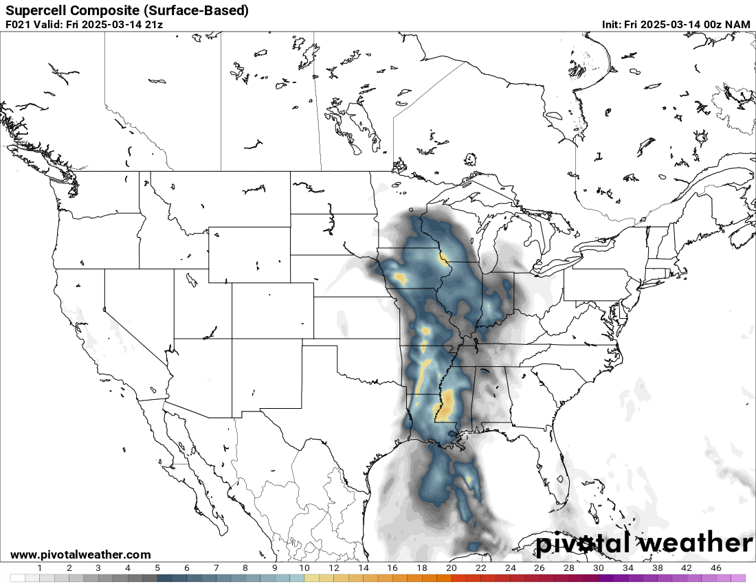
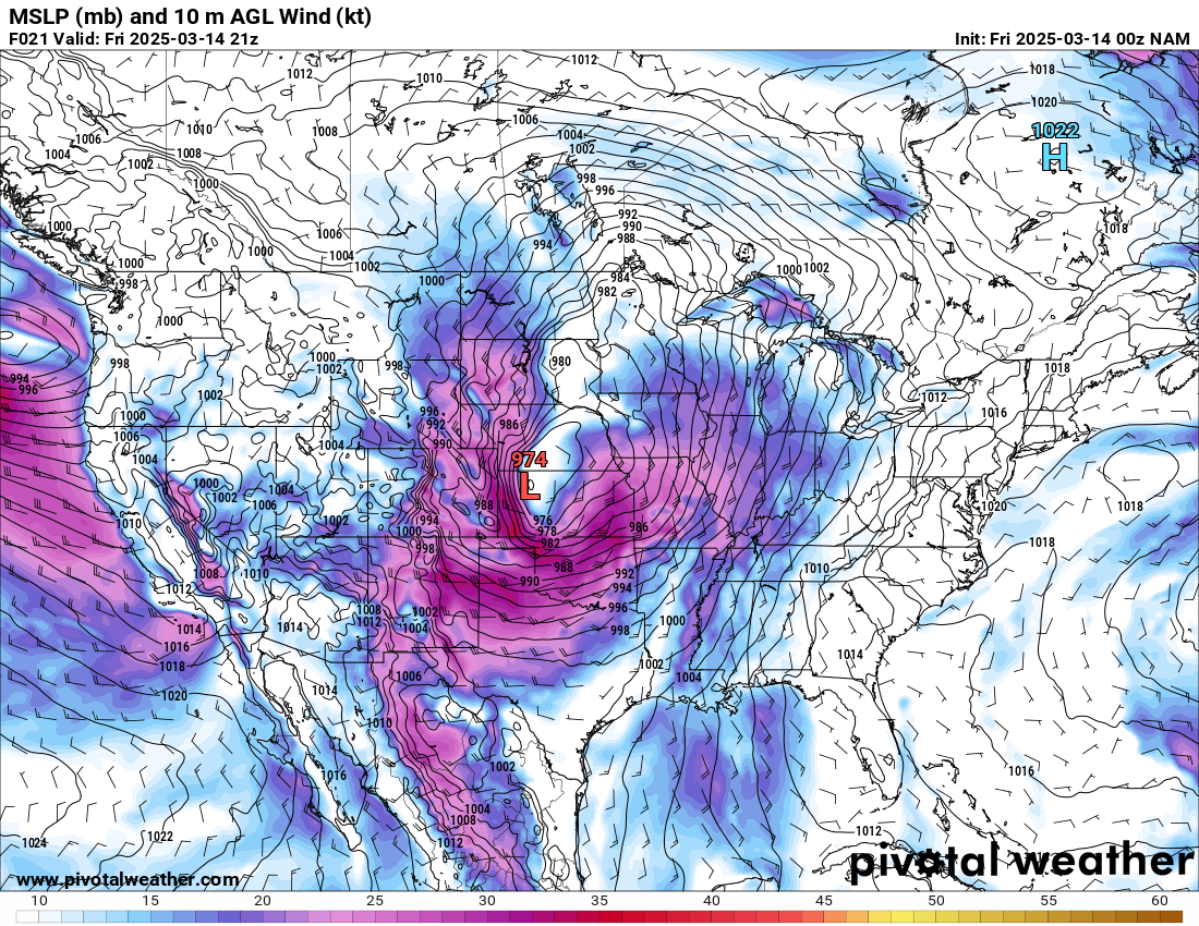
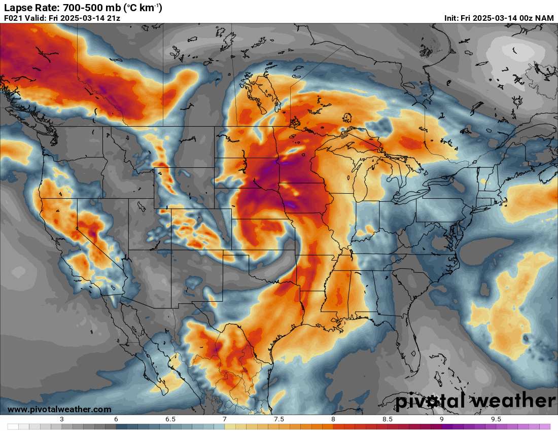
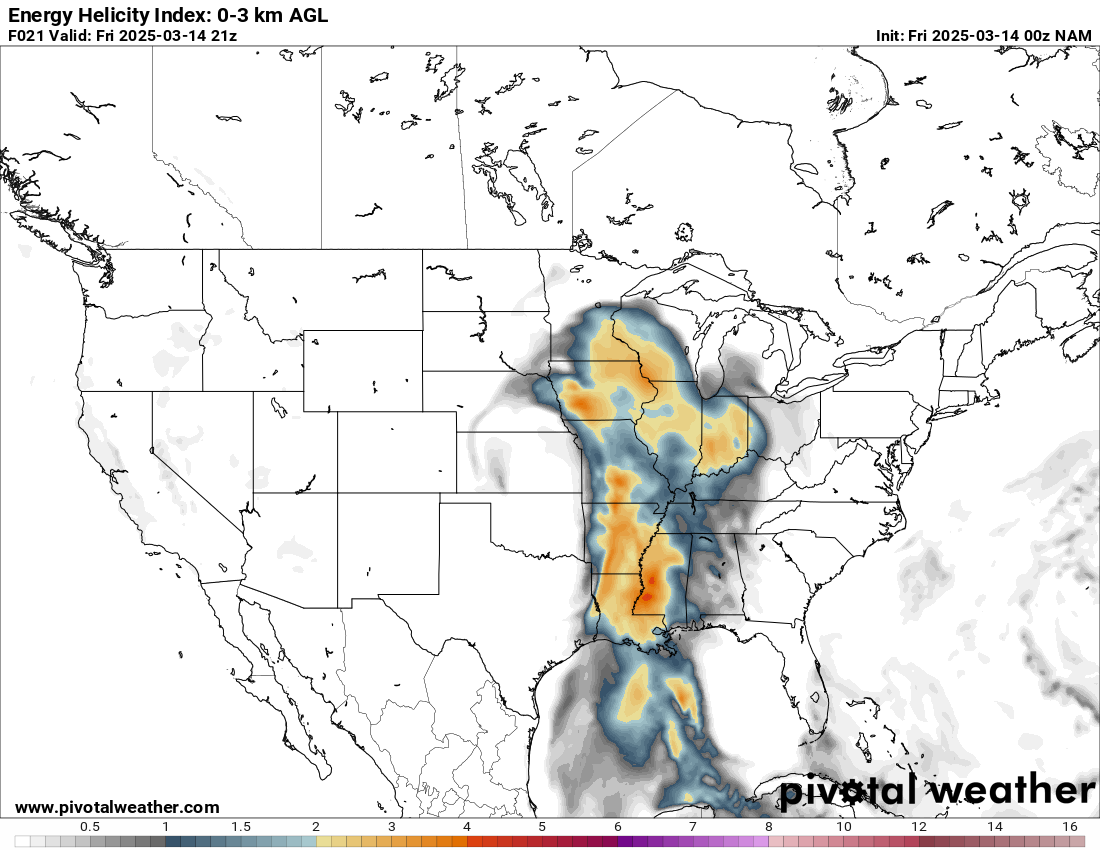
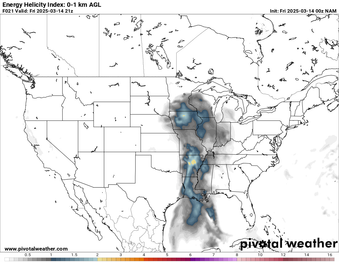
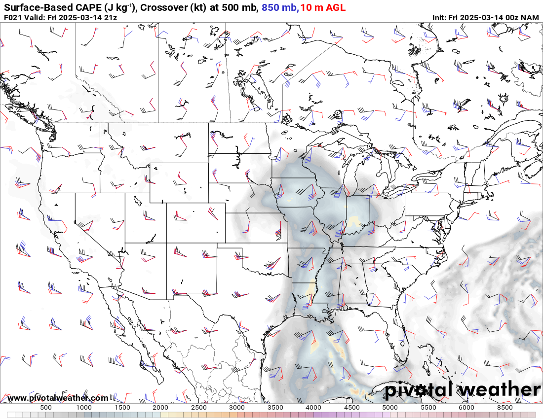
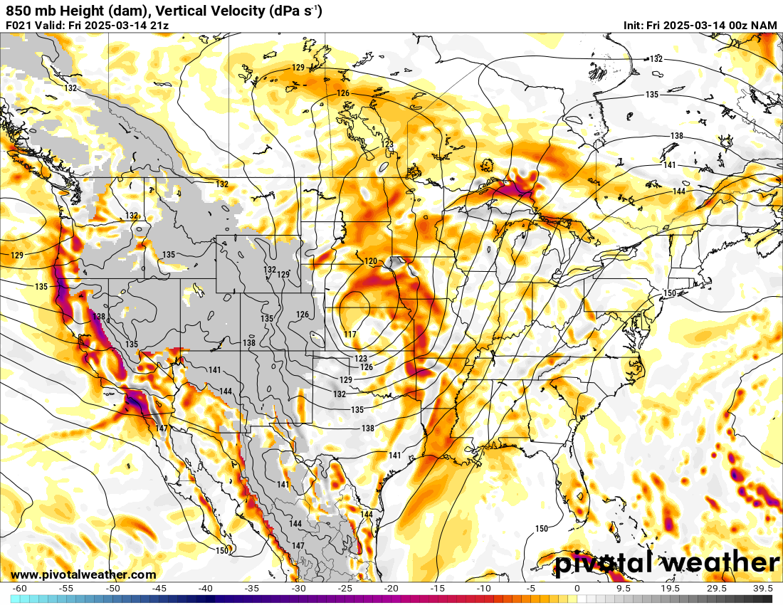
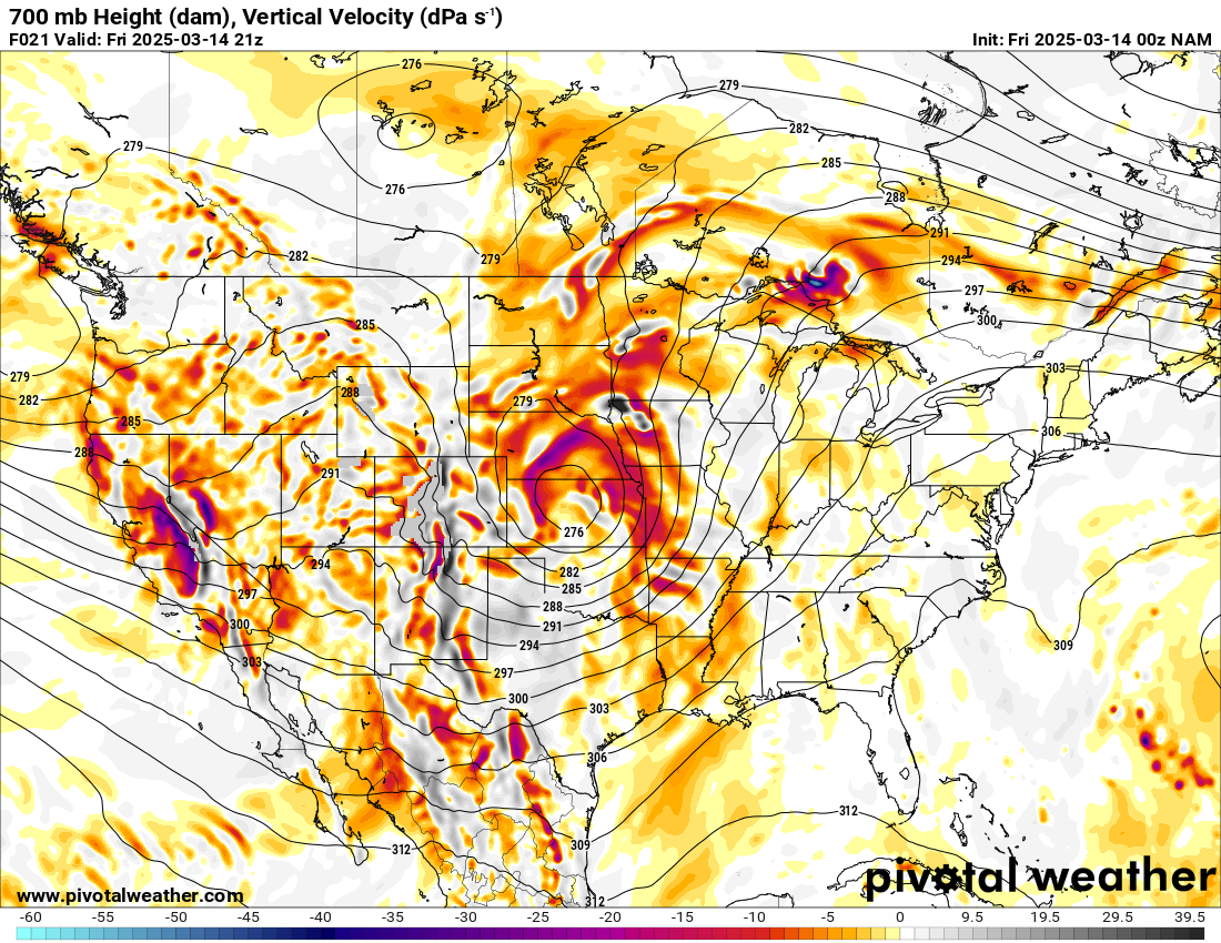
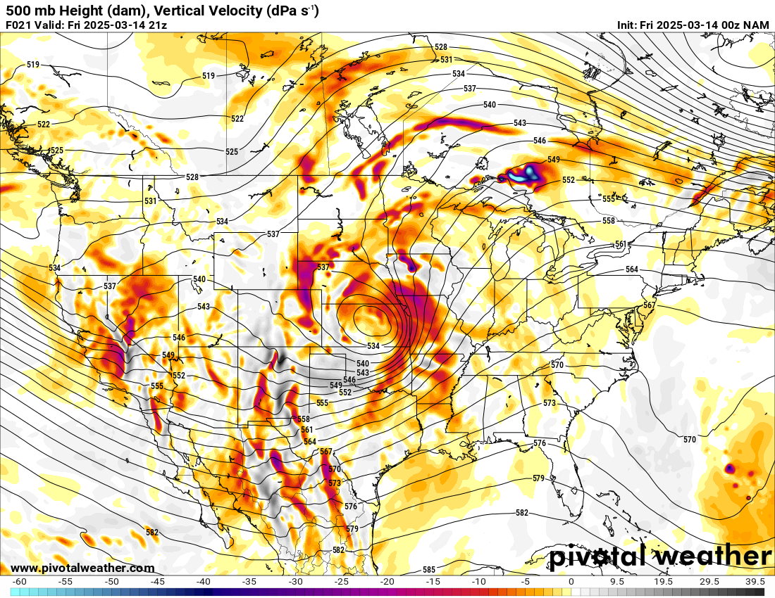
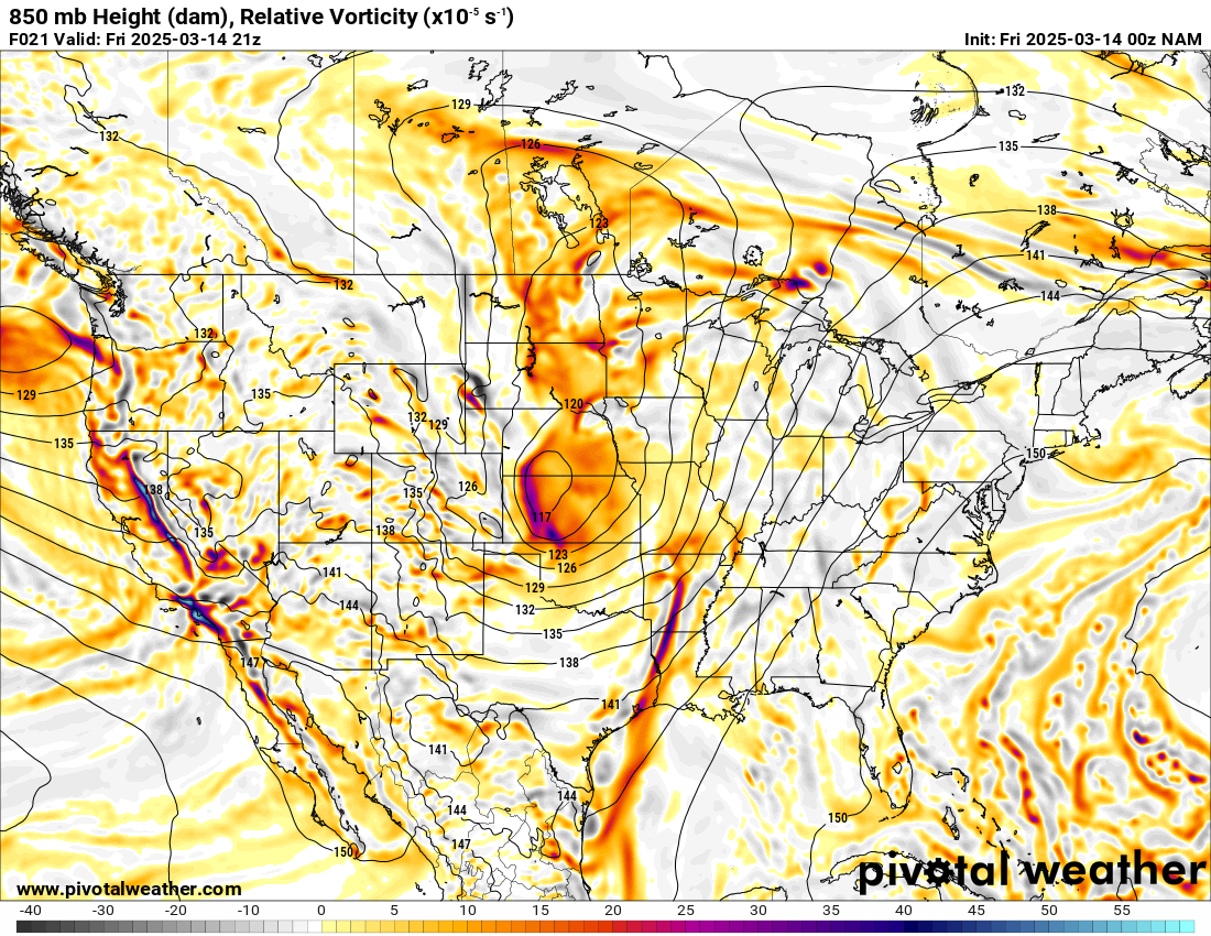
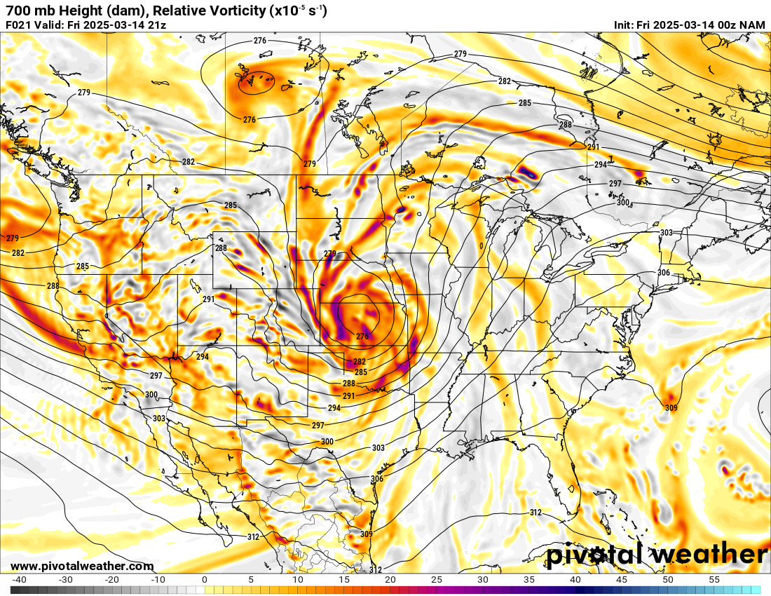
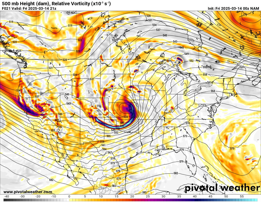
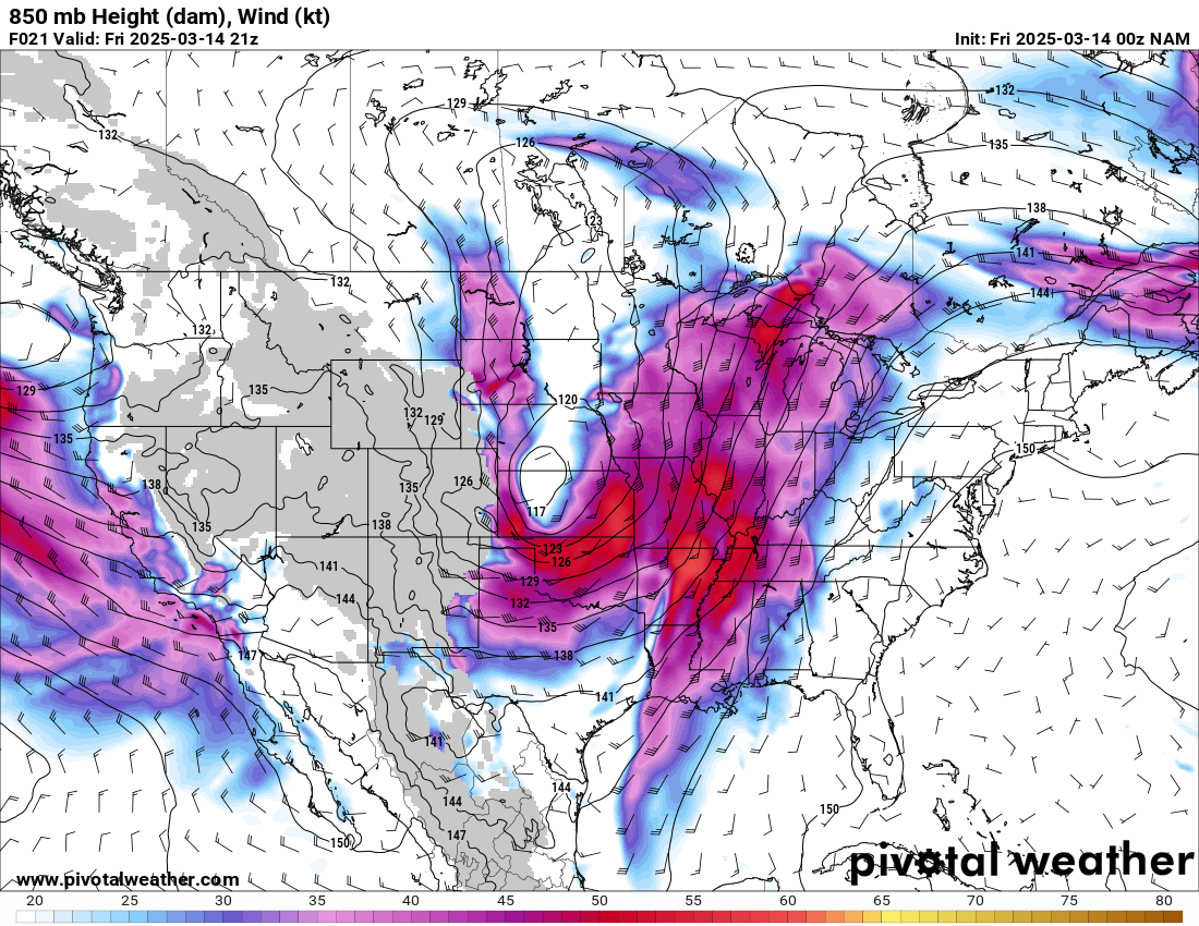
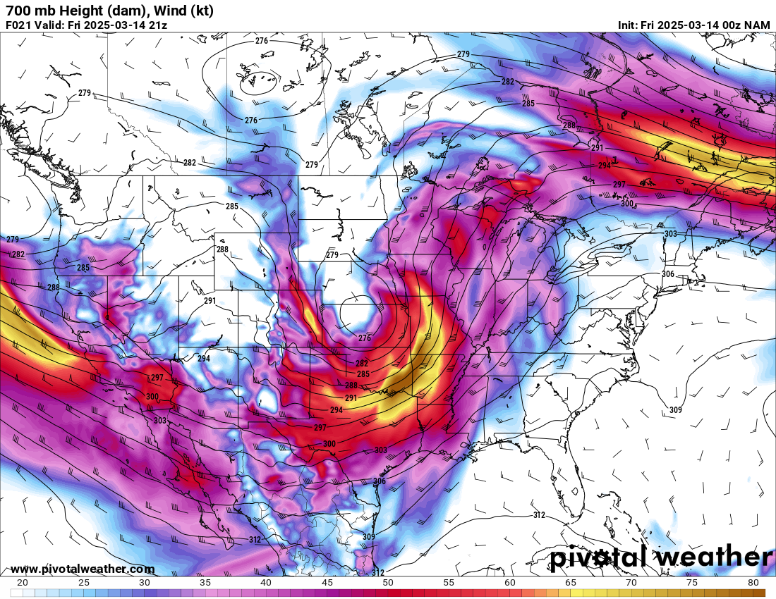
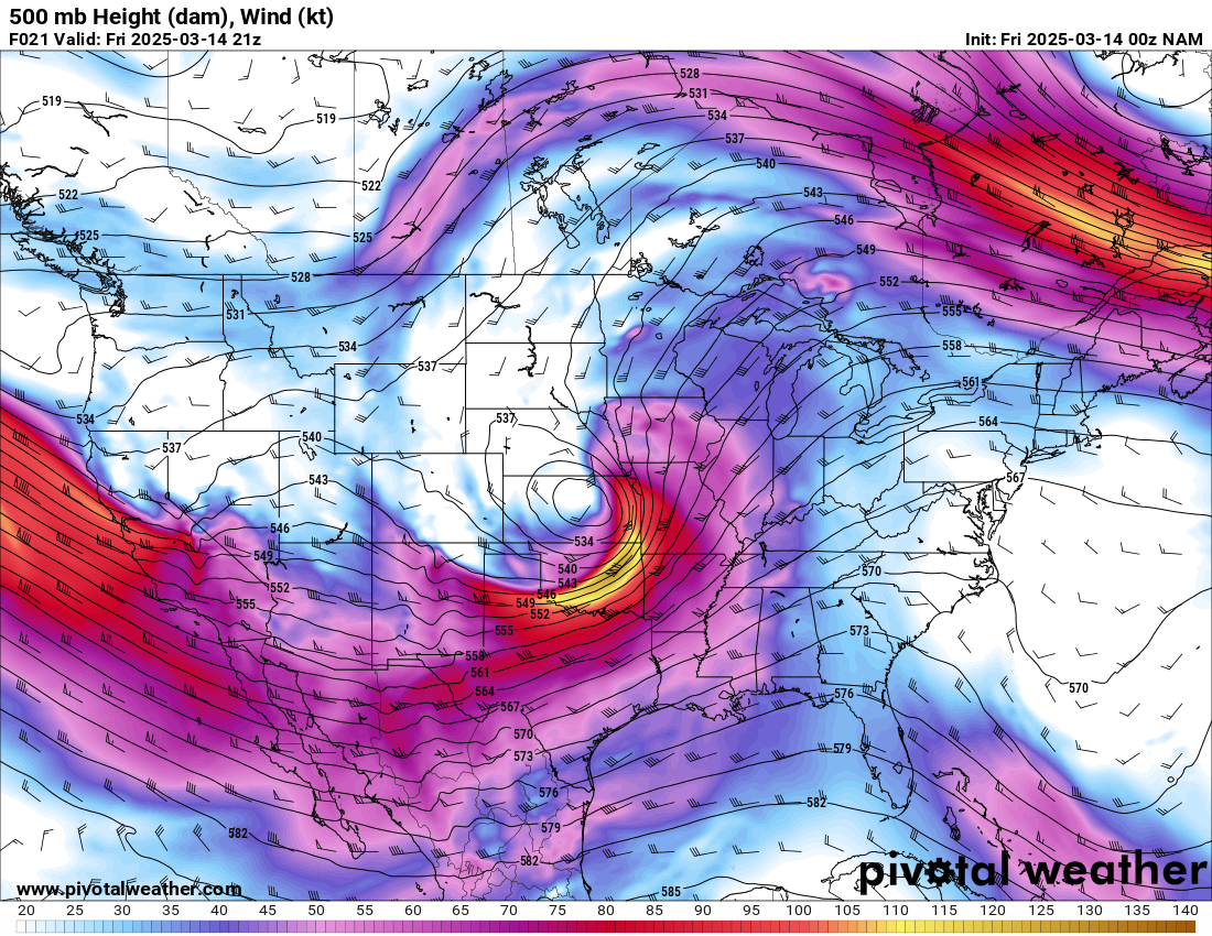
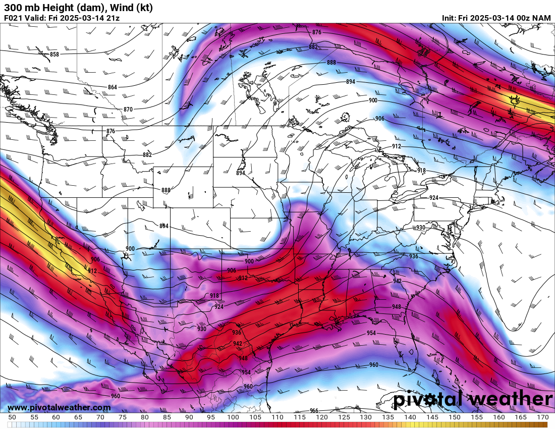
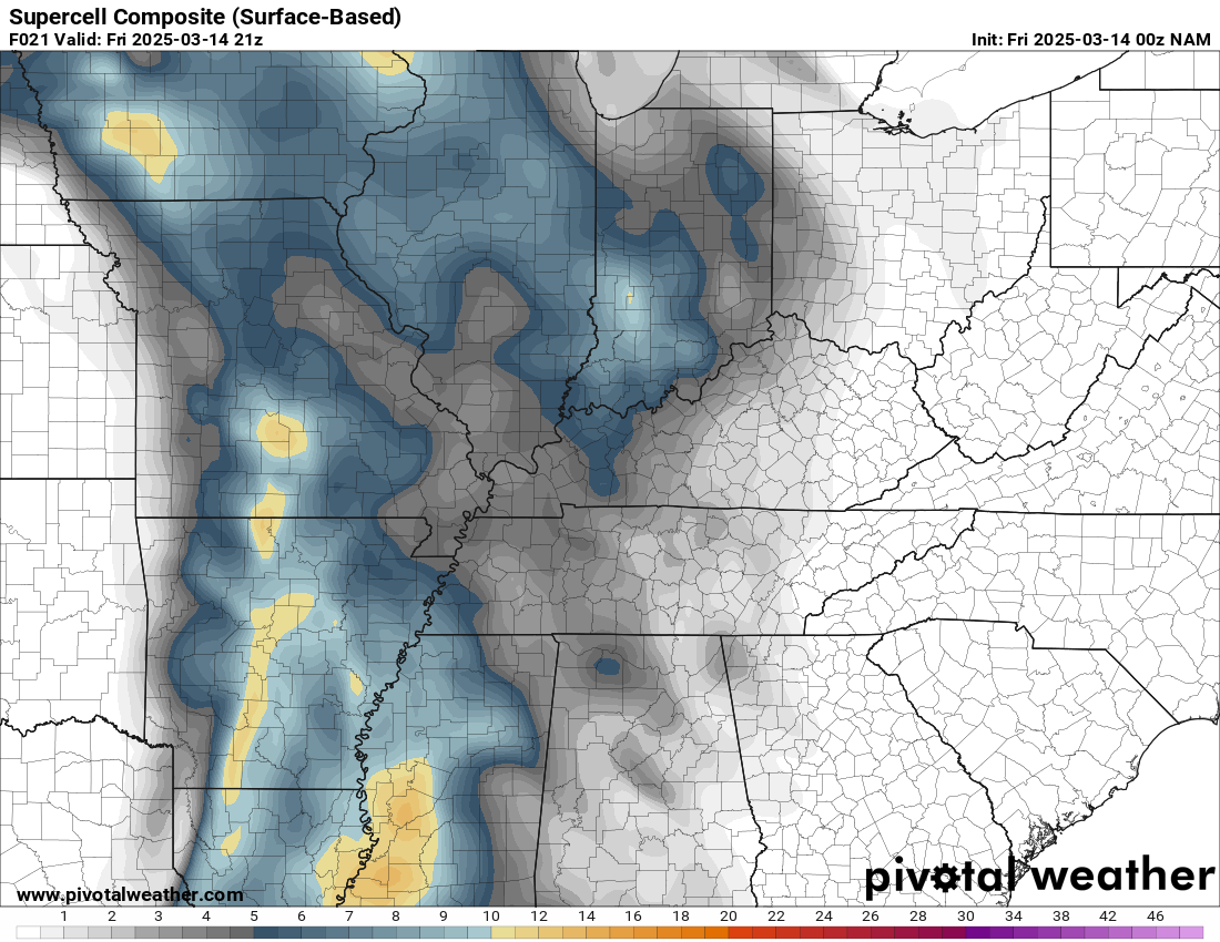
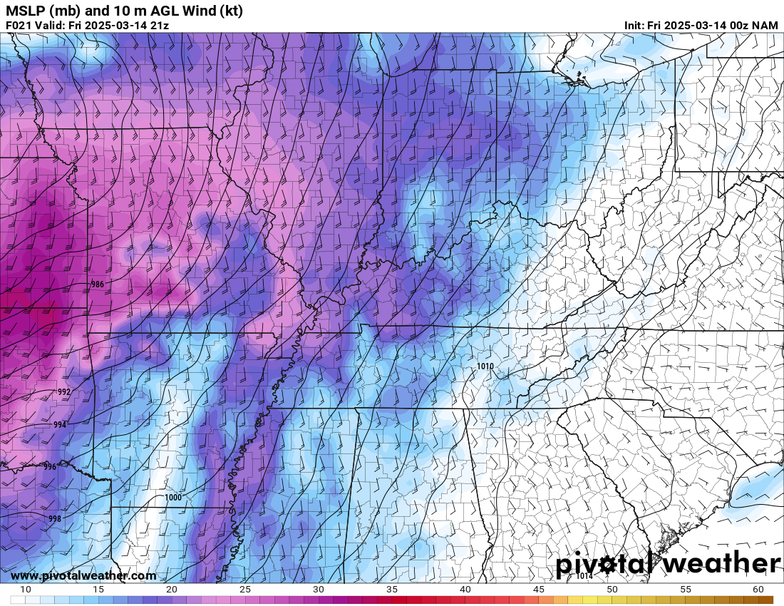
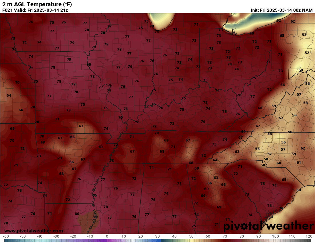
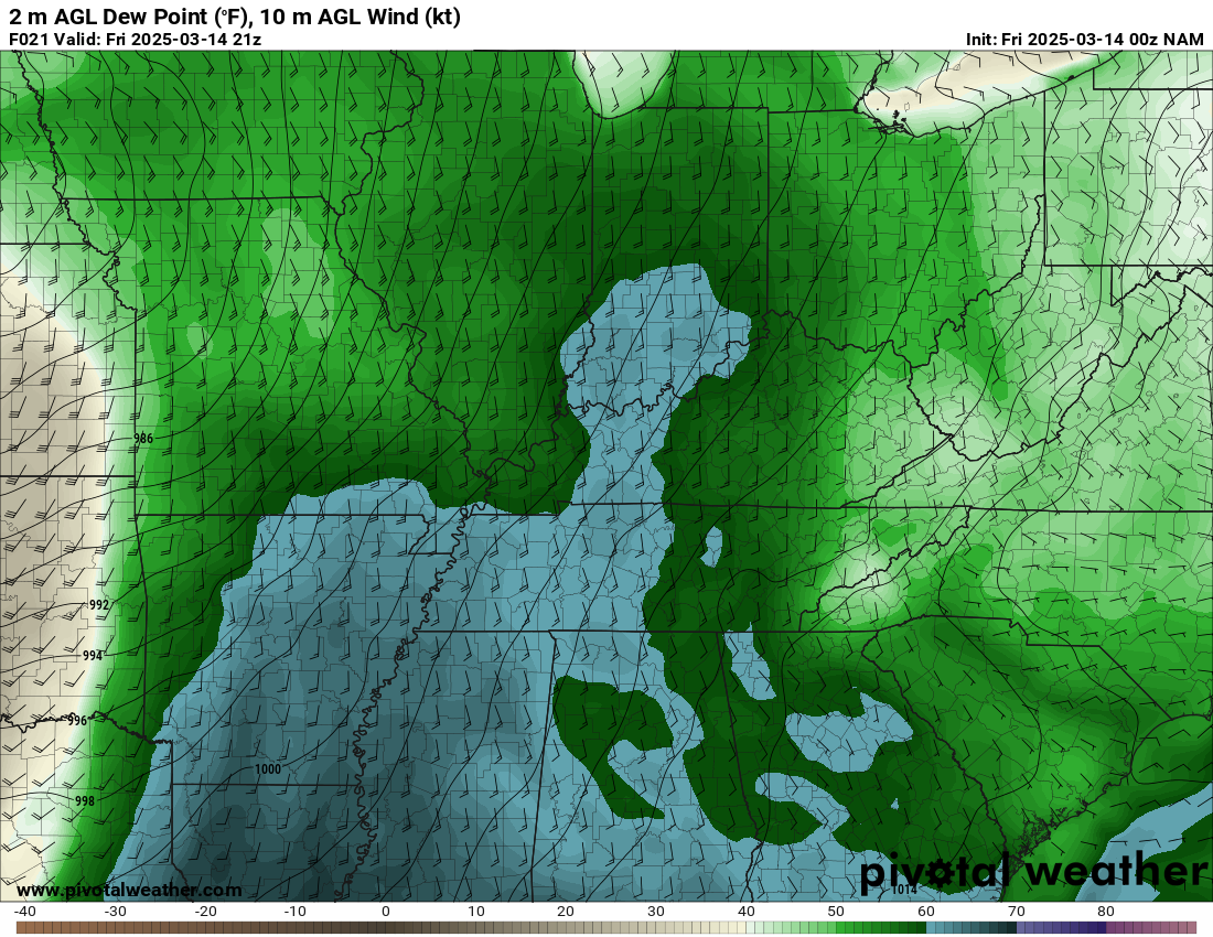
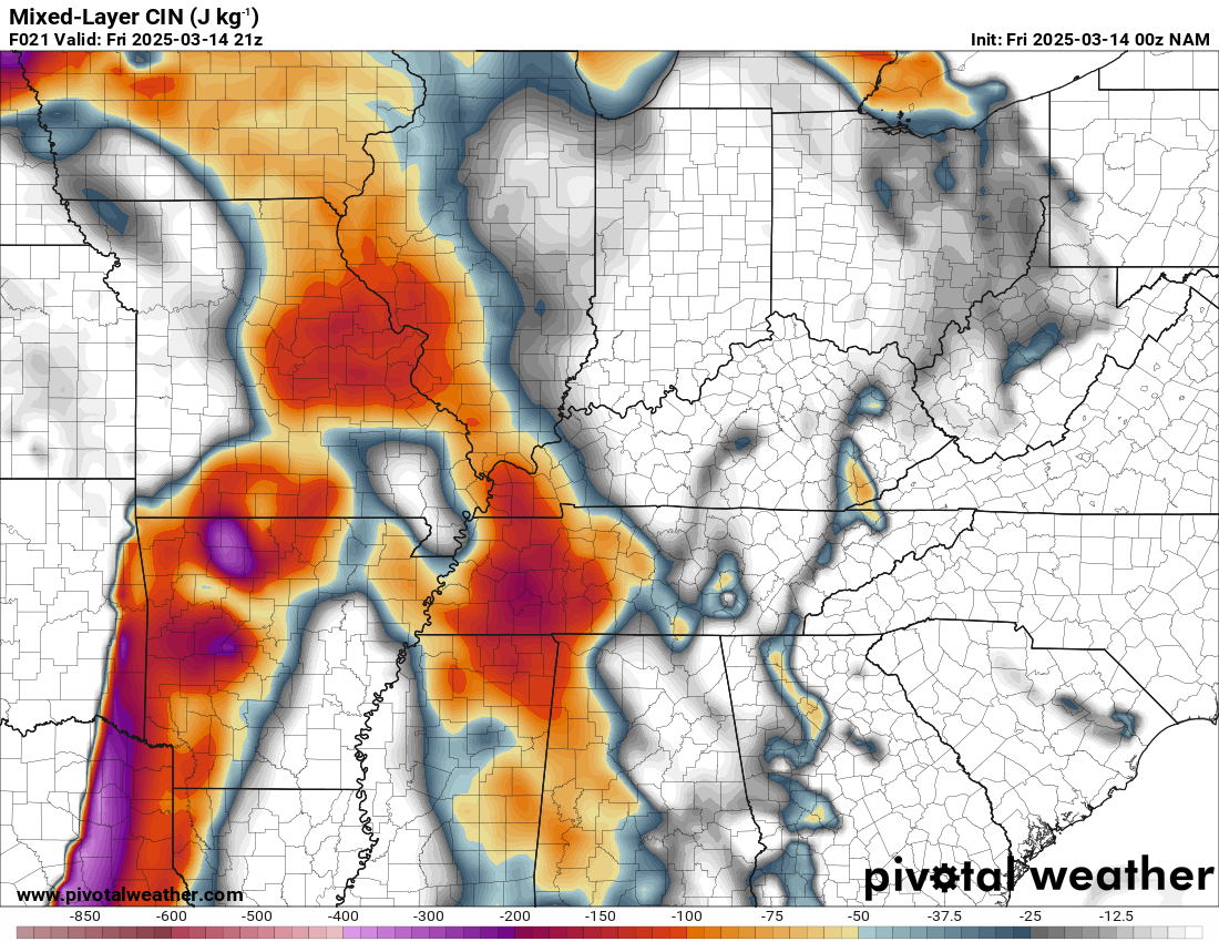
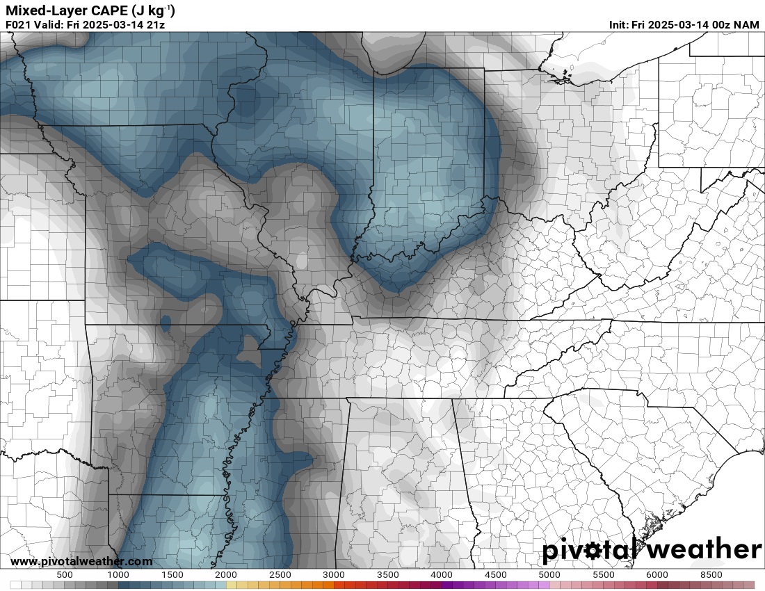
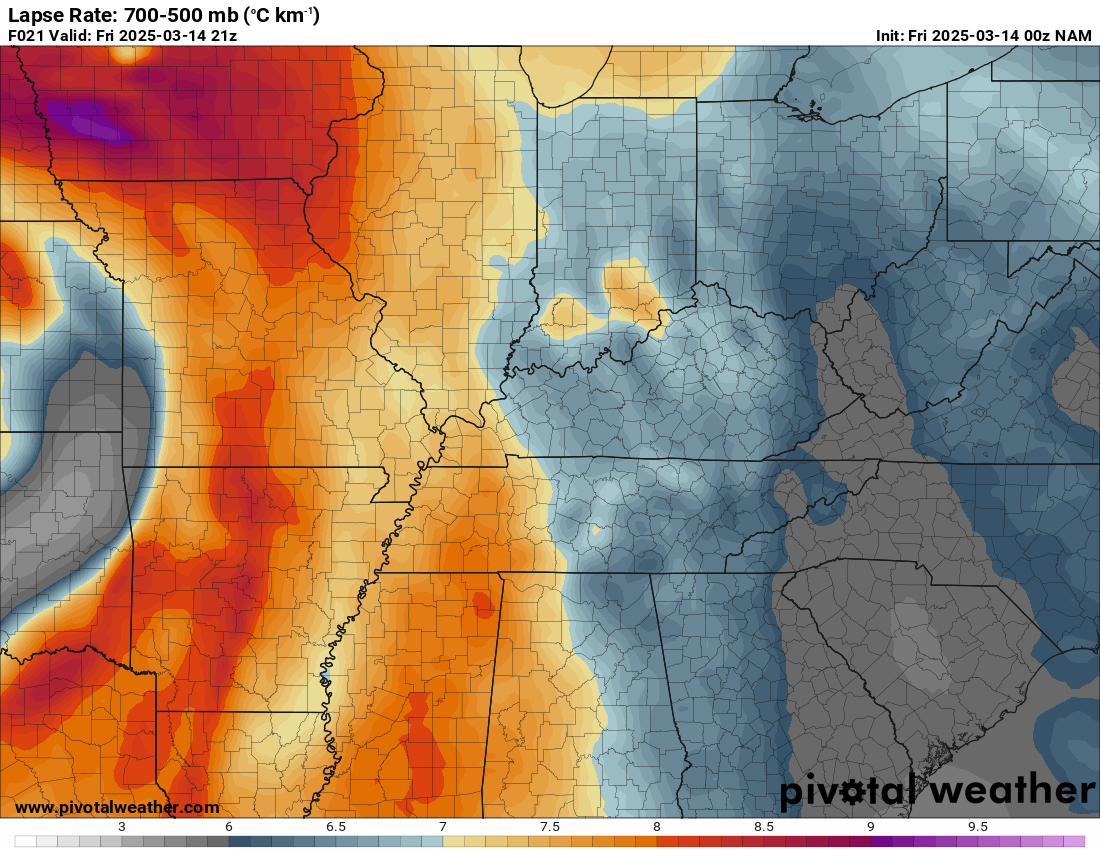
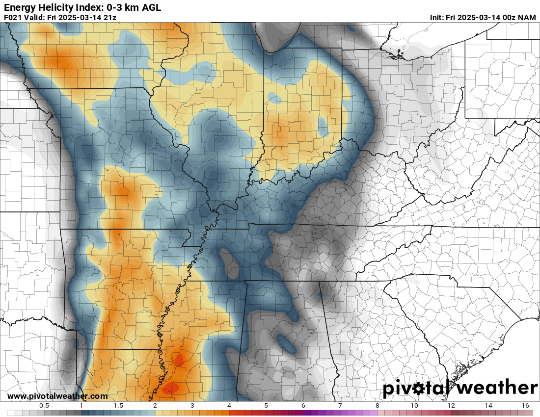
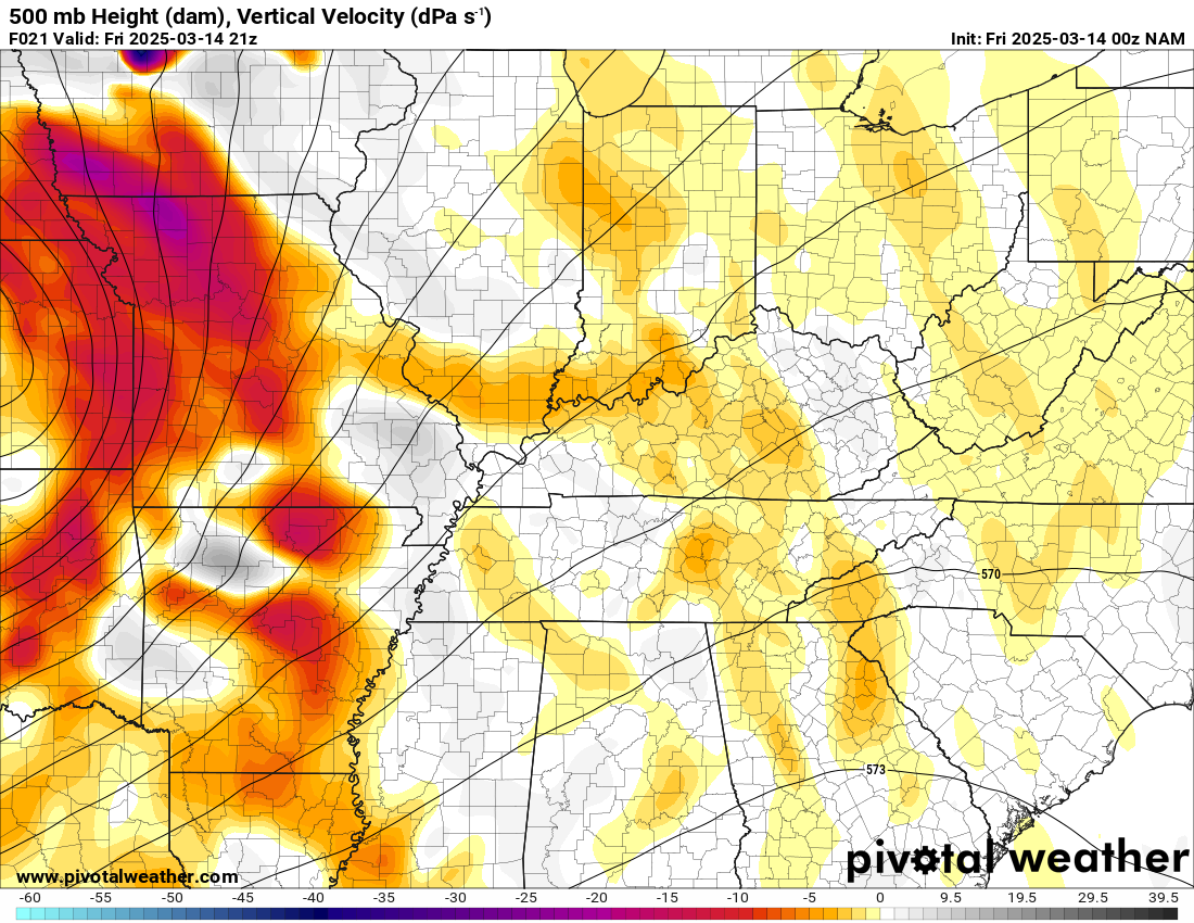
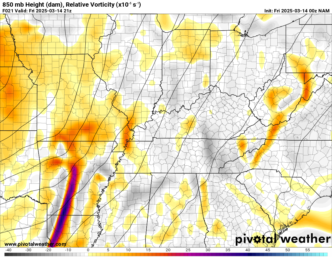
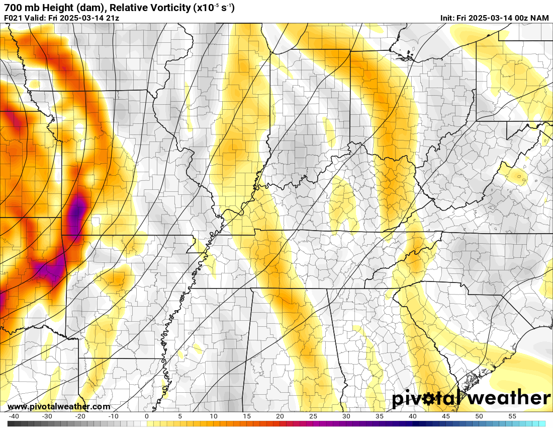
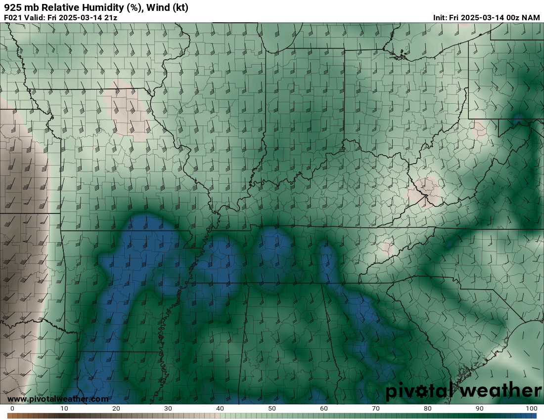
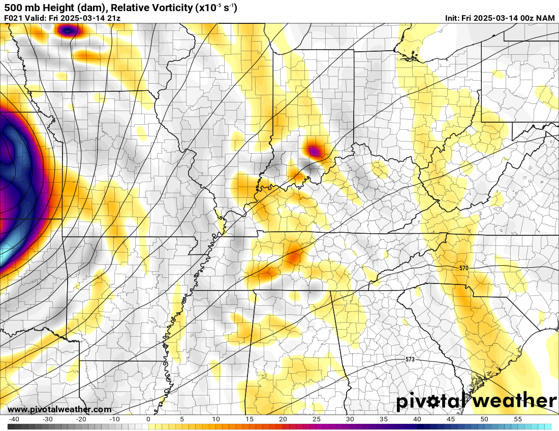
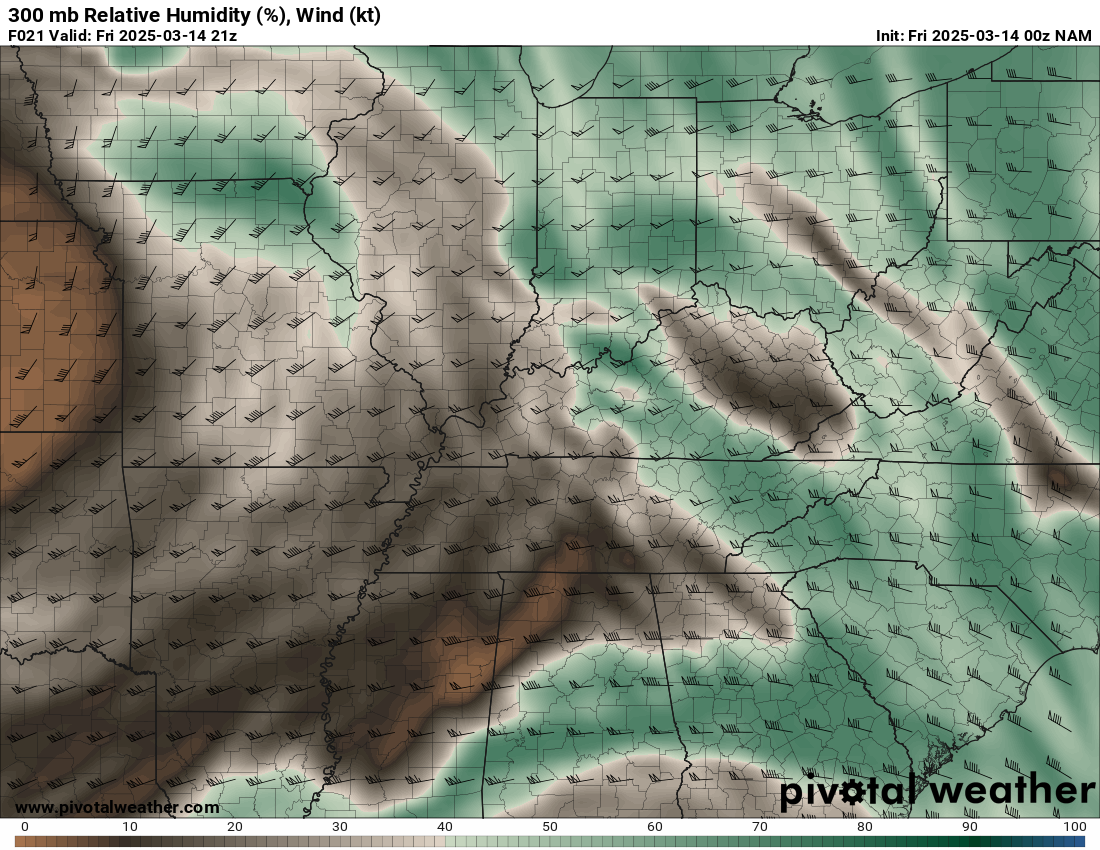
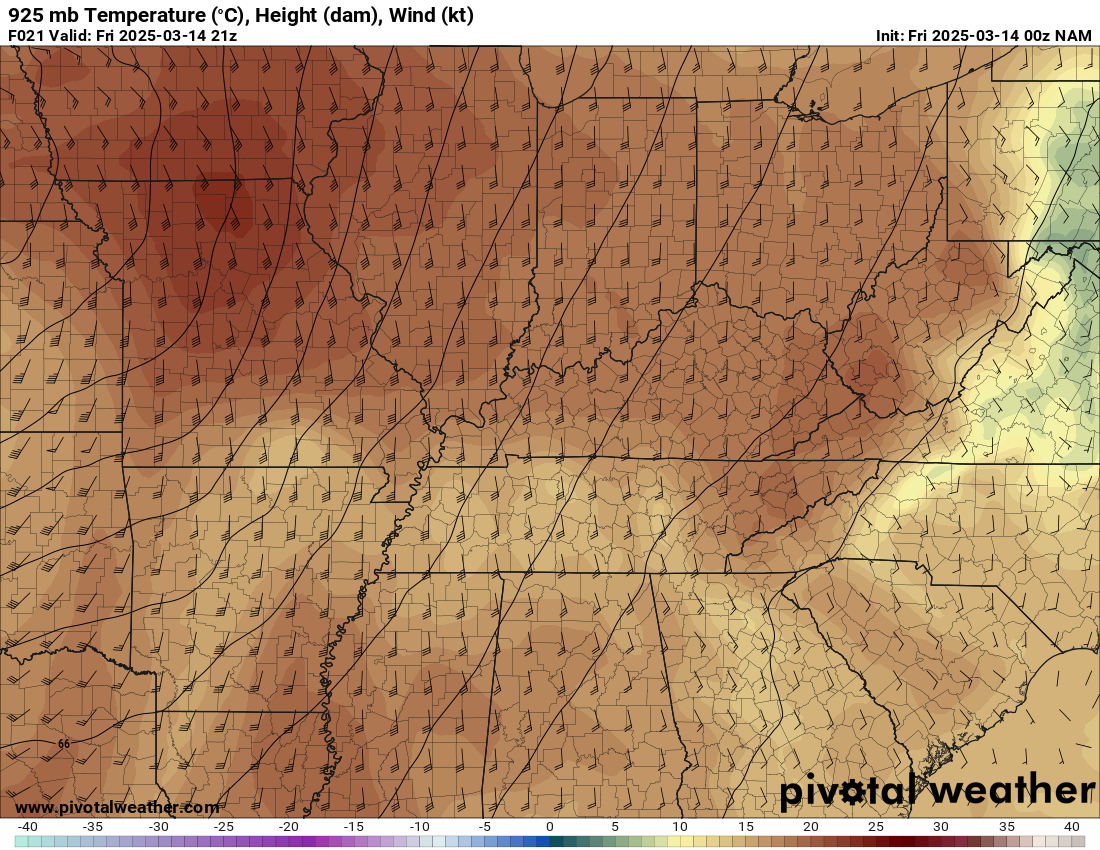
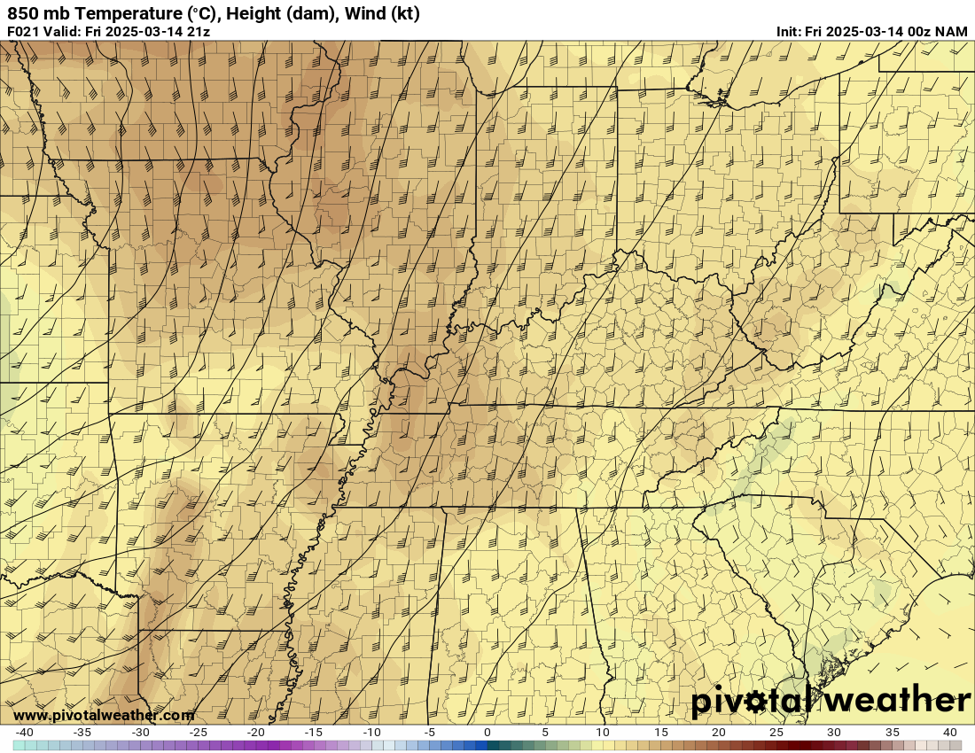
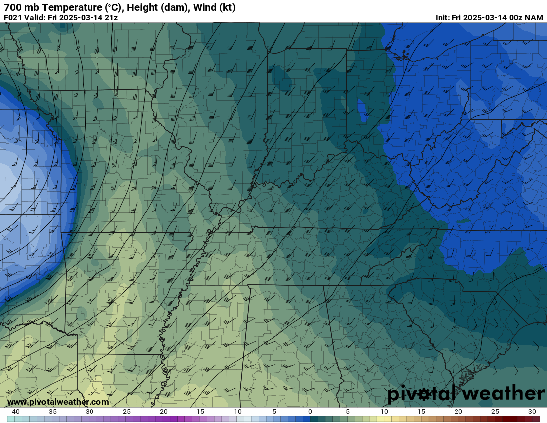
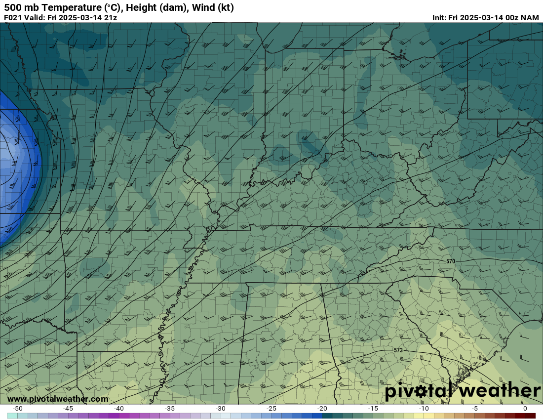
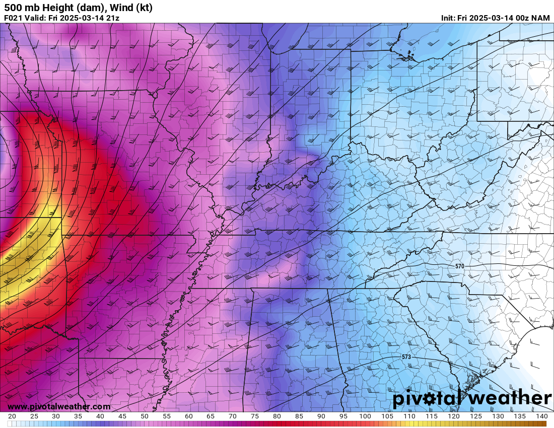
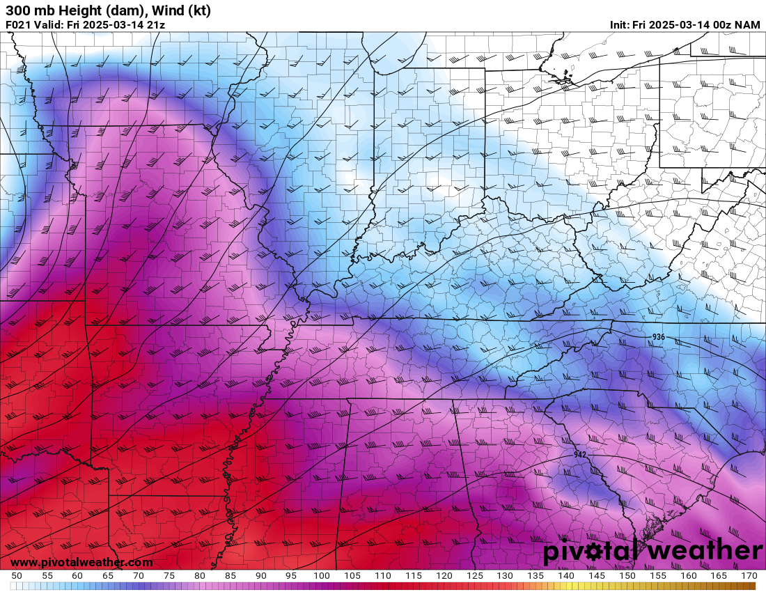
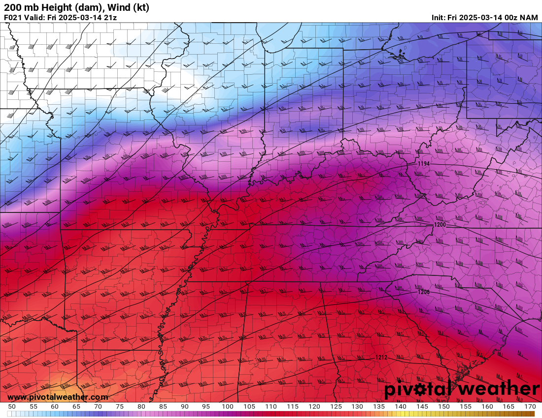
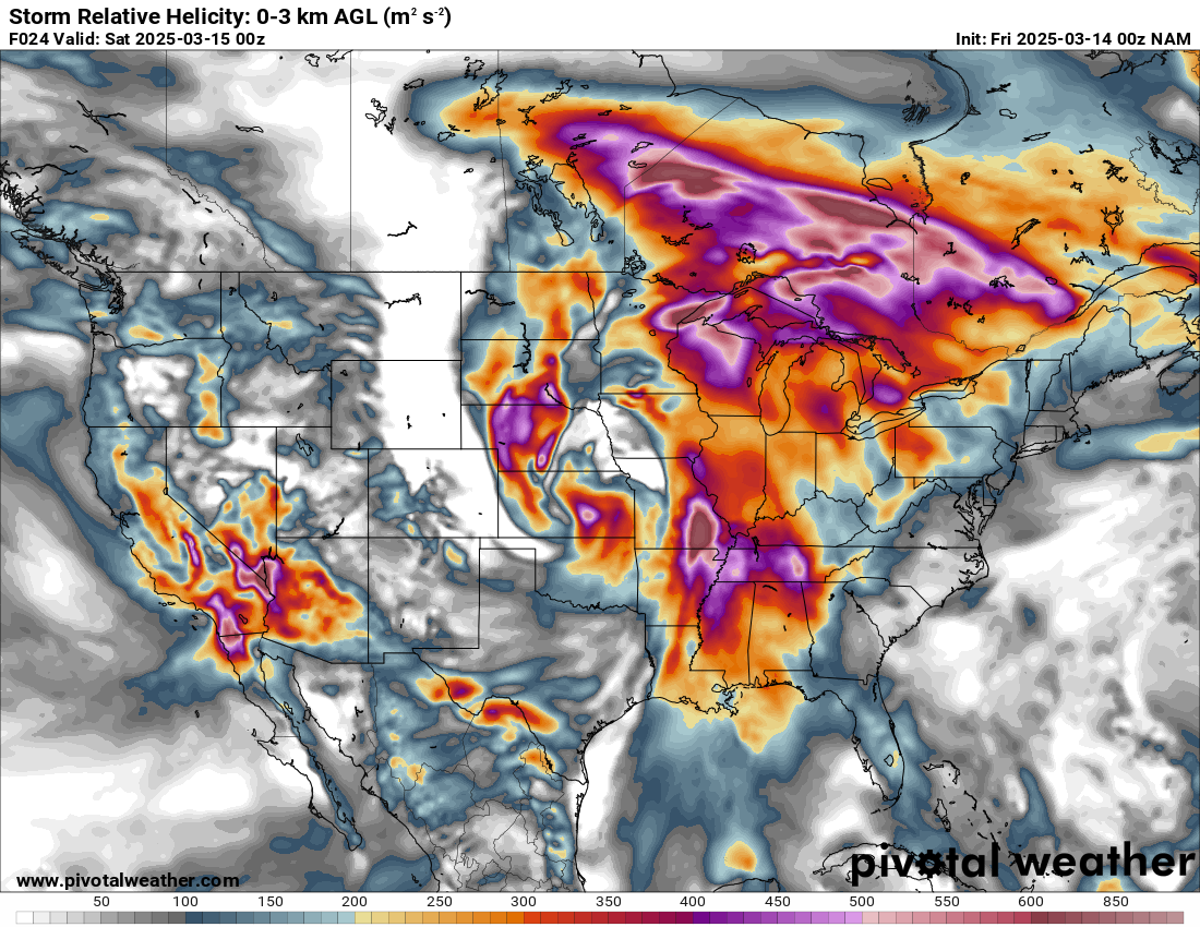
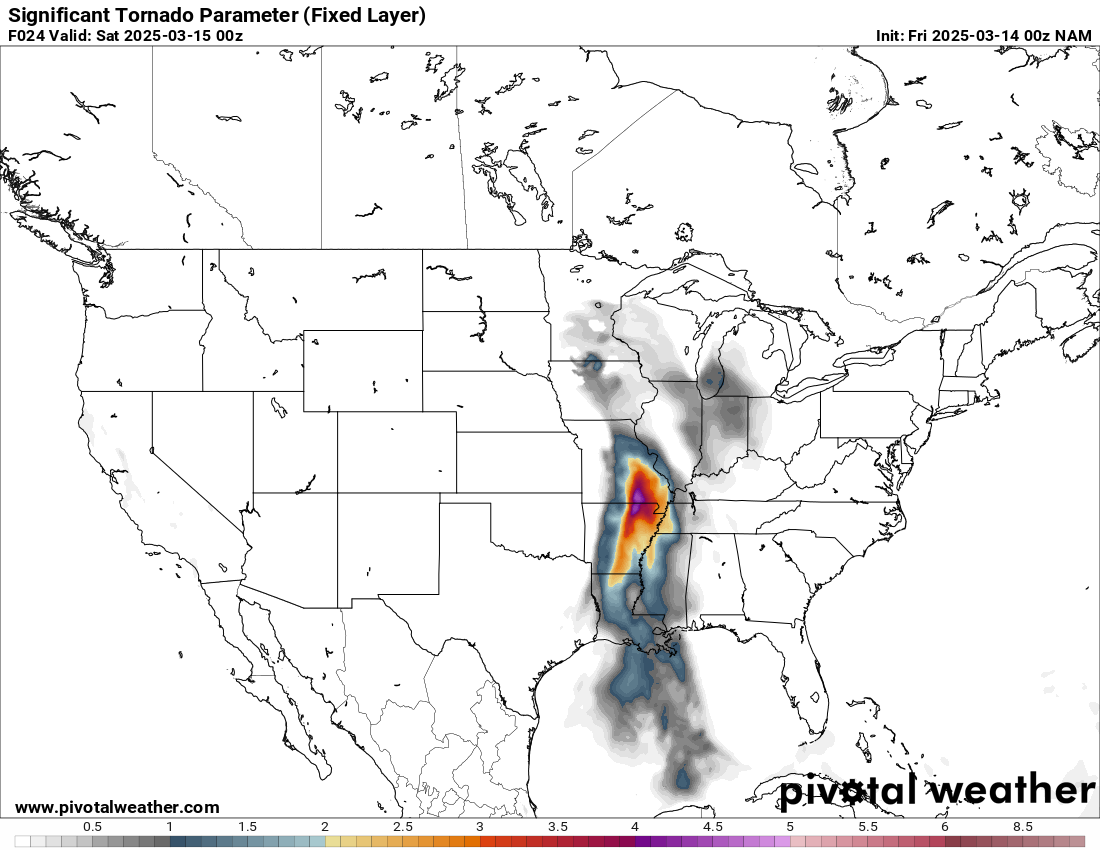
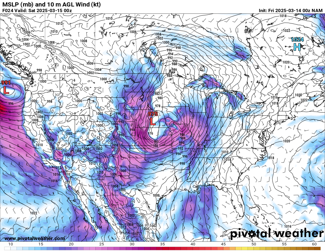
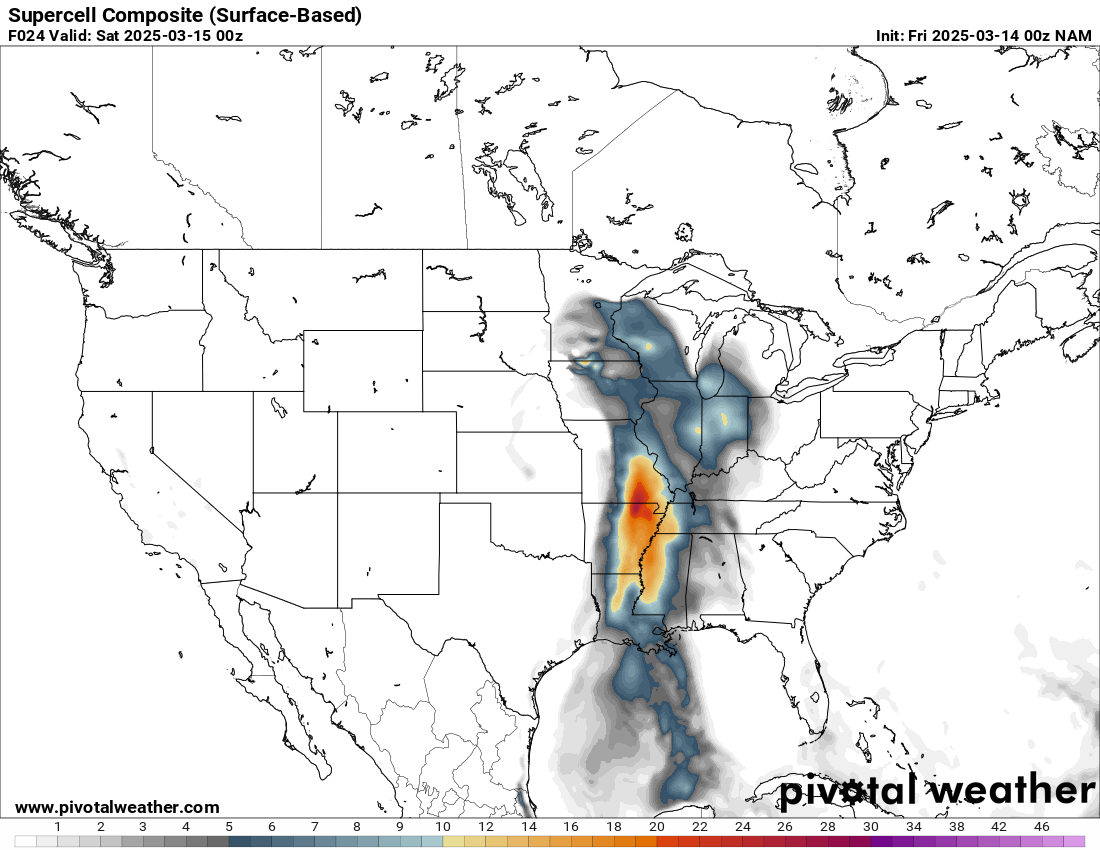
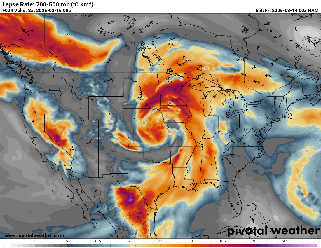
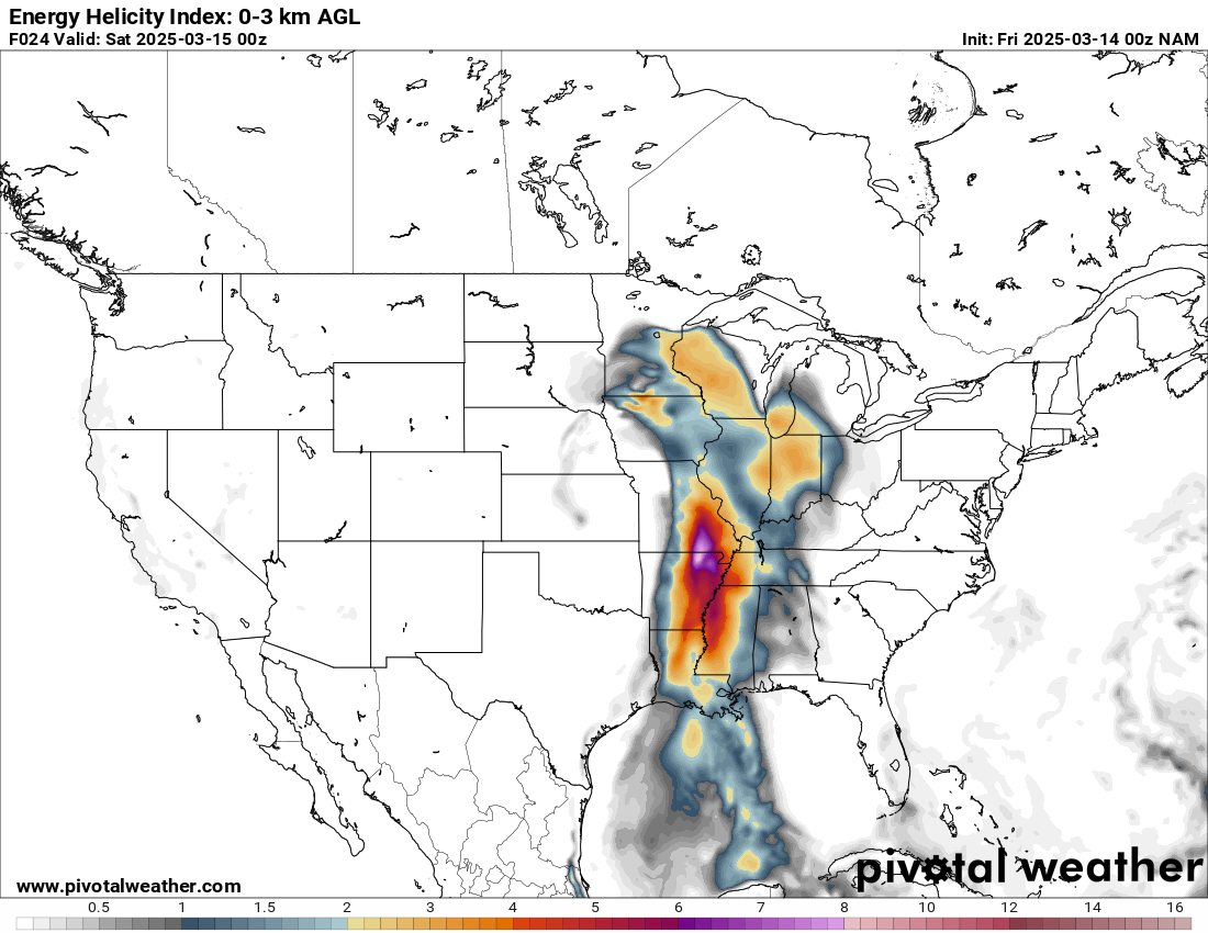
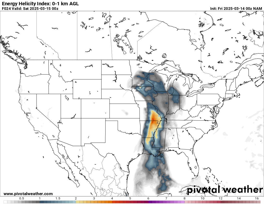
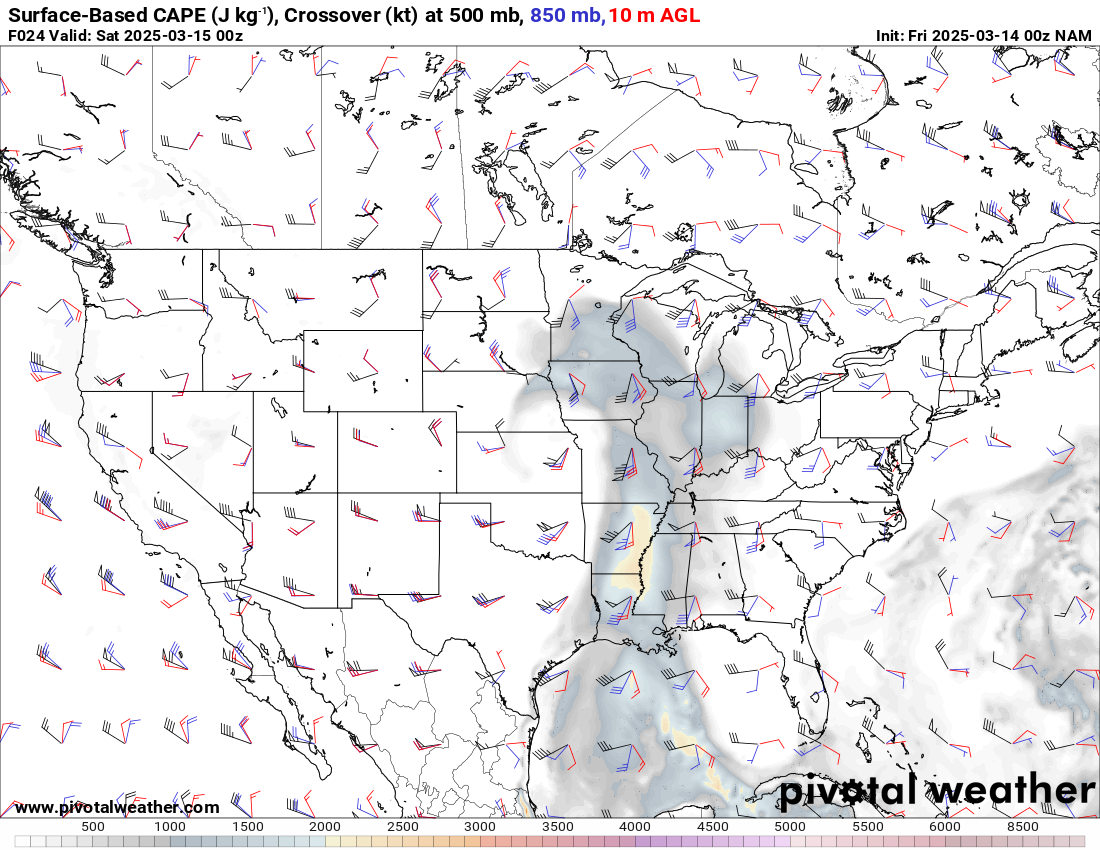
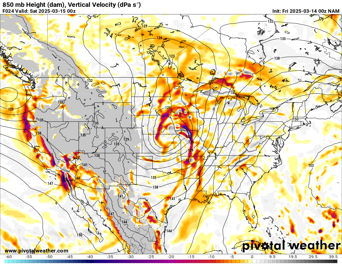
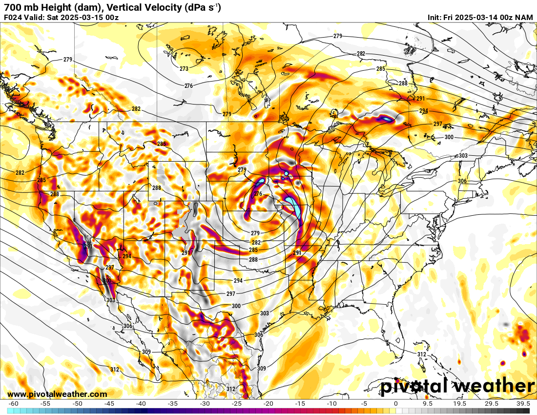
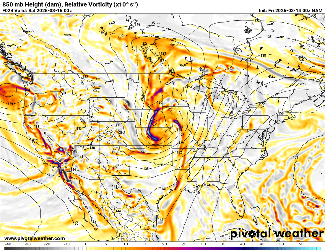
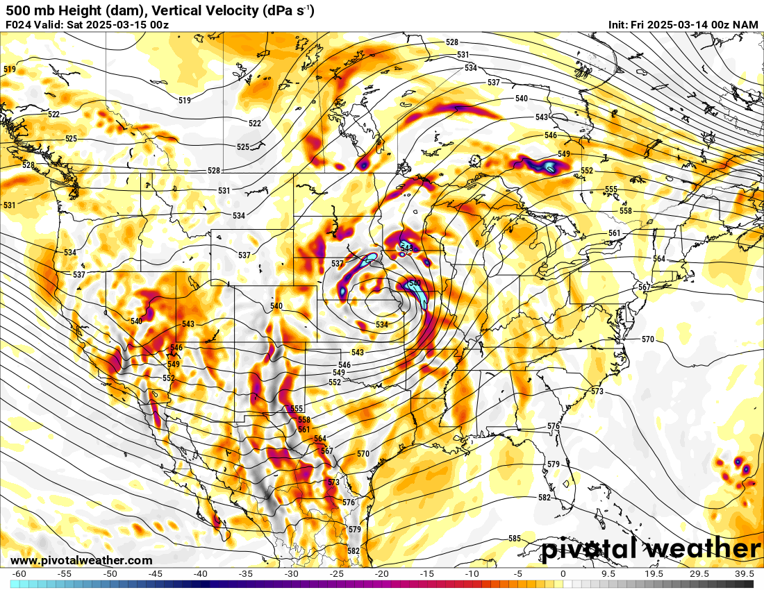
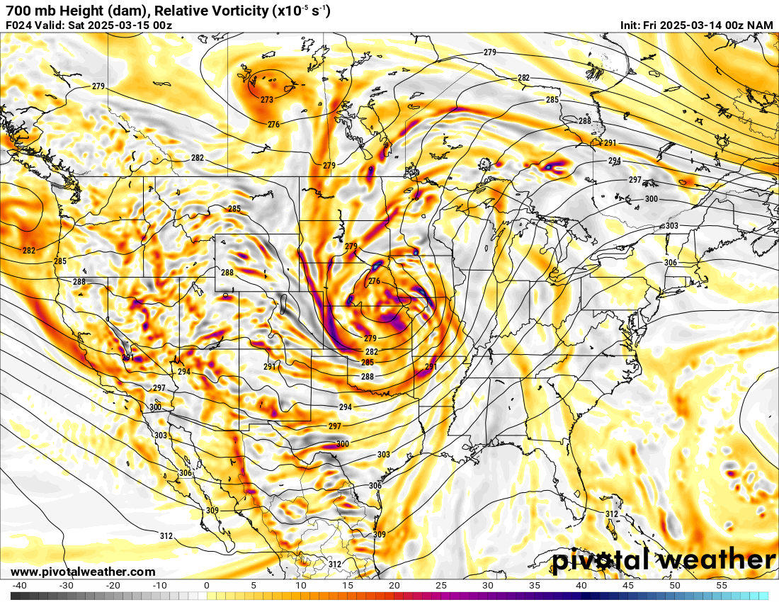
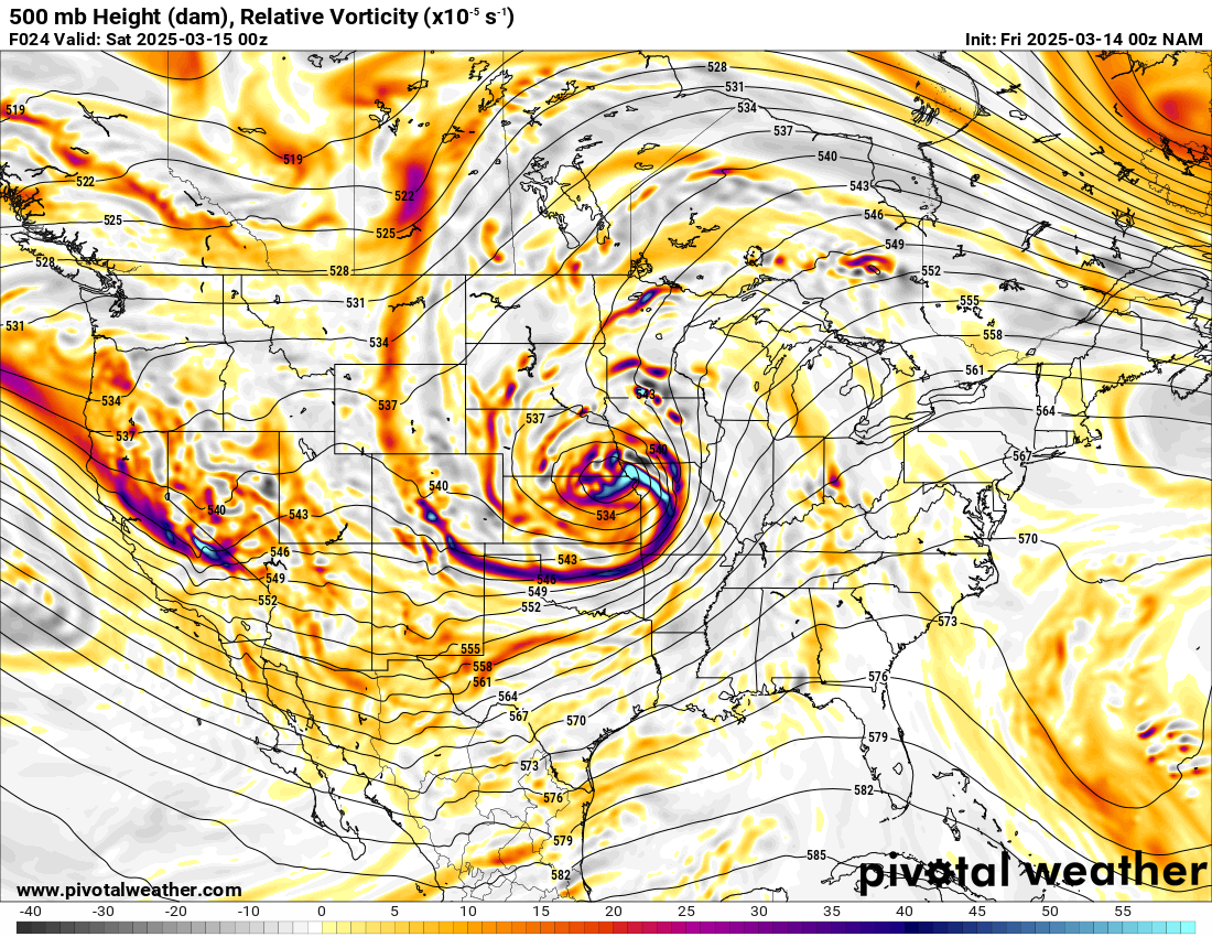
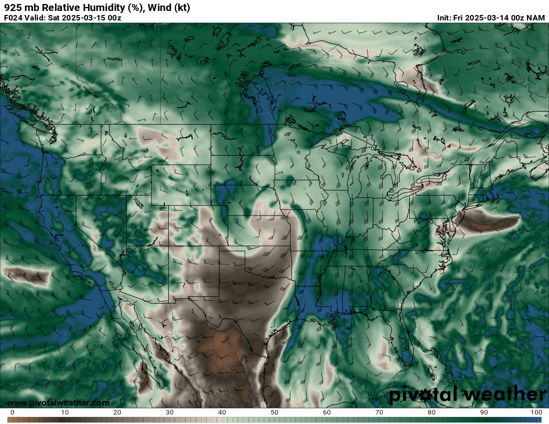
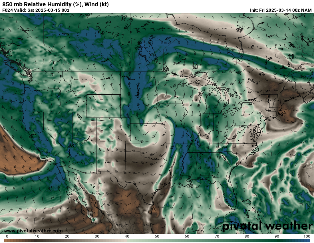
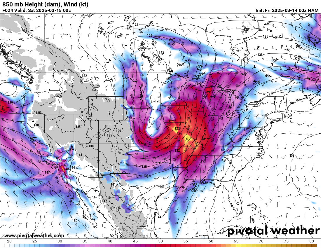
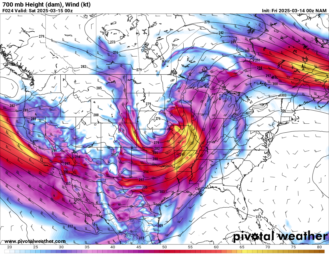
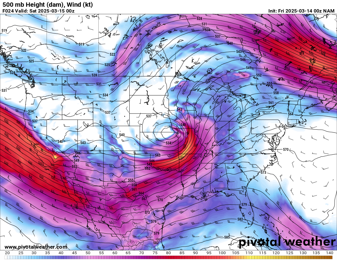
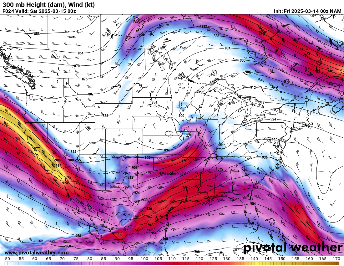
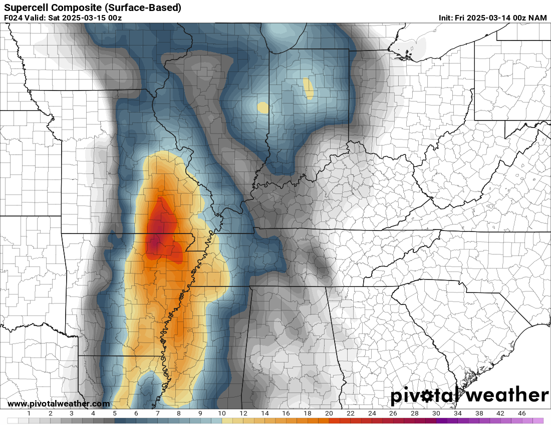
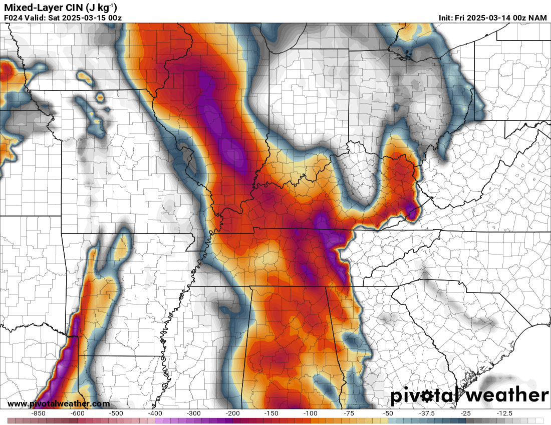
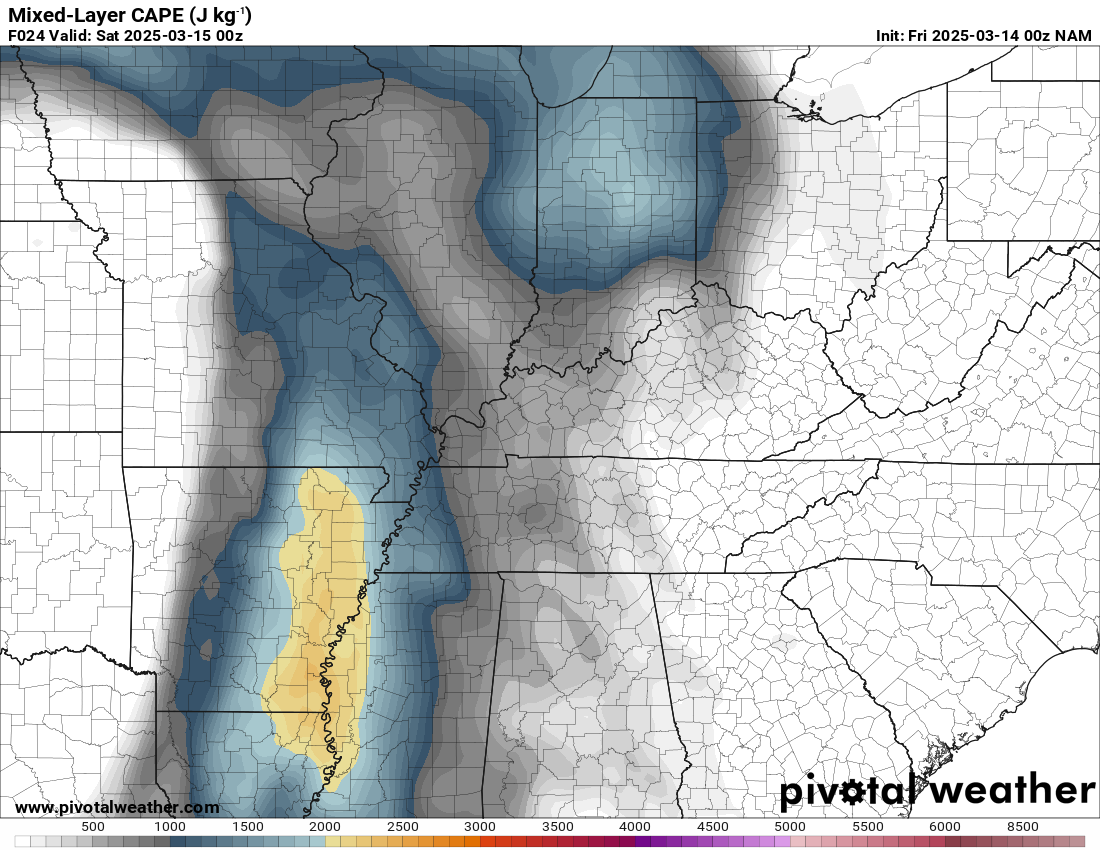
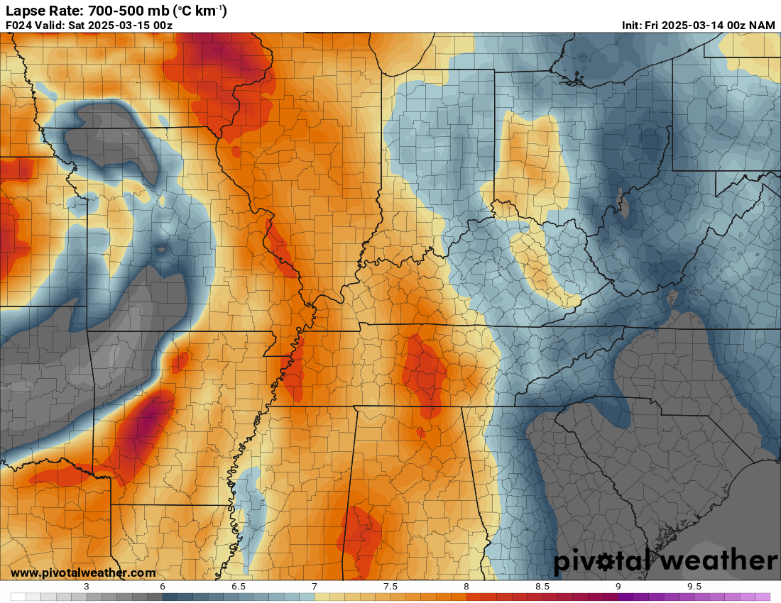
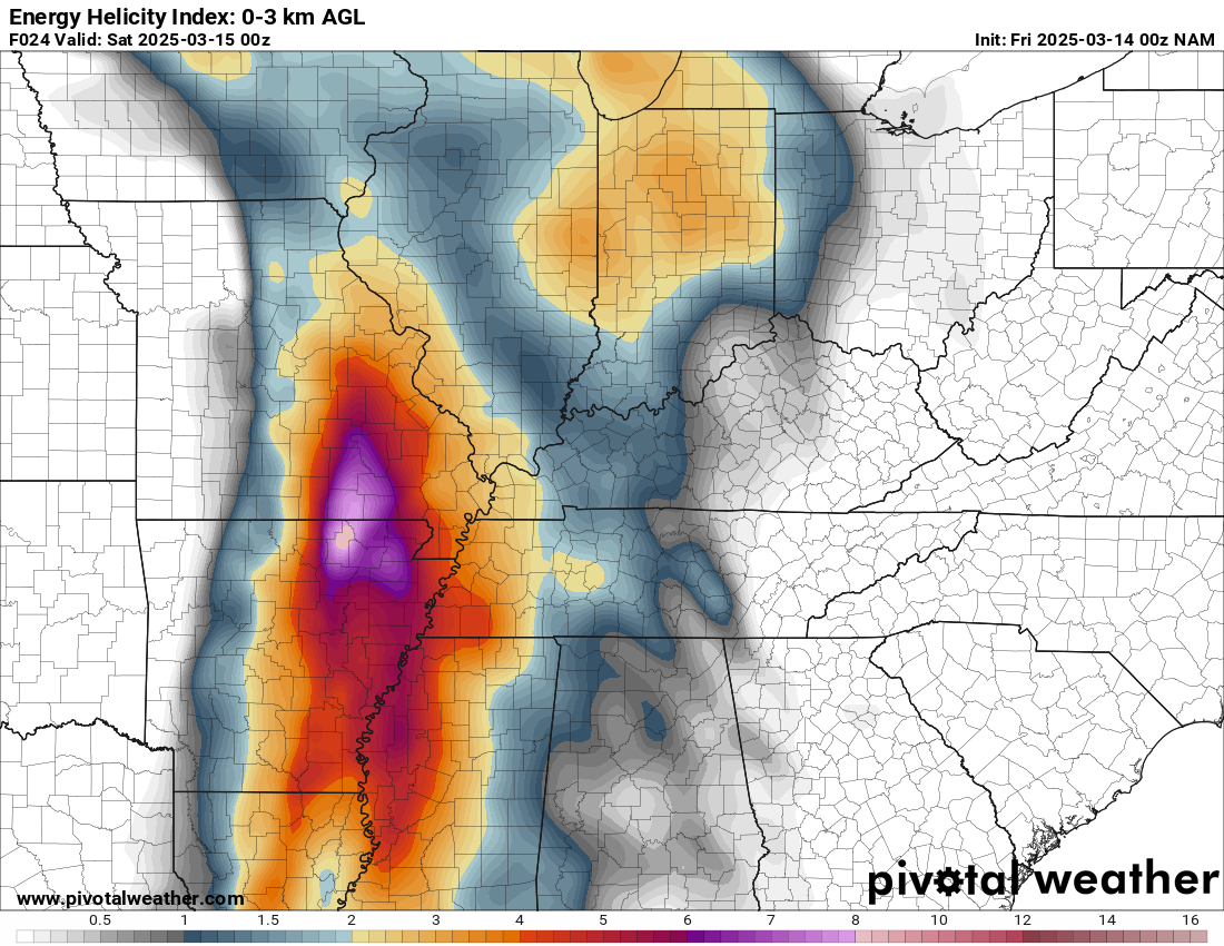
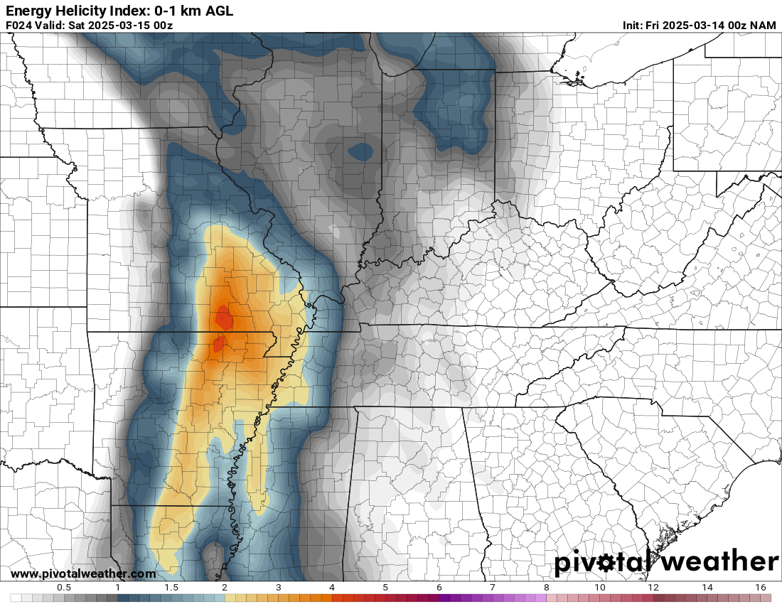
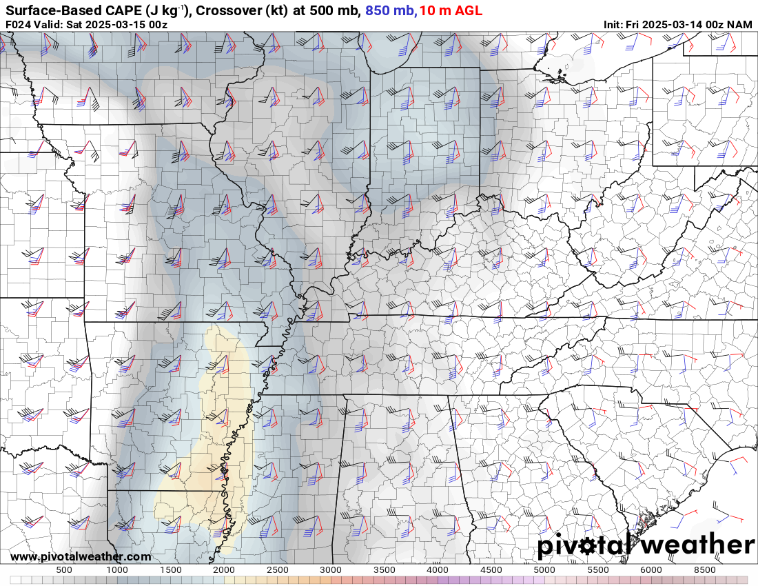
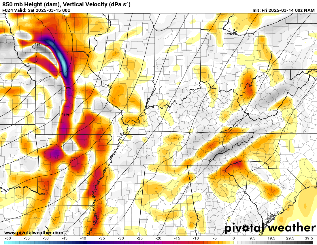
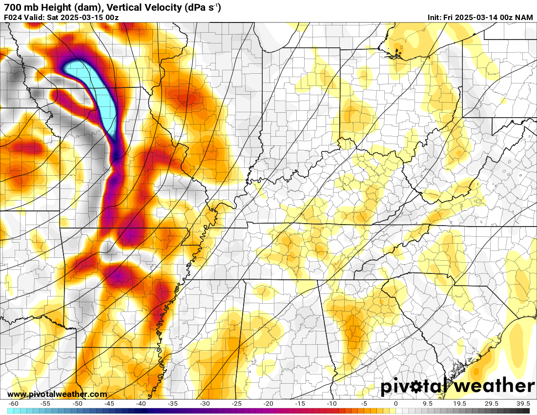
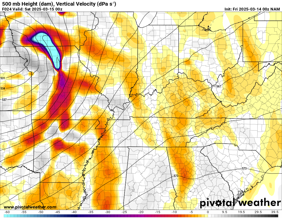
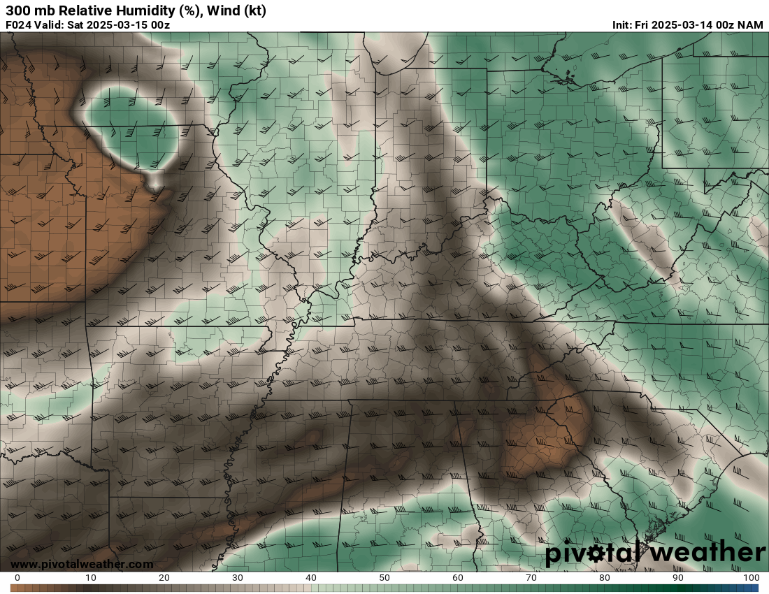
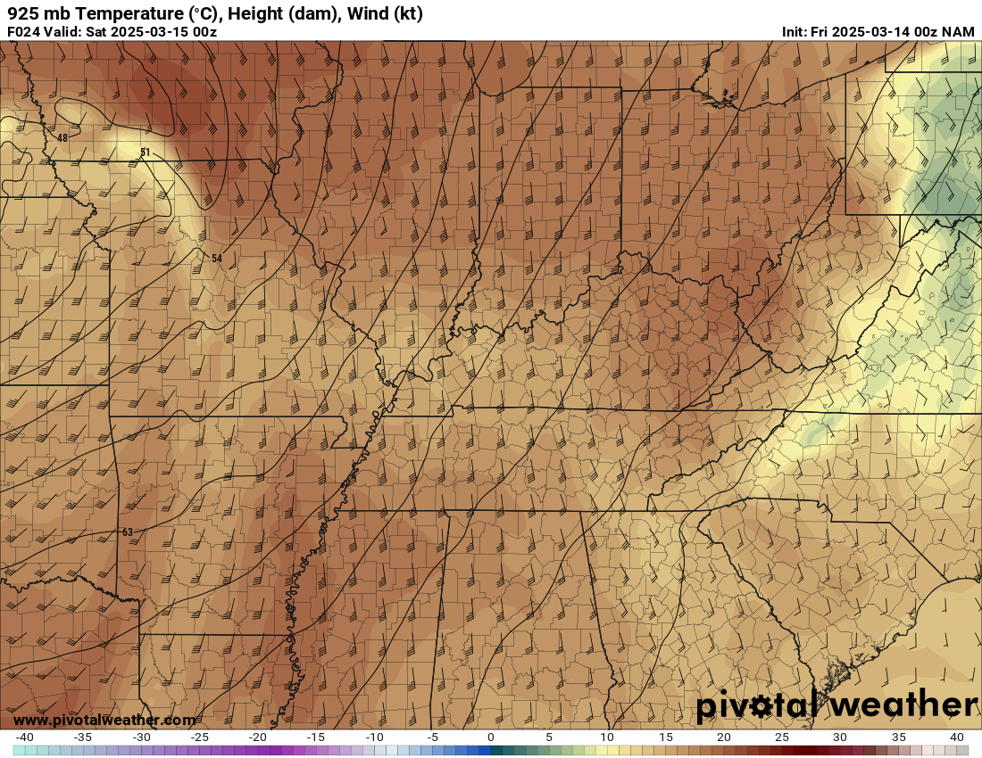
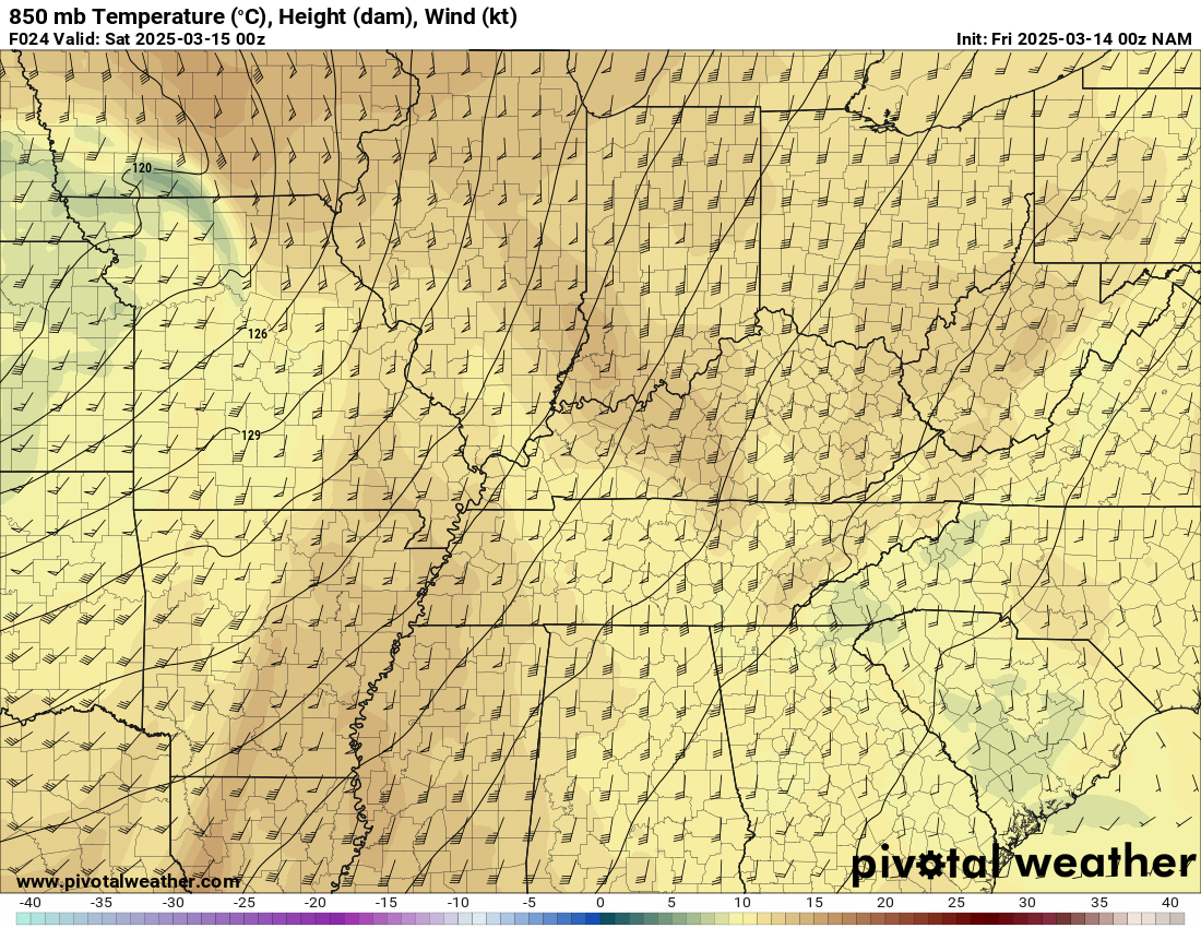
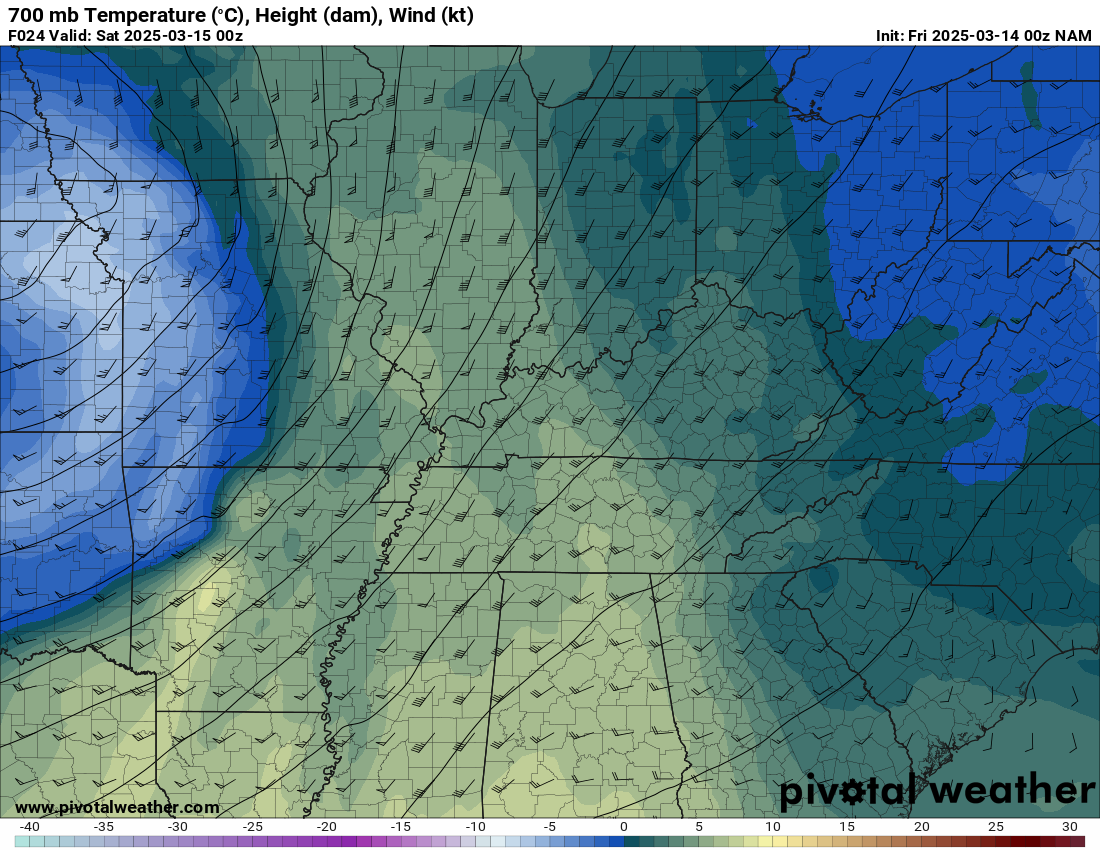
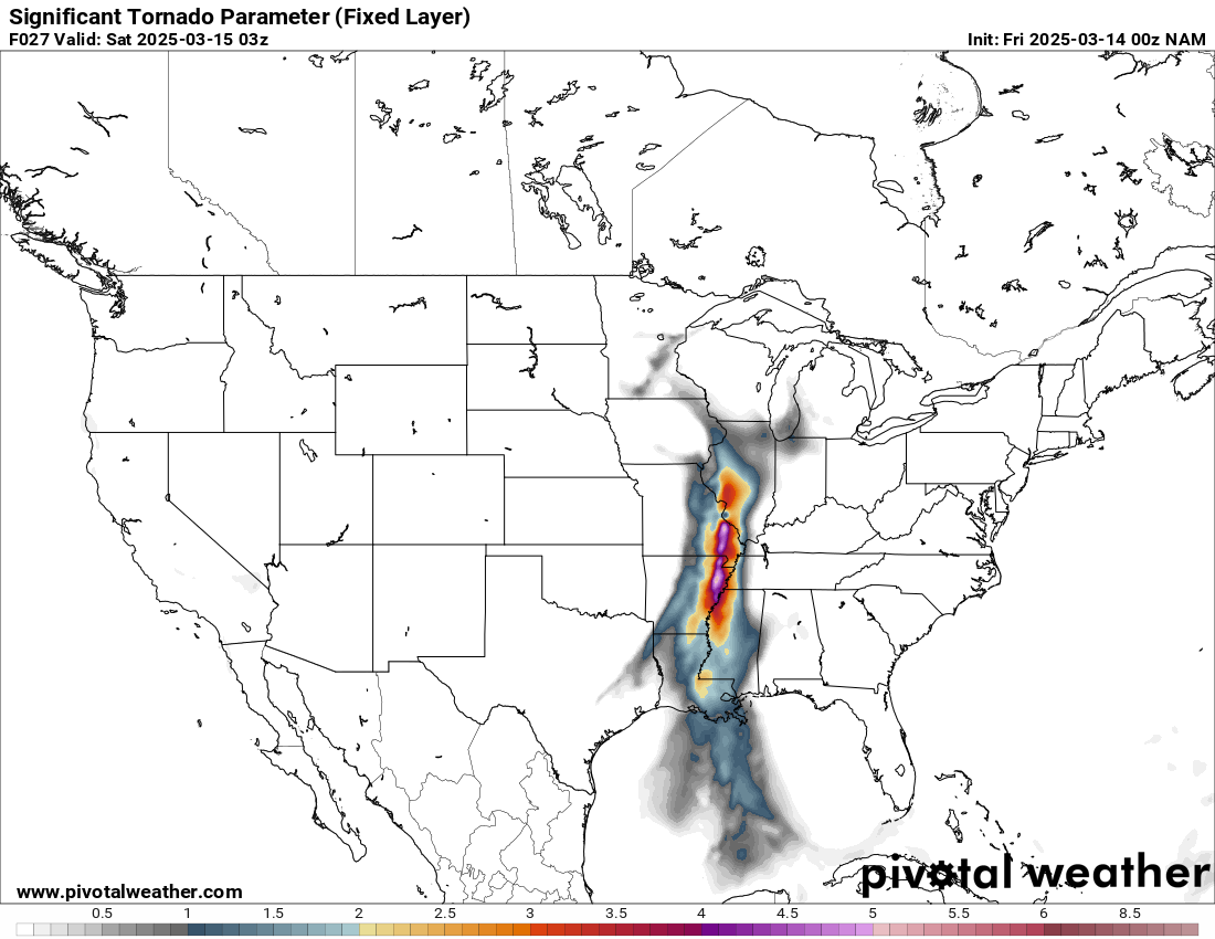
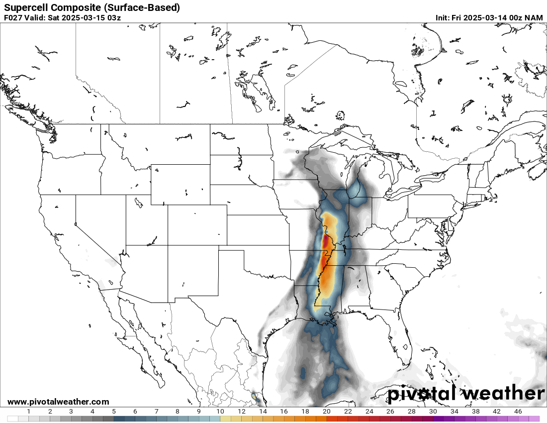
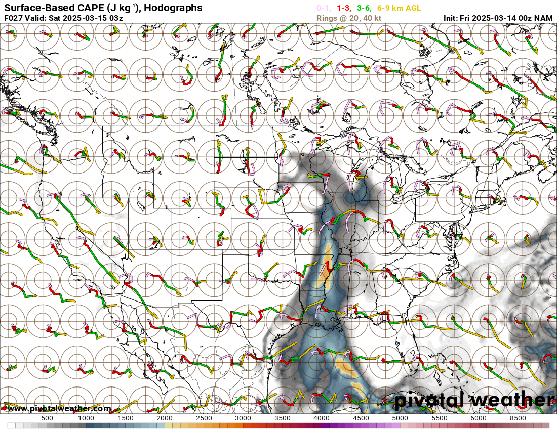
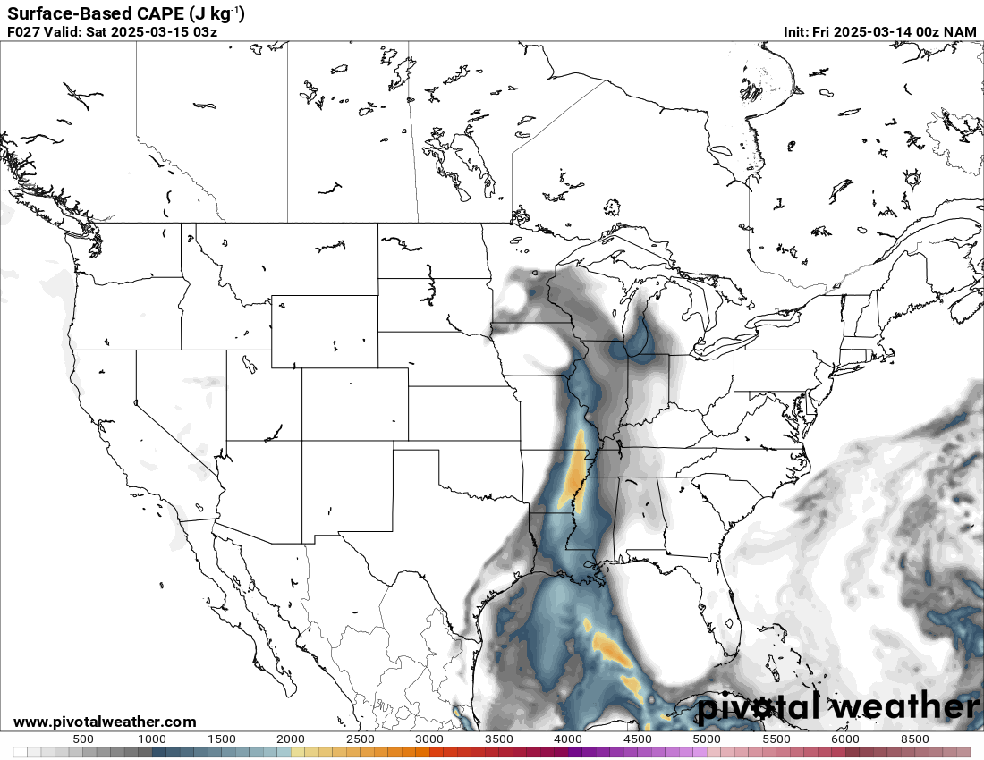
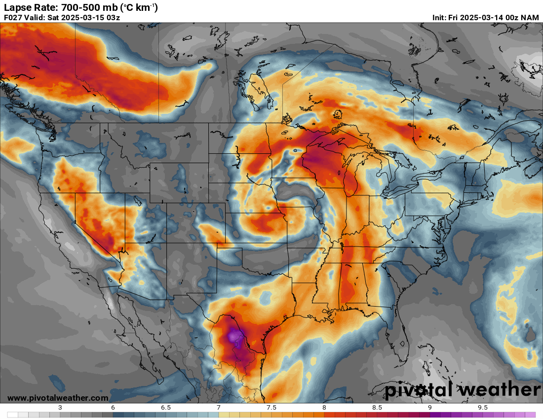
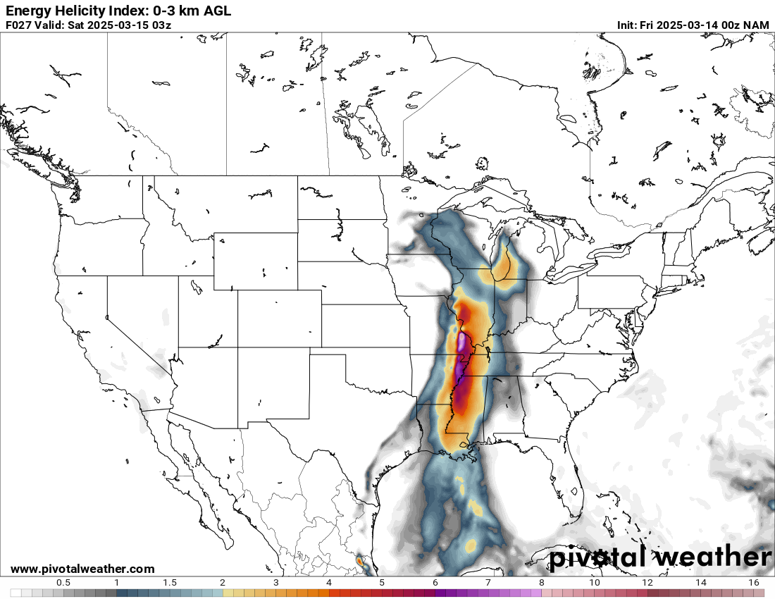
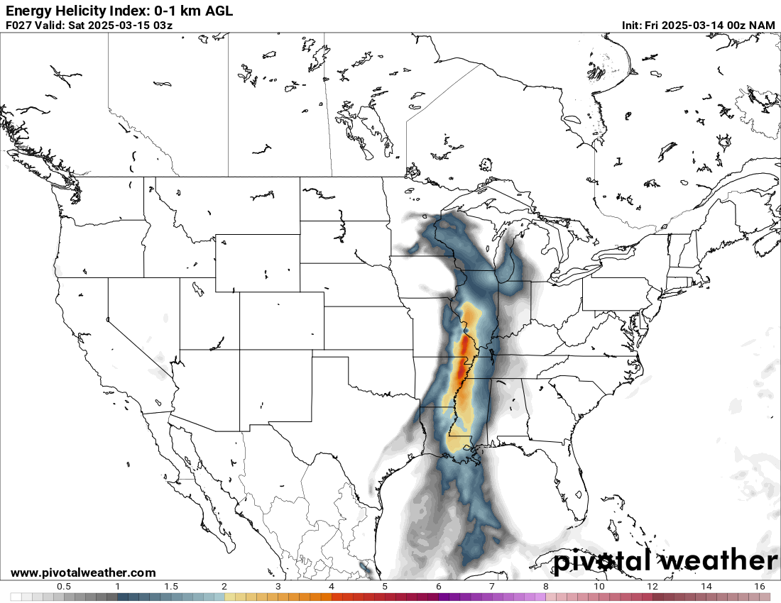
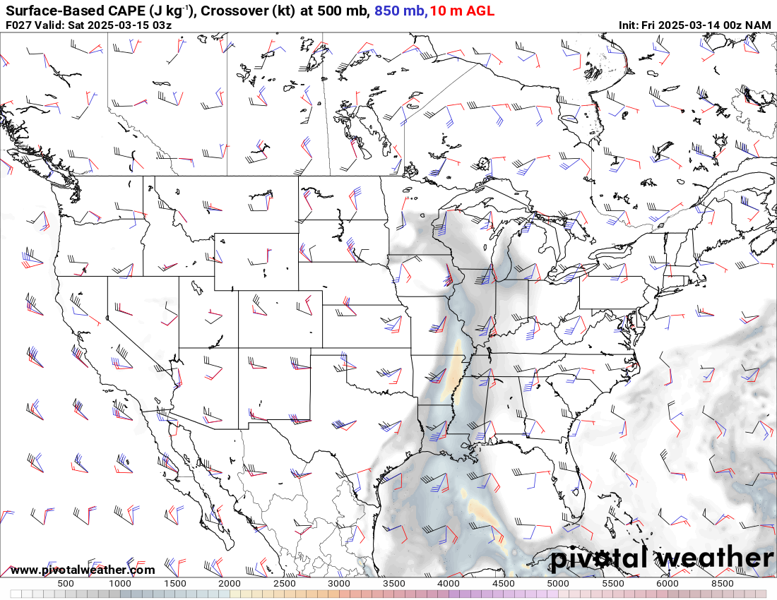
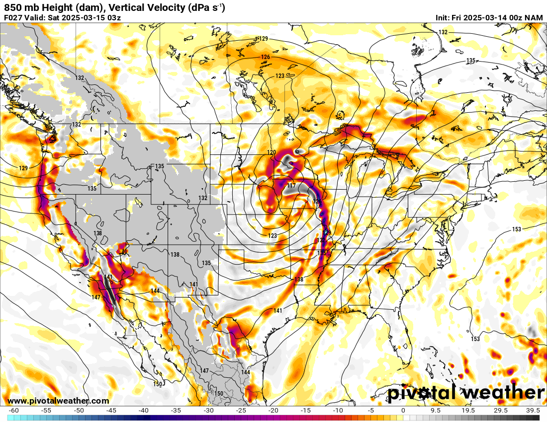
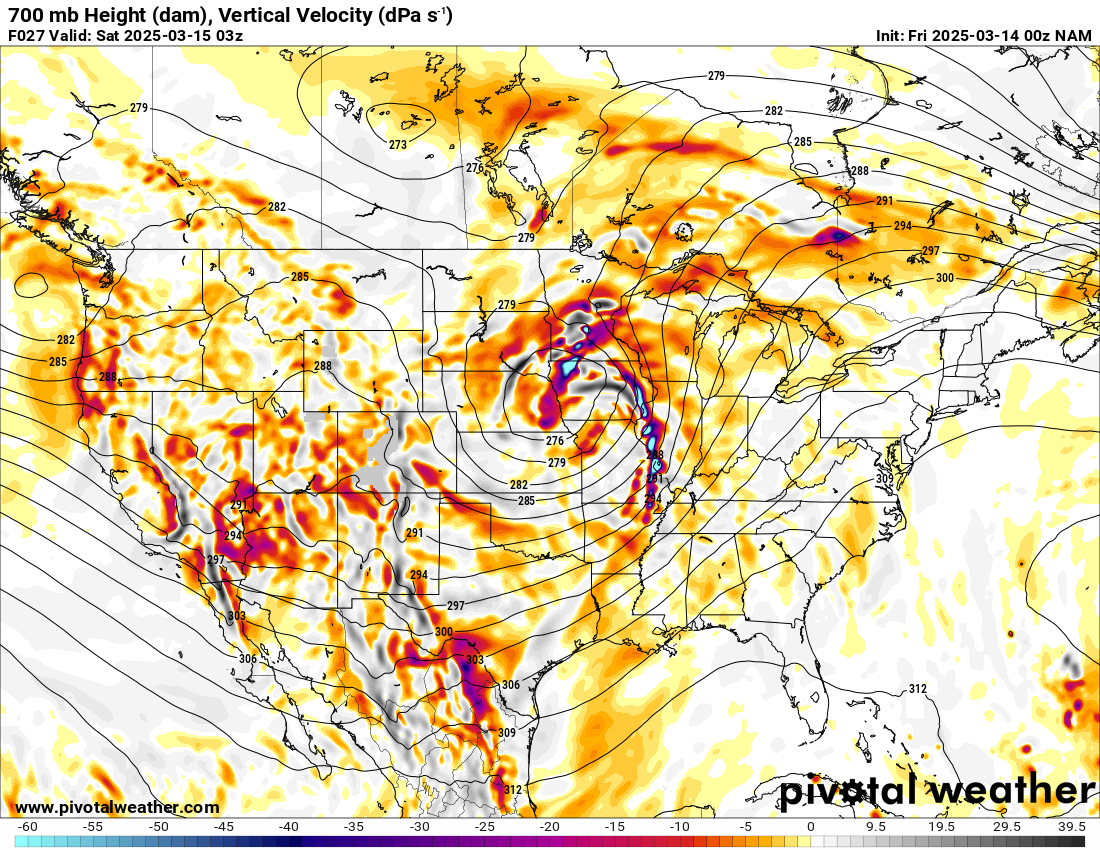
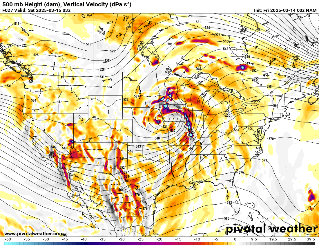
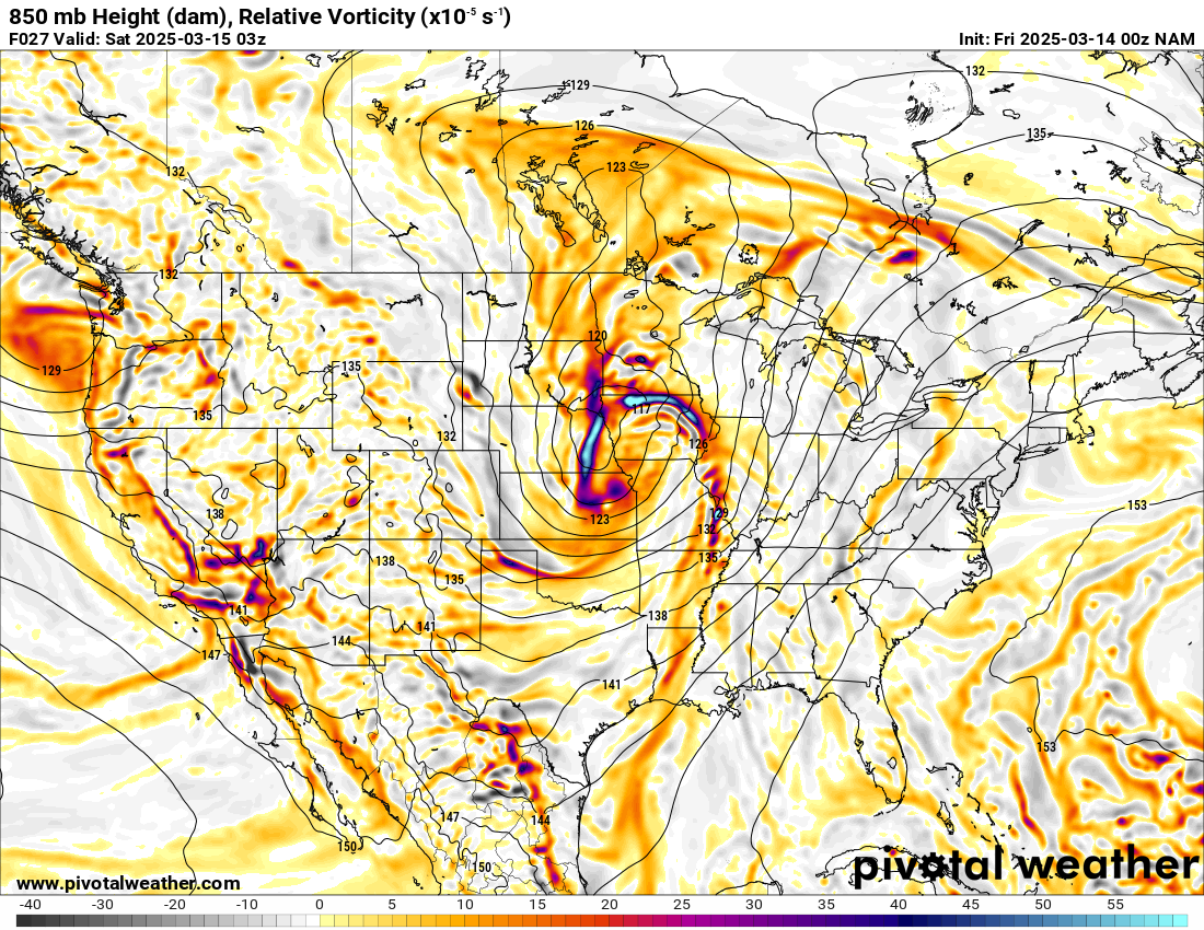
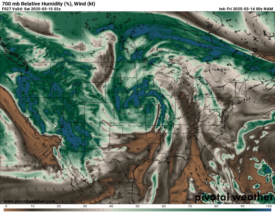
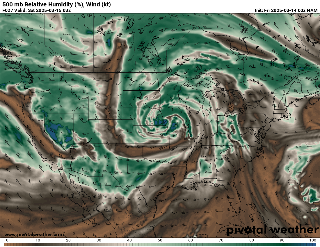
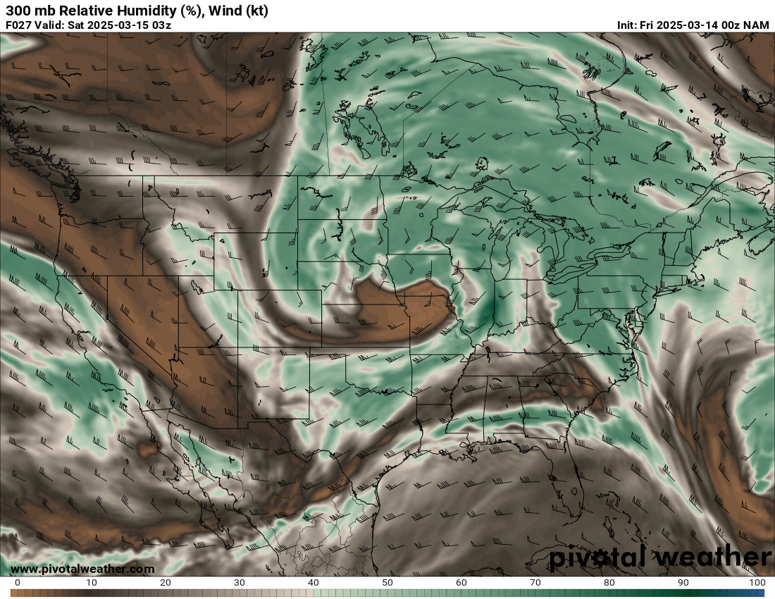
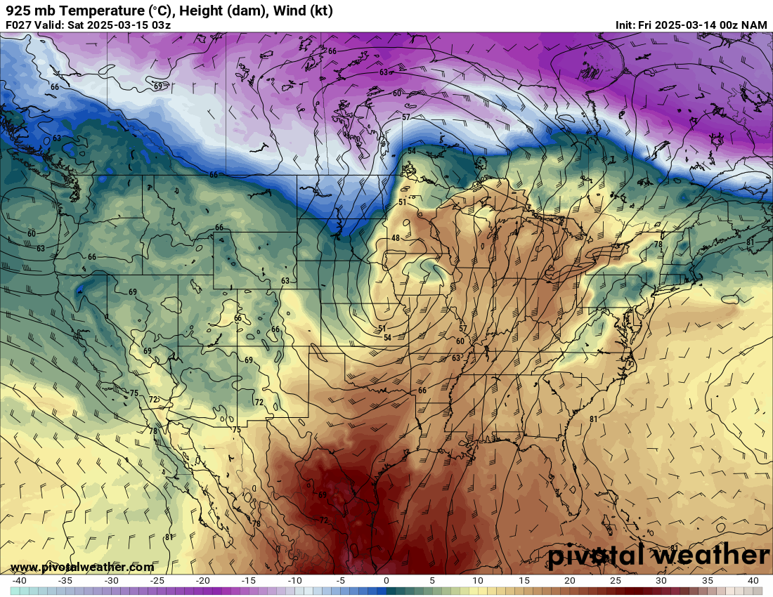
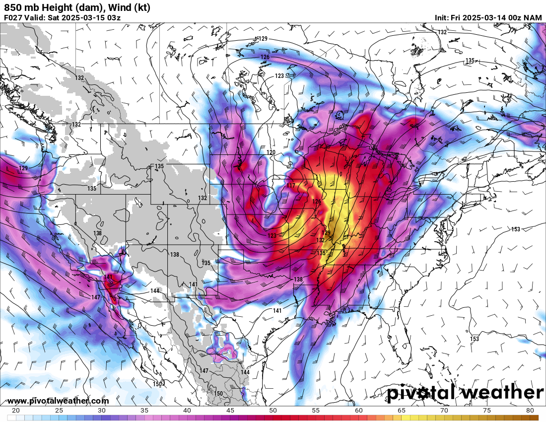
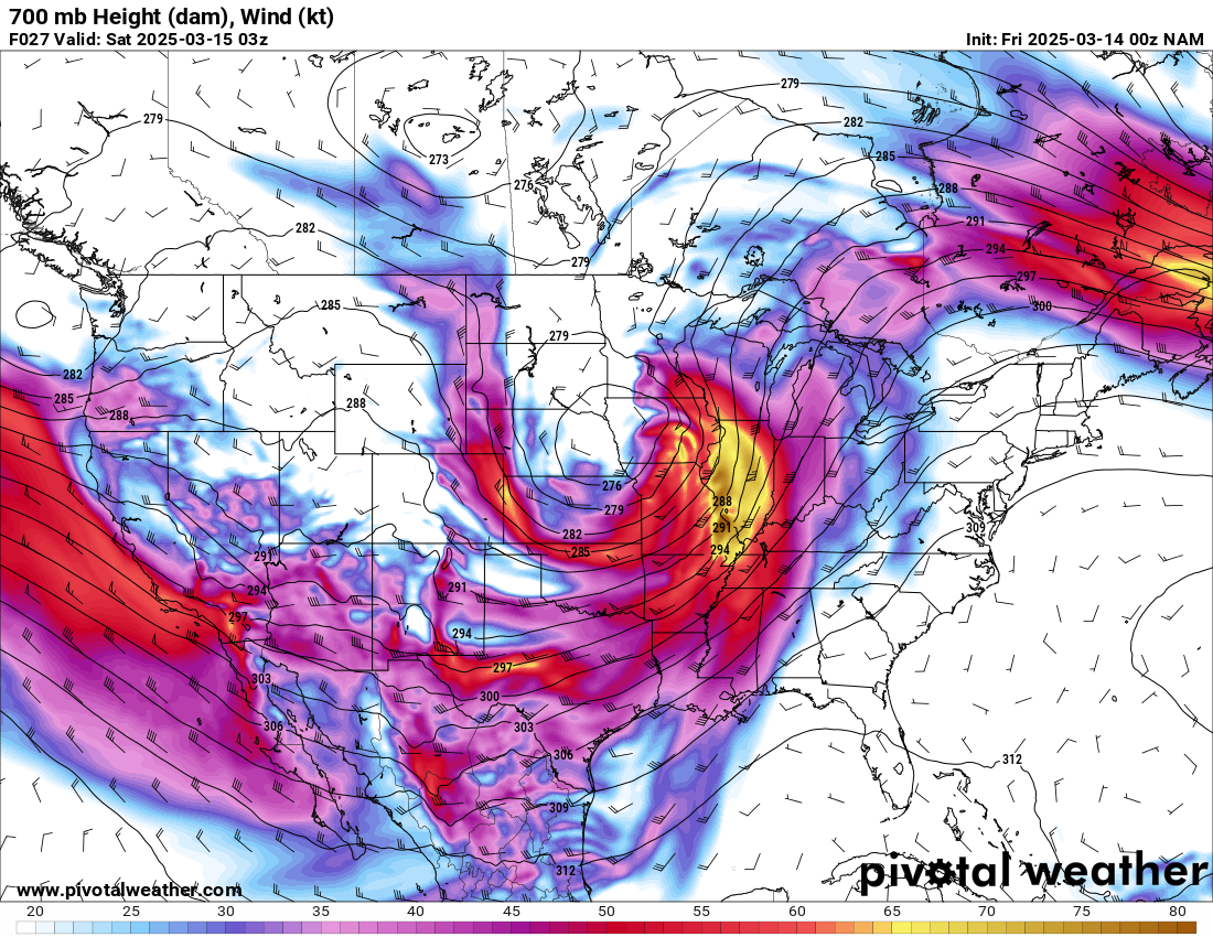
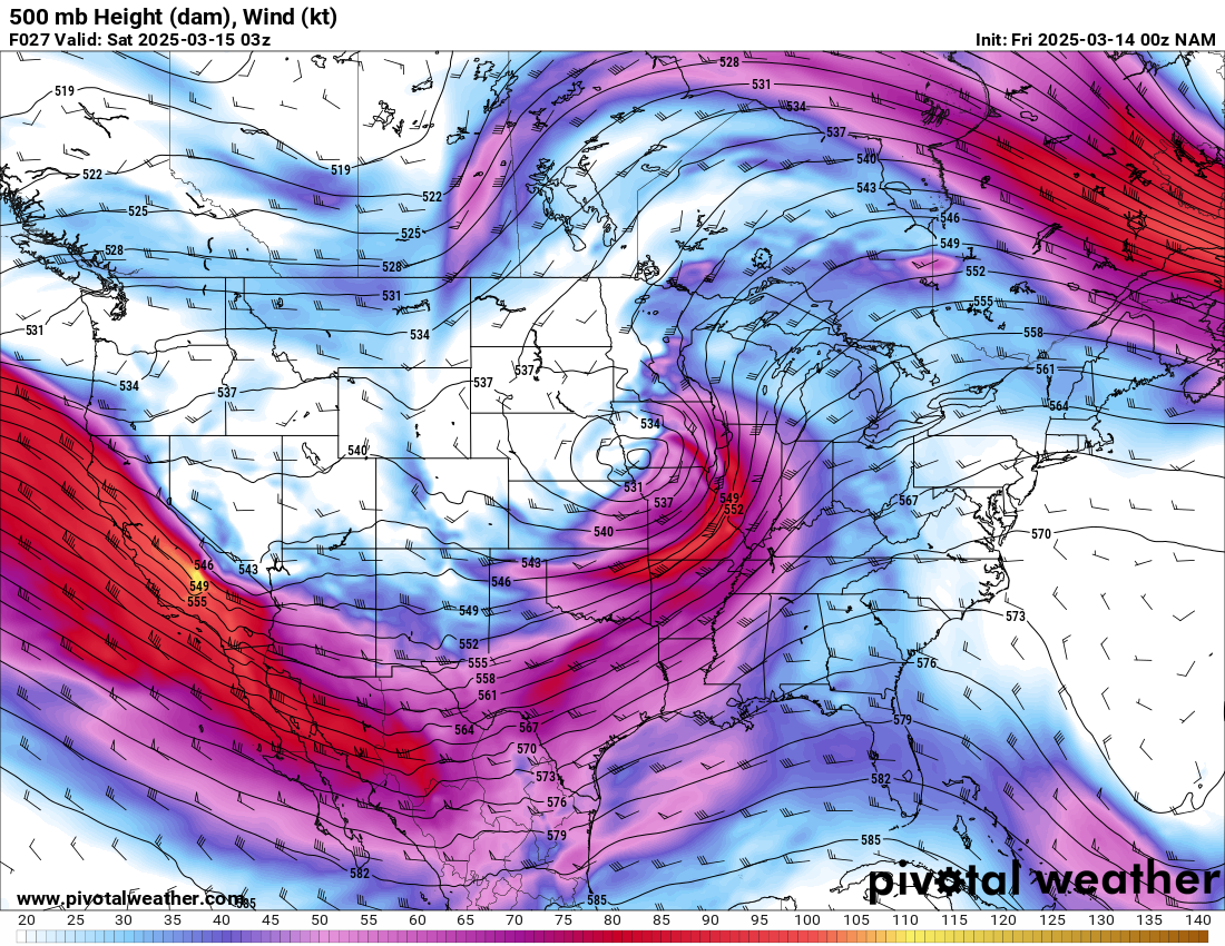
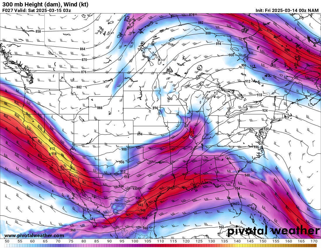
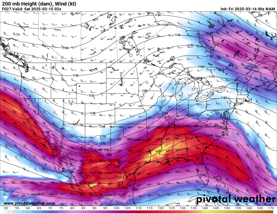
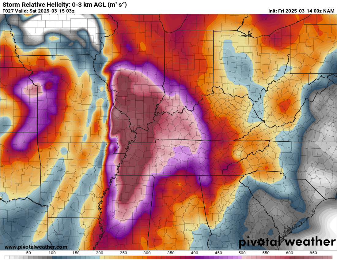
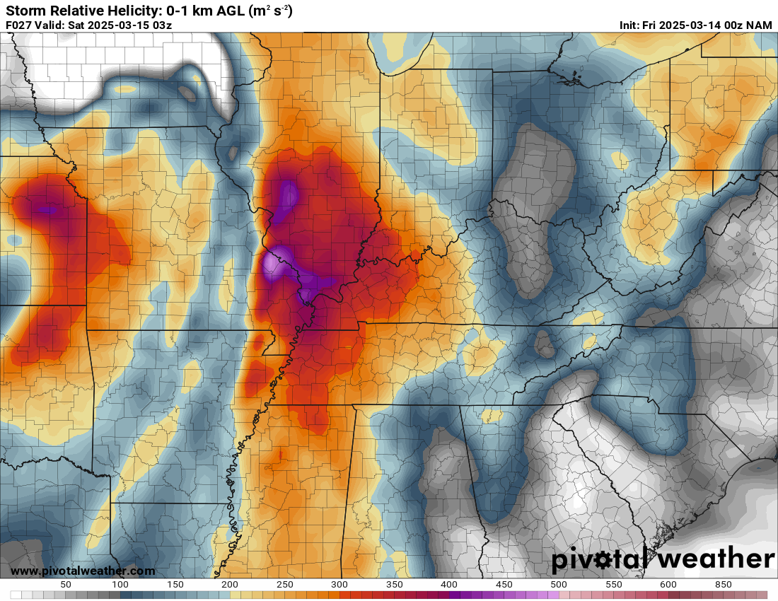
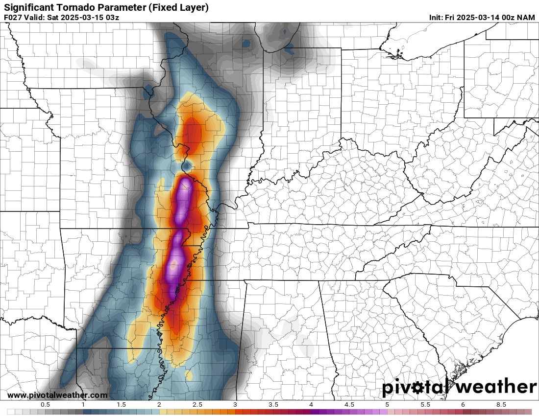
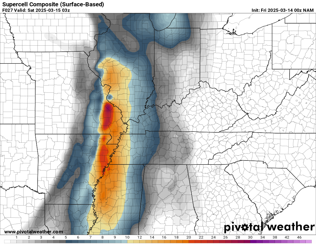
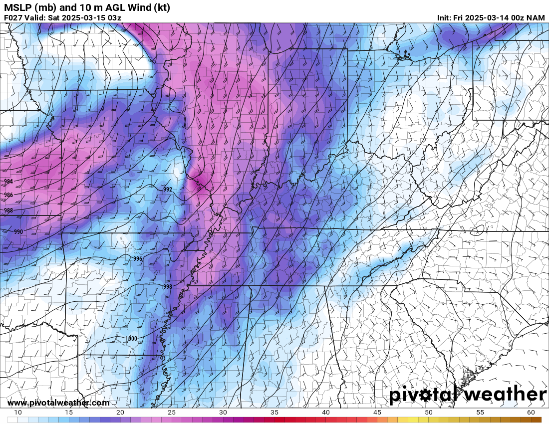
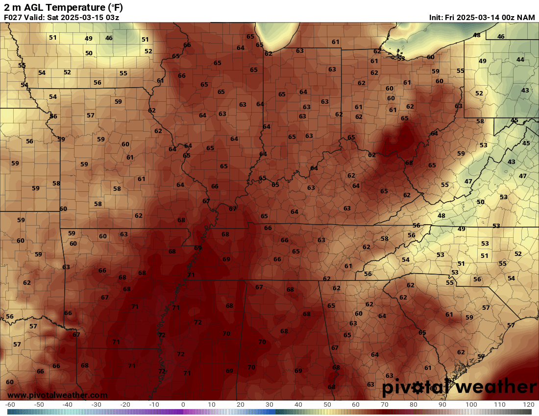
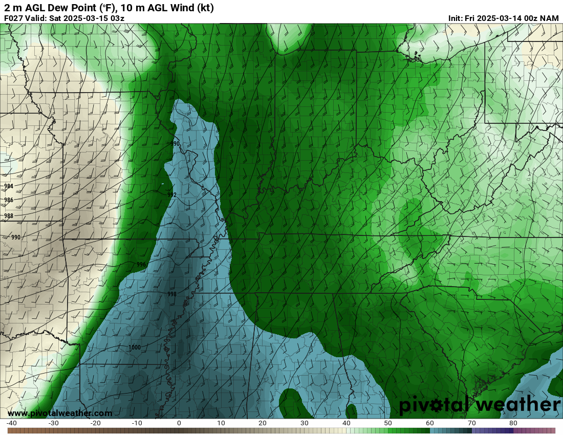
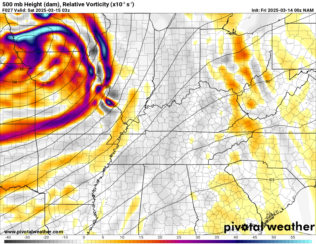
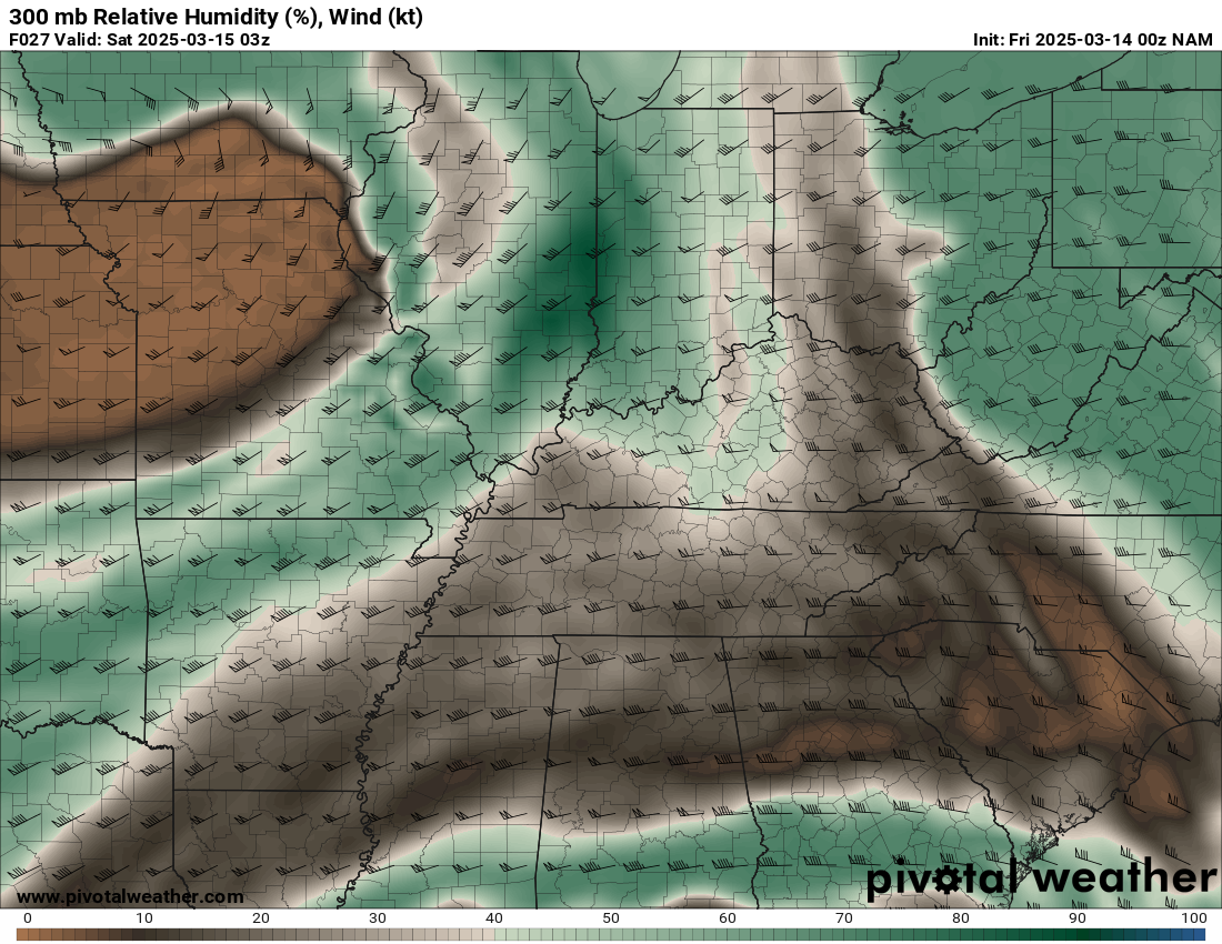
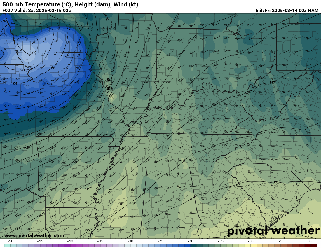
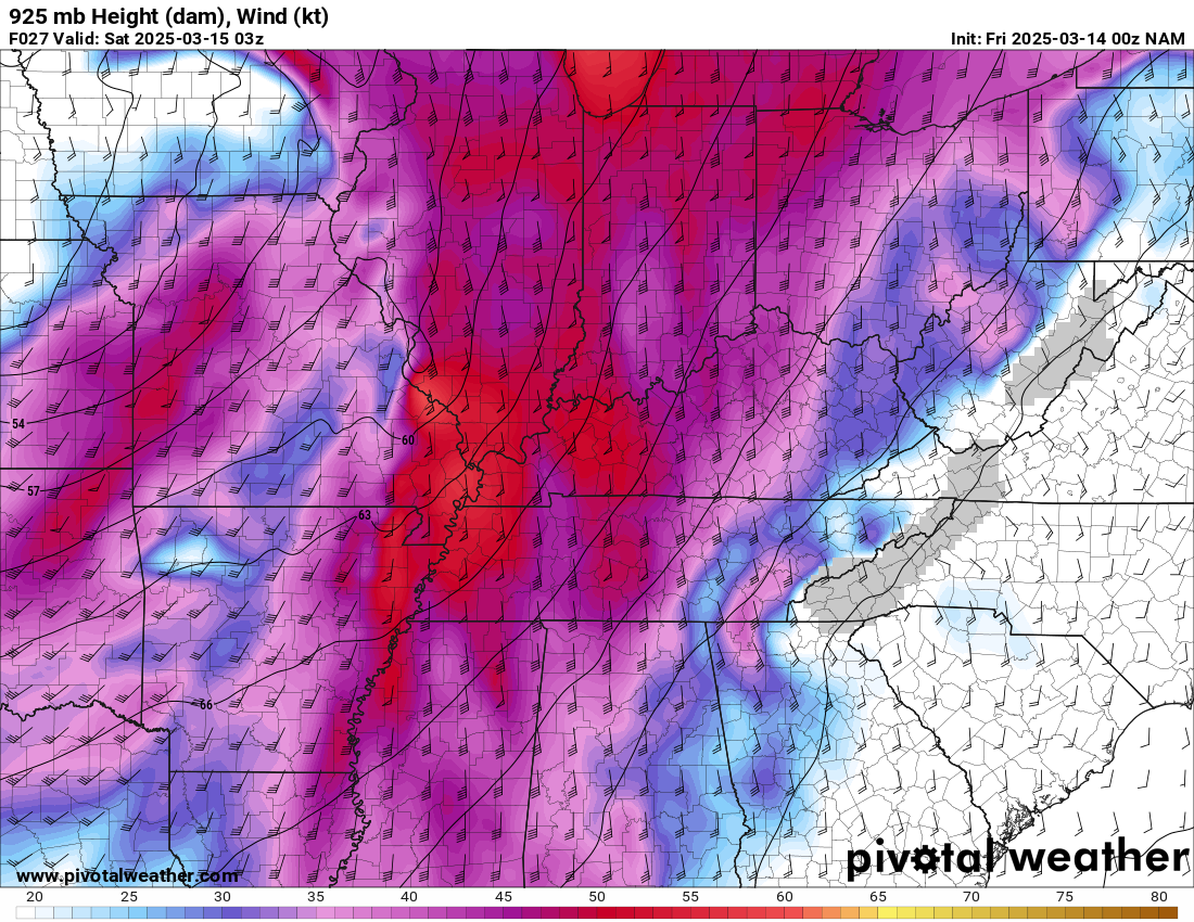
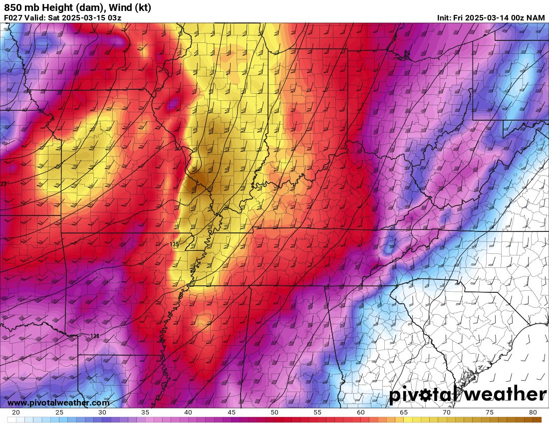
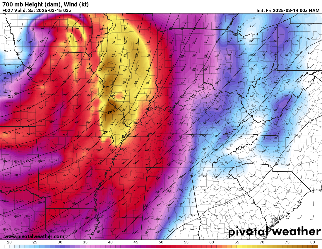
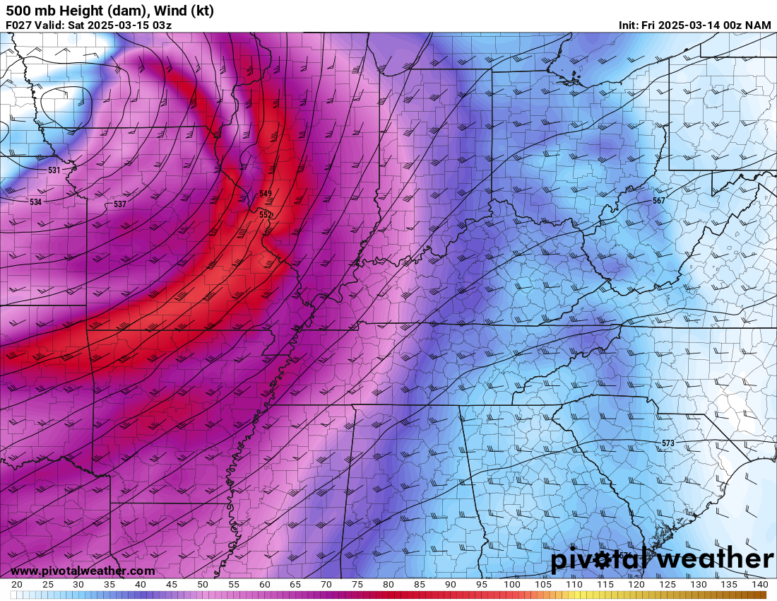
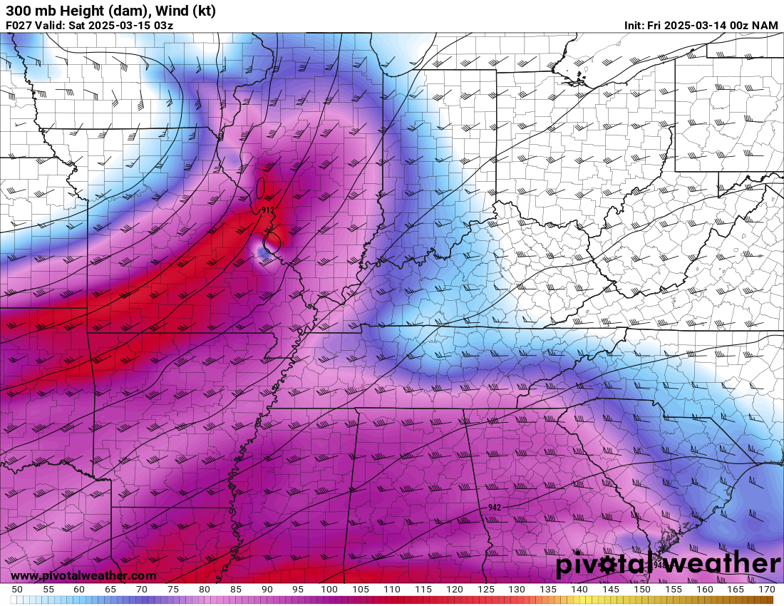
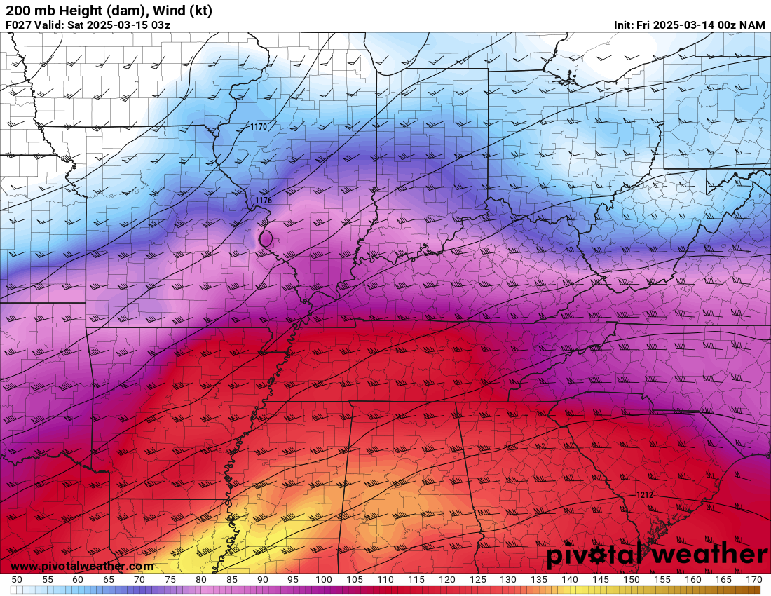
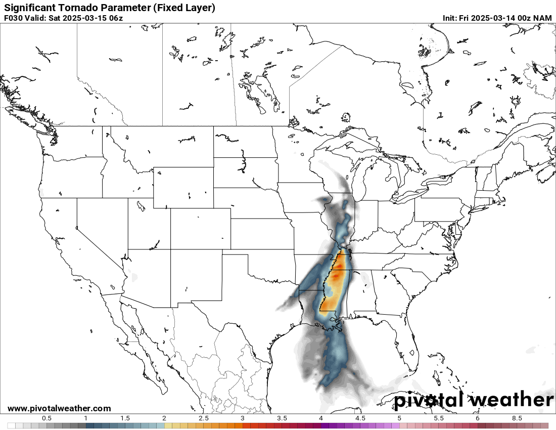
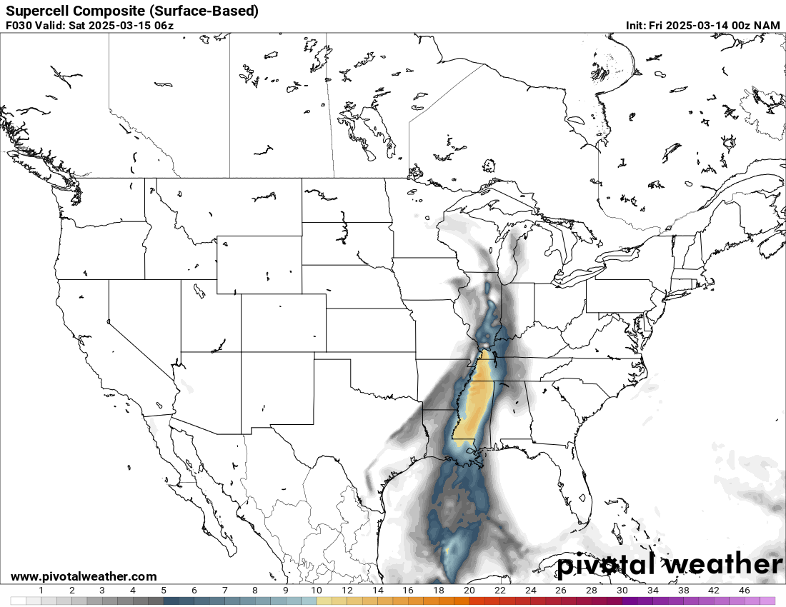
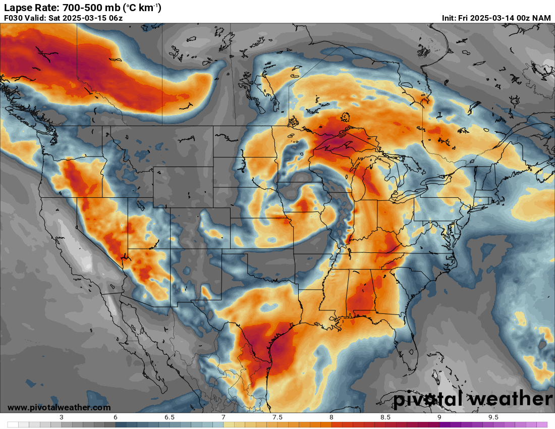
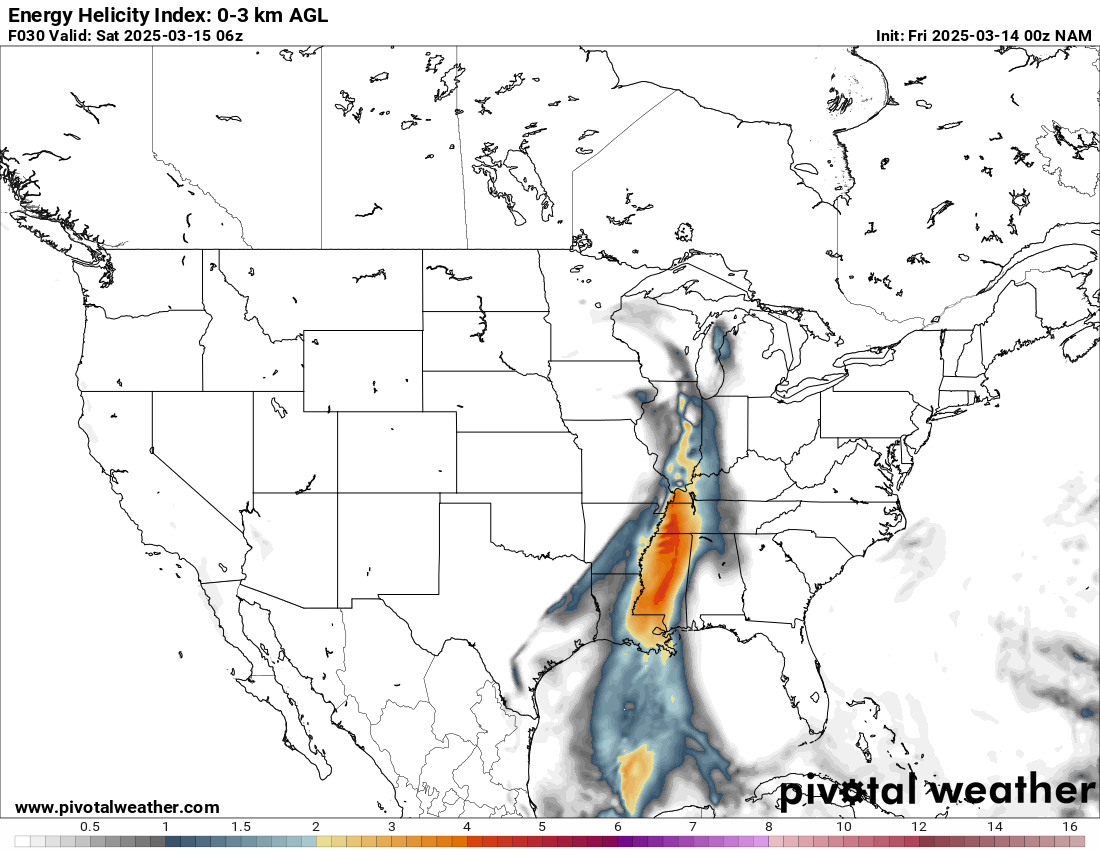
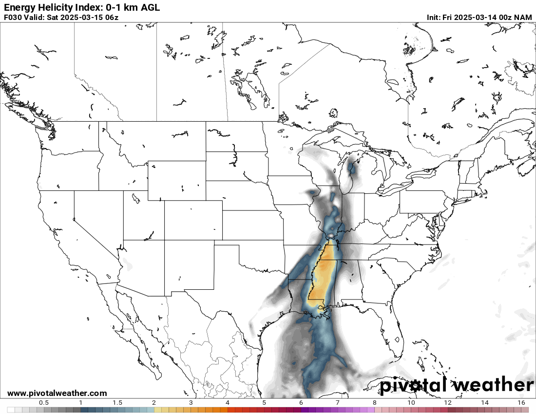
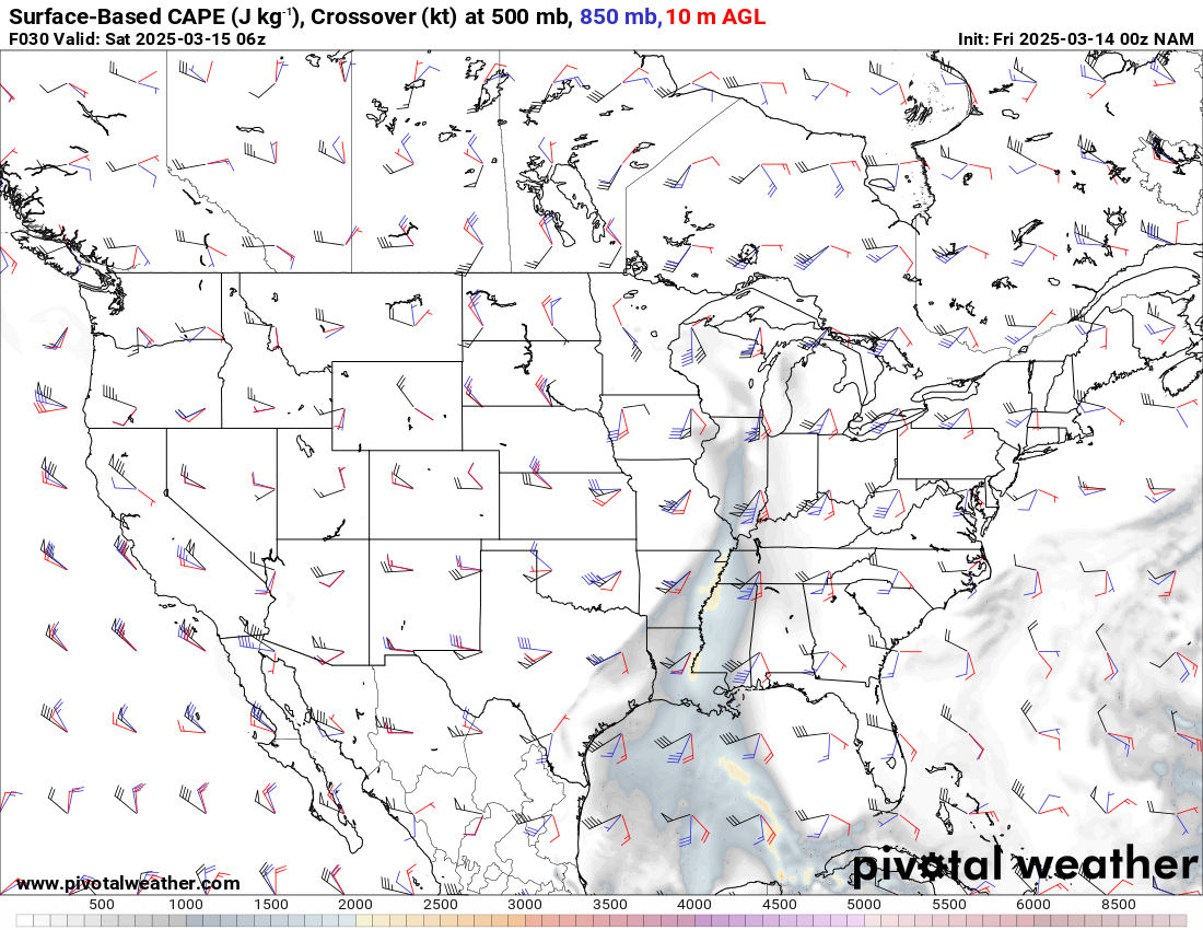
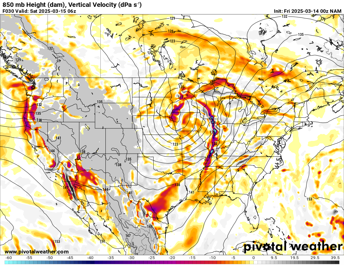
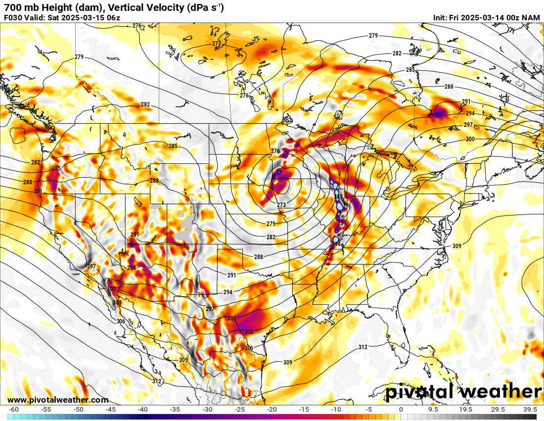
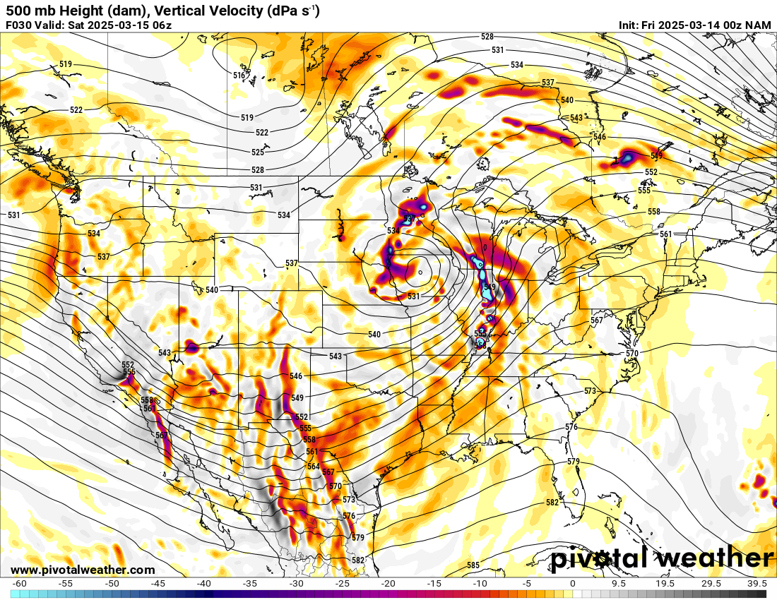
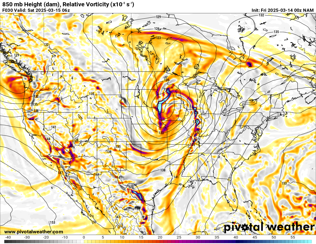
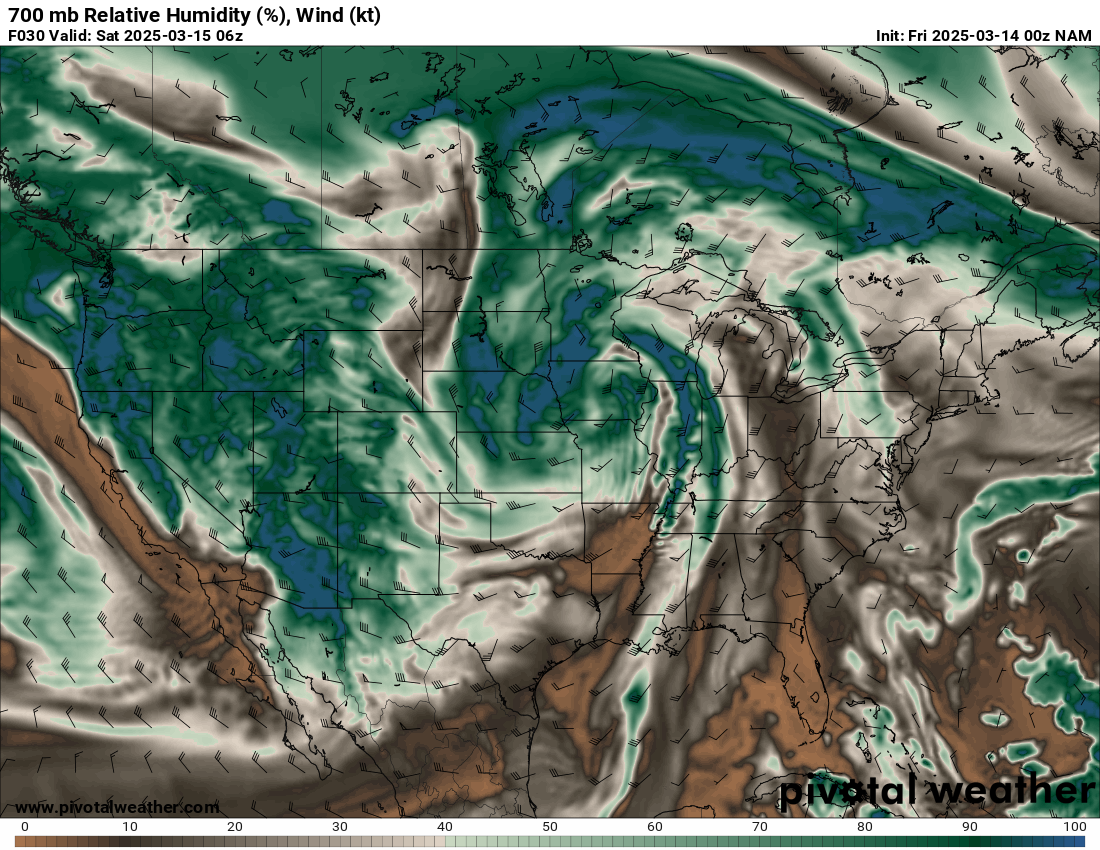
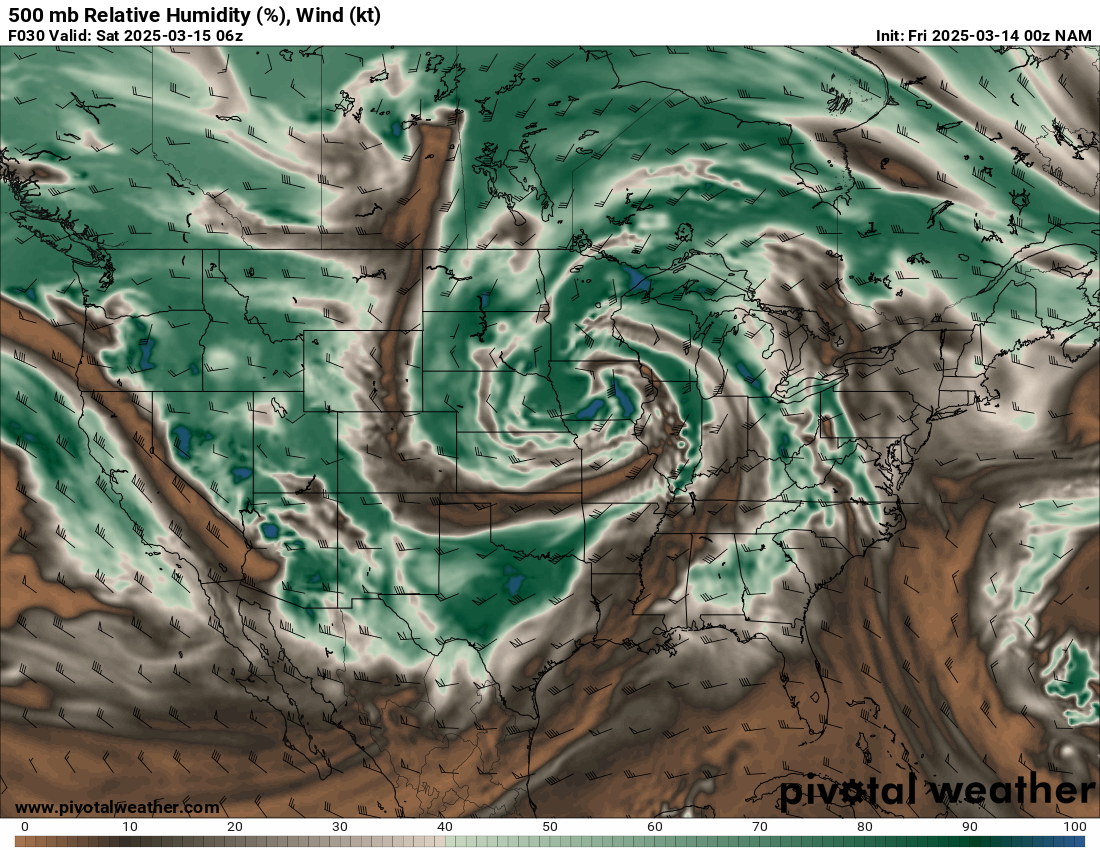
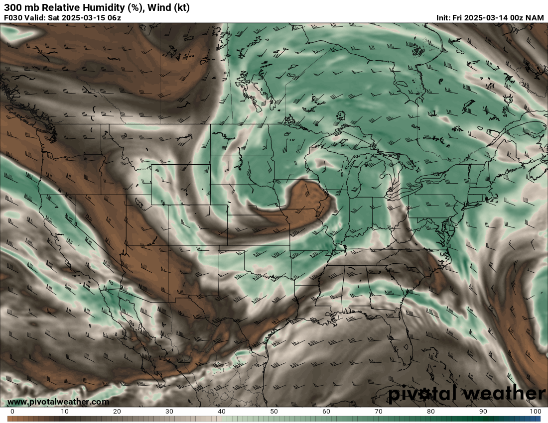
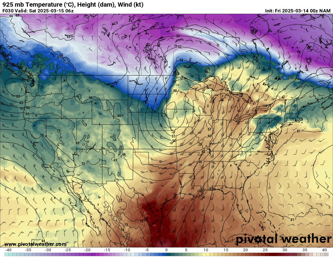
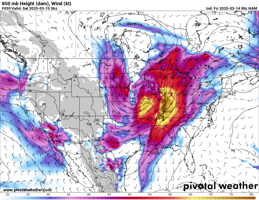
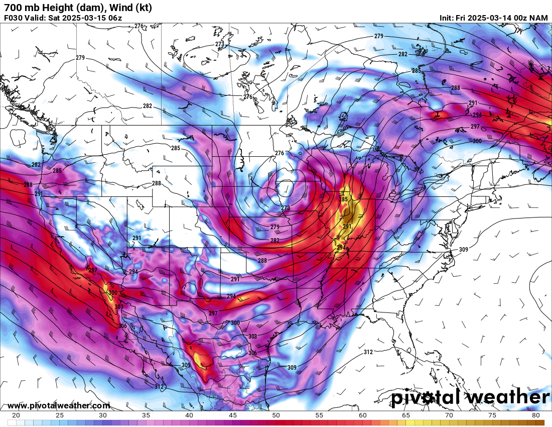
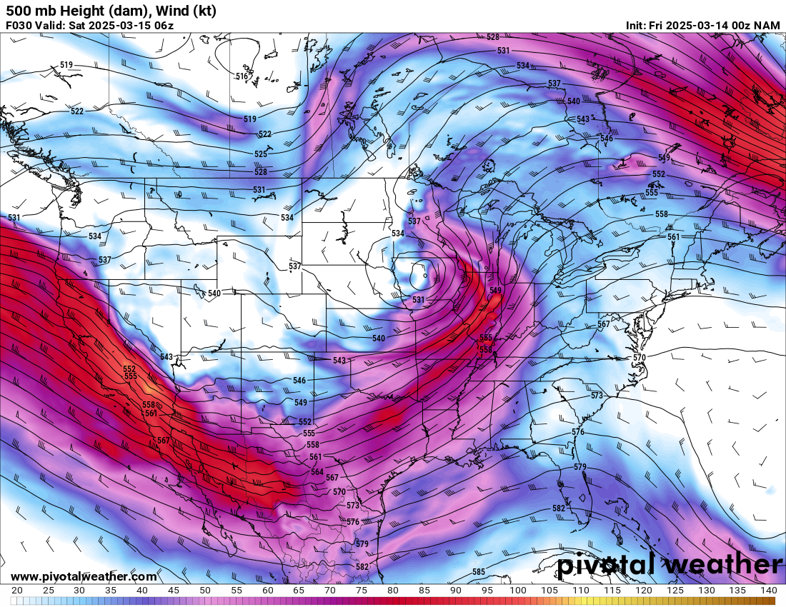
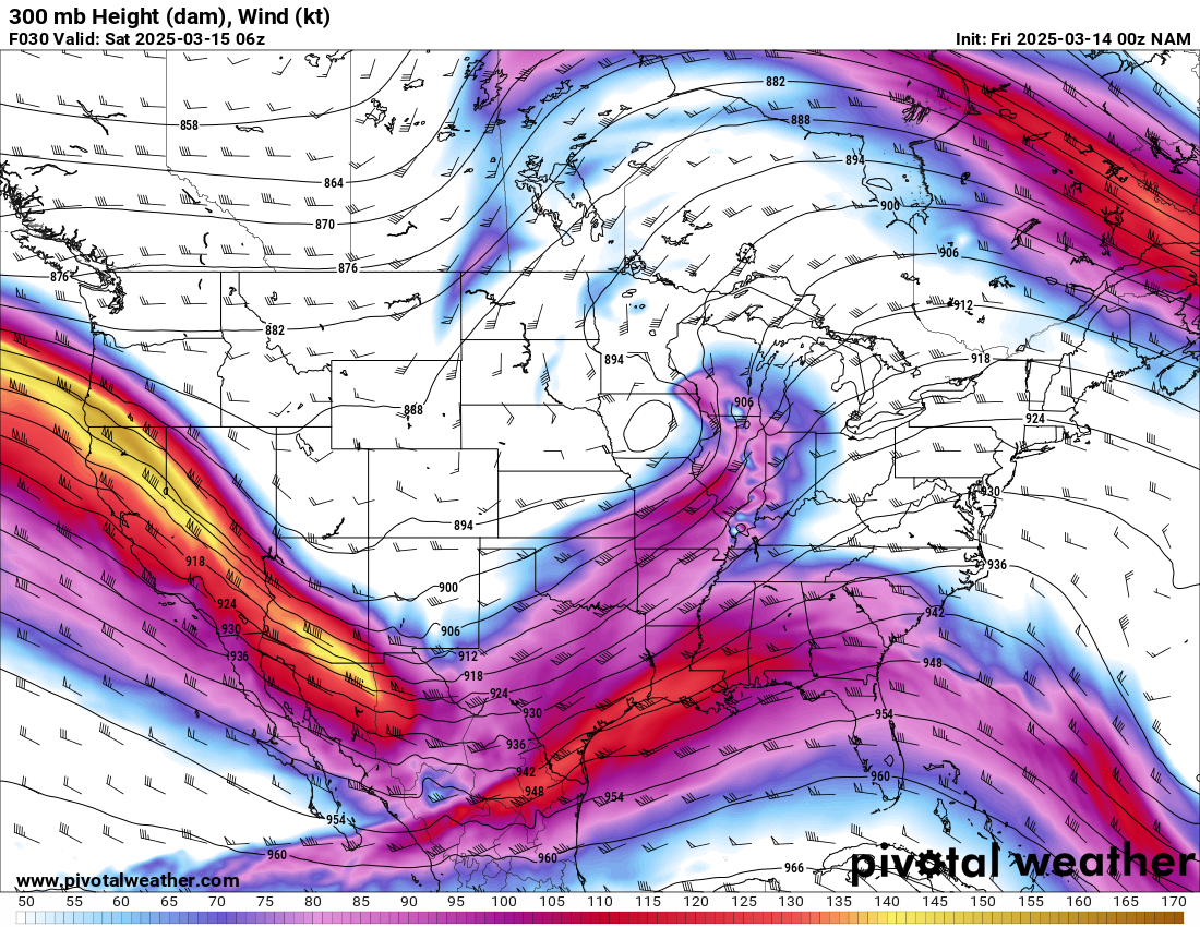
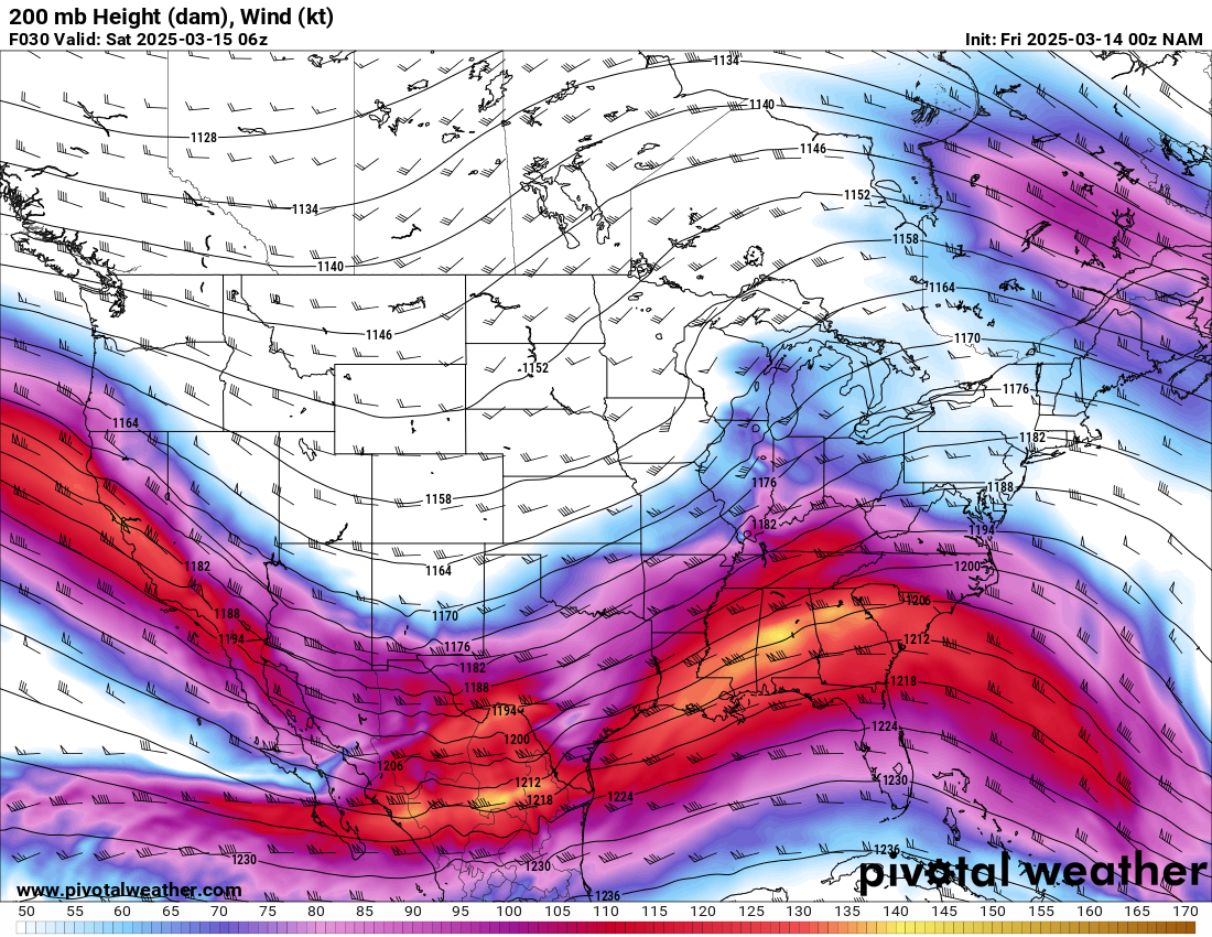
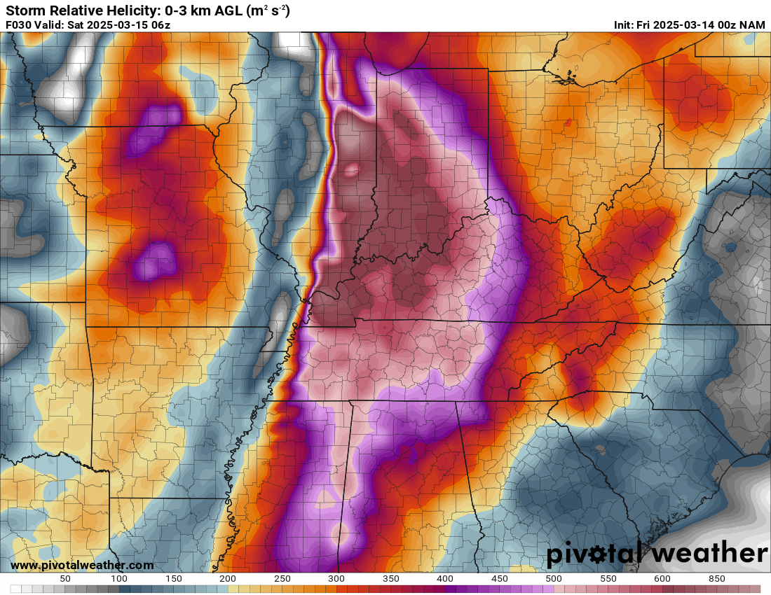
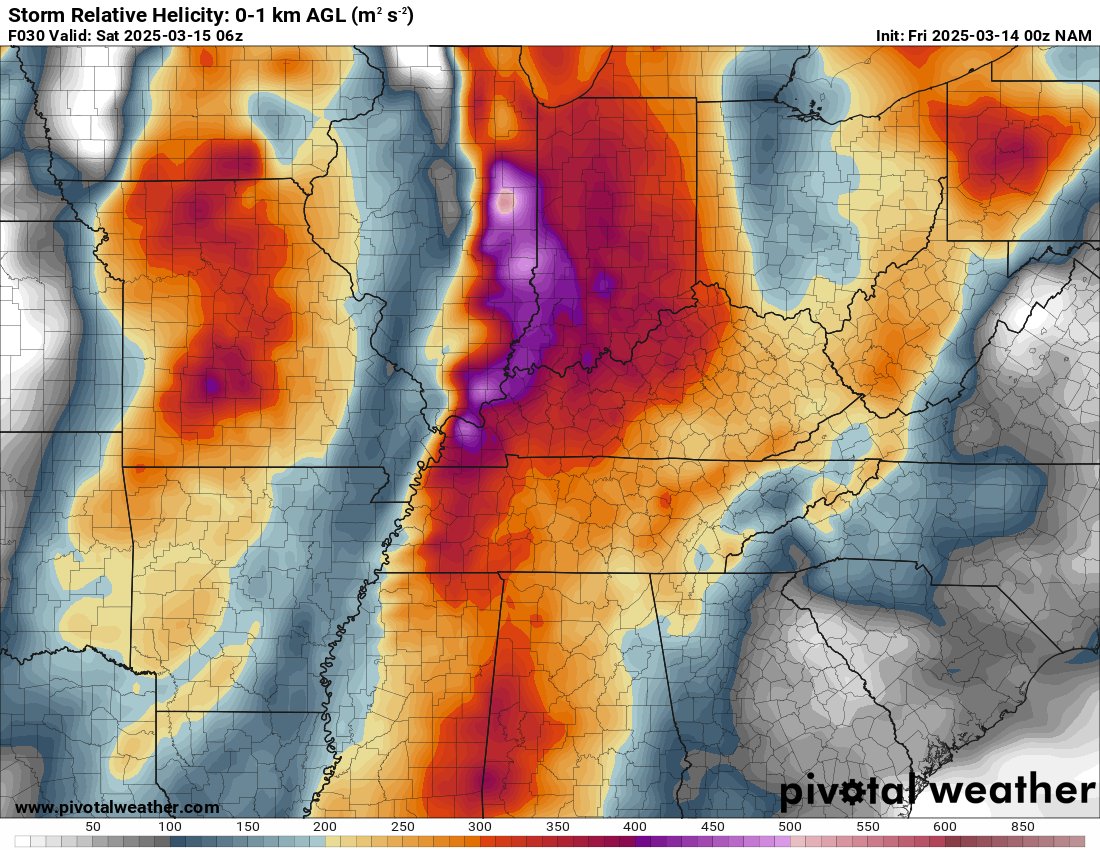
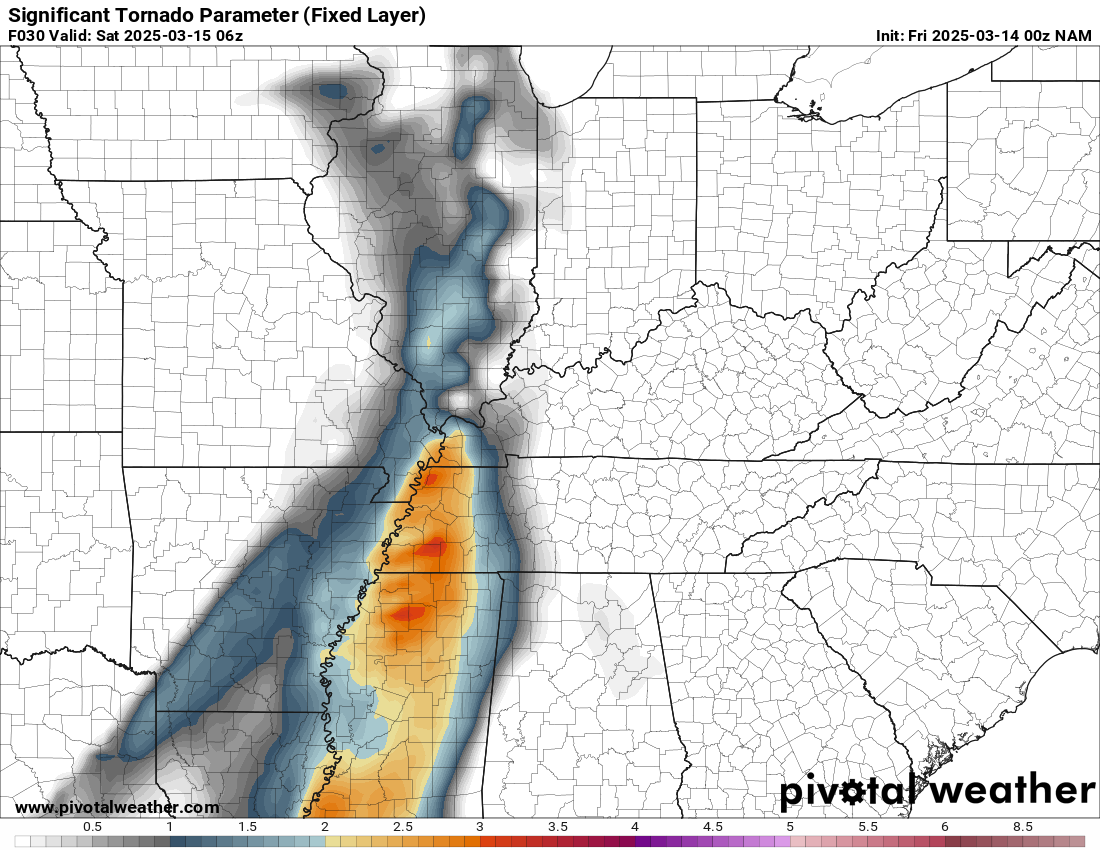
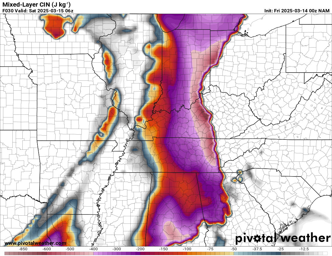
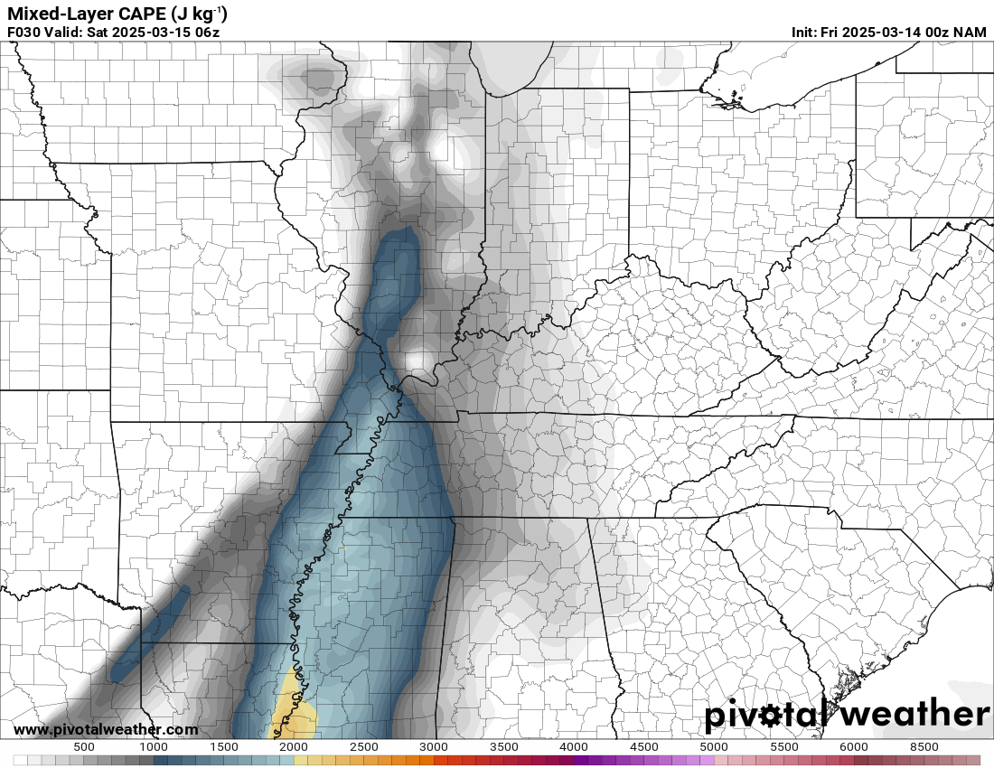
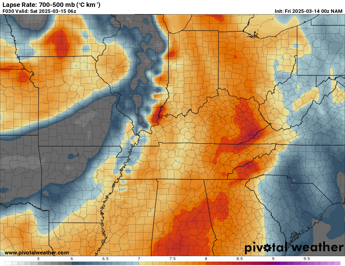
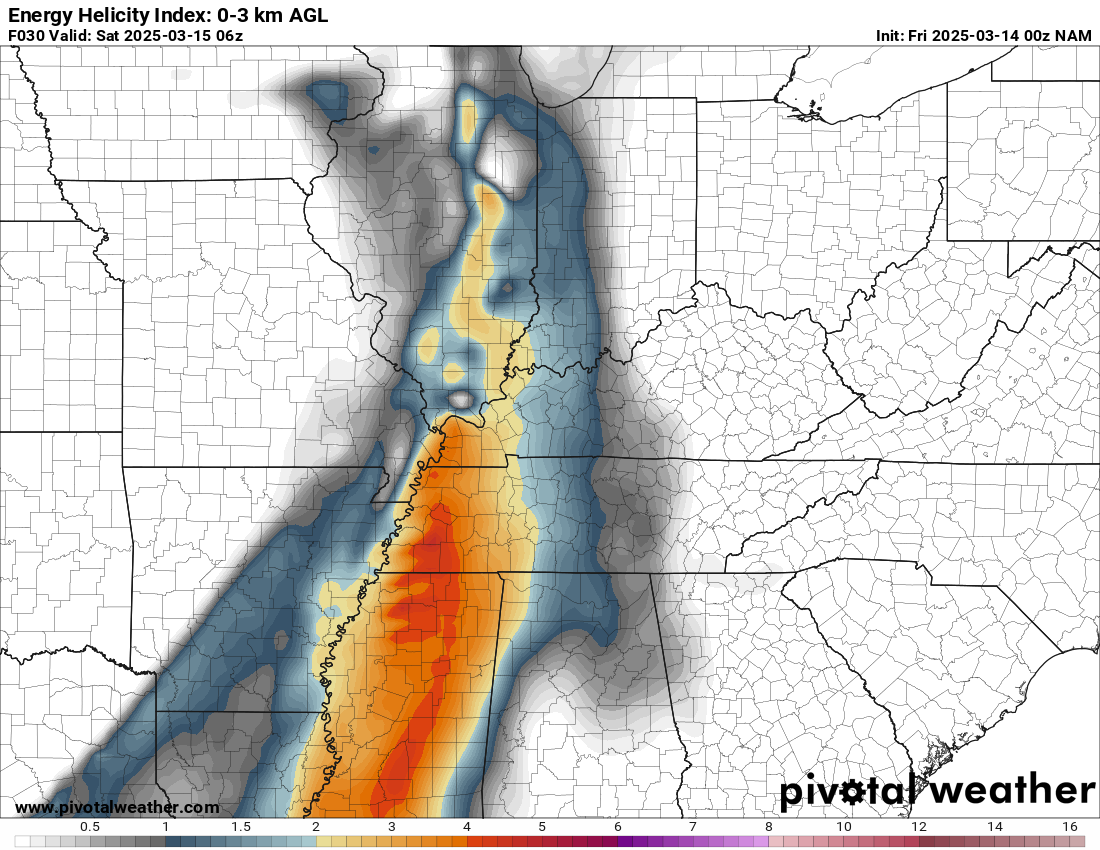
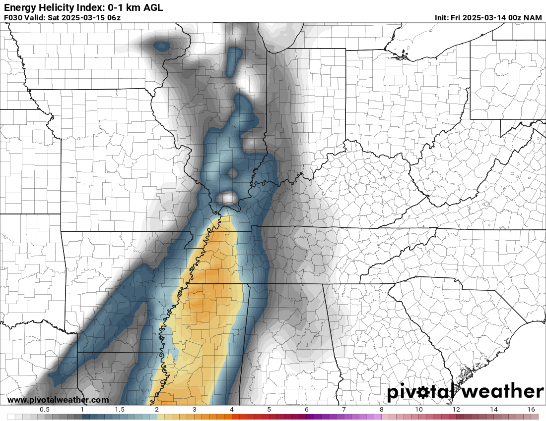
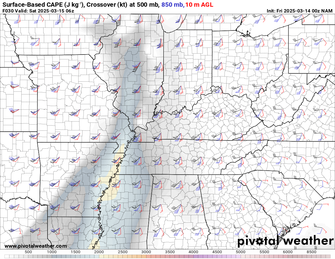
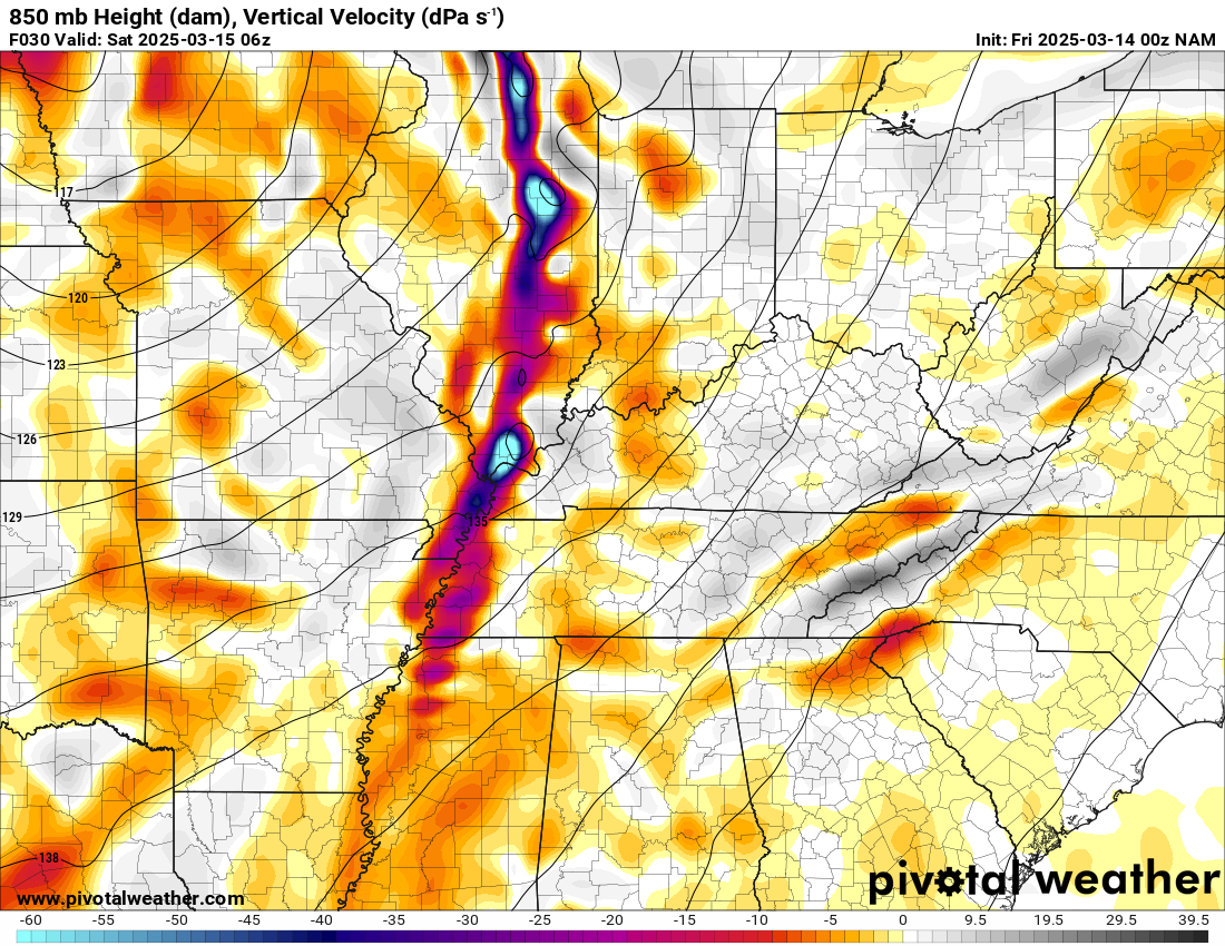
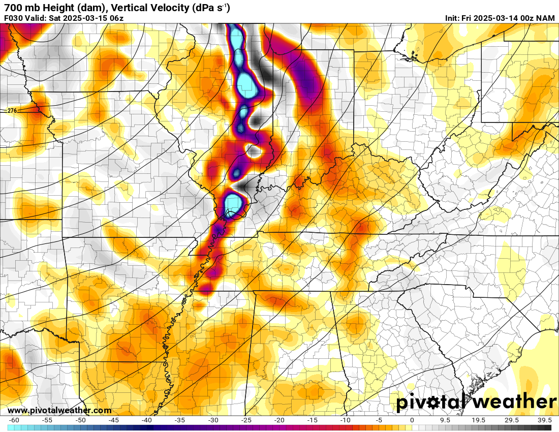
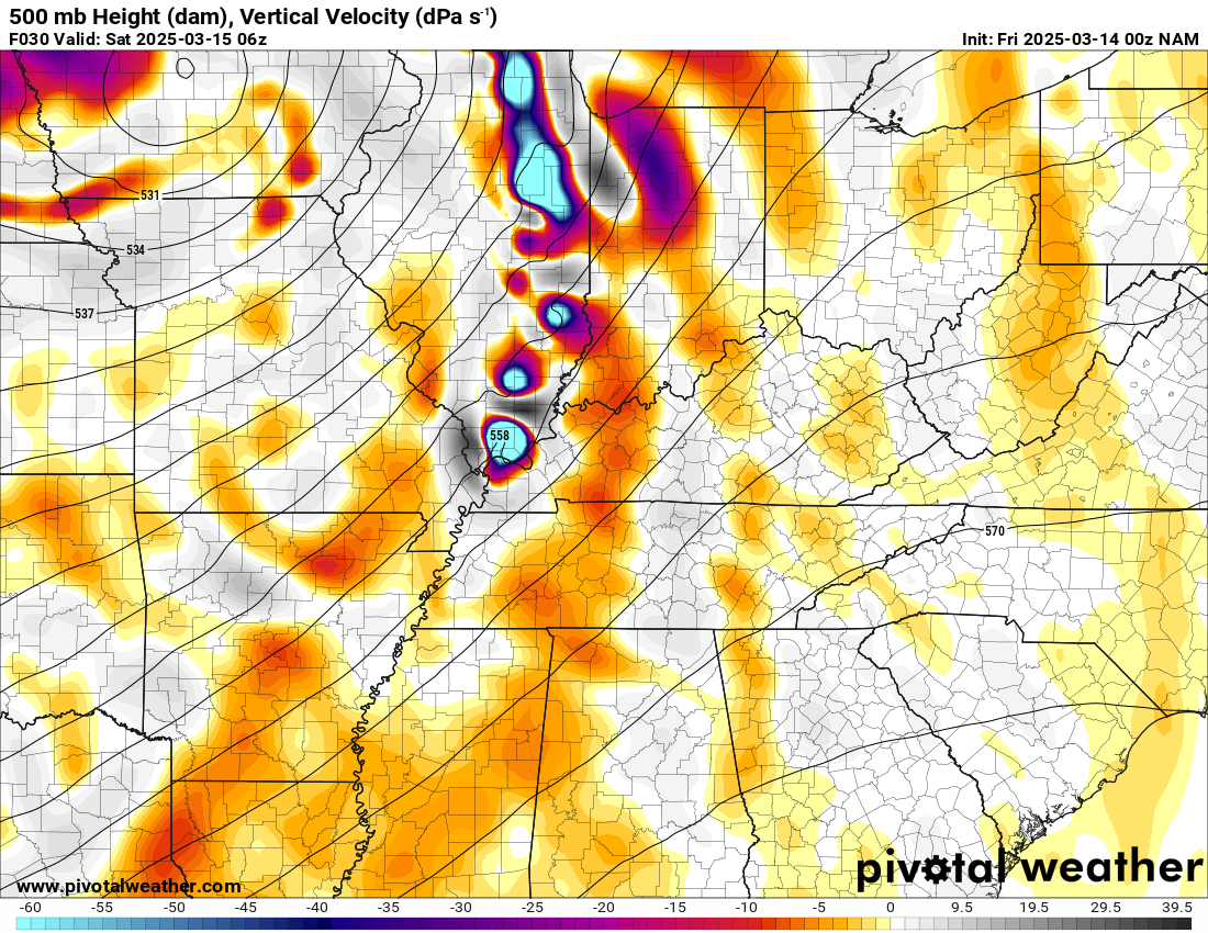
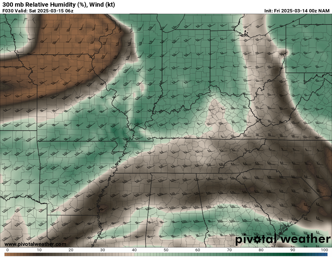
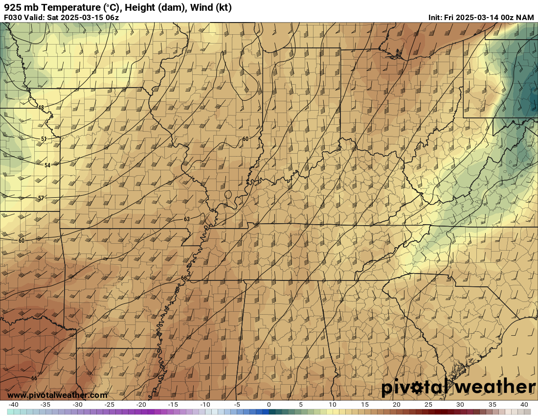
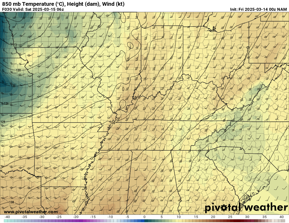
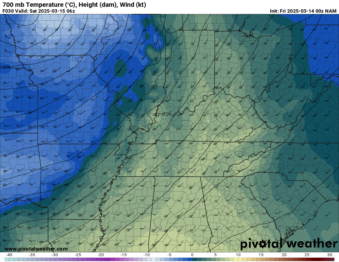
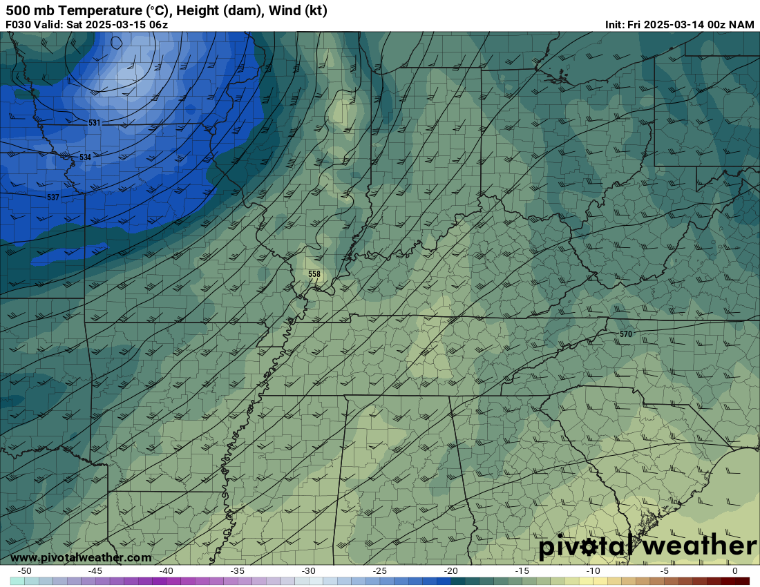
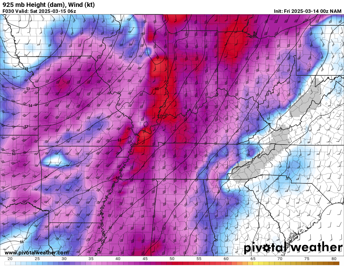
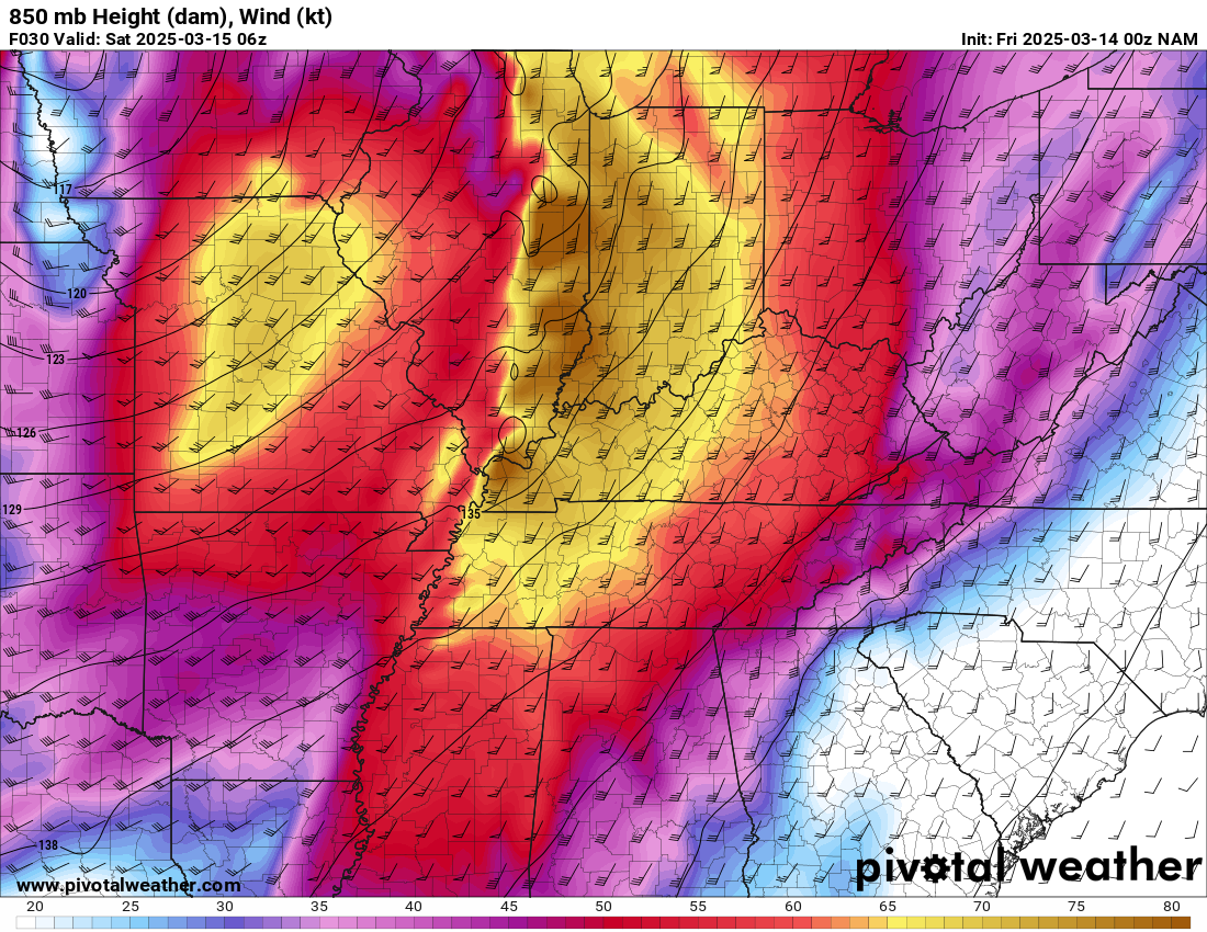
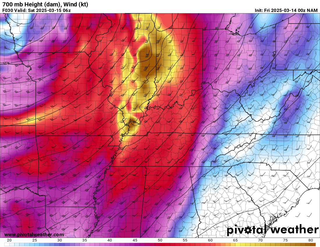
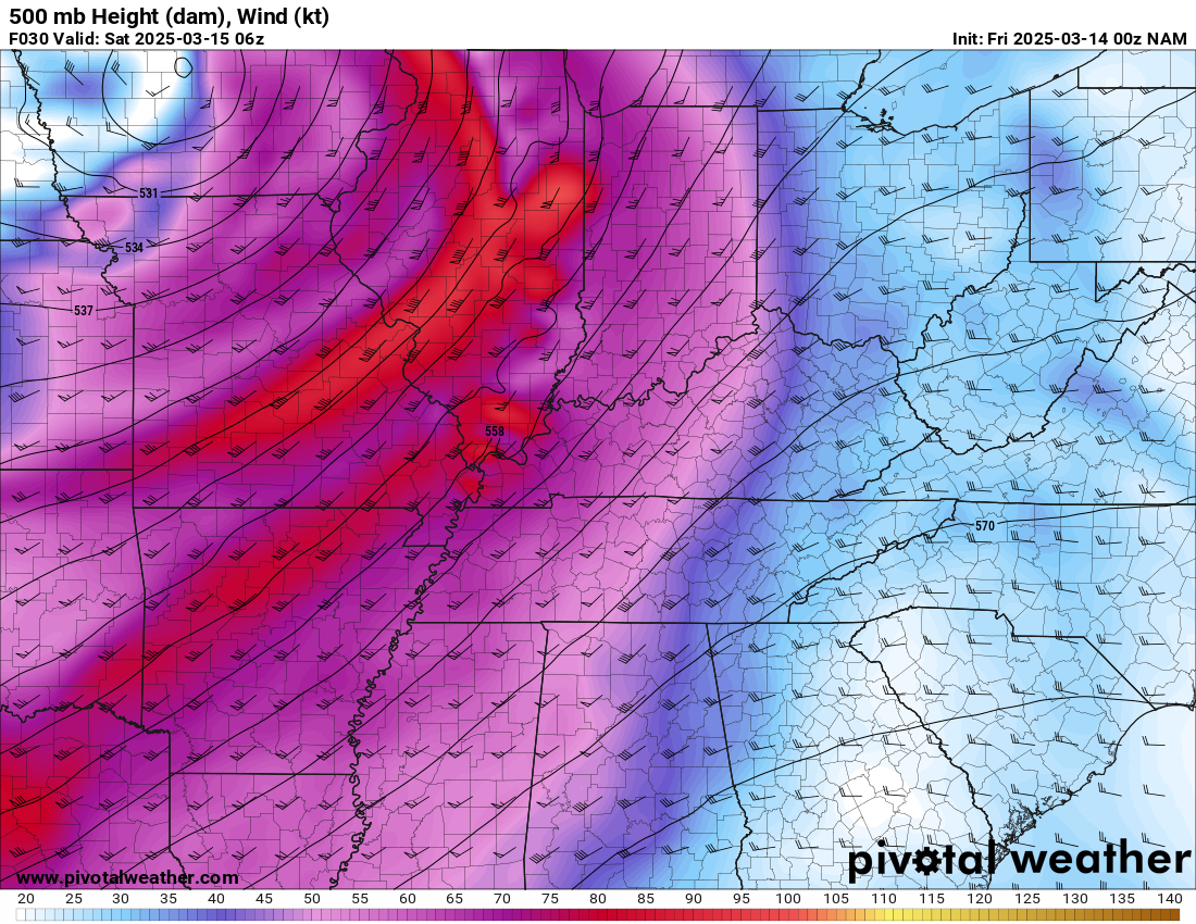
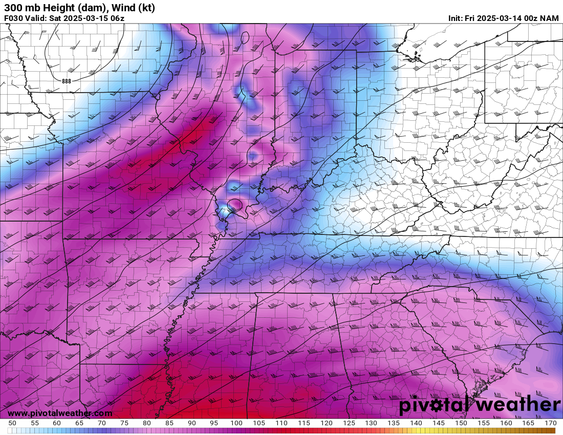
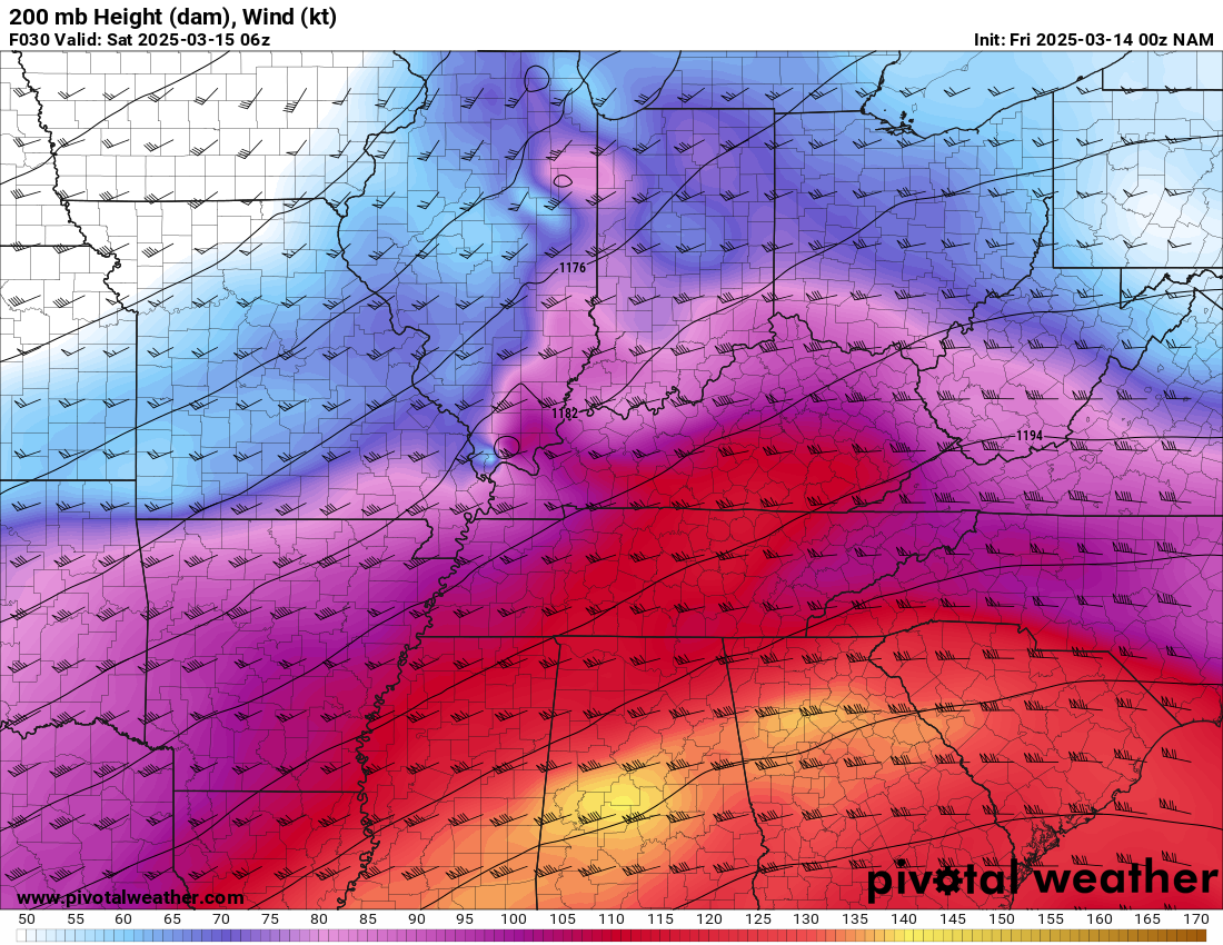
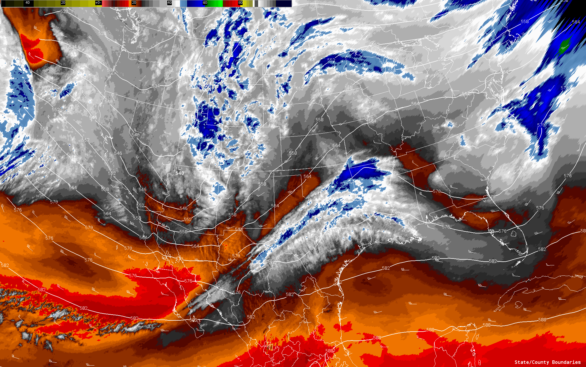
A synoptically evident setup from a week and a half out. This day would live up to expectations, providing some violent tornadoes across the Northeast Arkansas region.
Forecast
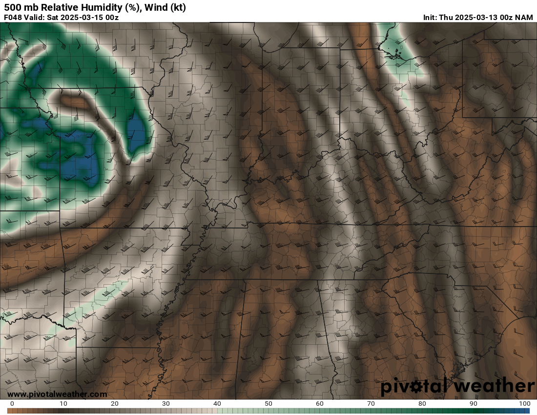
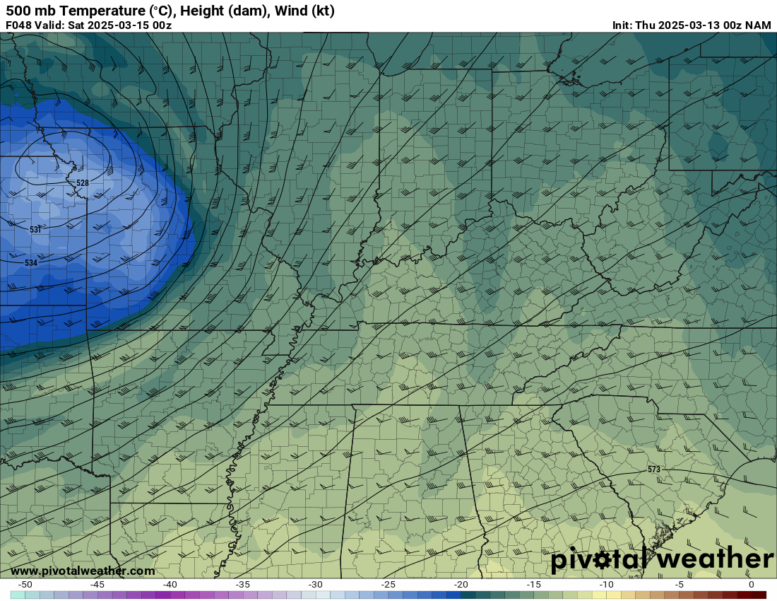
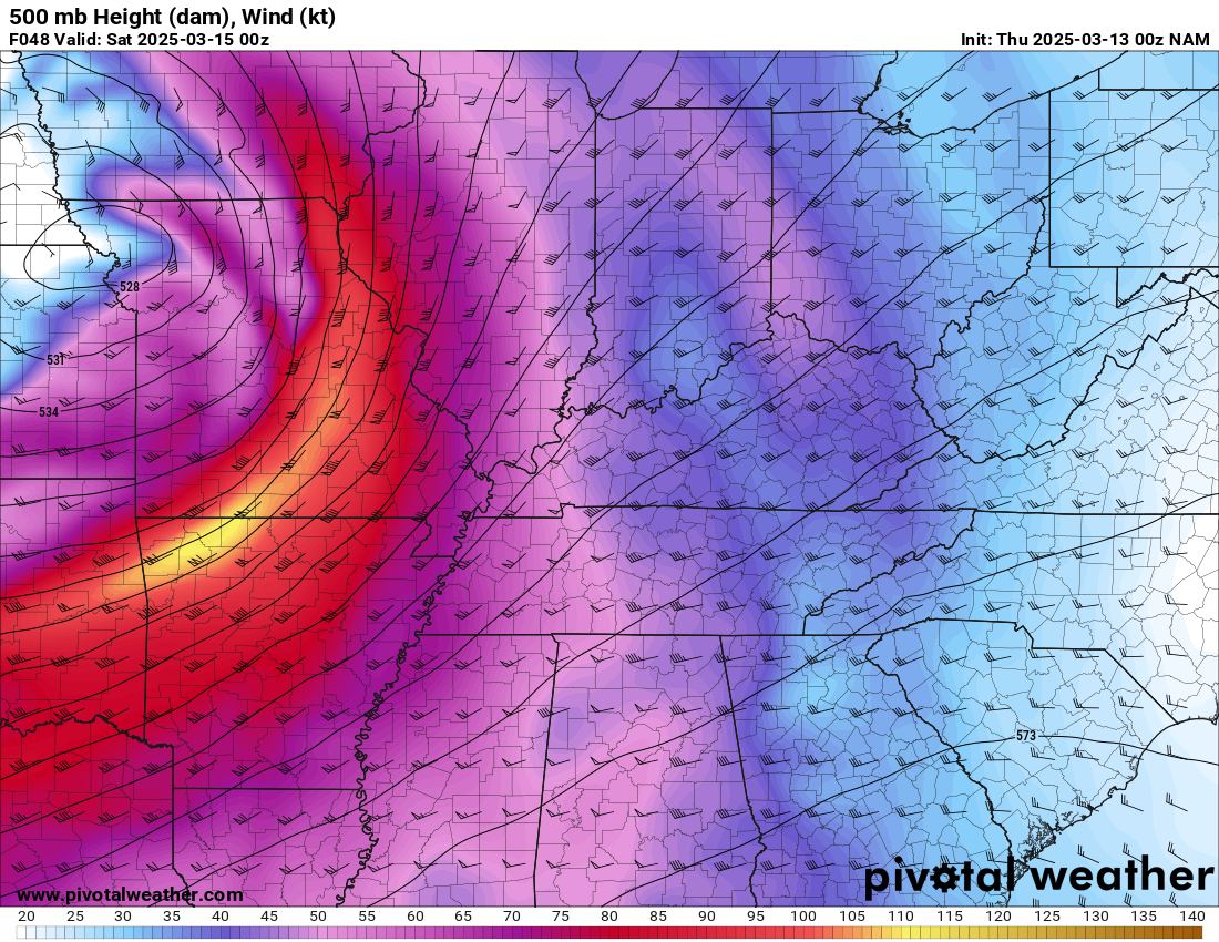
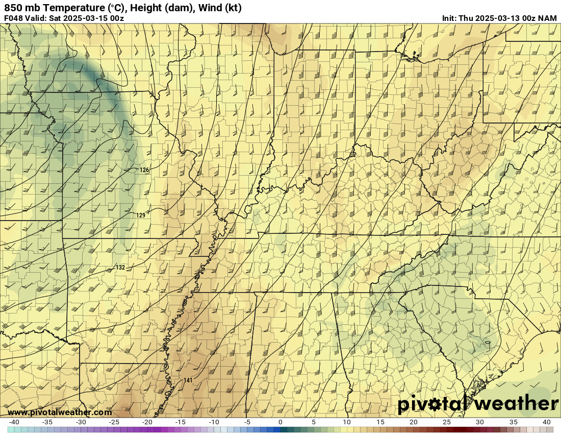
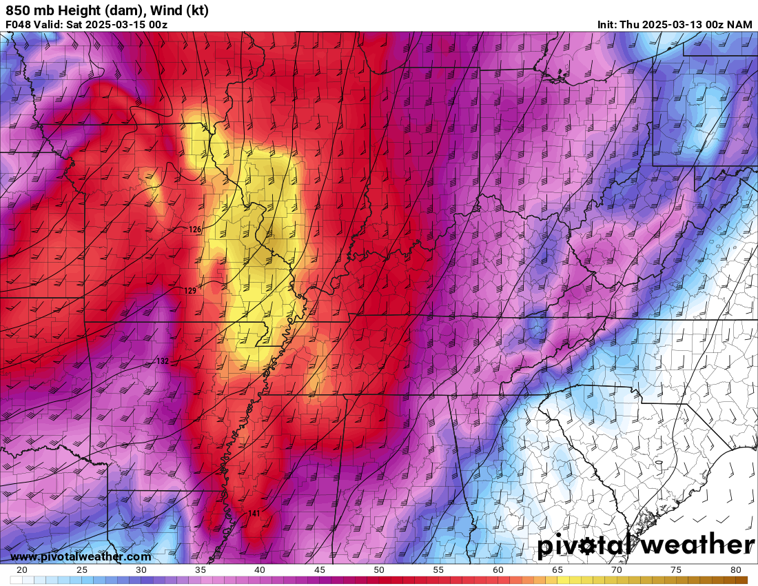
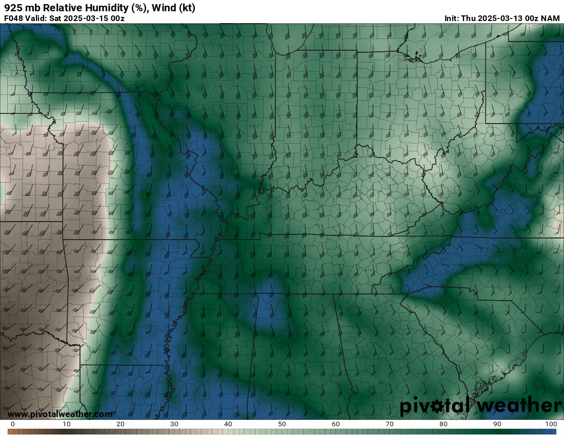
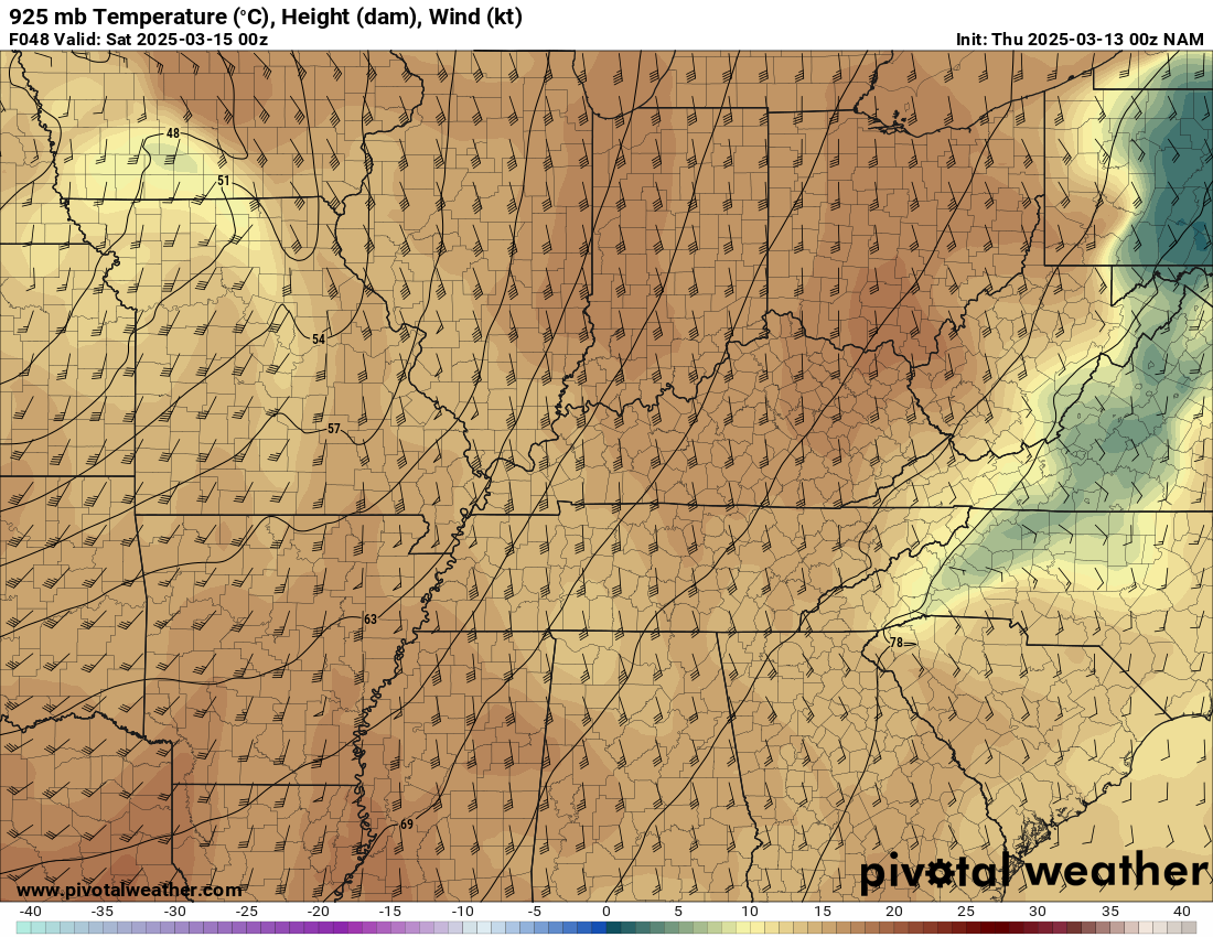
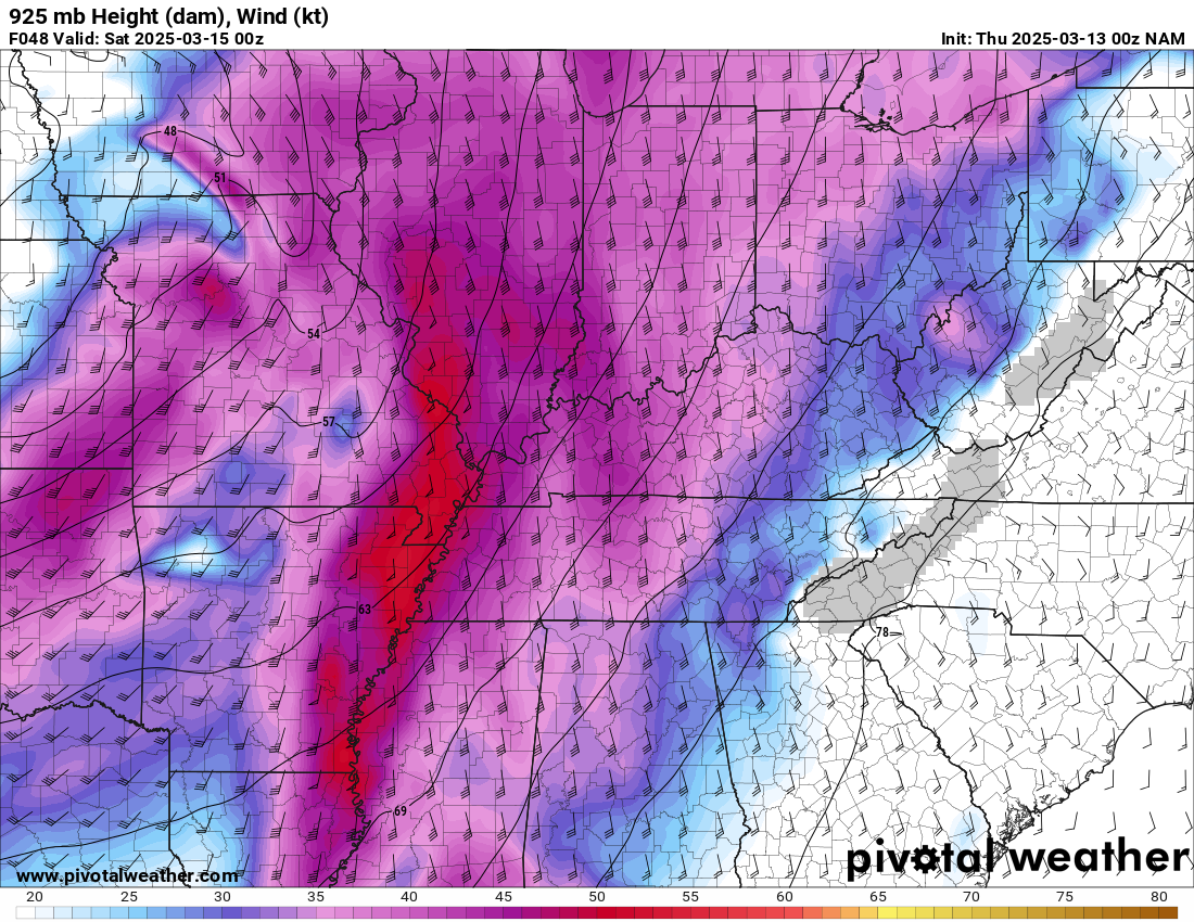
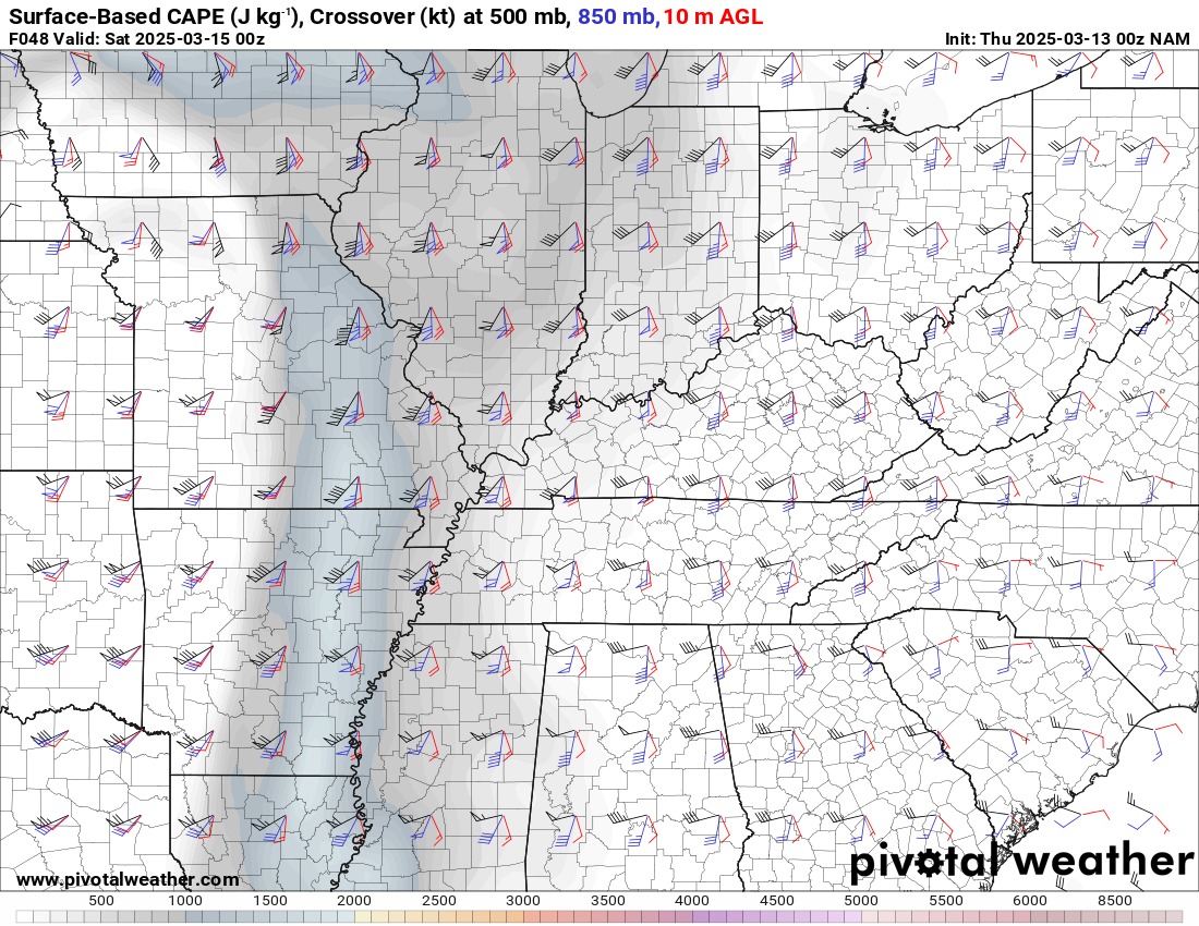
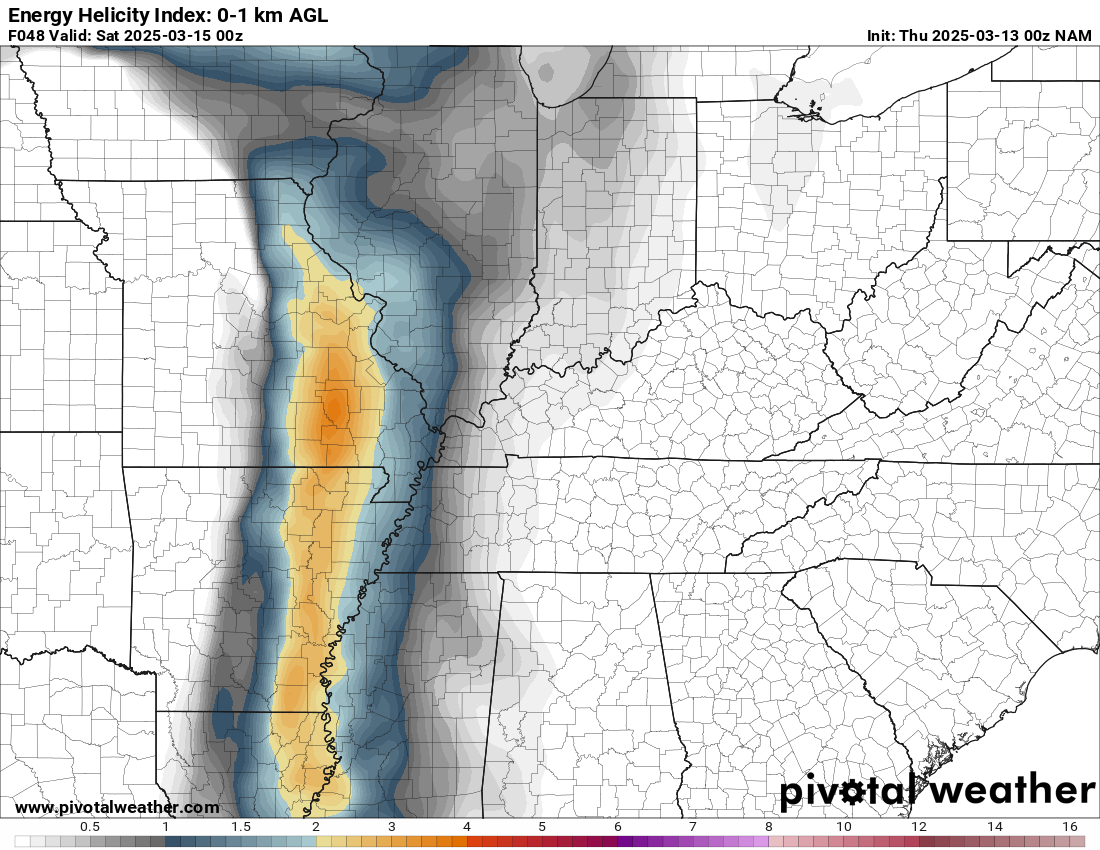
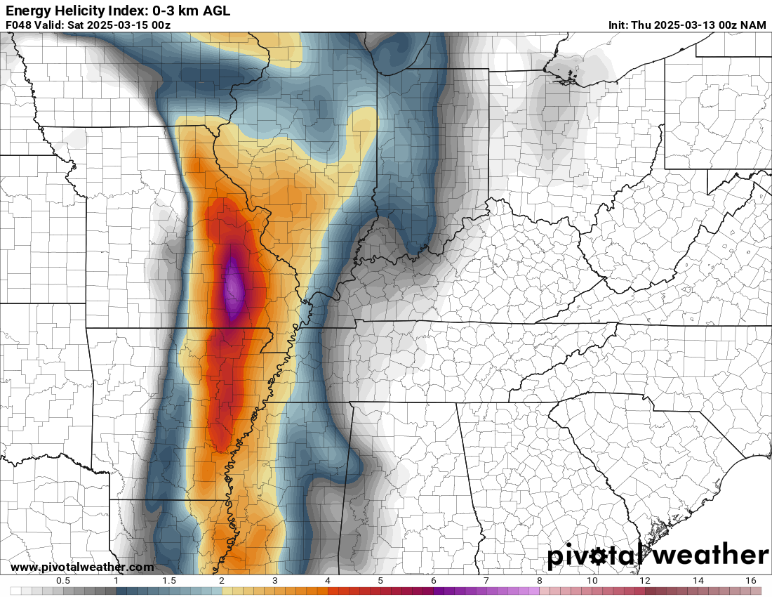
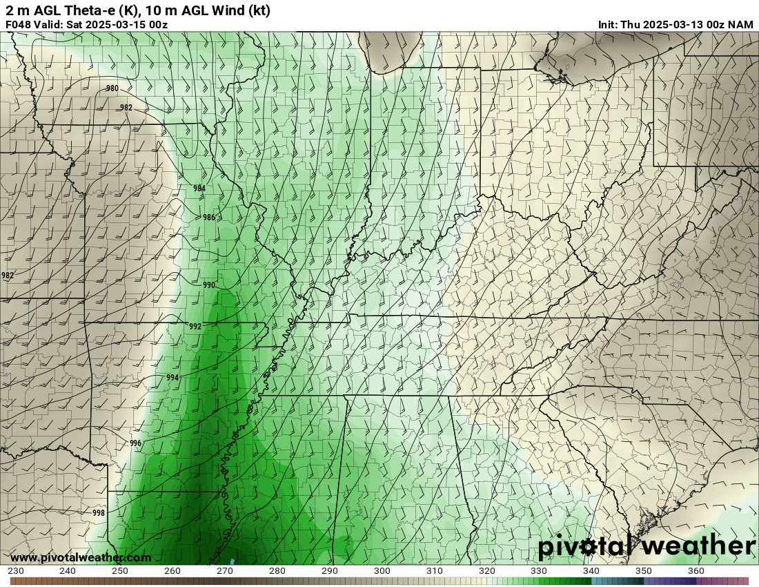
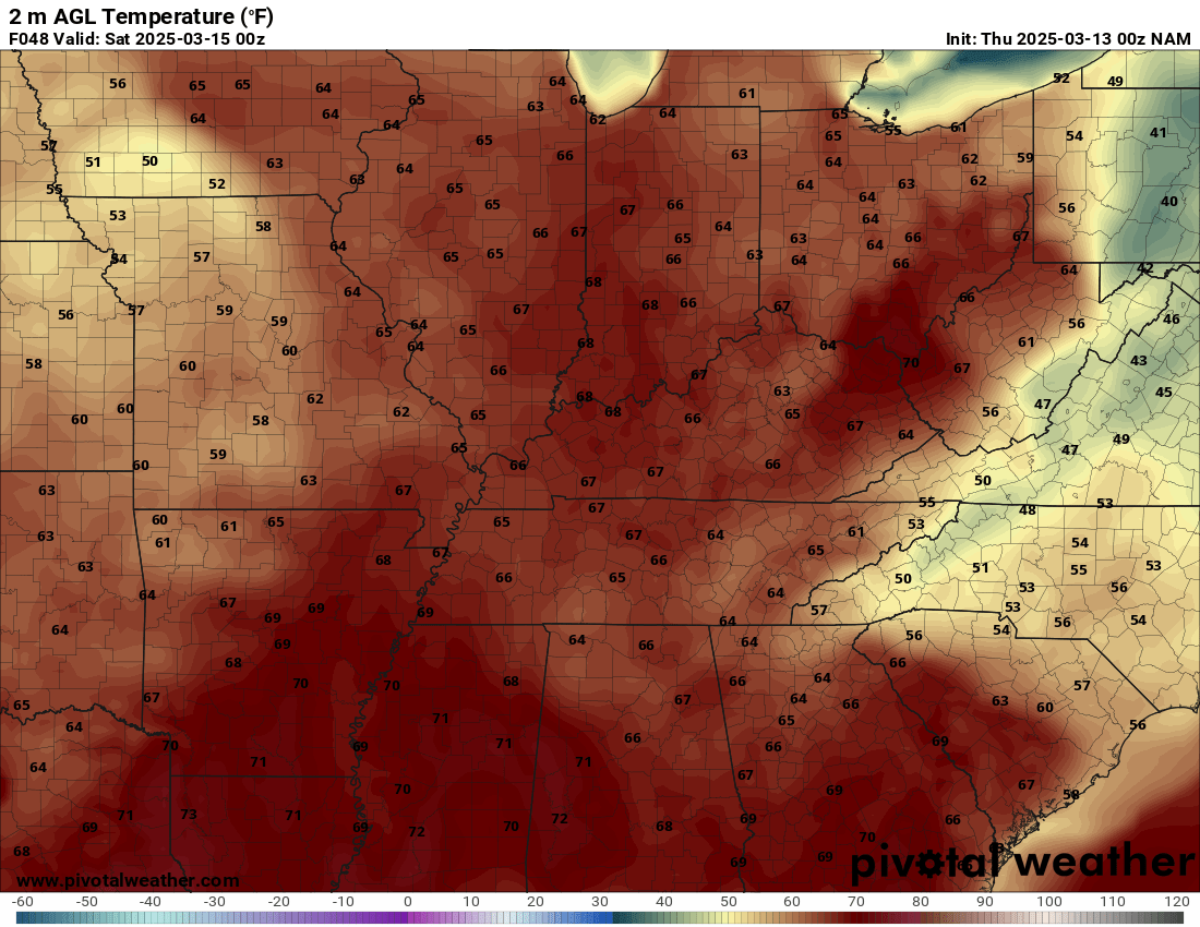
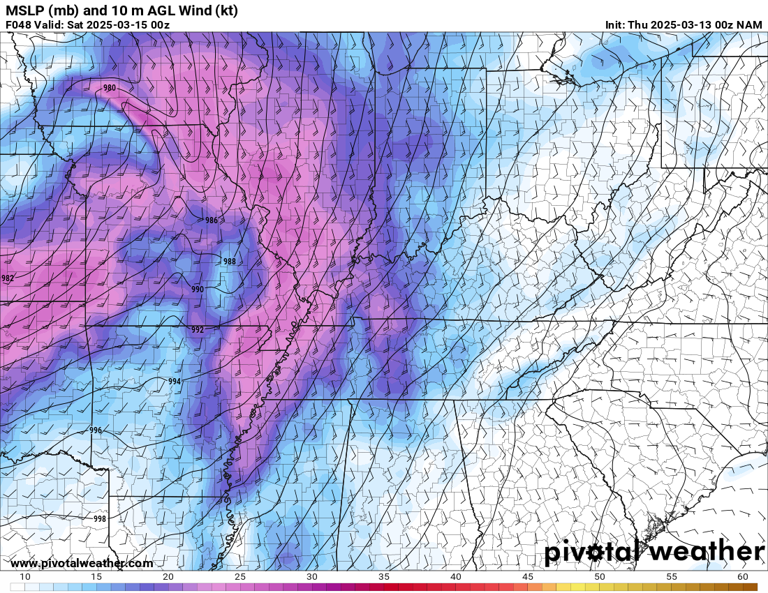
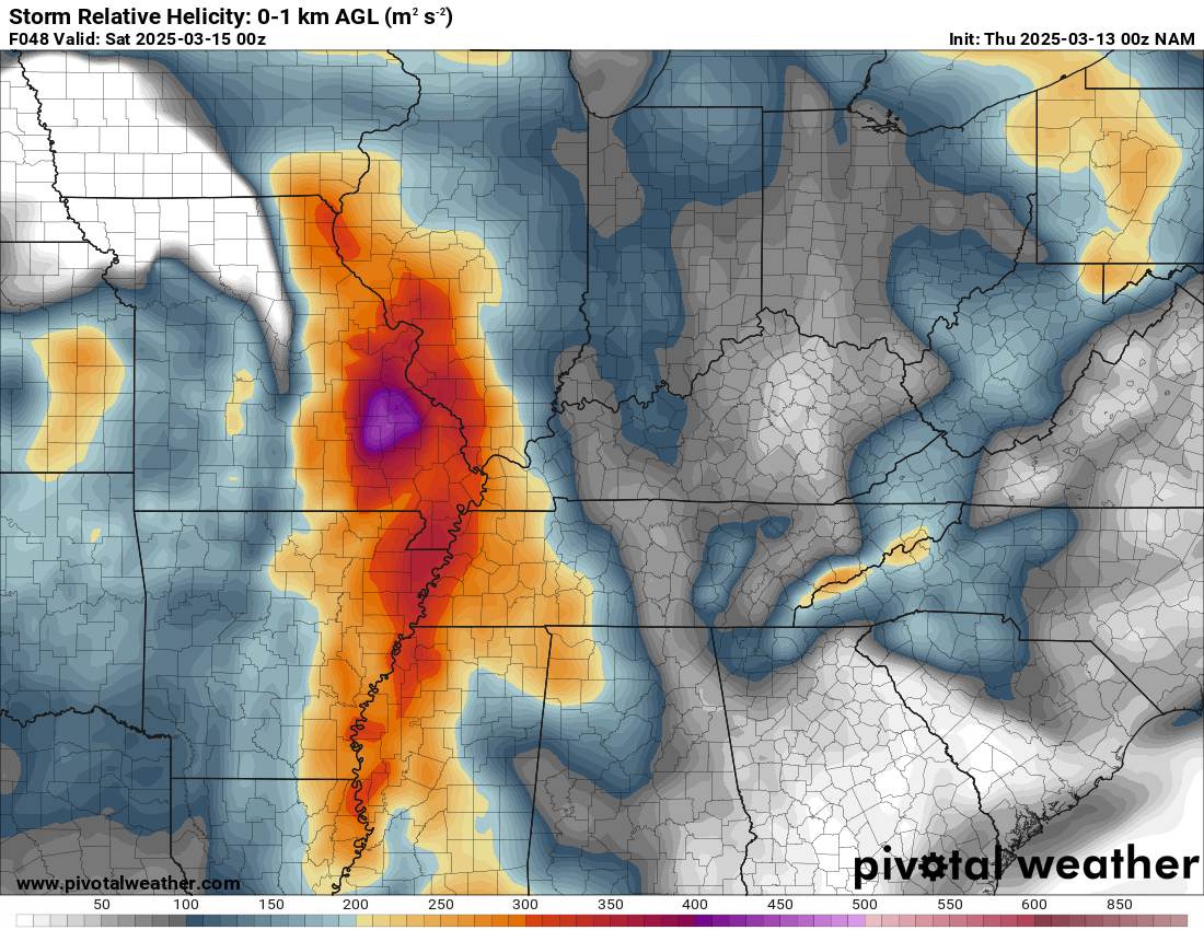
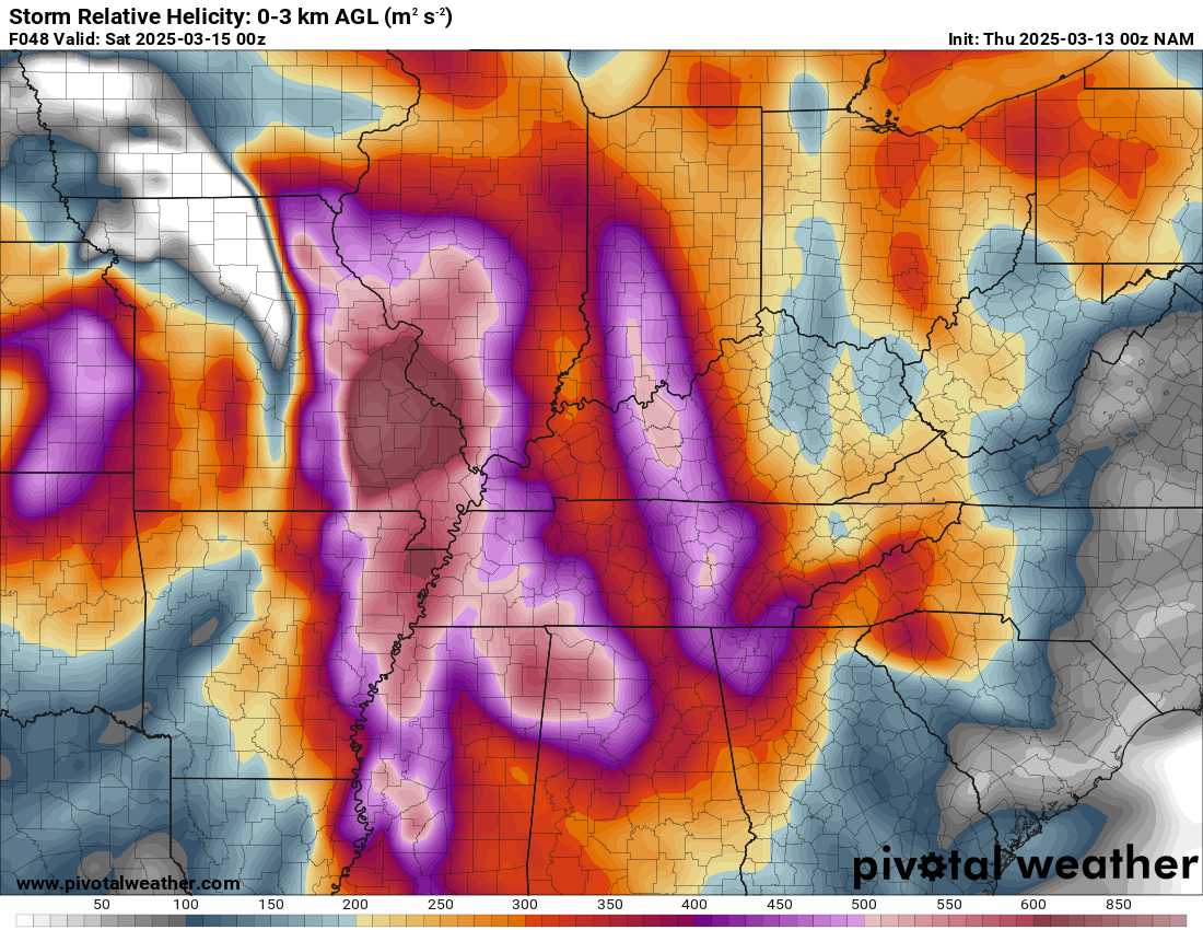
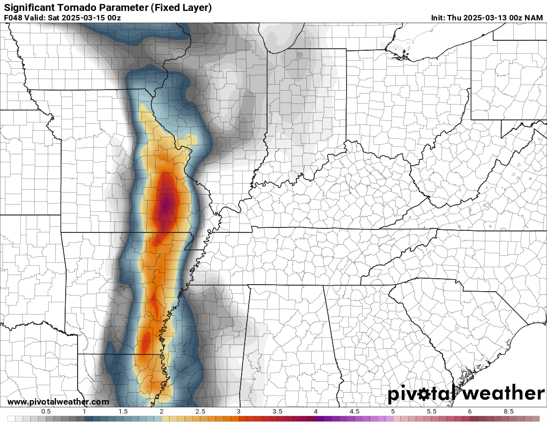
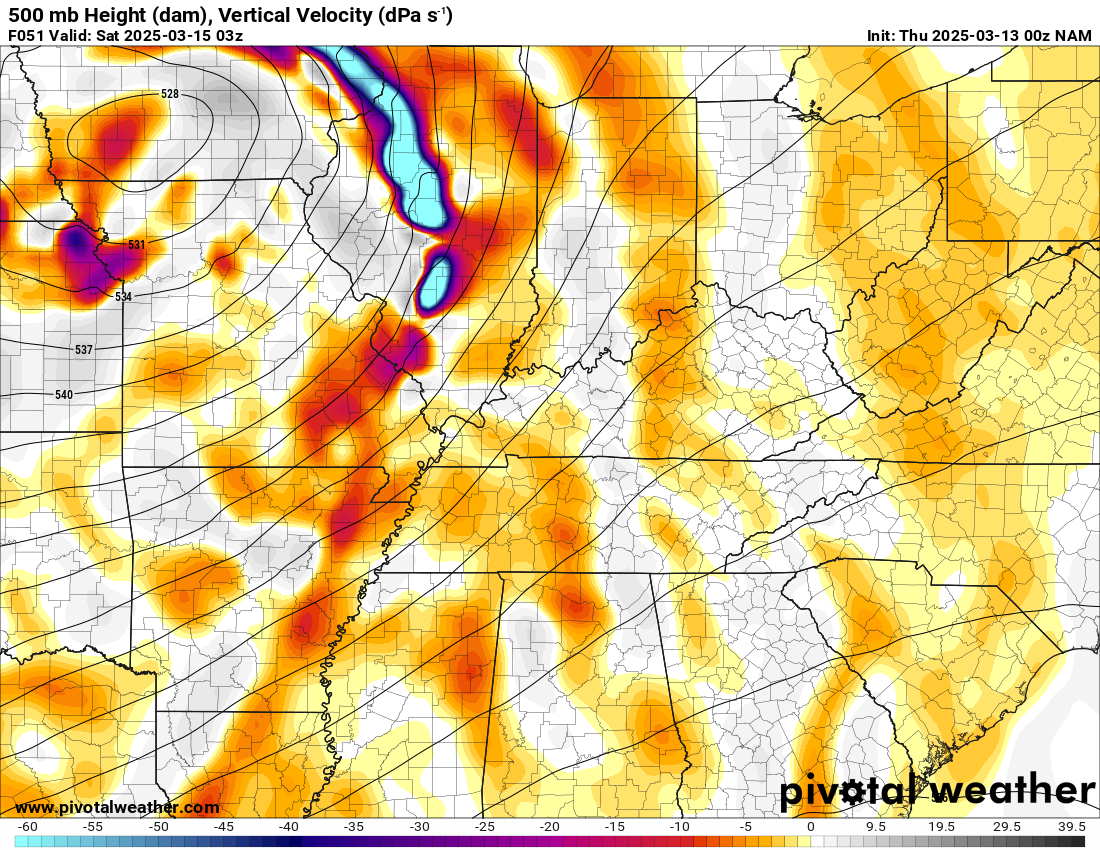
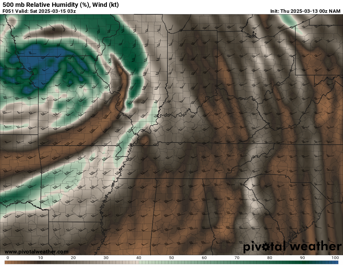
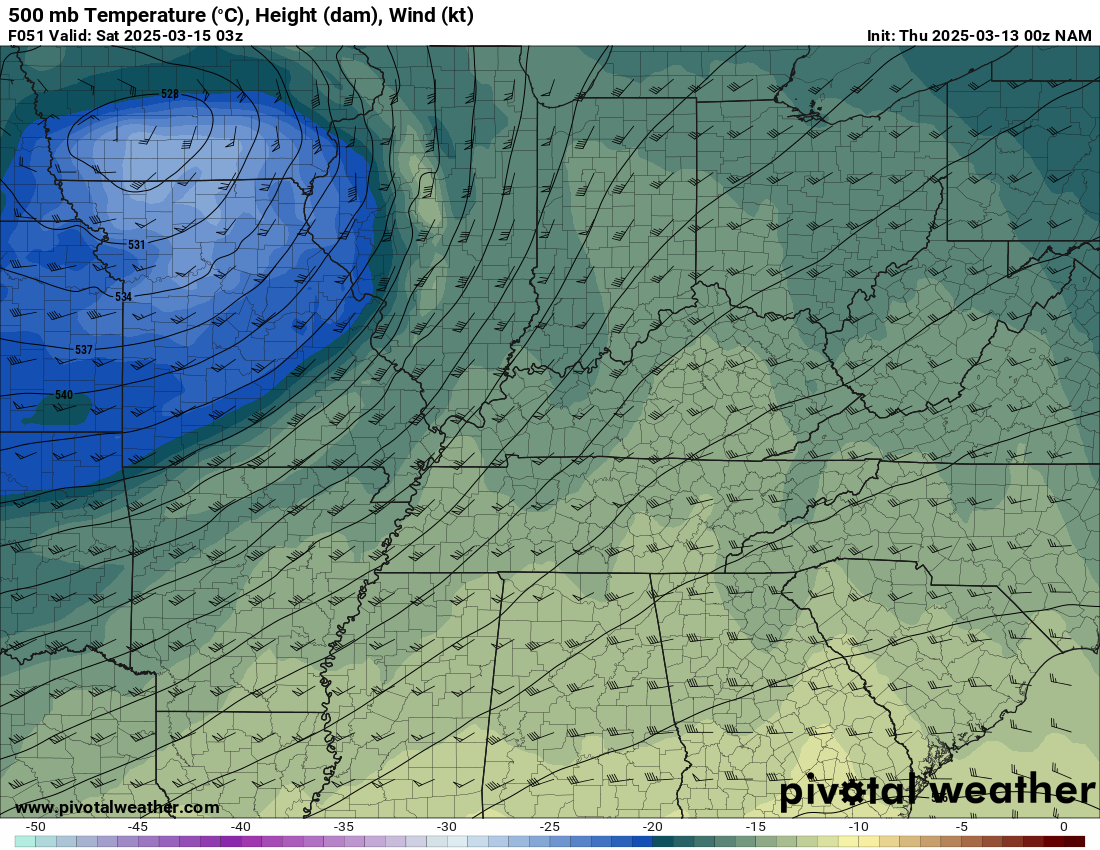
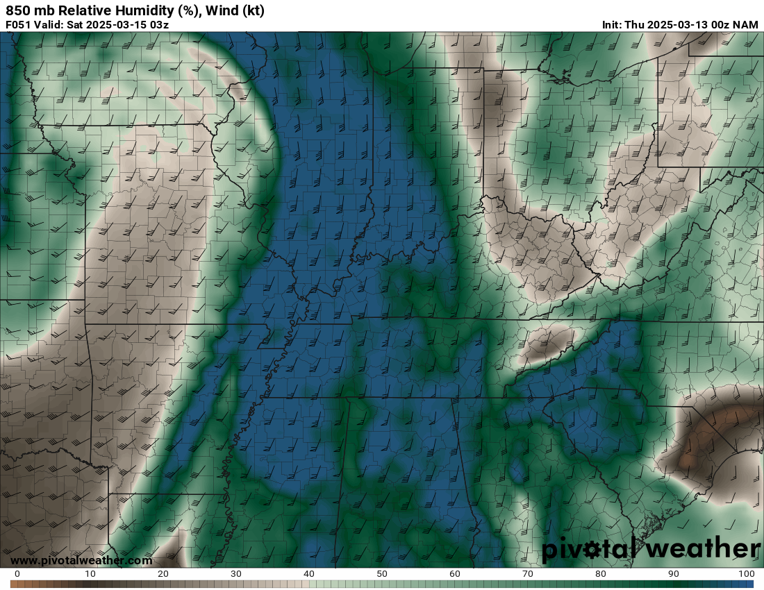
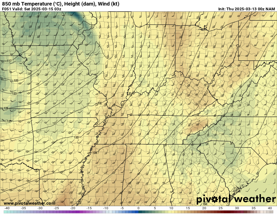
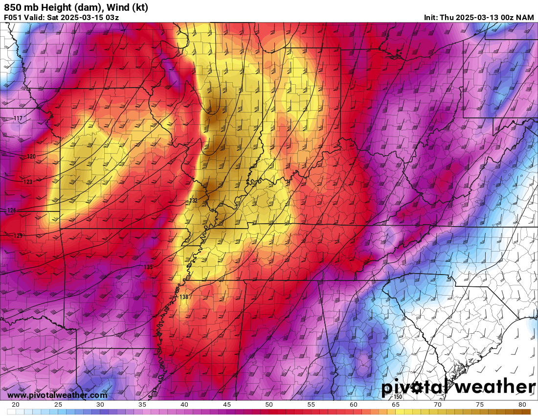
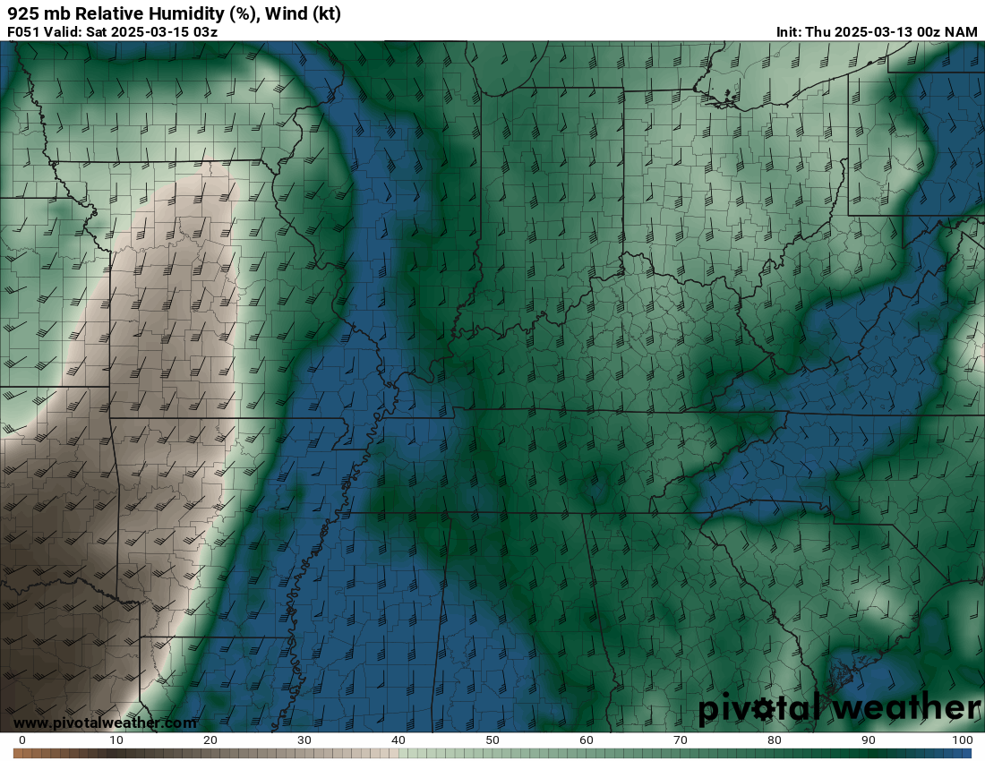
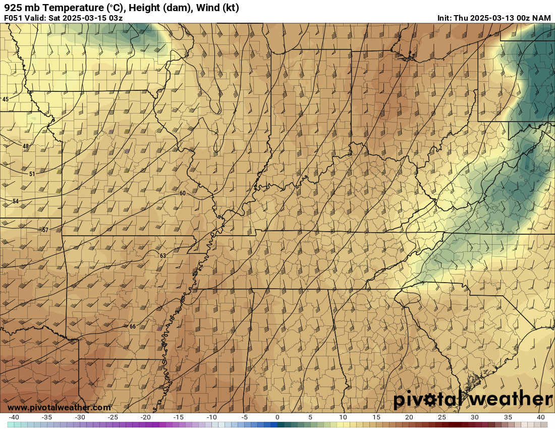
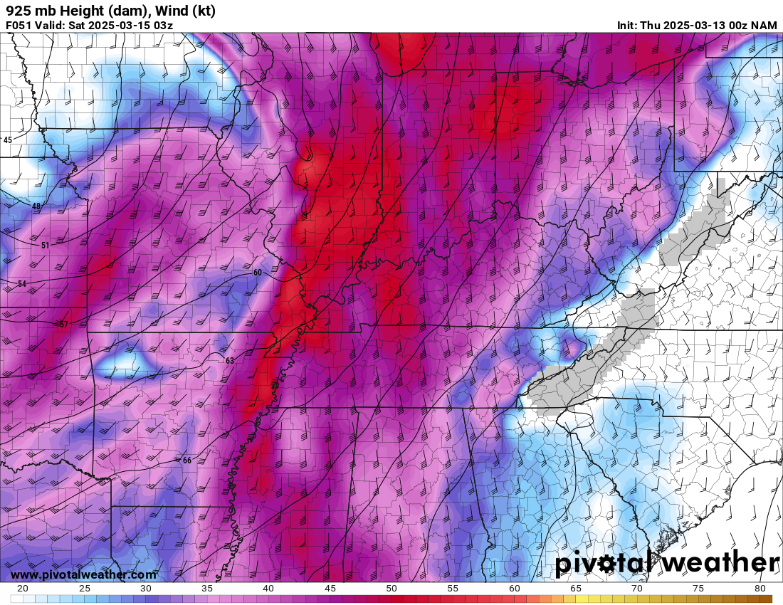
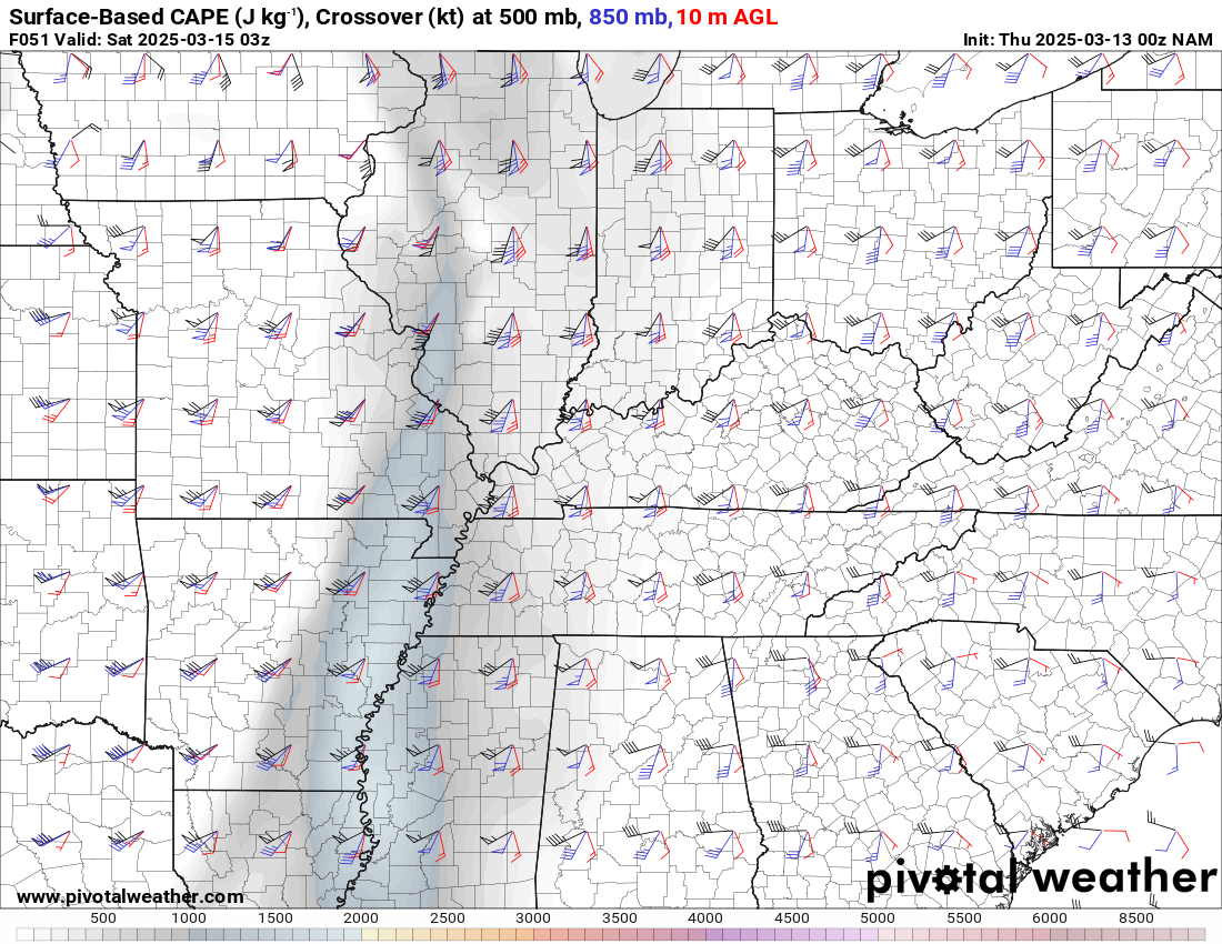
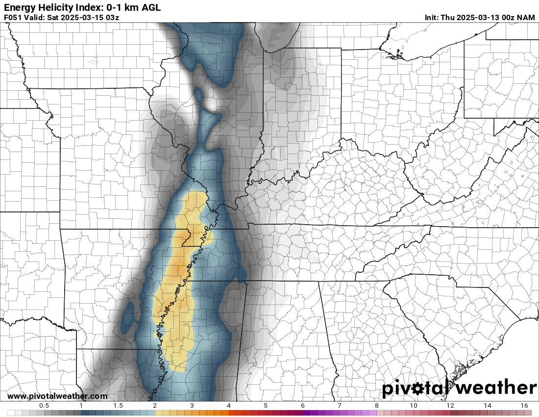
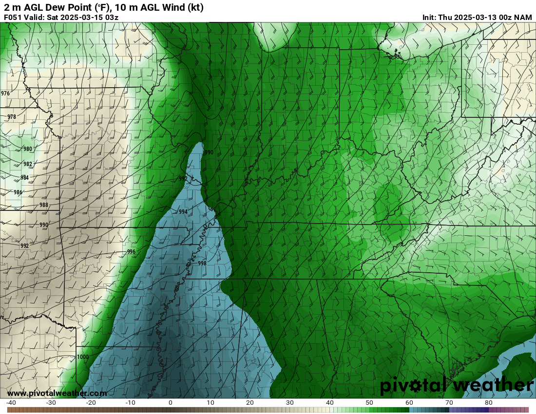
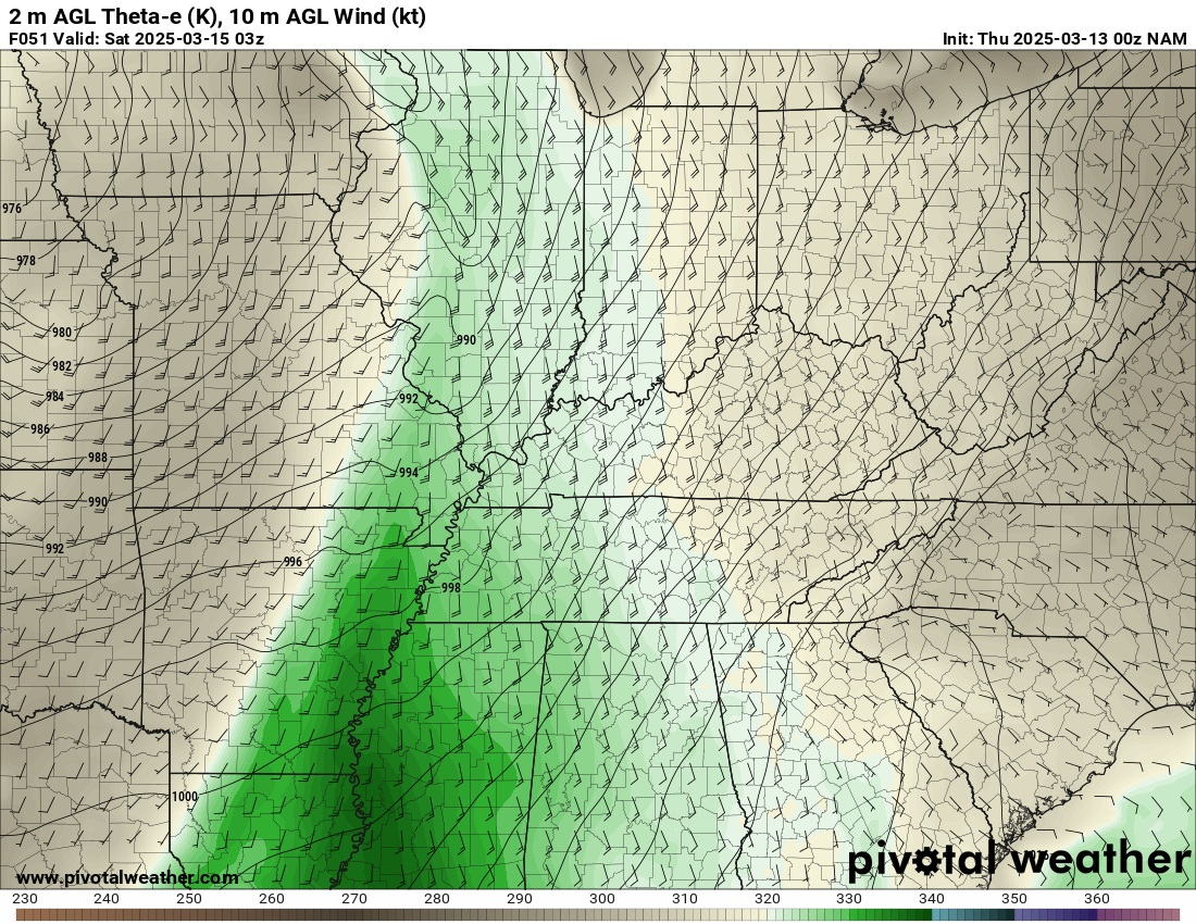
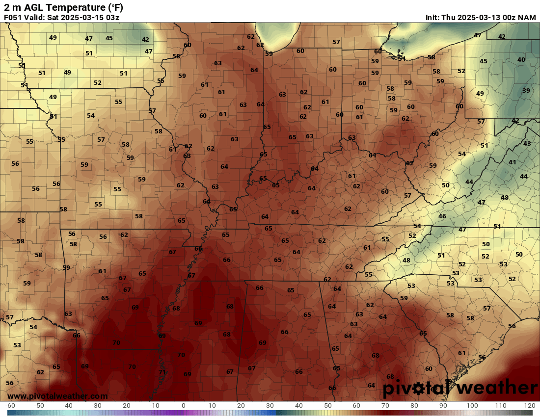
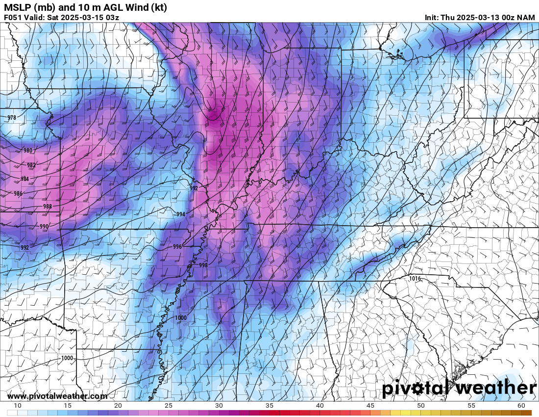
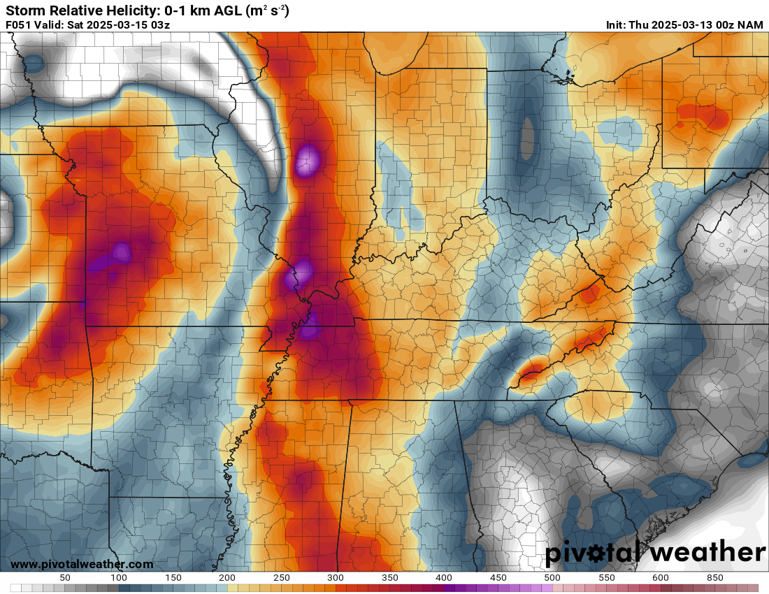
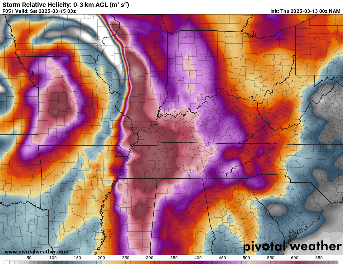
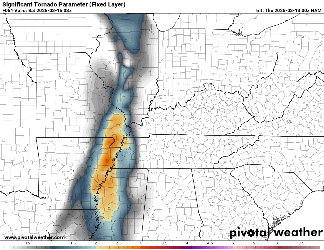
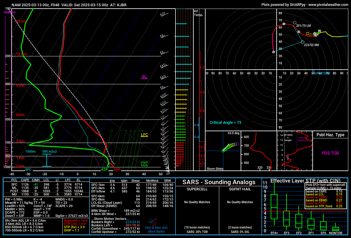
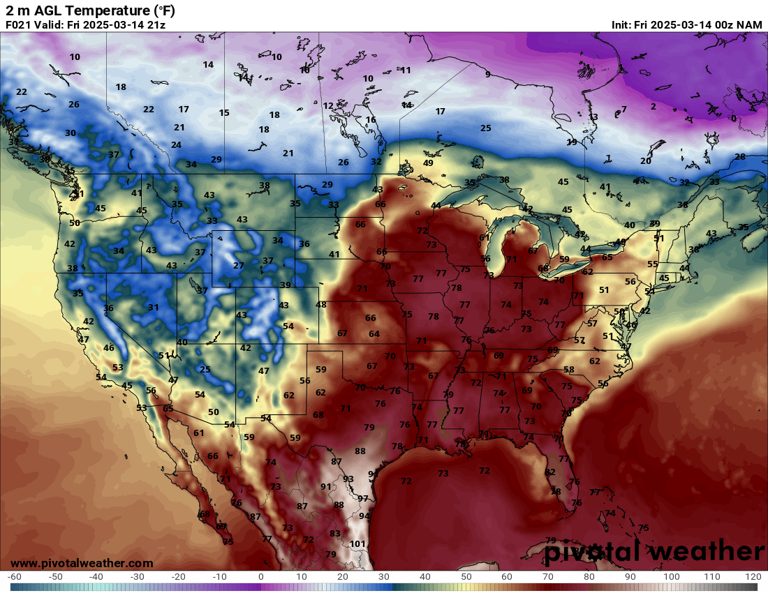
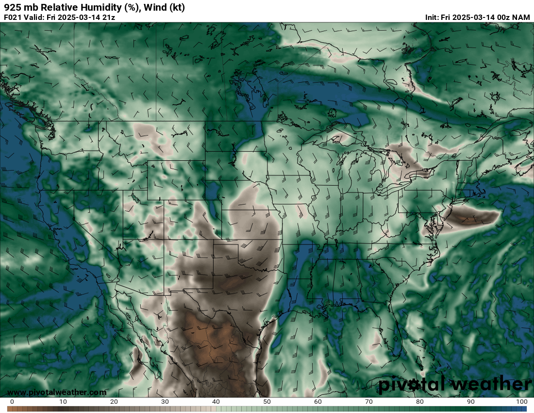
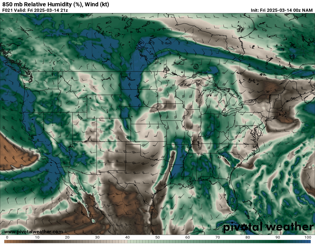
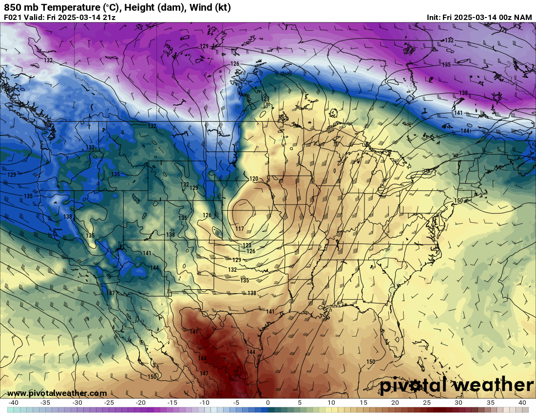
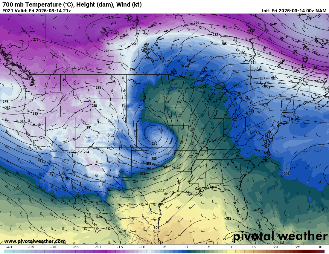
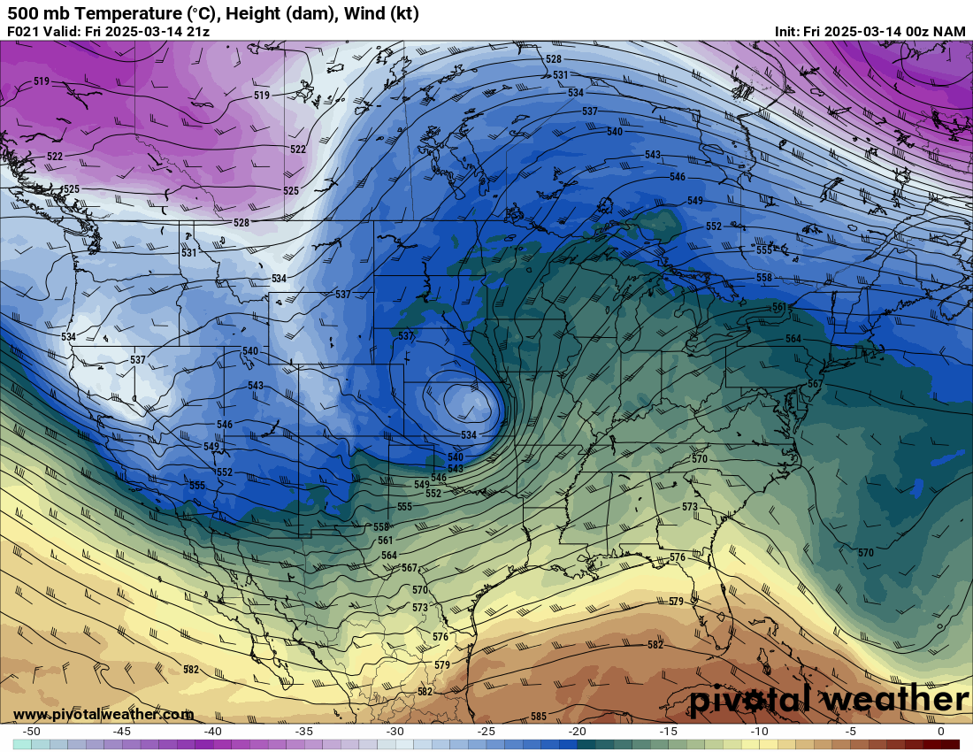
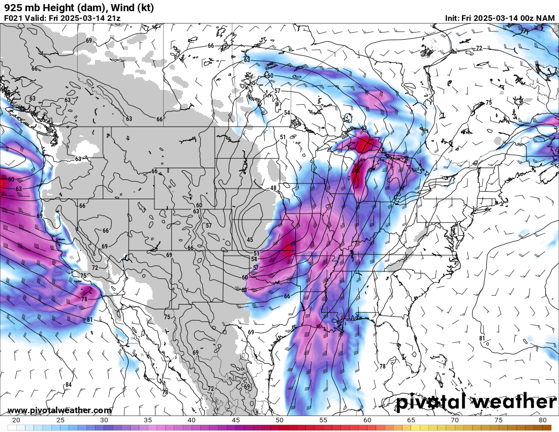
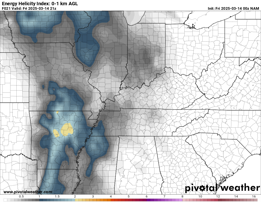
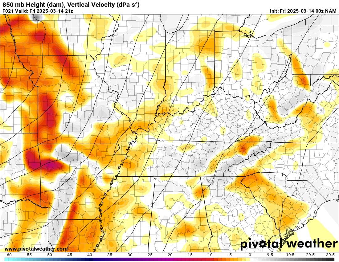
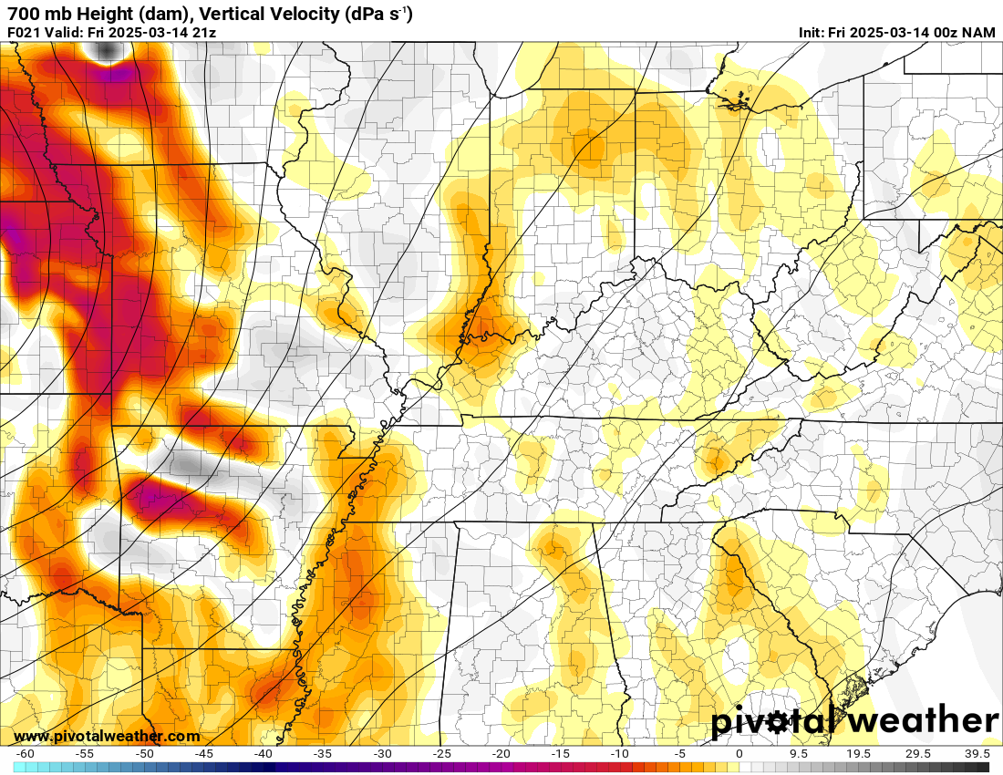
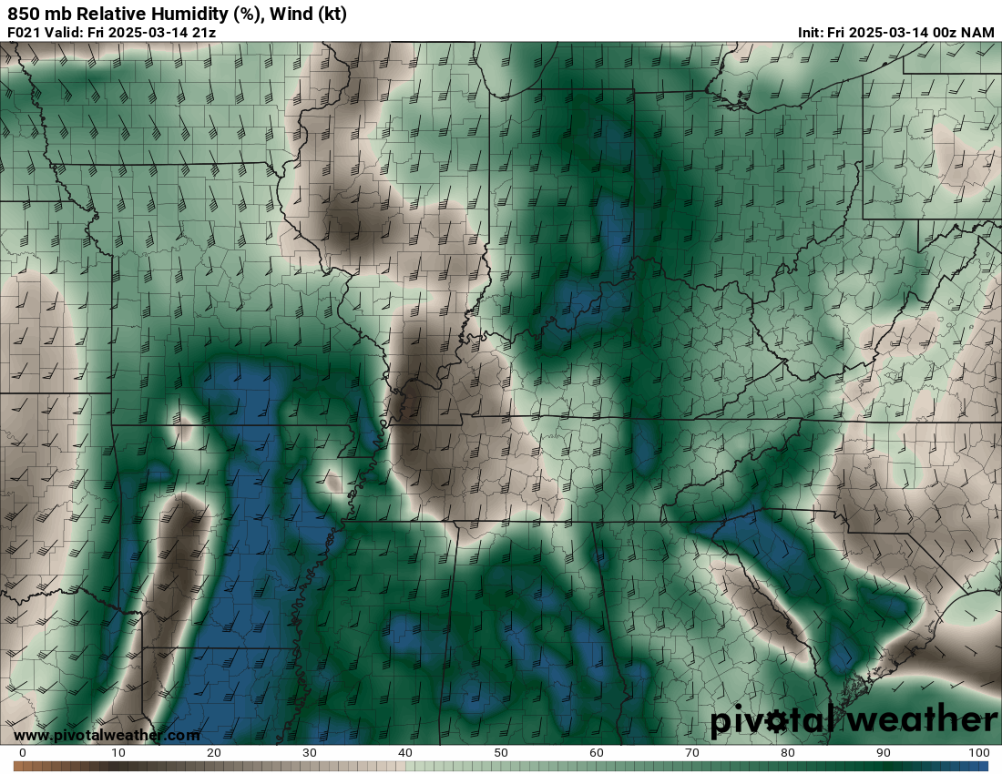
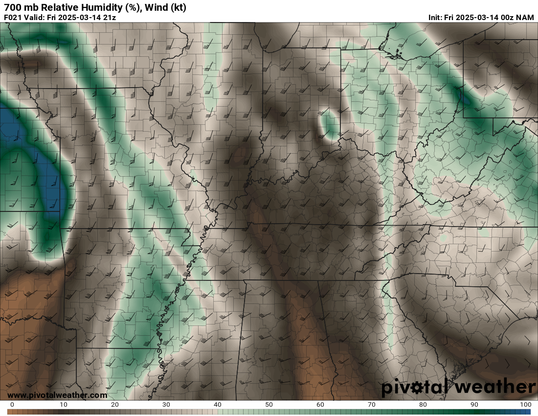
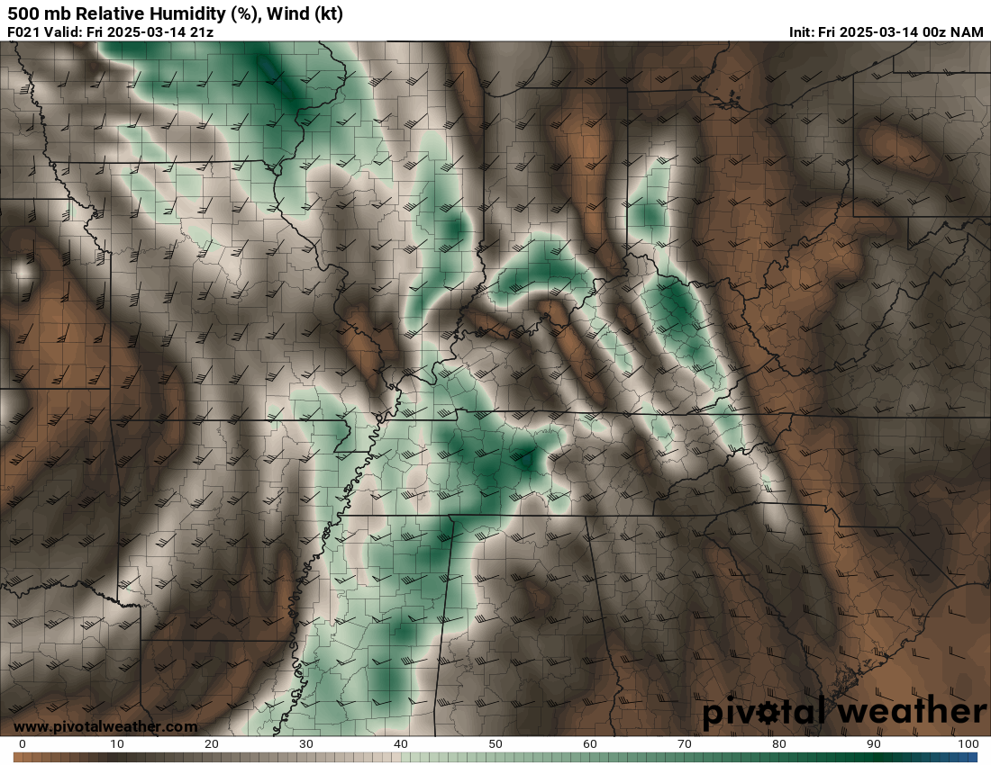
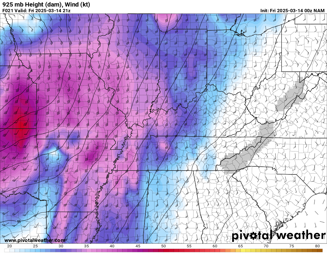
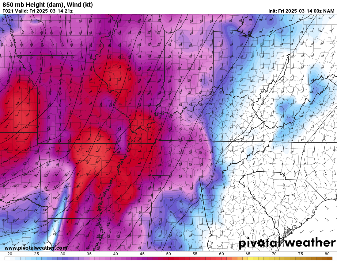
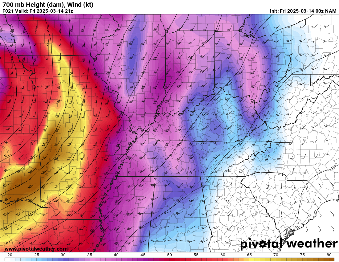
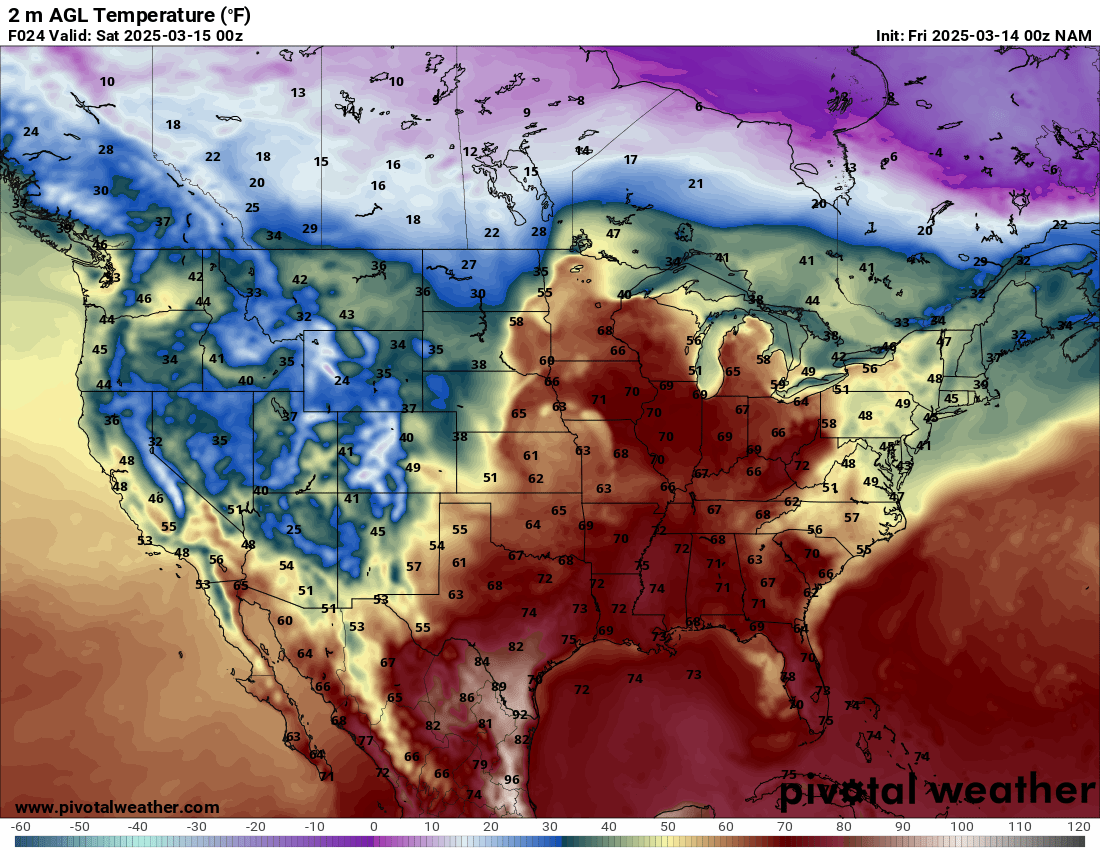
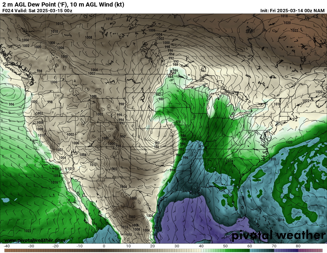
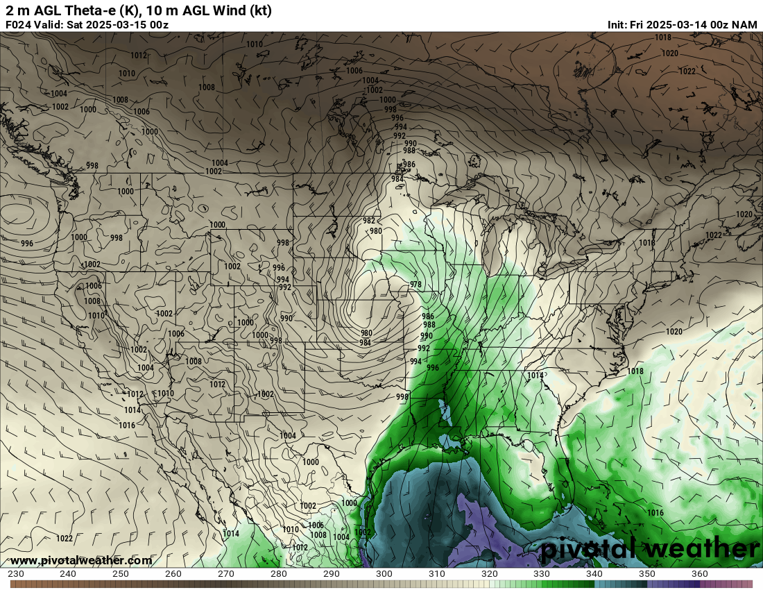
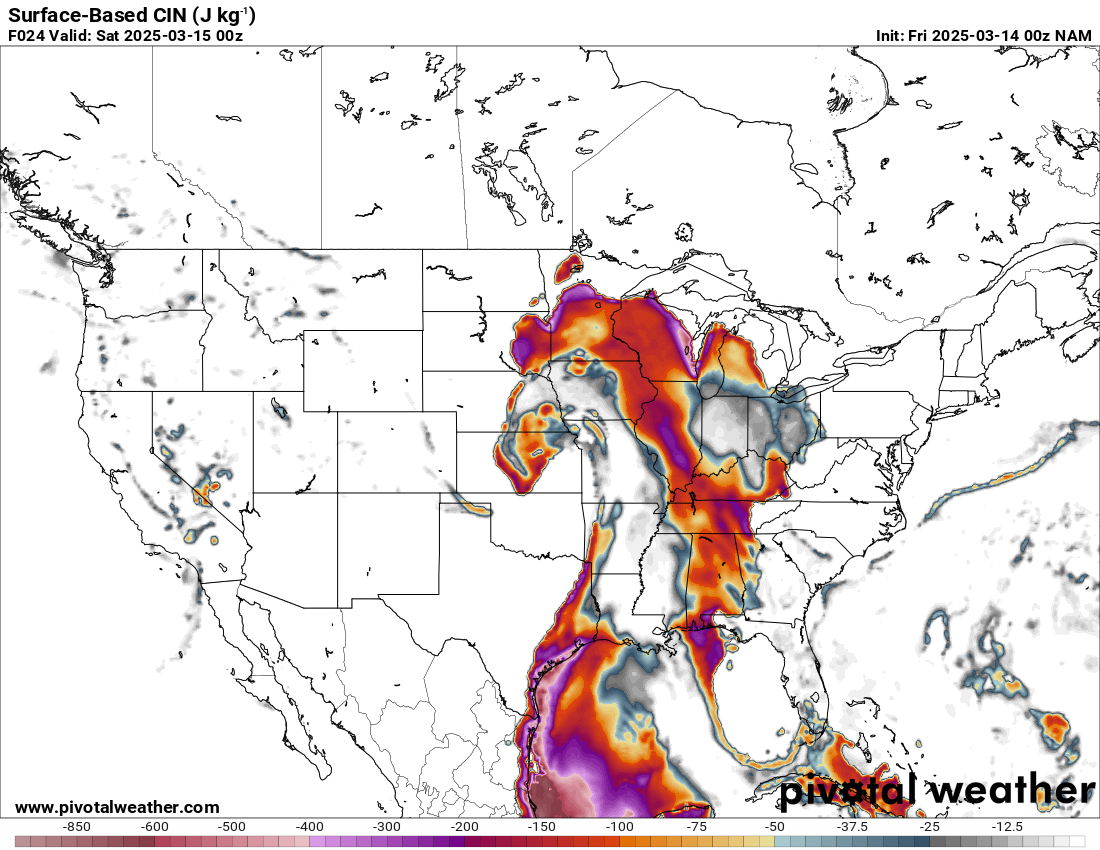
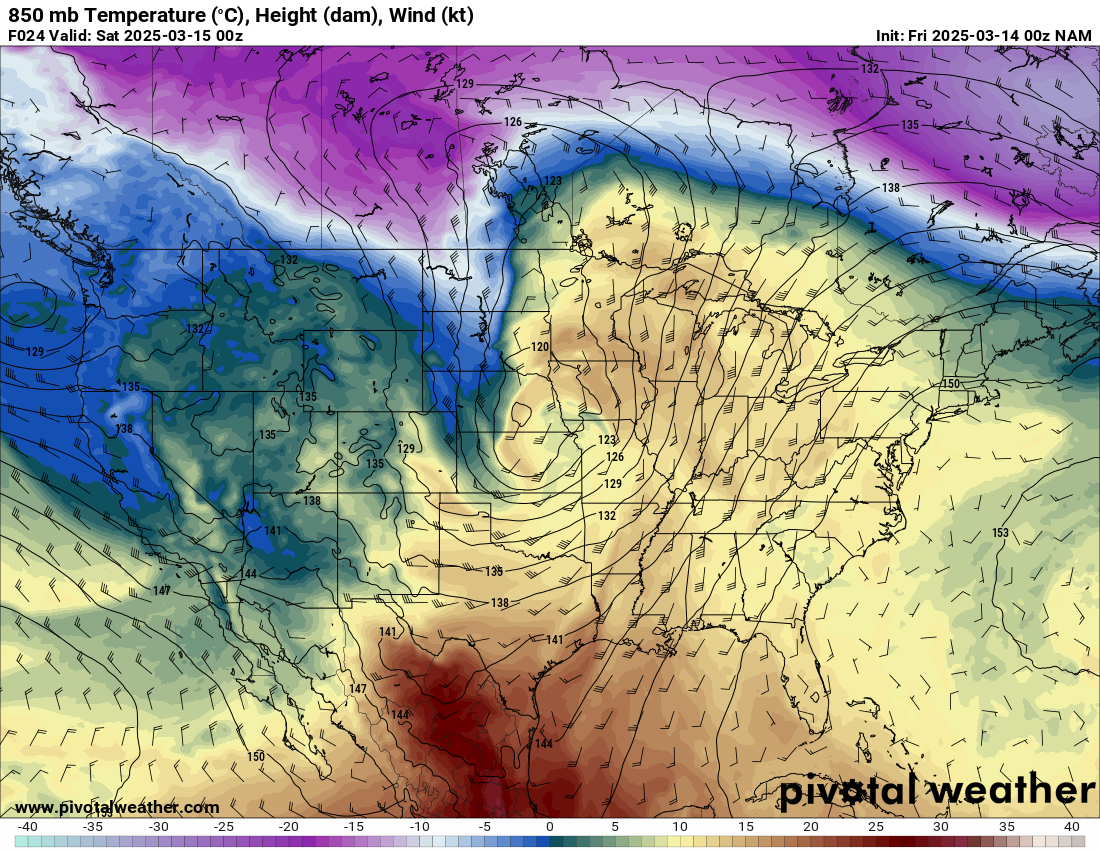
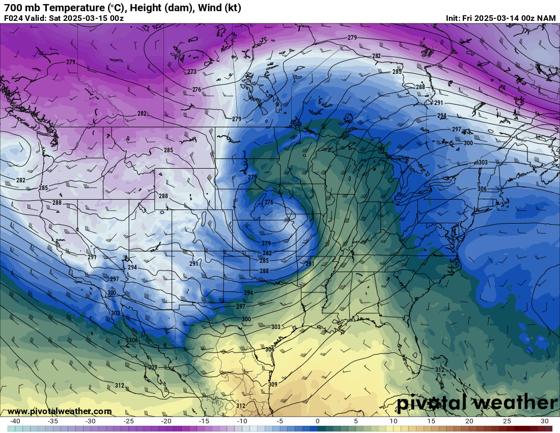
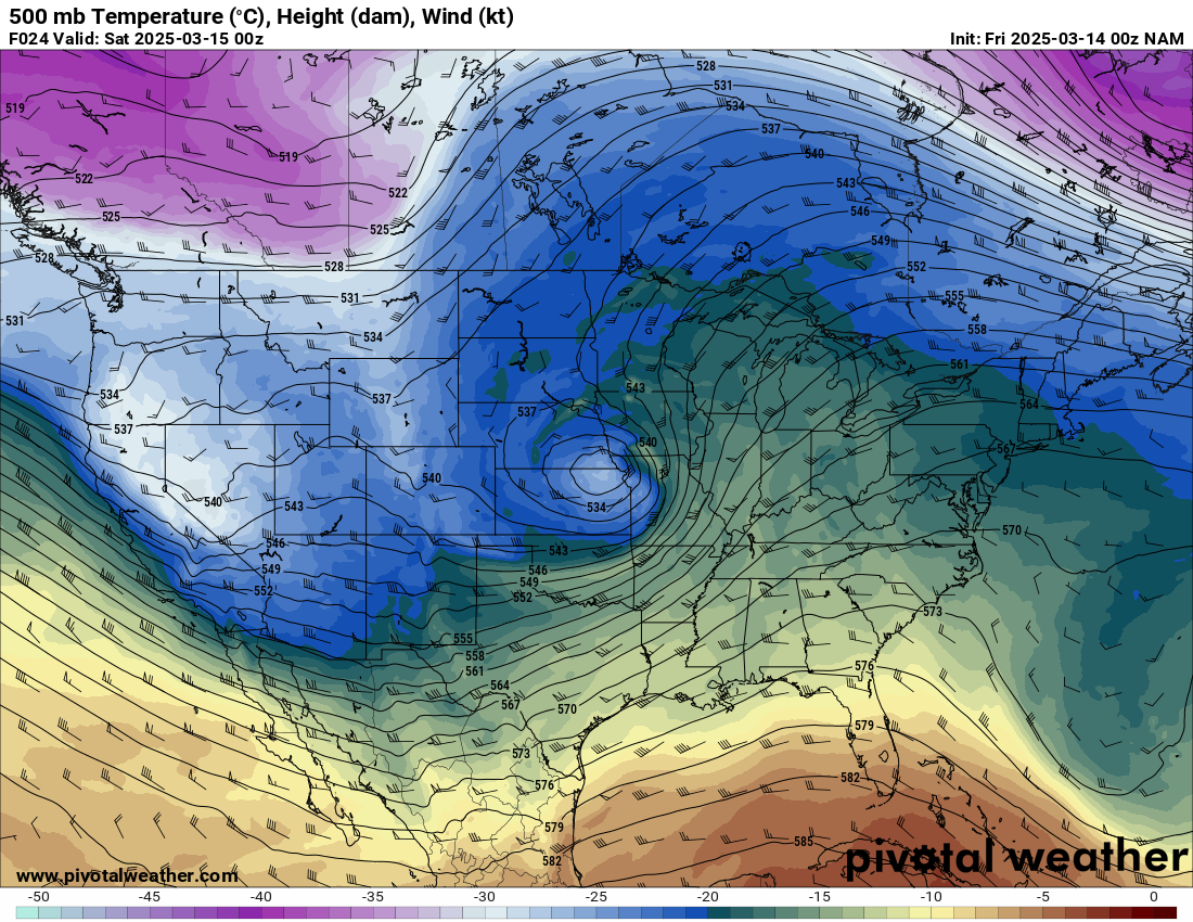
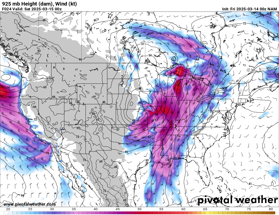
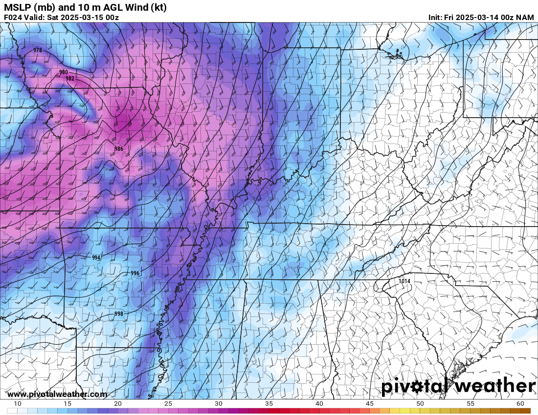
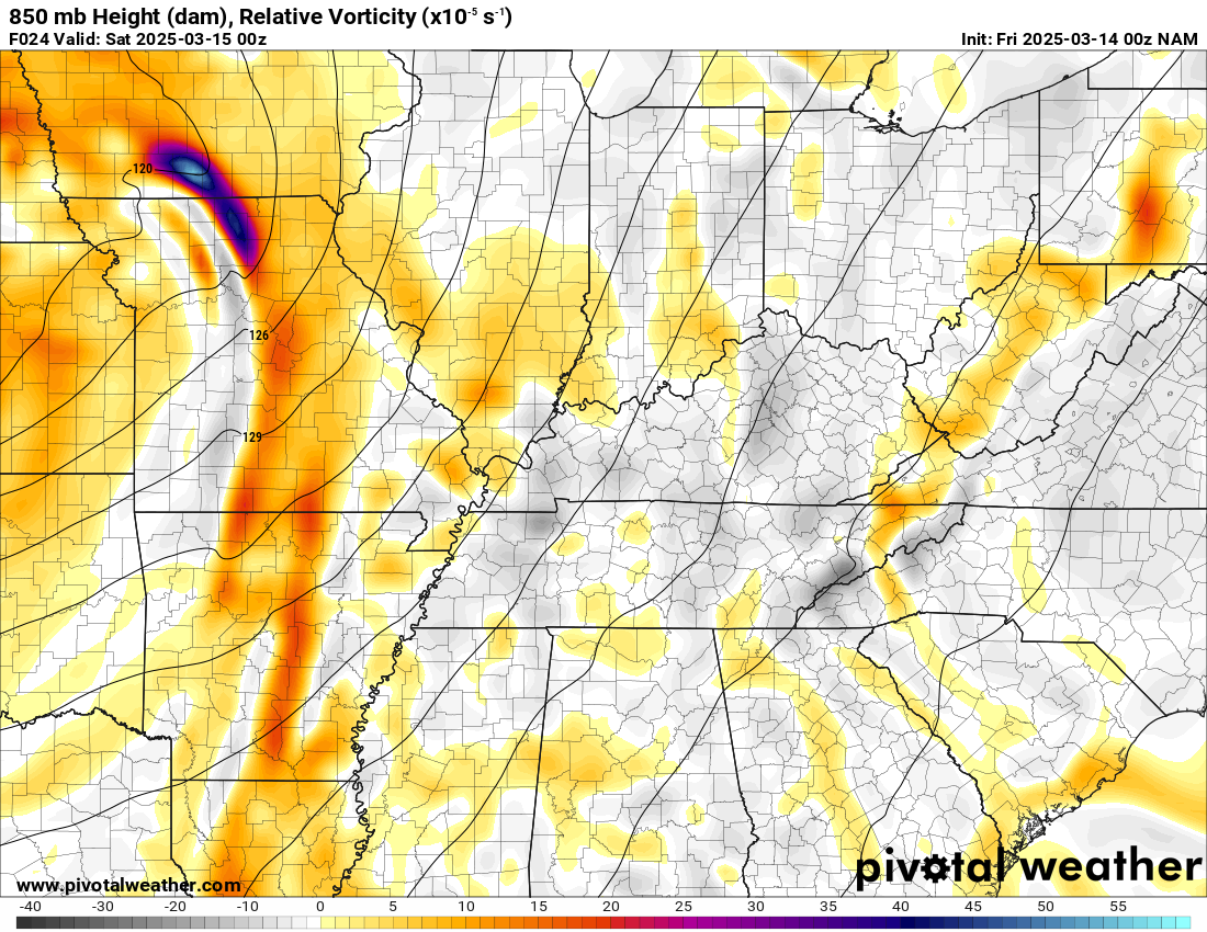
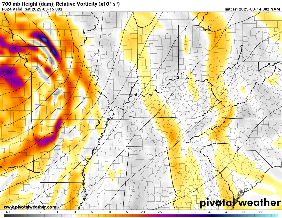
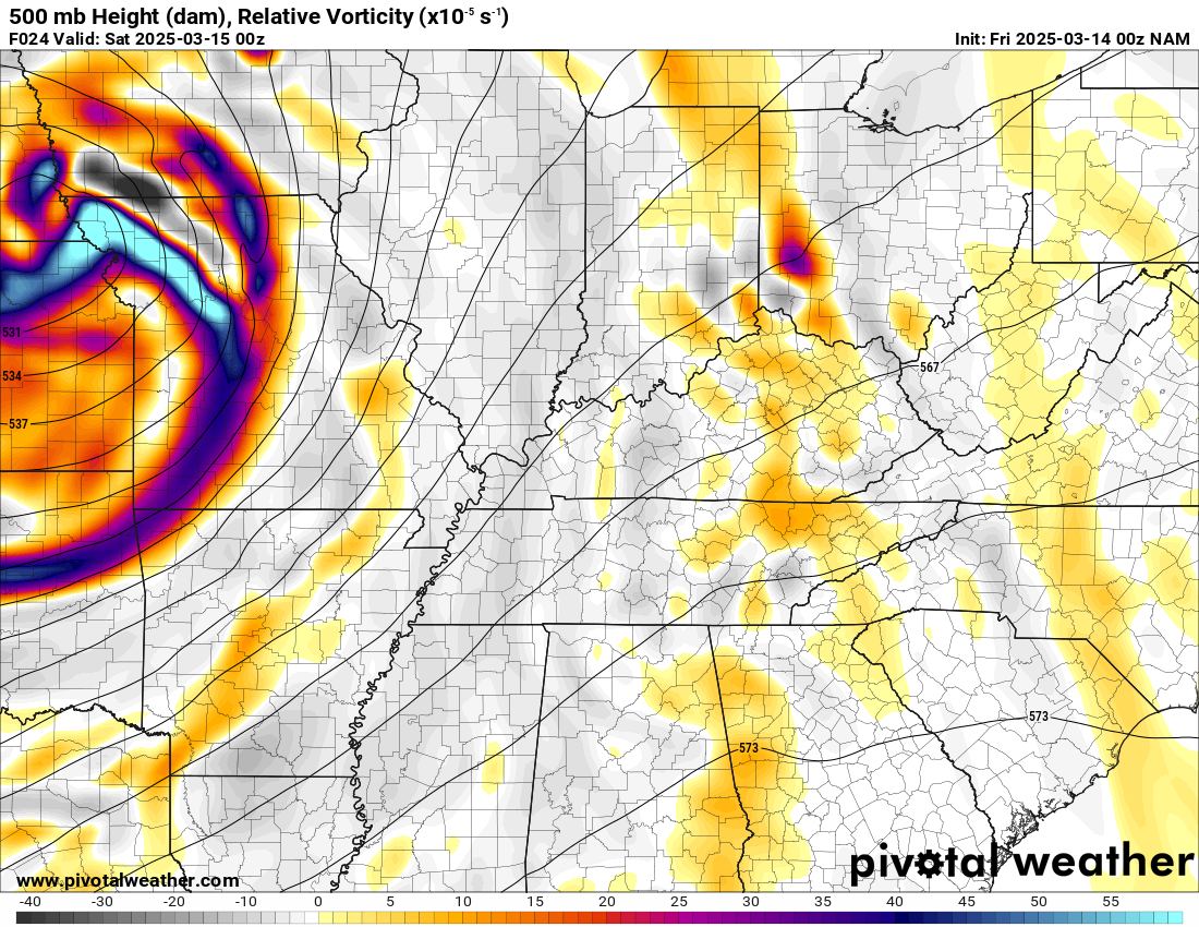
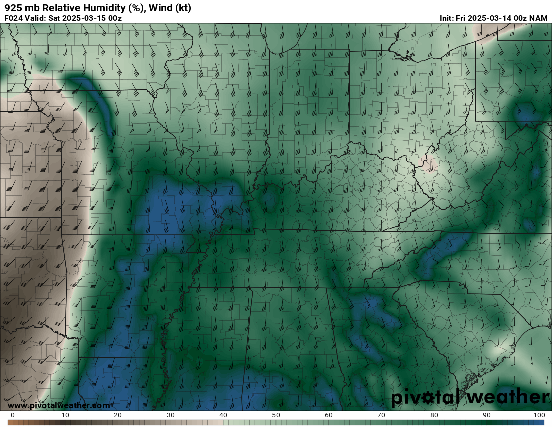
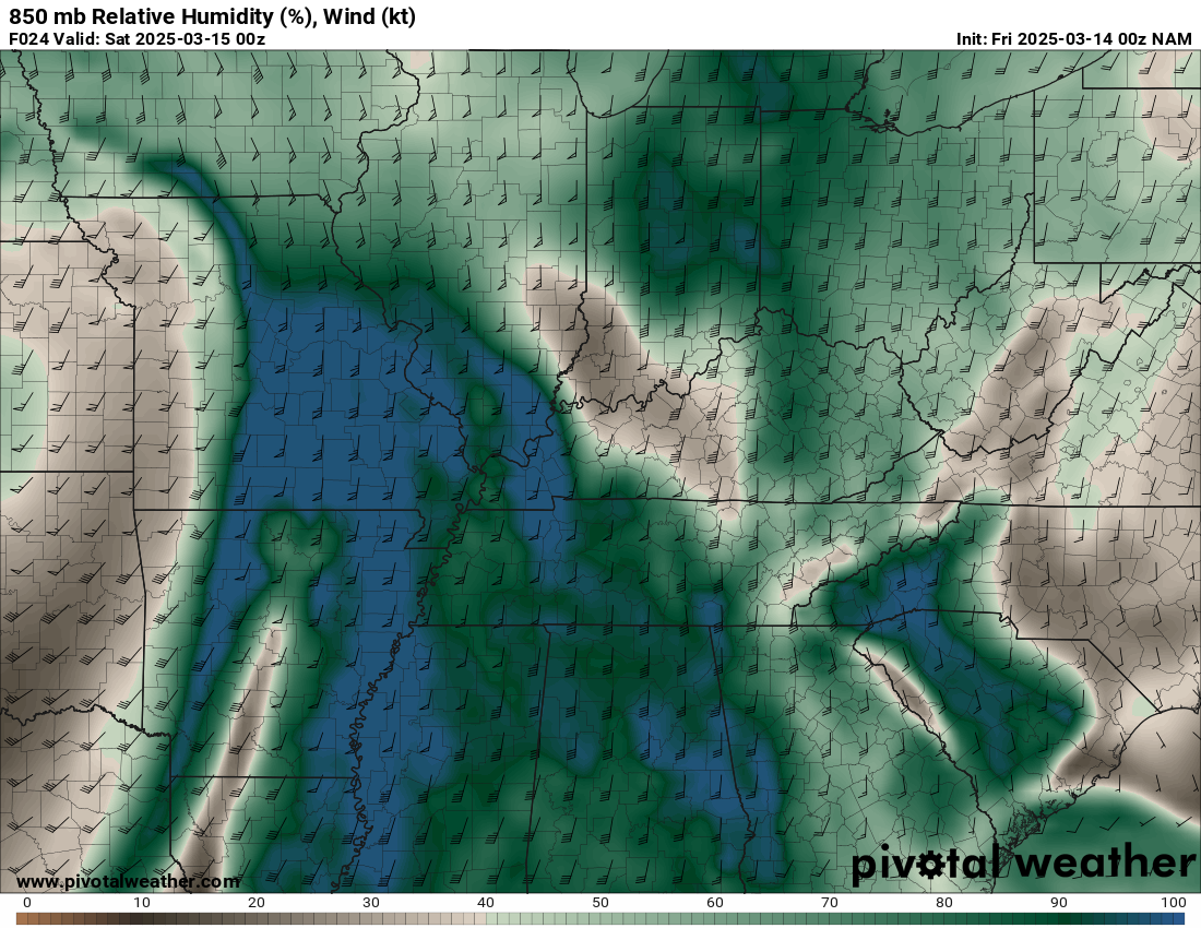
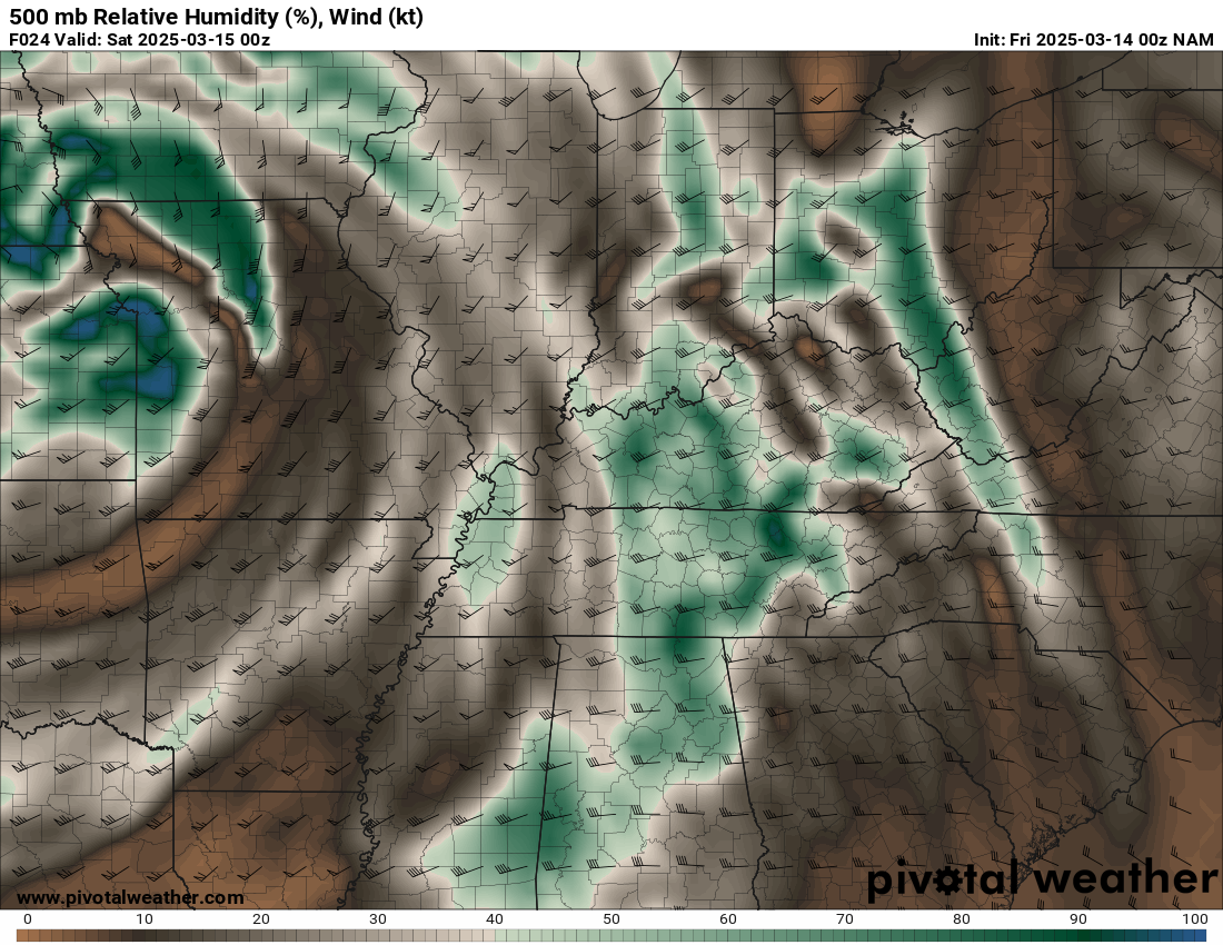
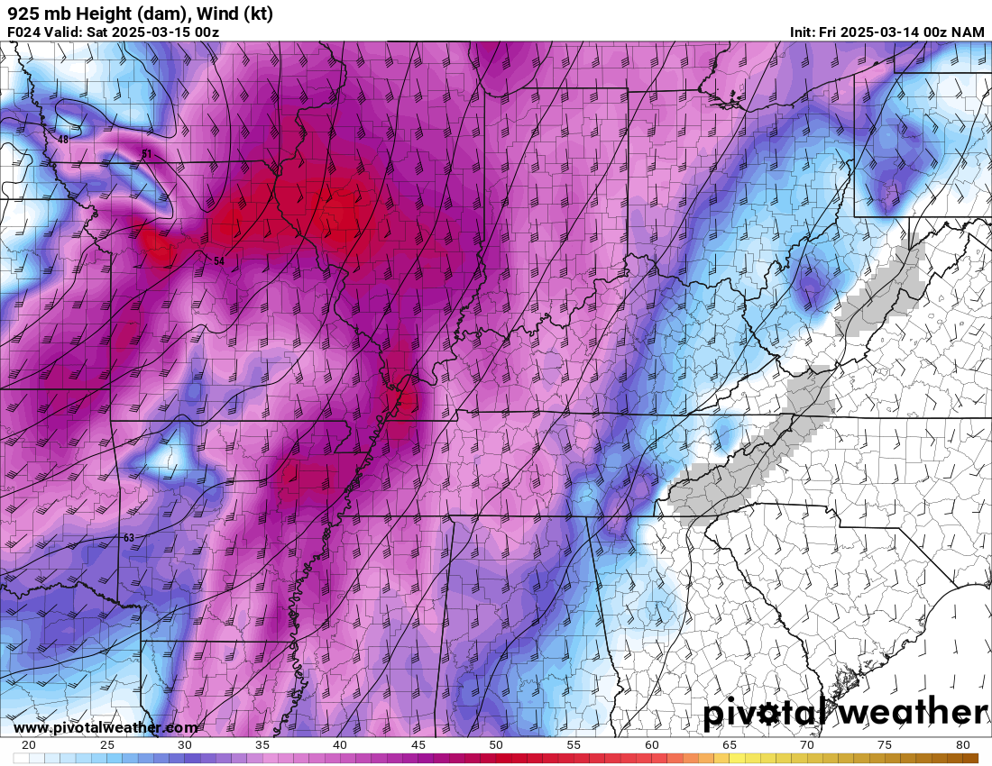
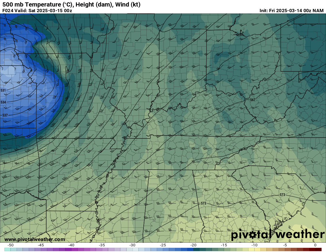
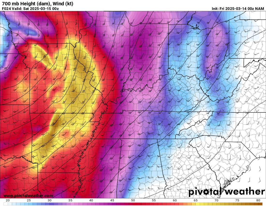
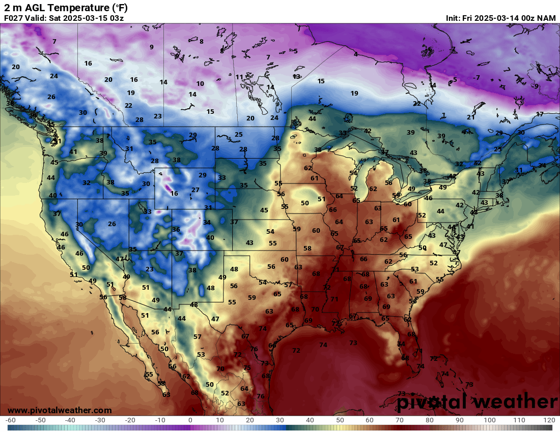
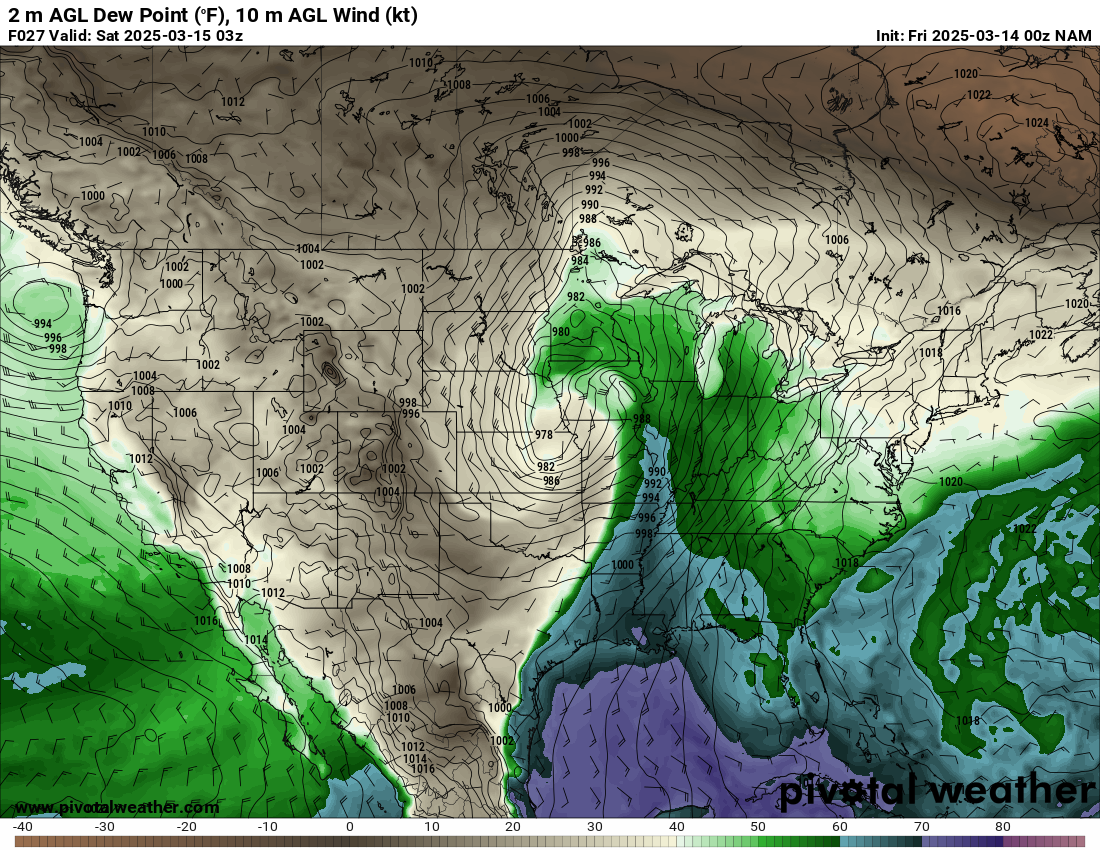
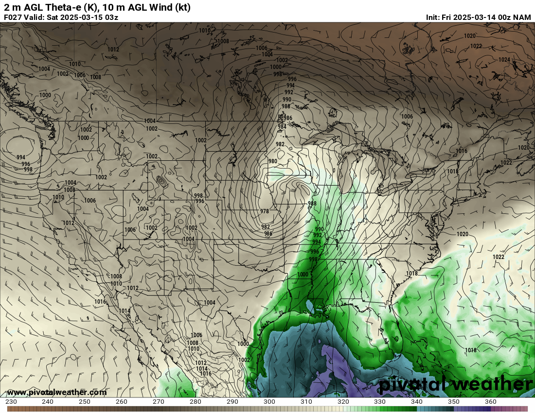
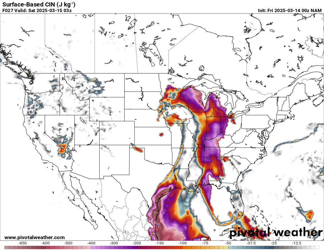
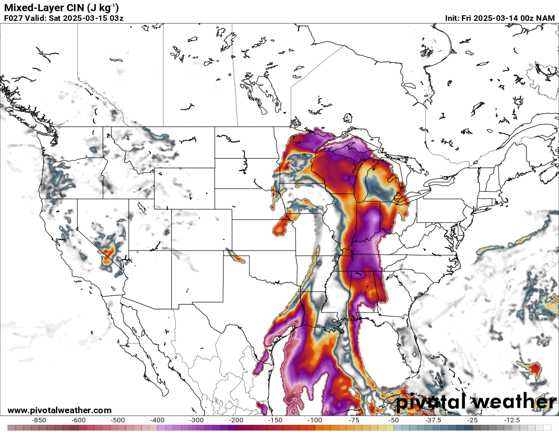
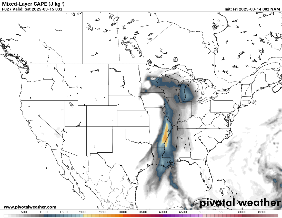
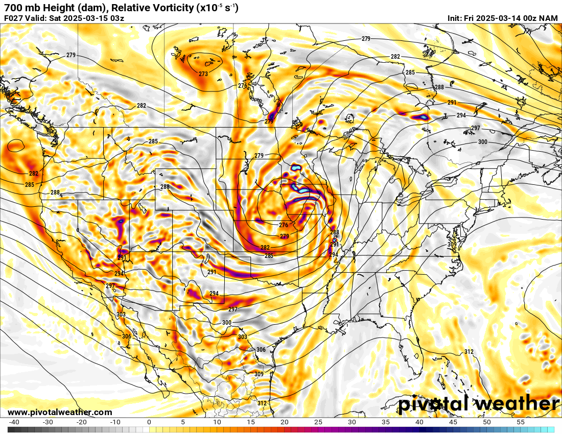
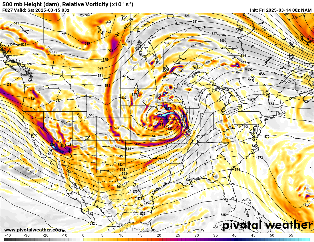
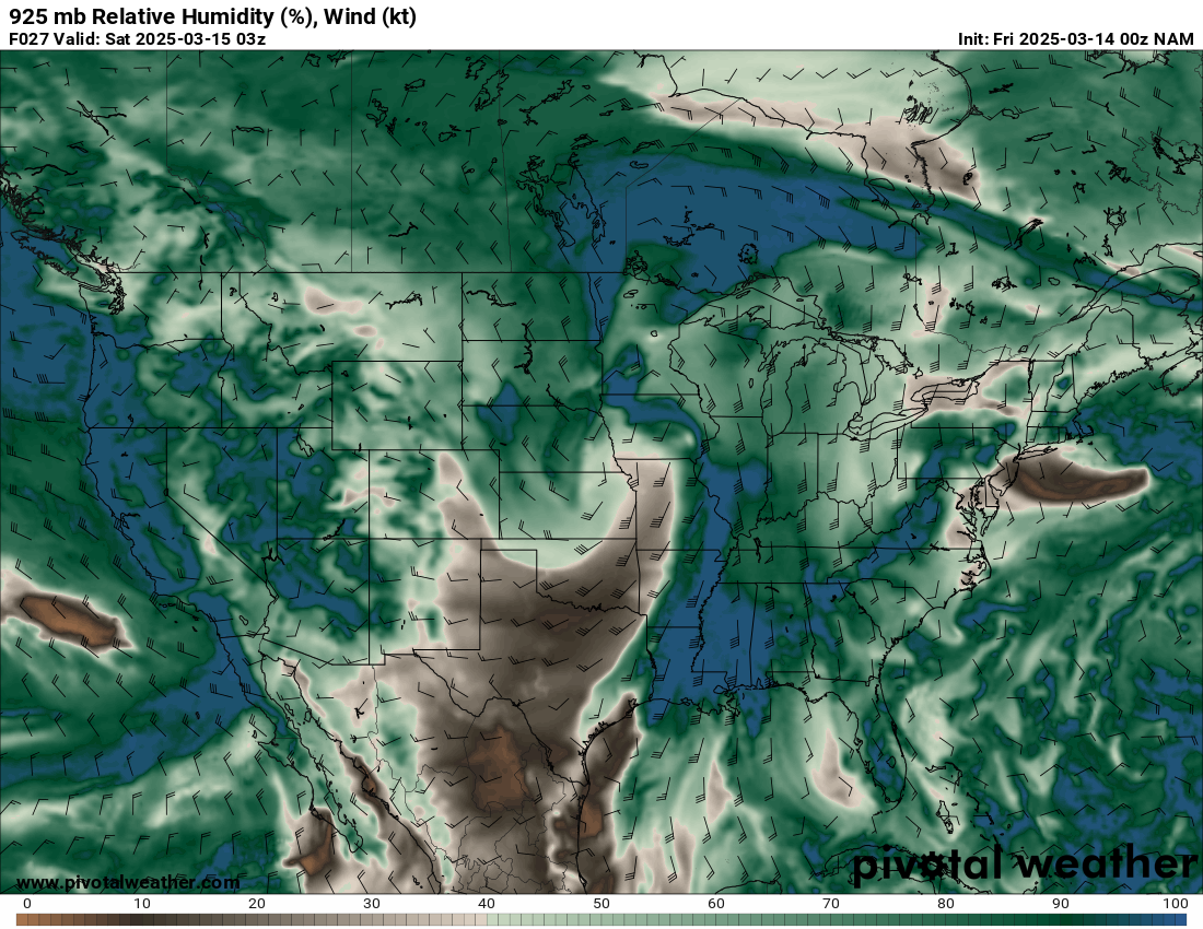
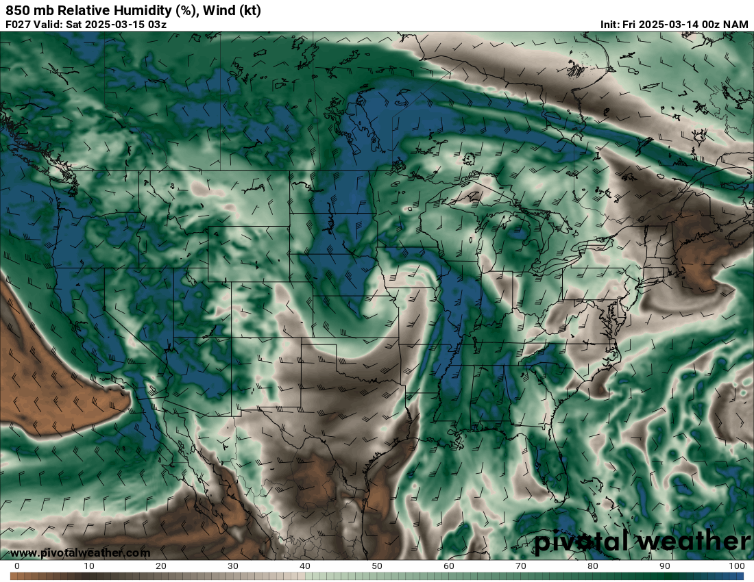
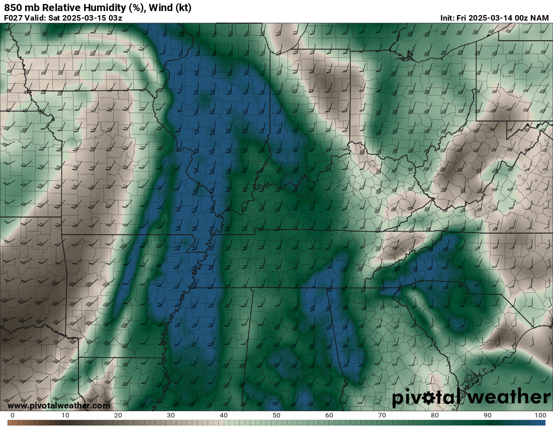
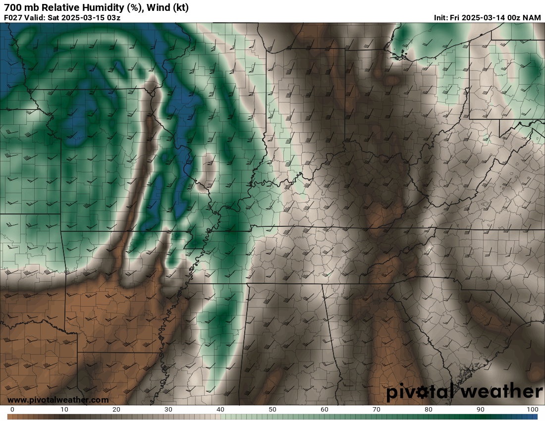
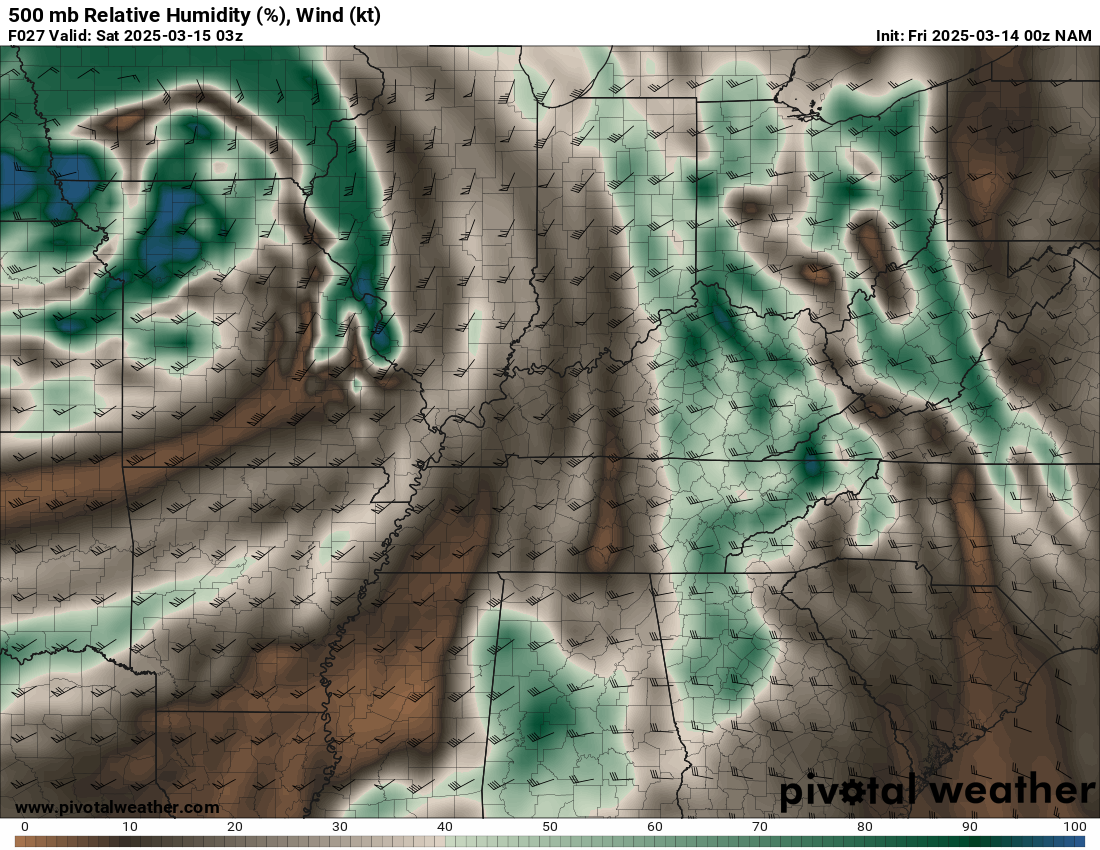
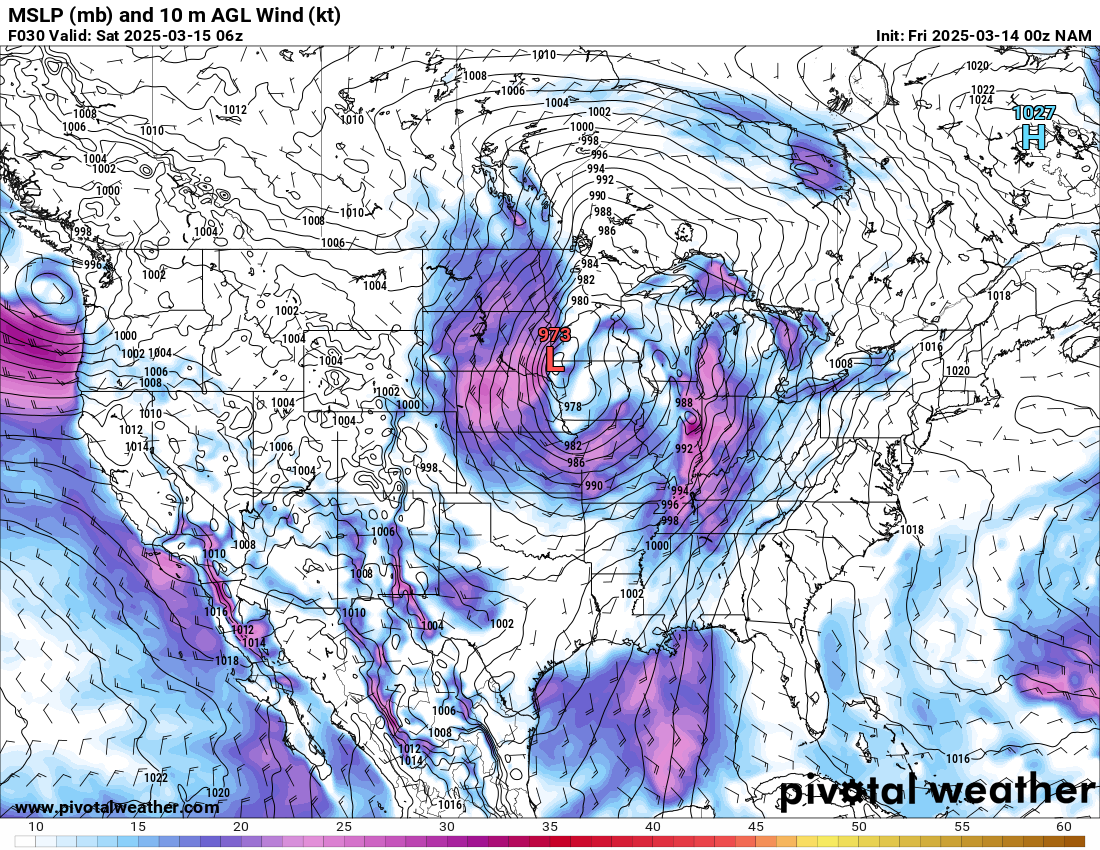
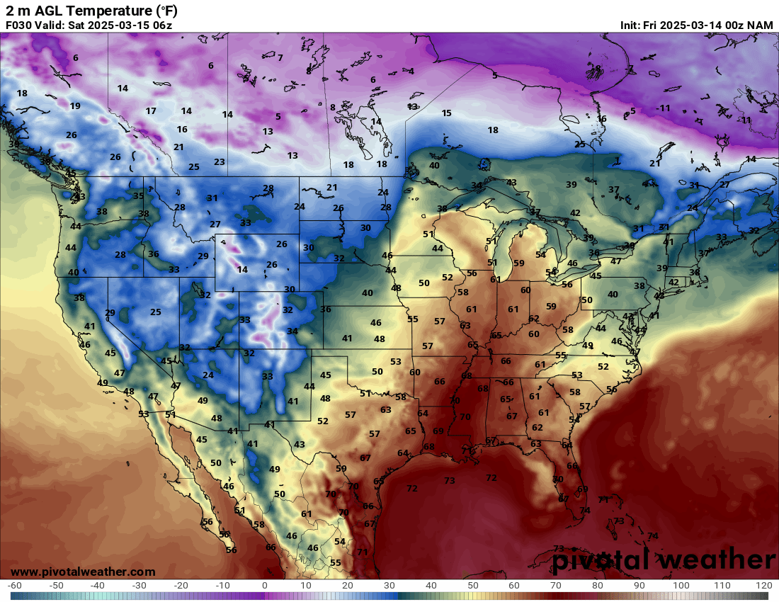
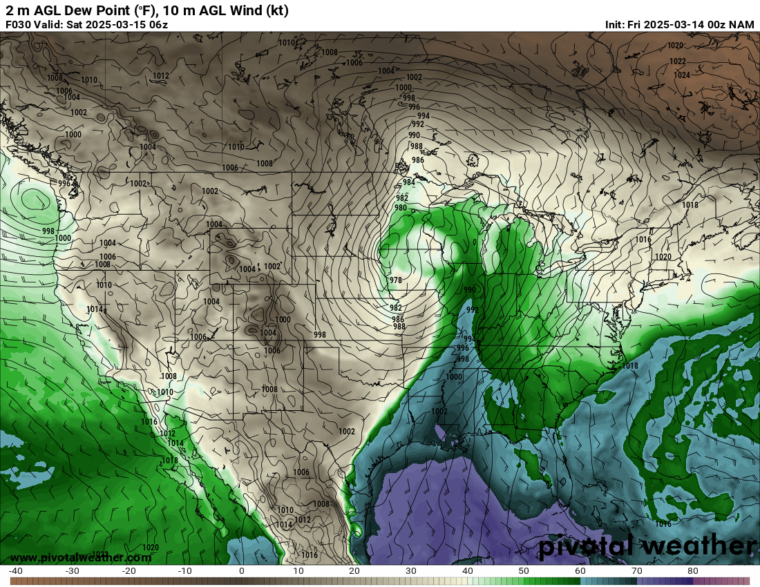
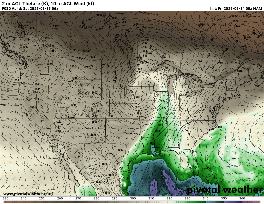
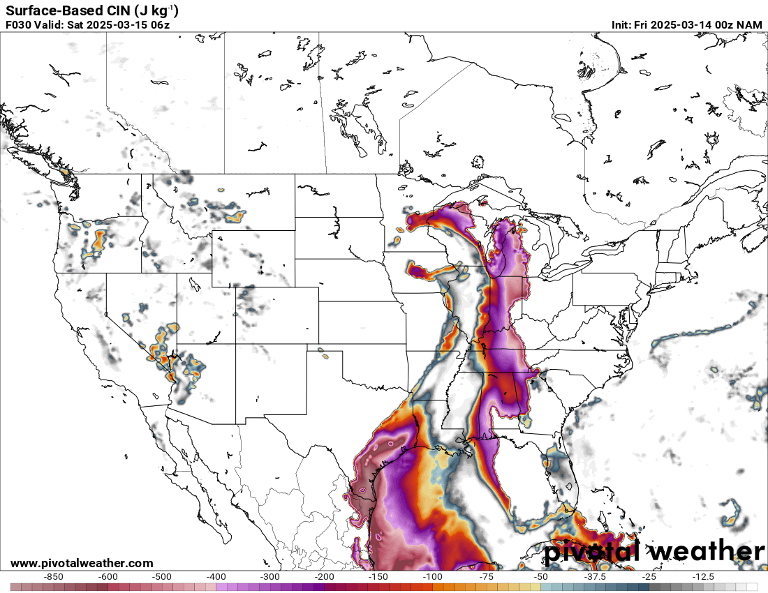
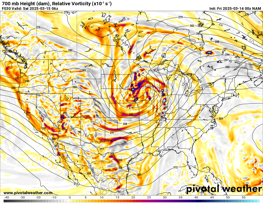
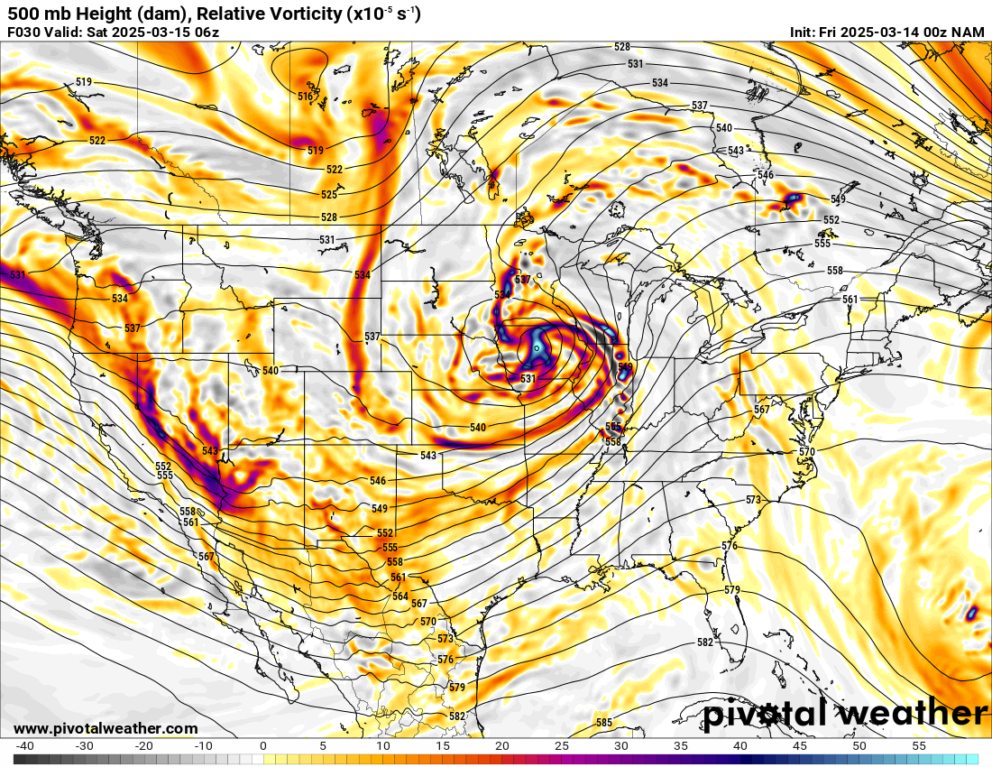
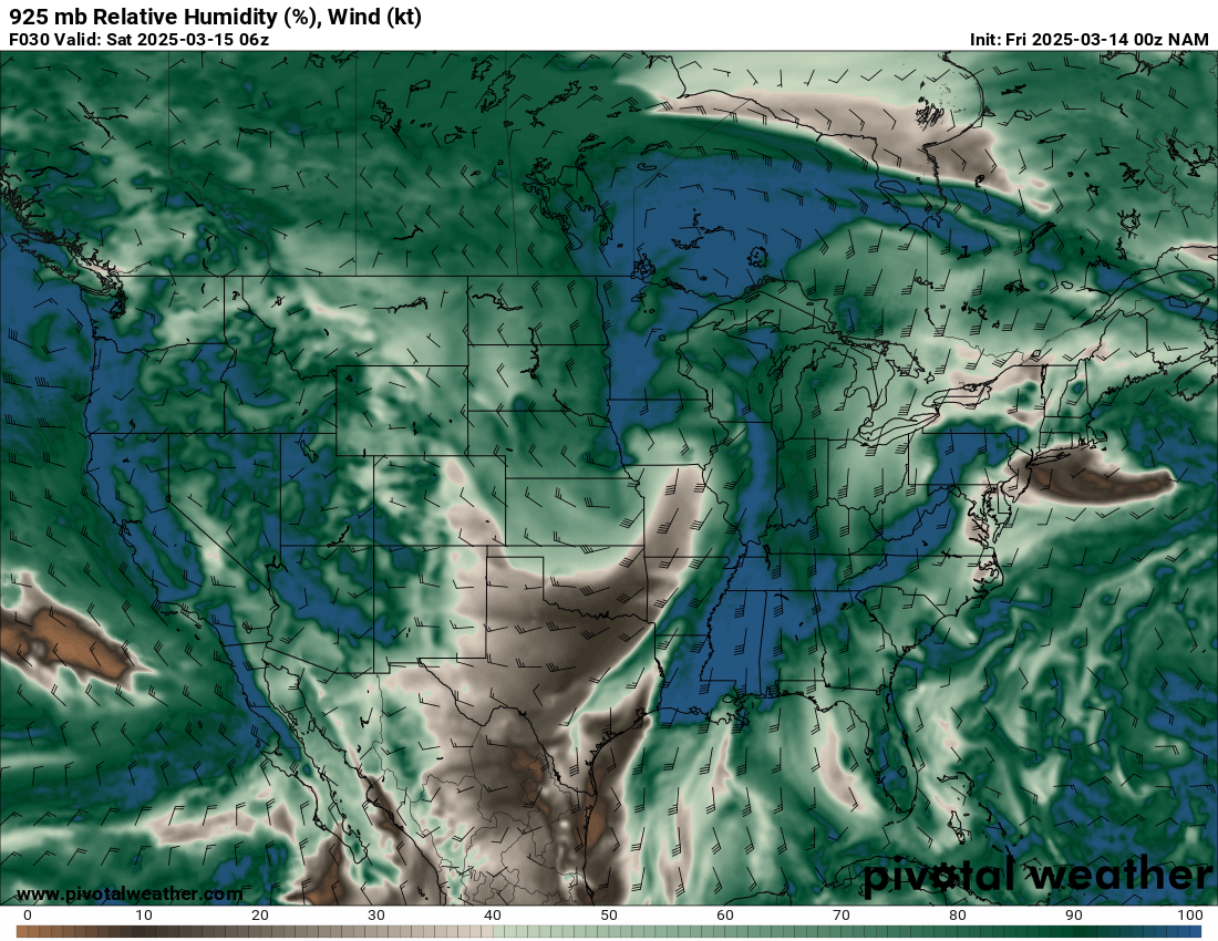
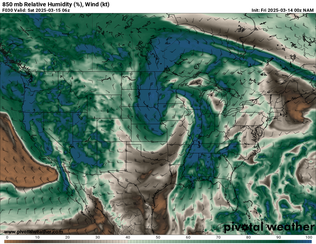
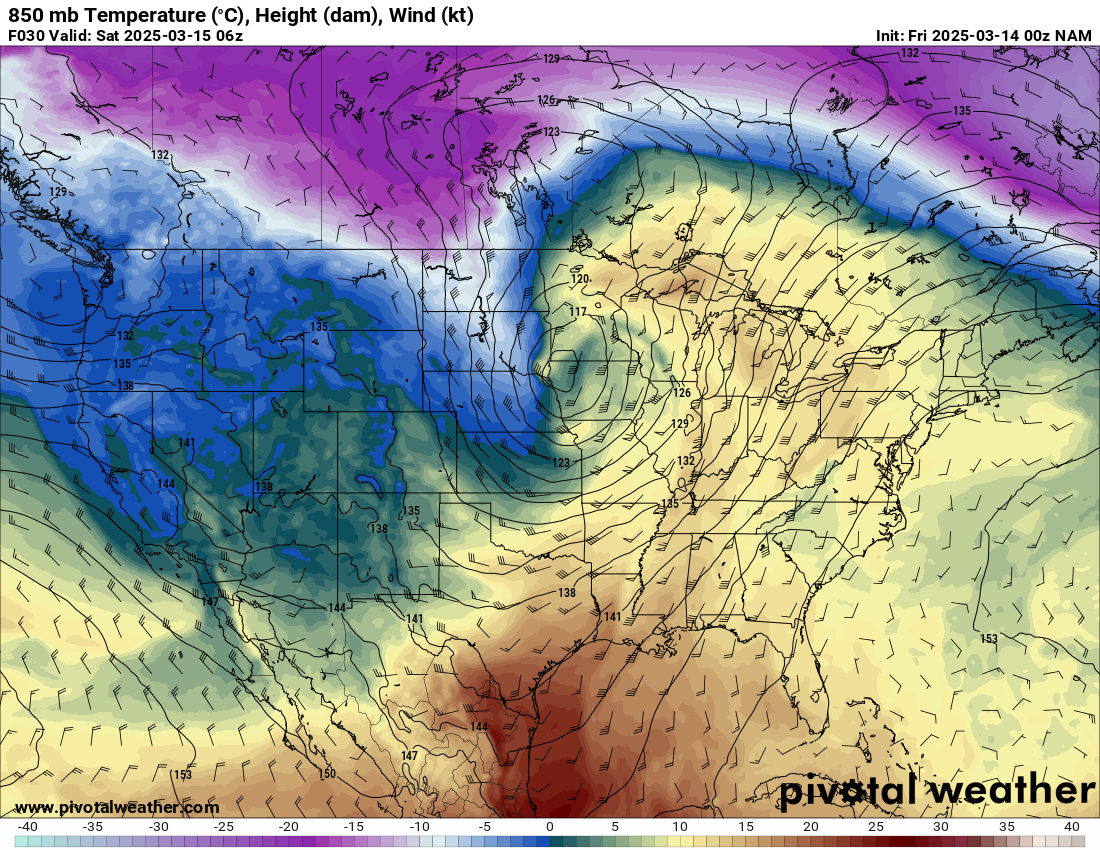
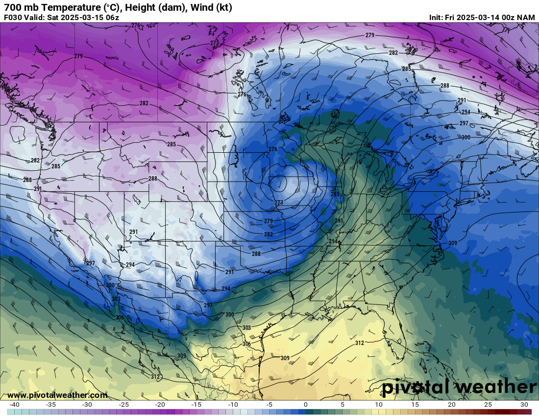
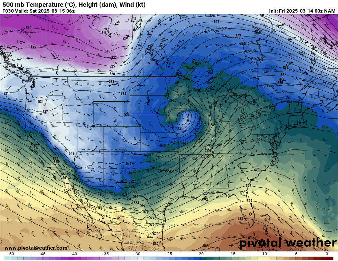
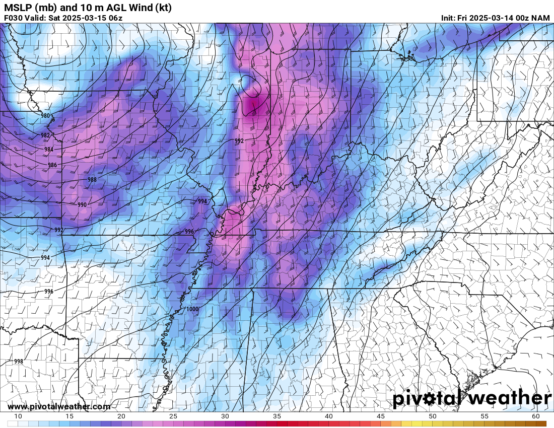
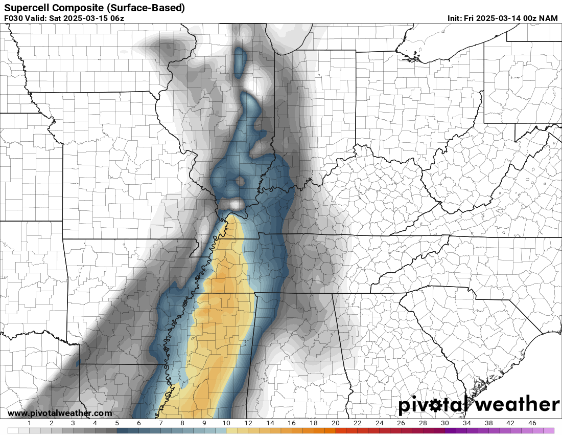
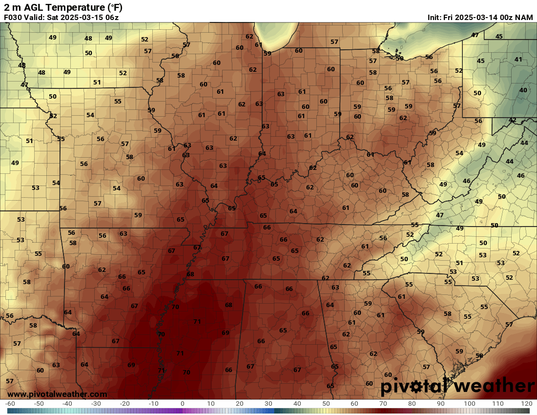
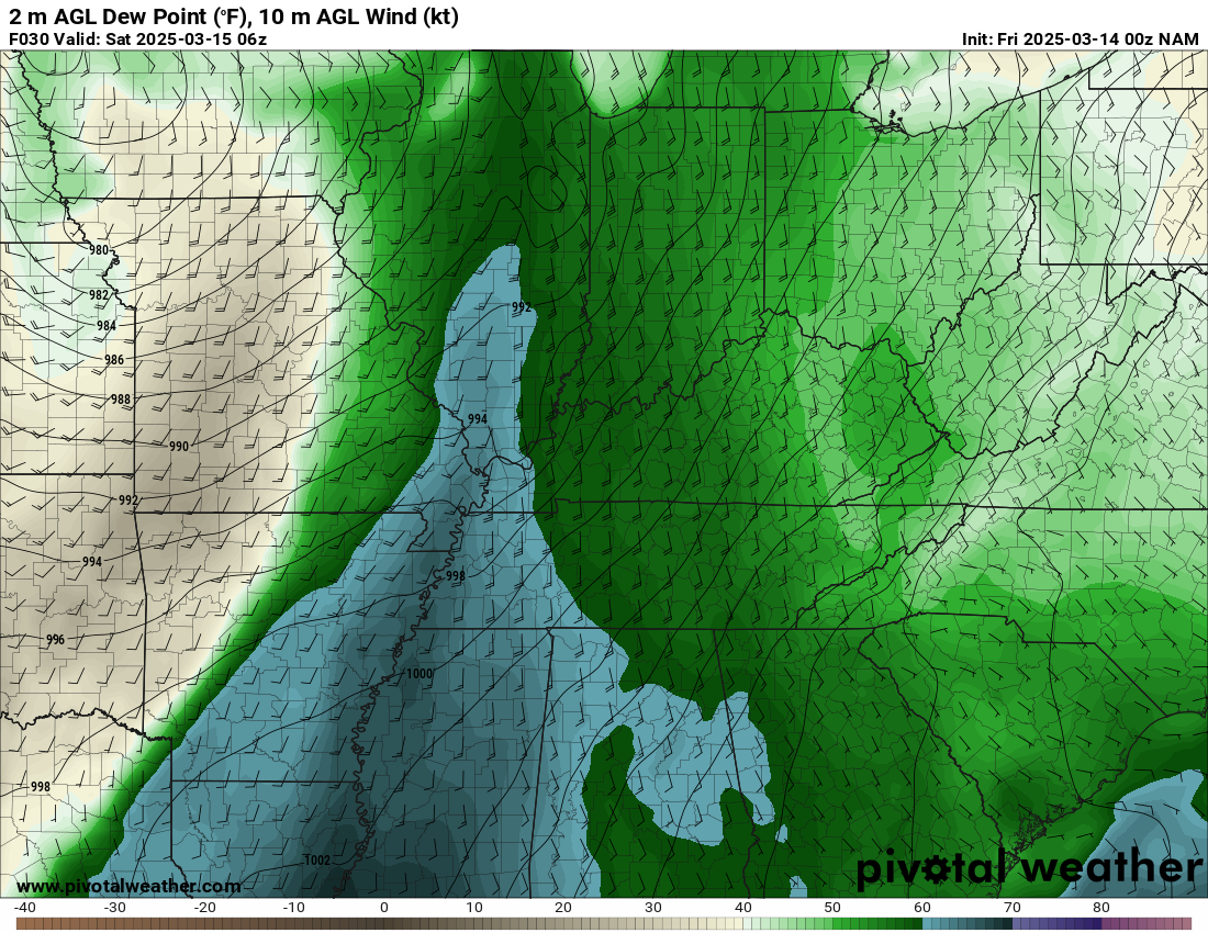
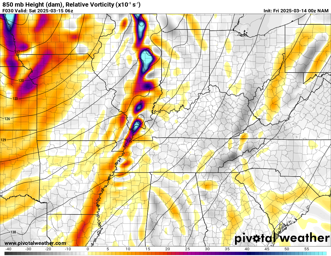
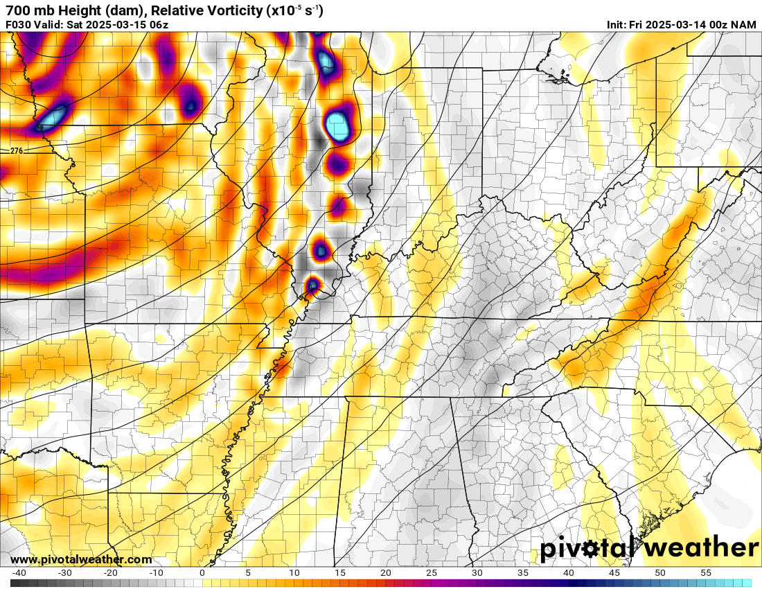
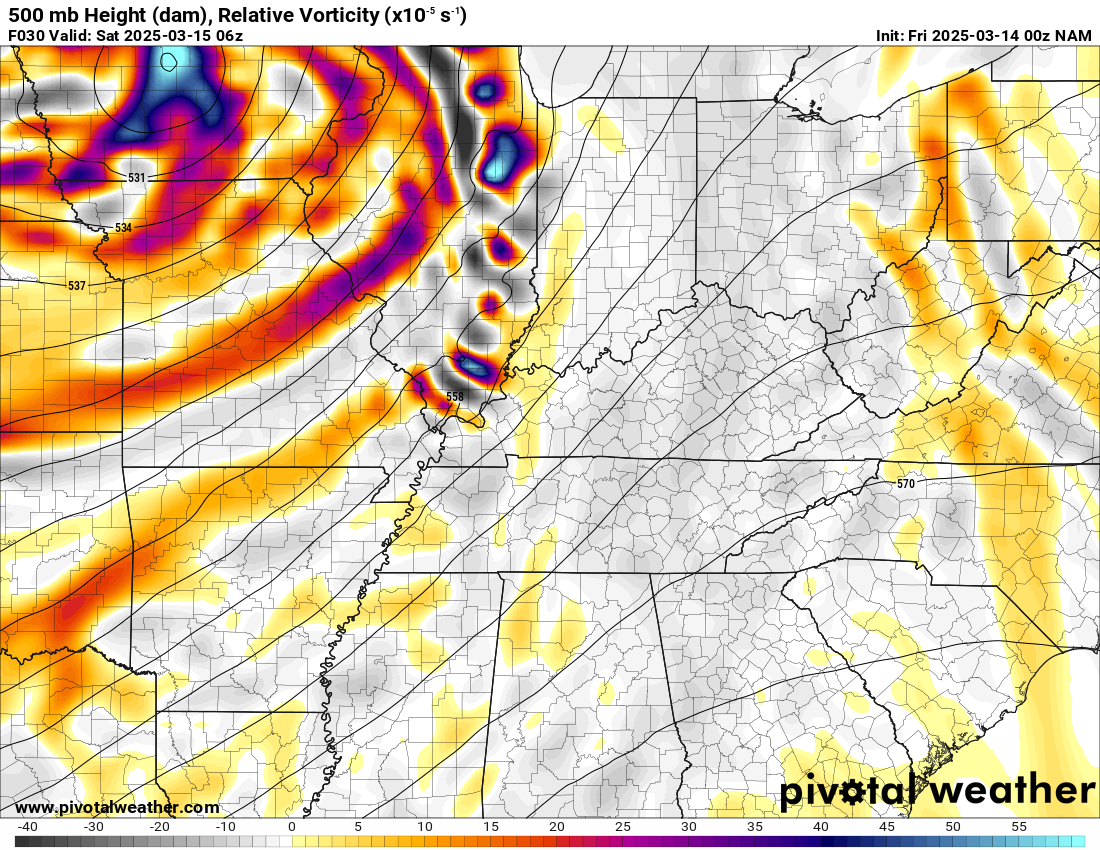
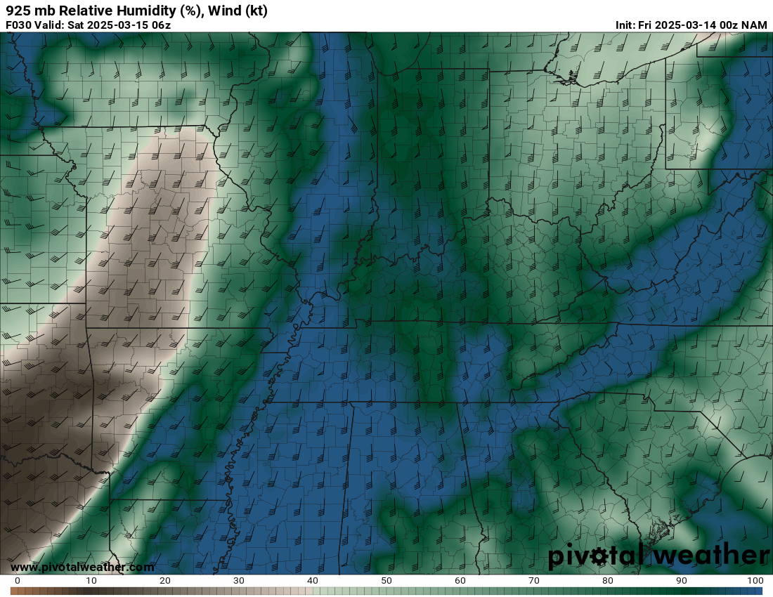
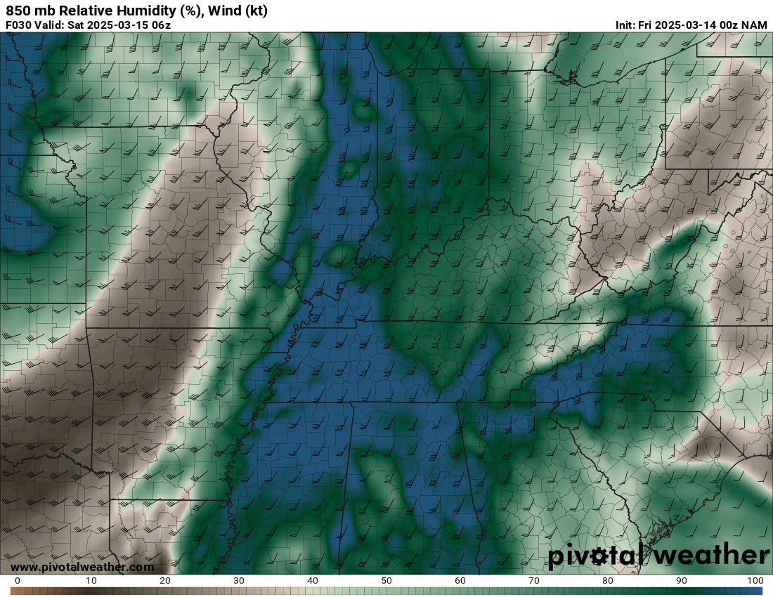
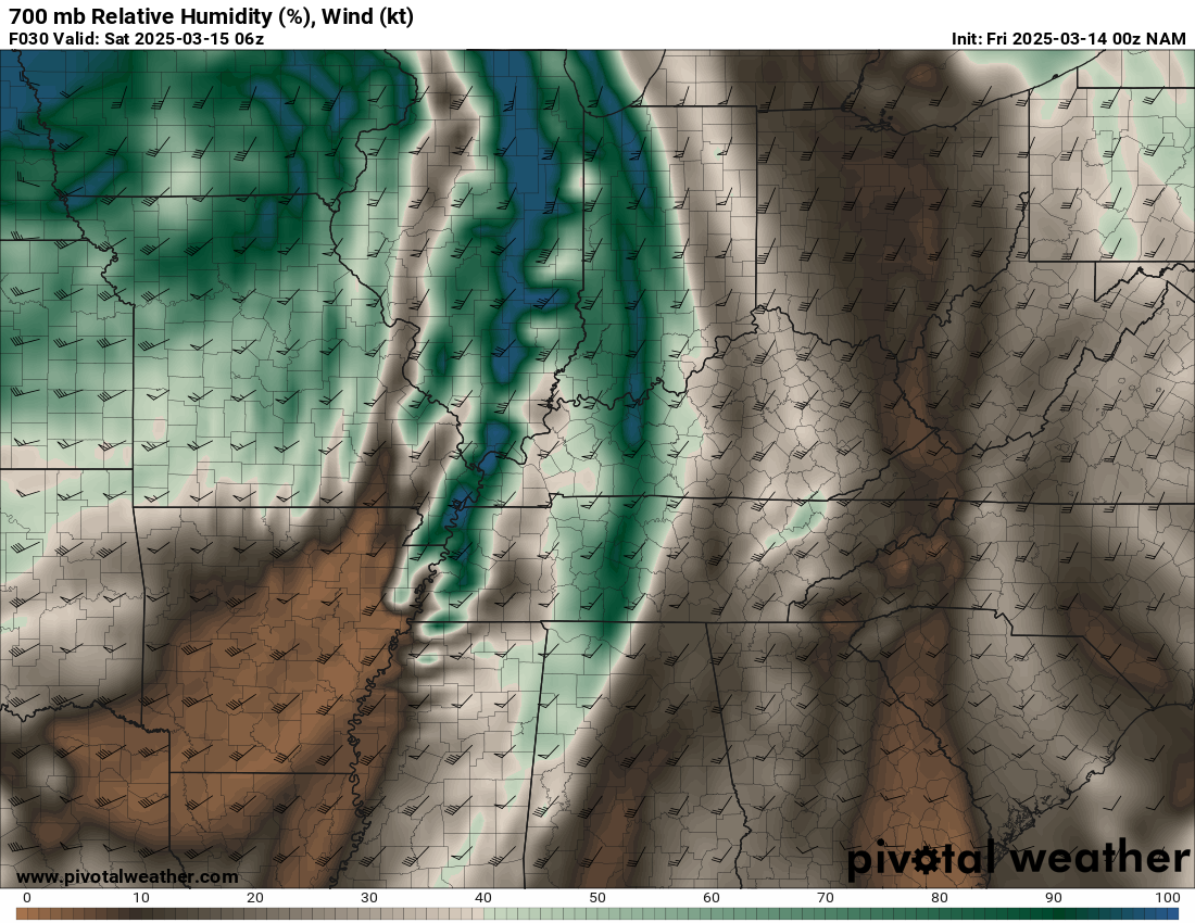
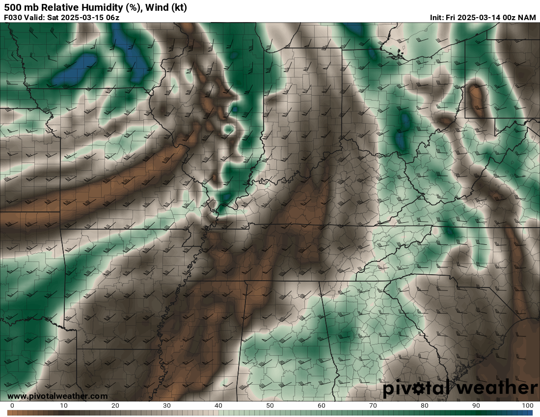
00Z NAM Thursday March 13th

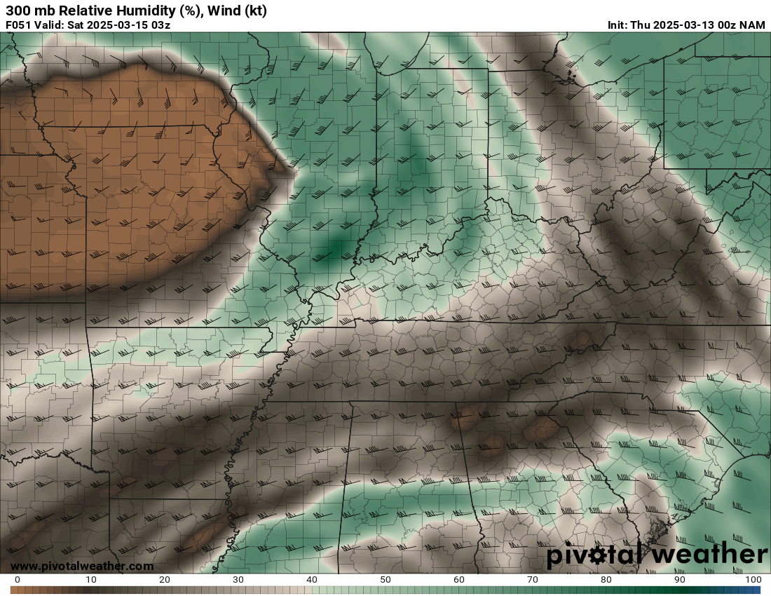
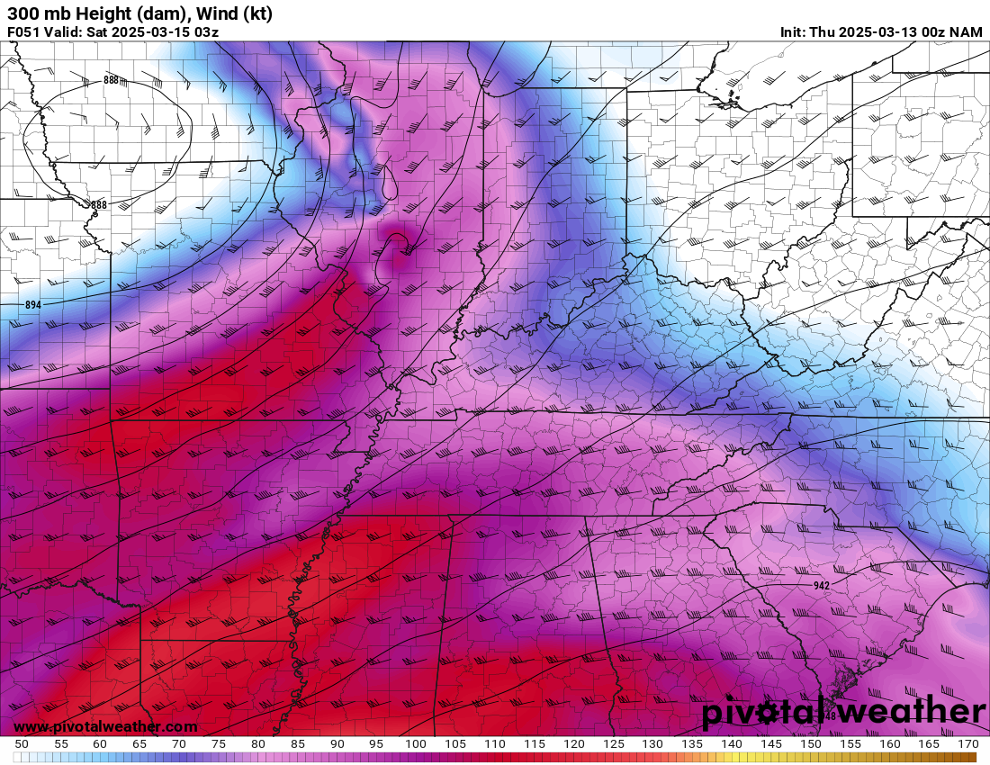
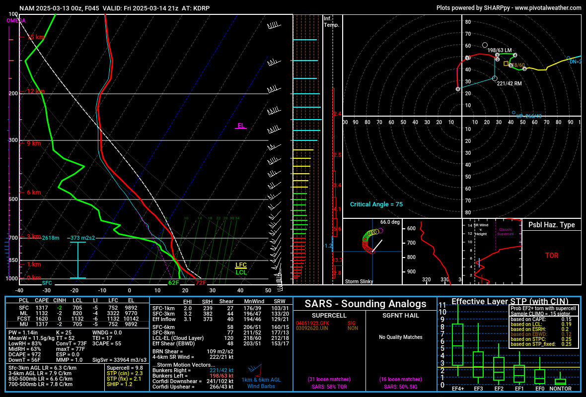
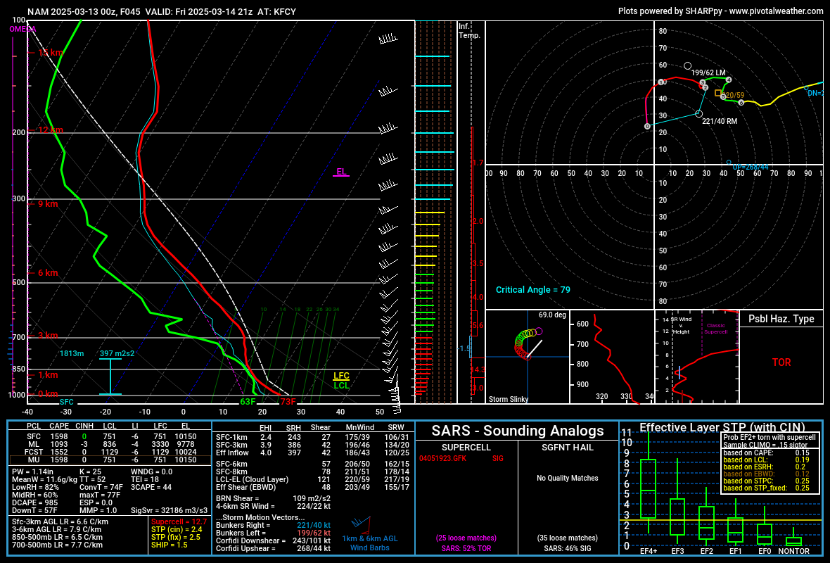
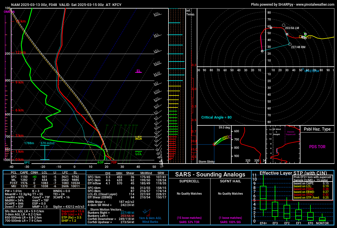
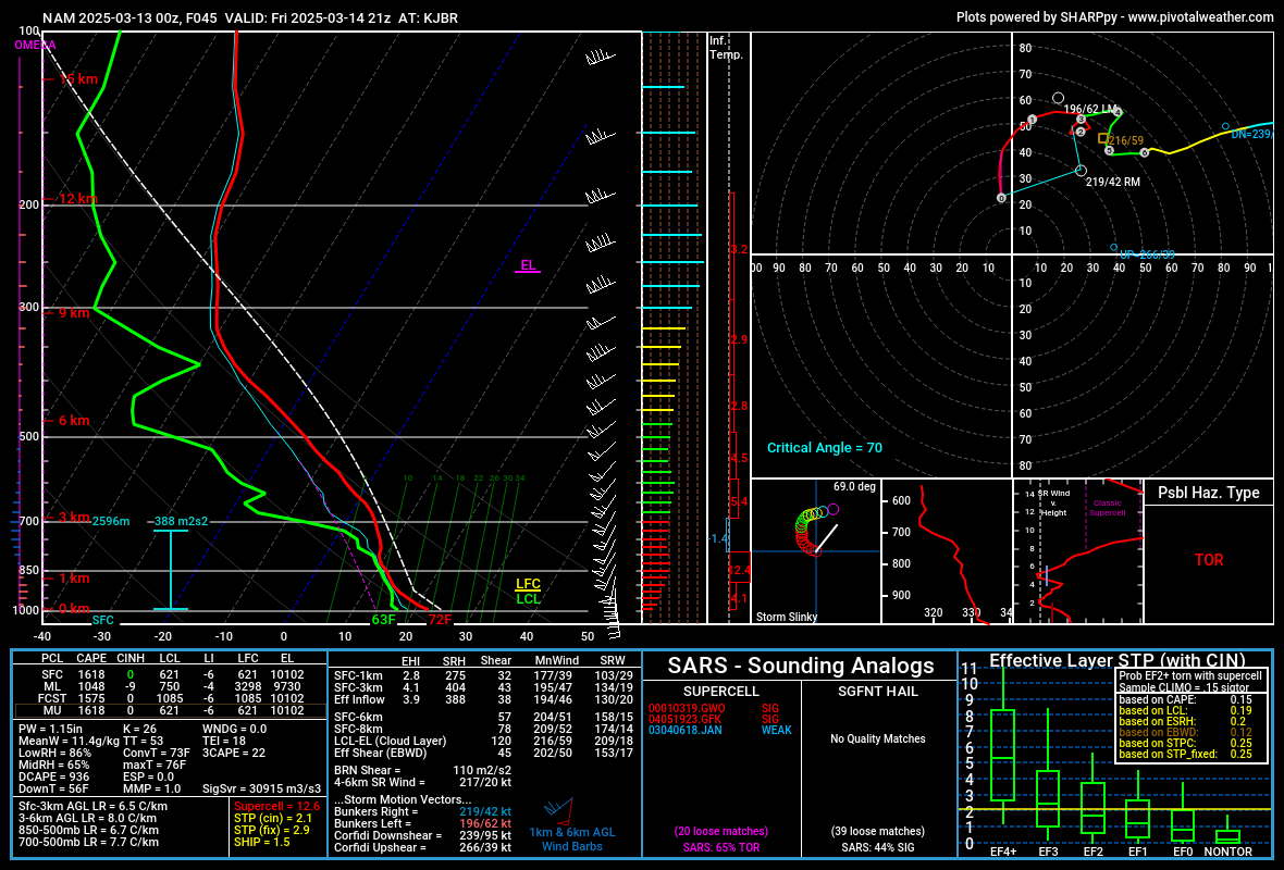
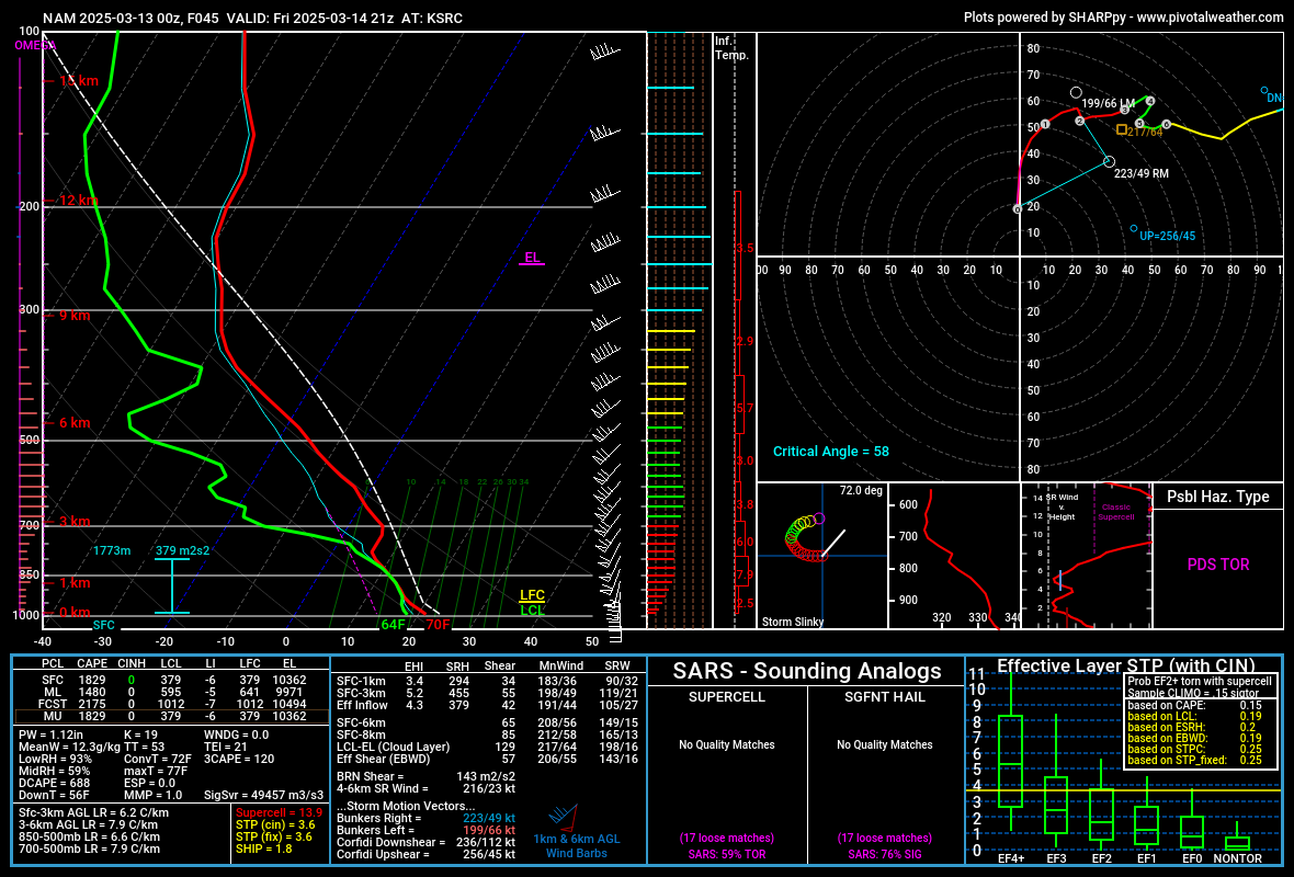
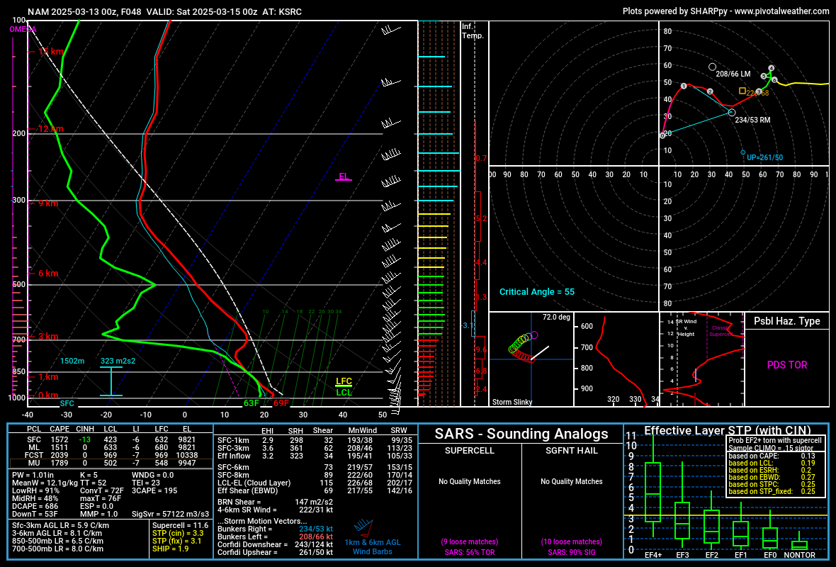
00Z NAM Friday March 14th
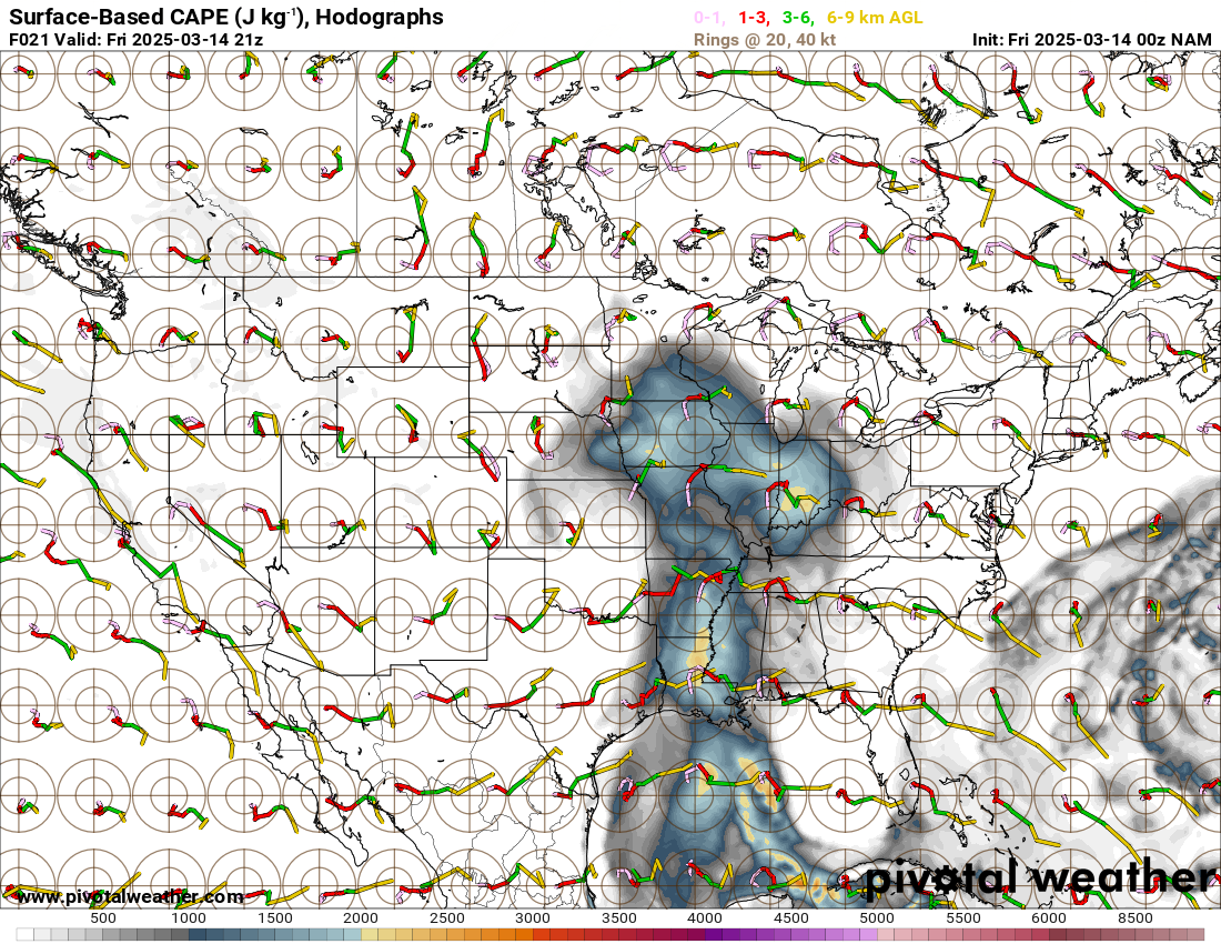
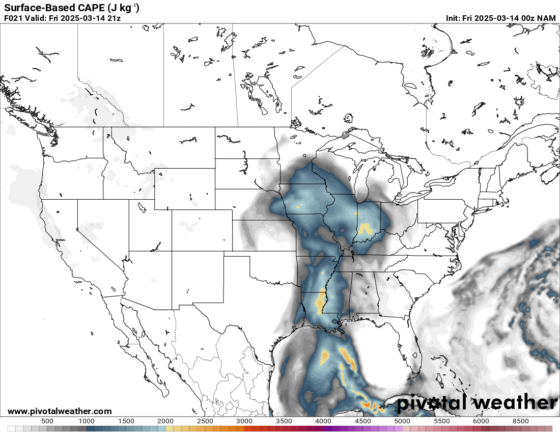
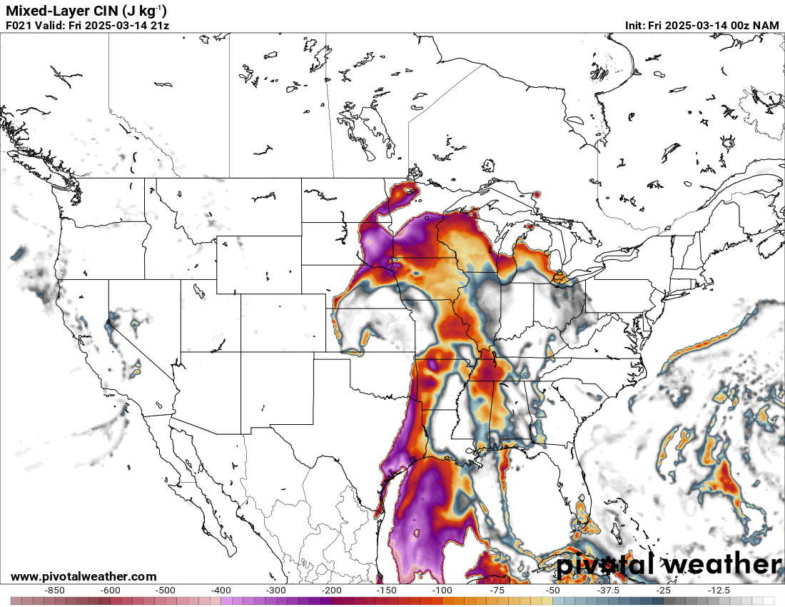
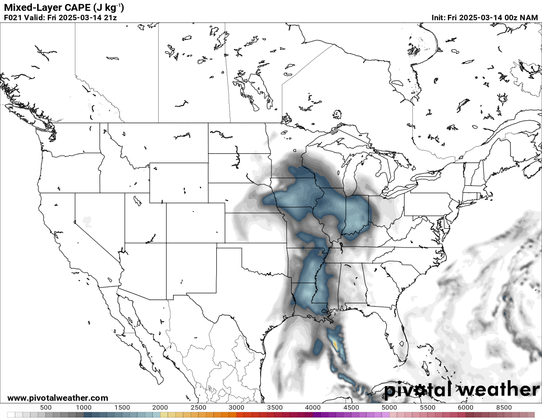
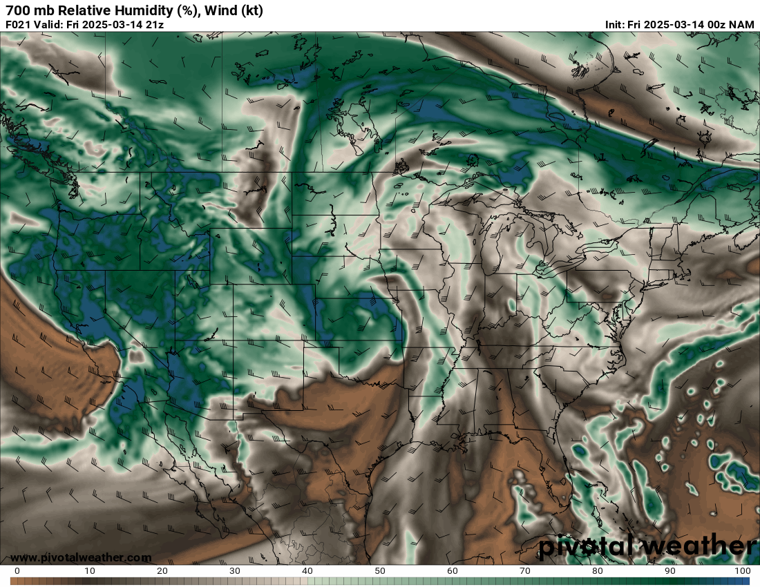
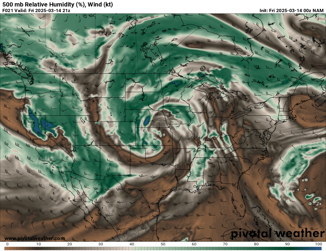
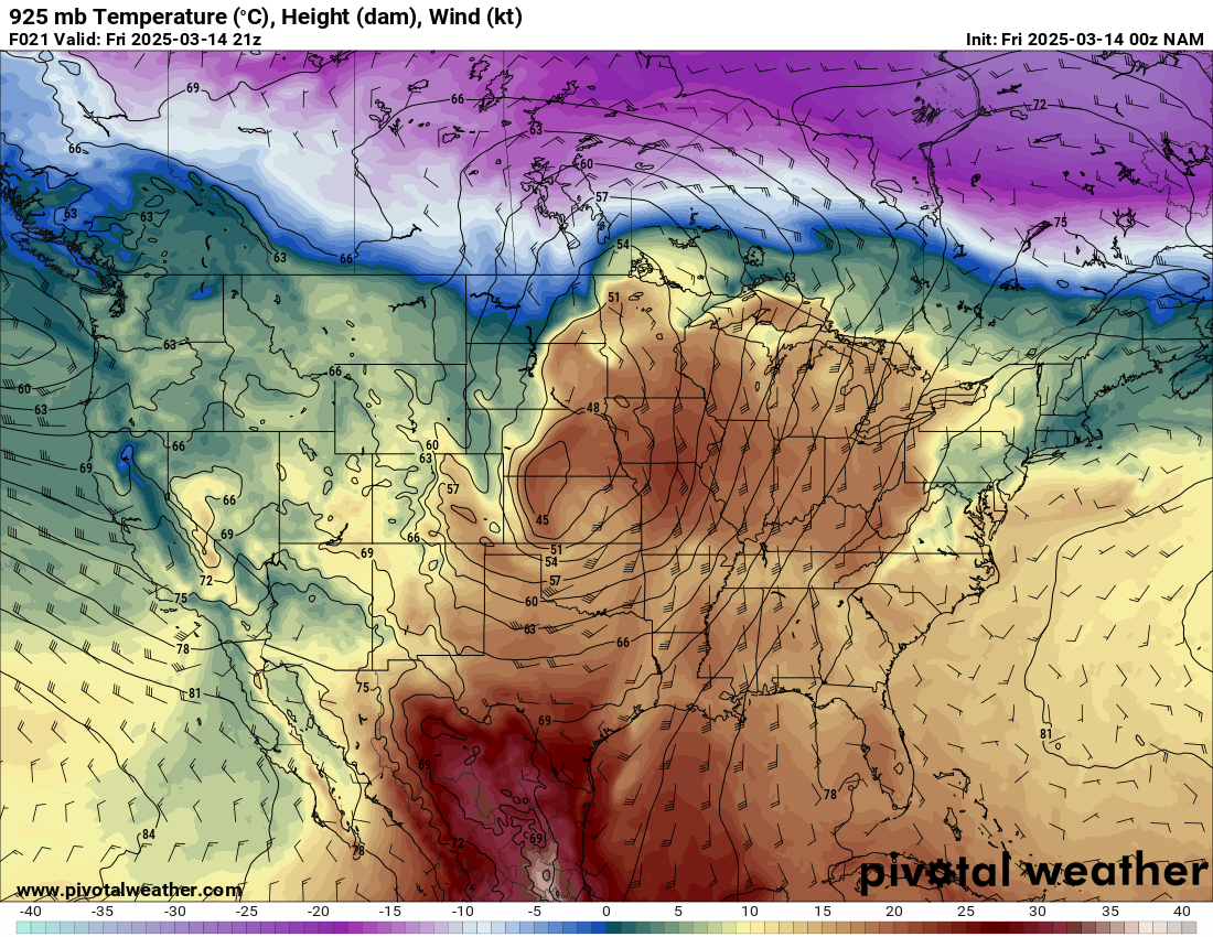
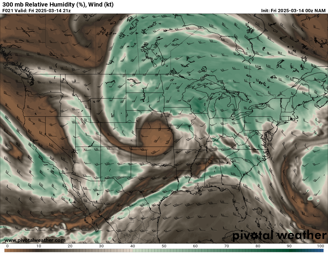
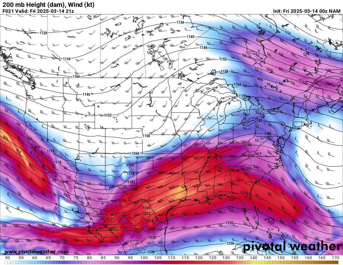
Zoom View
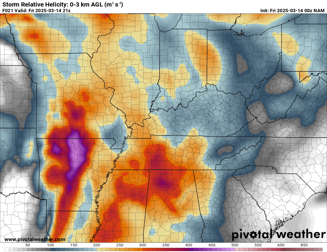
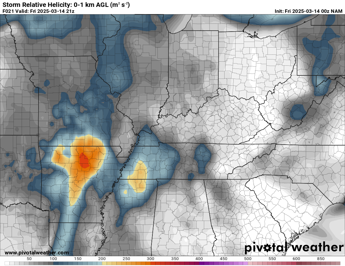
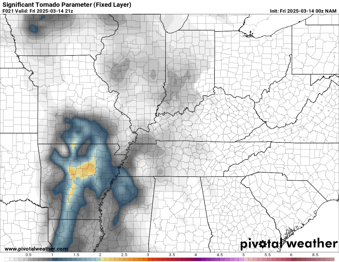
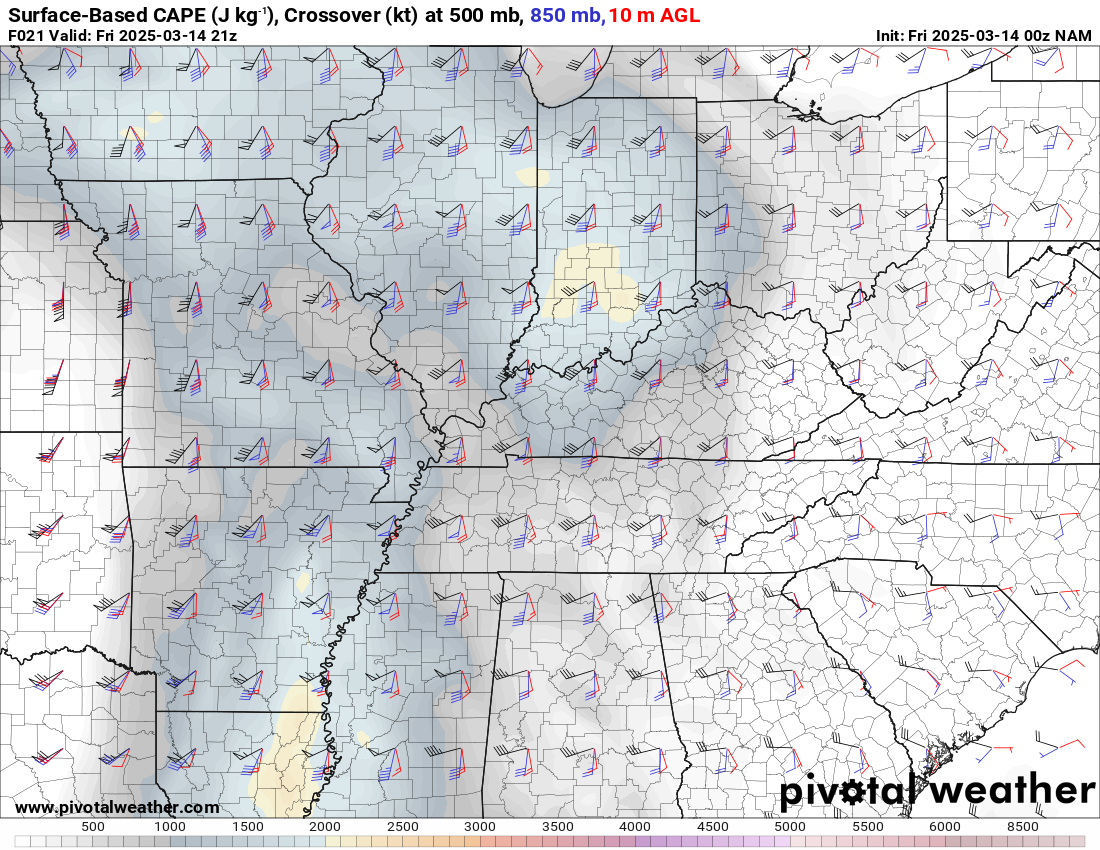
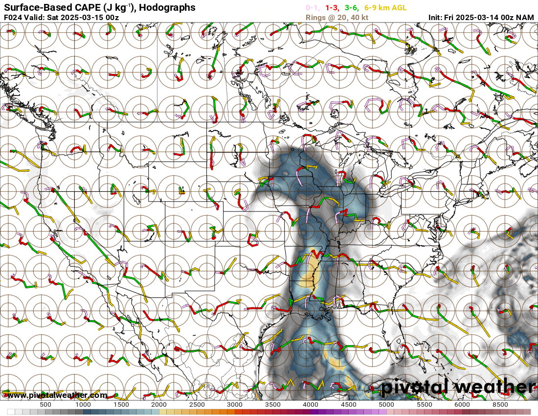
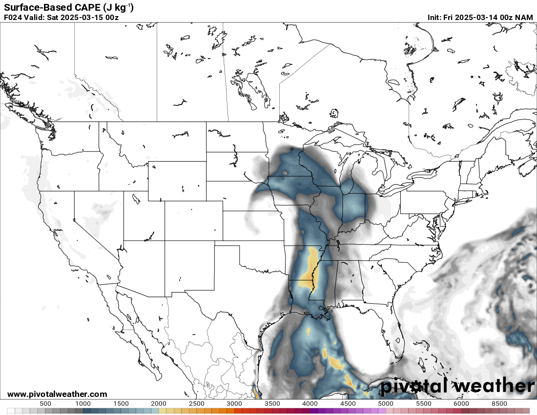
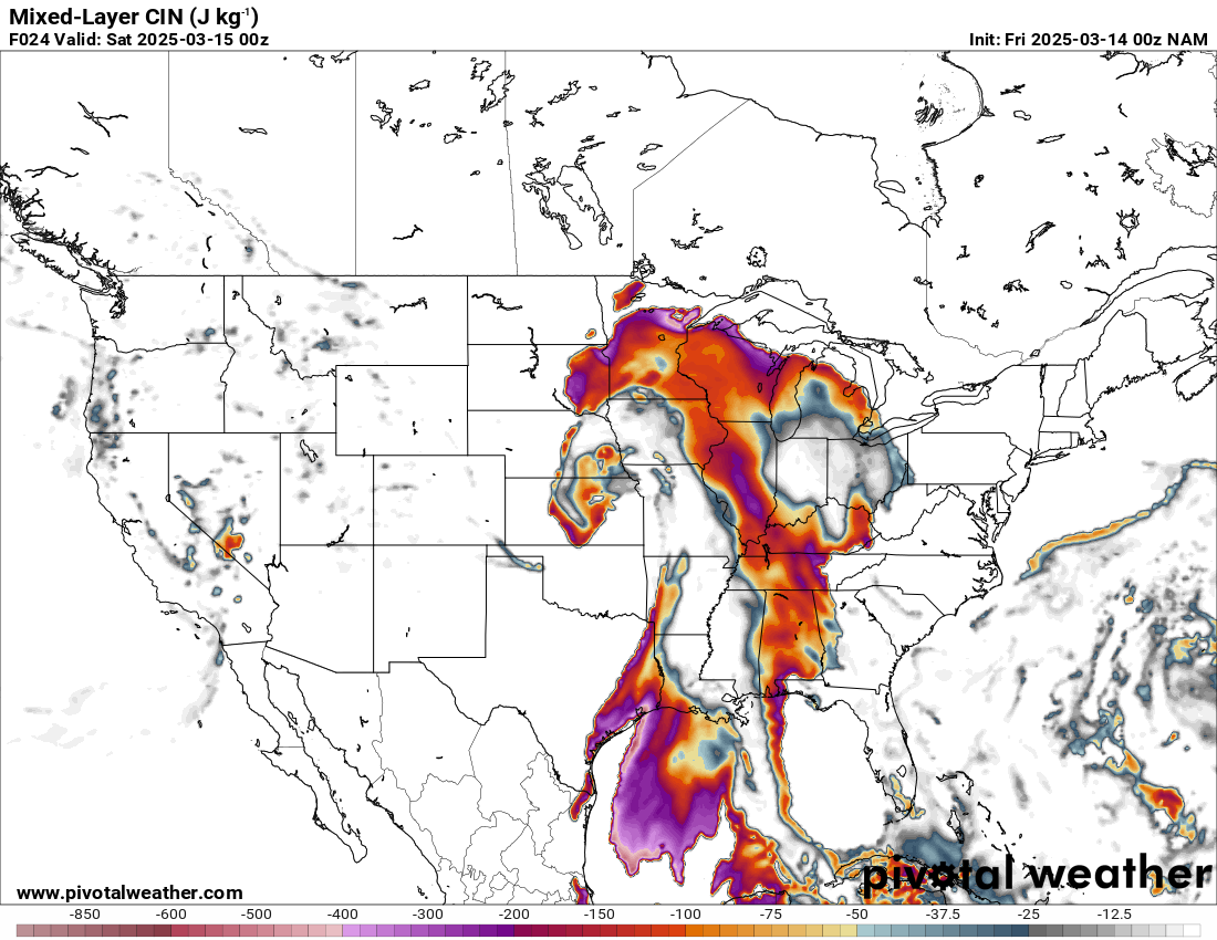
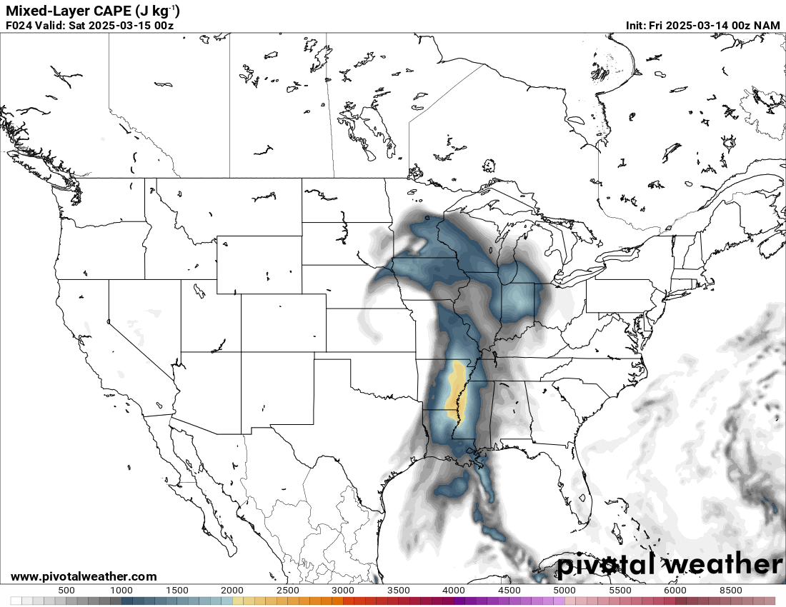
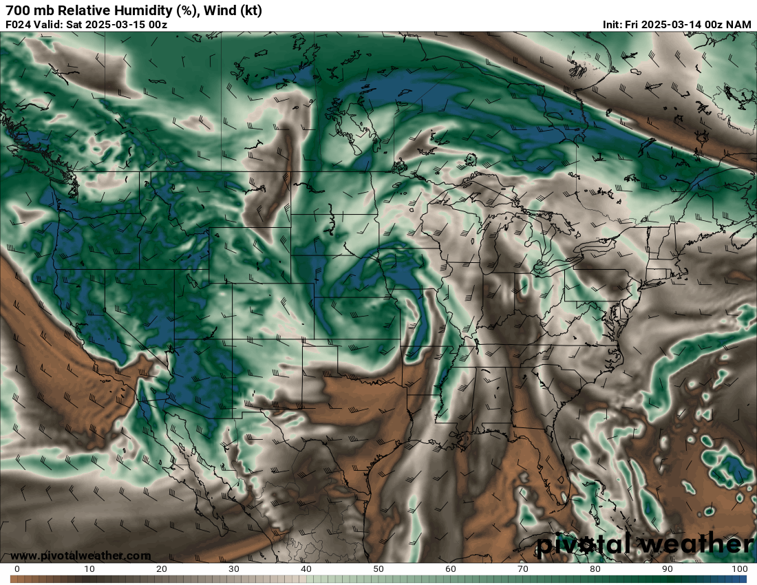
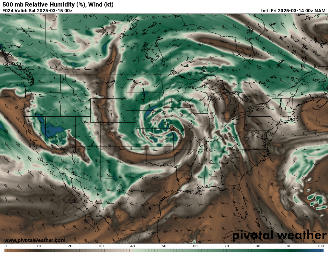
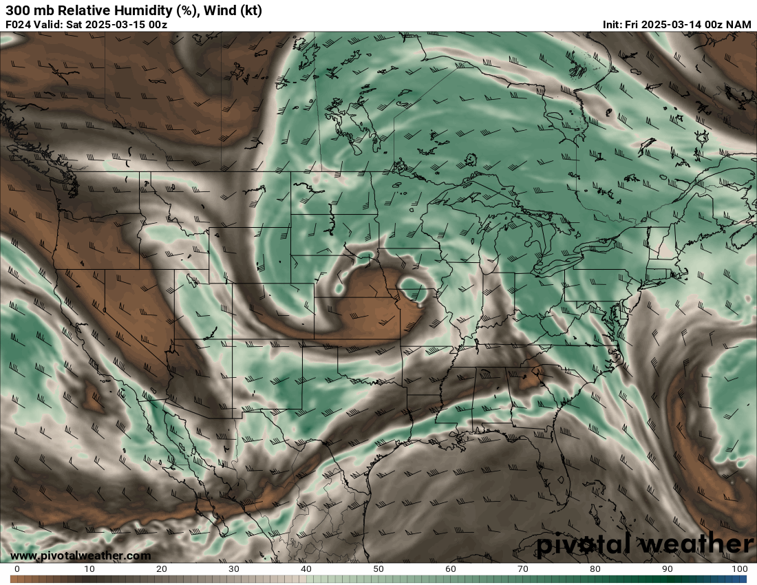
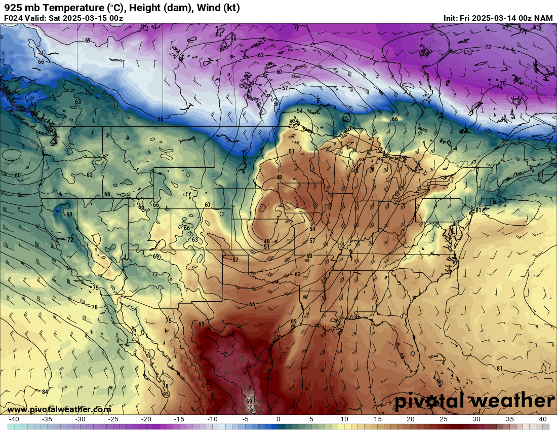
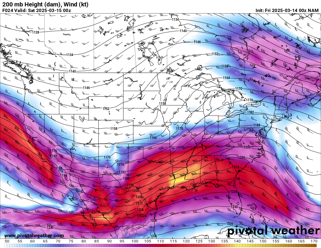
Zoom View
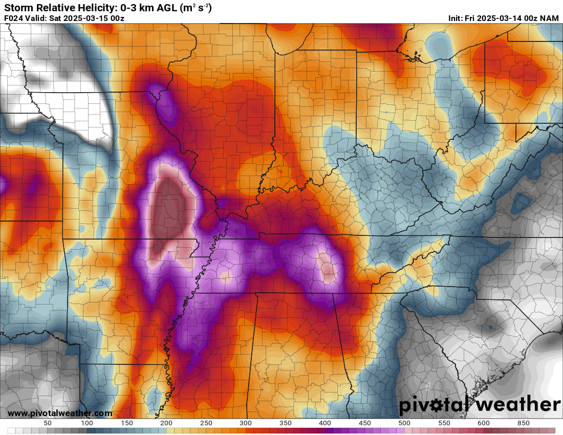
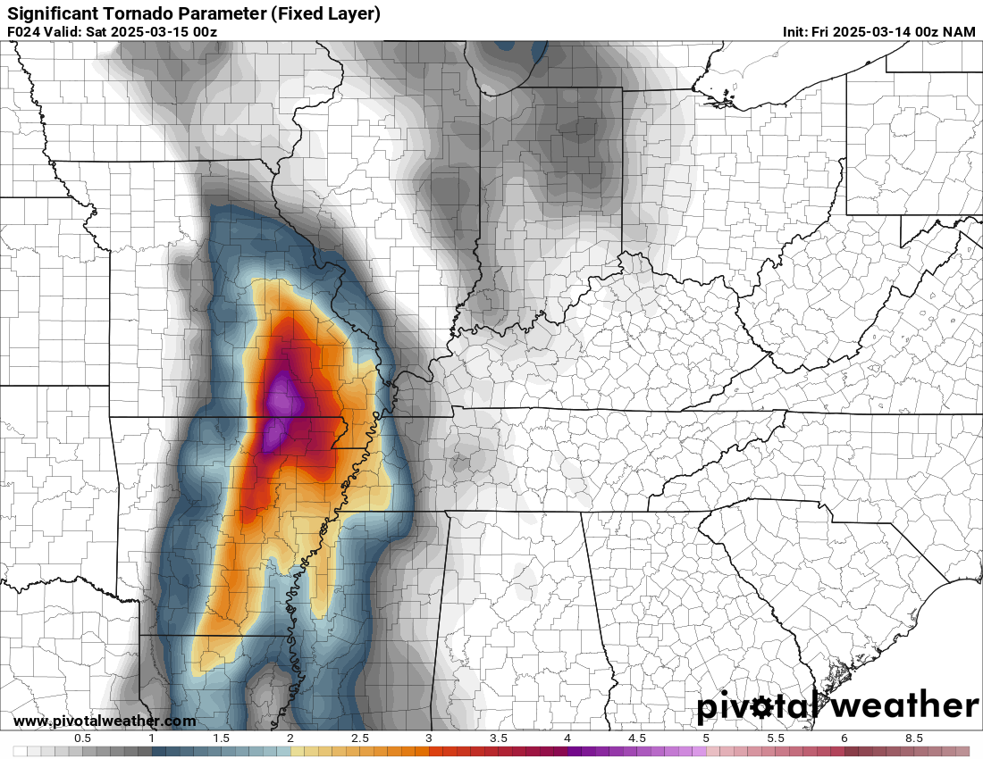
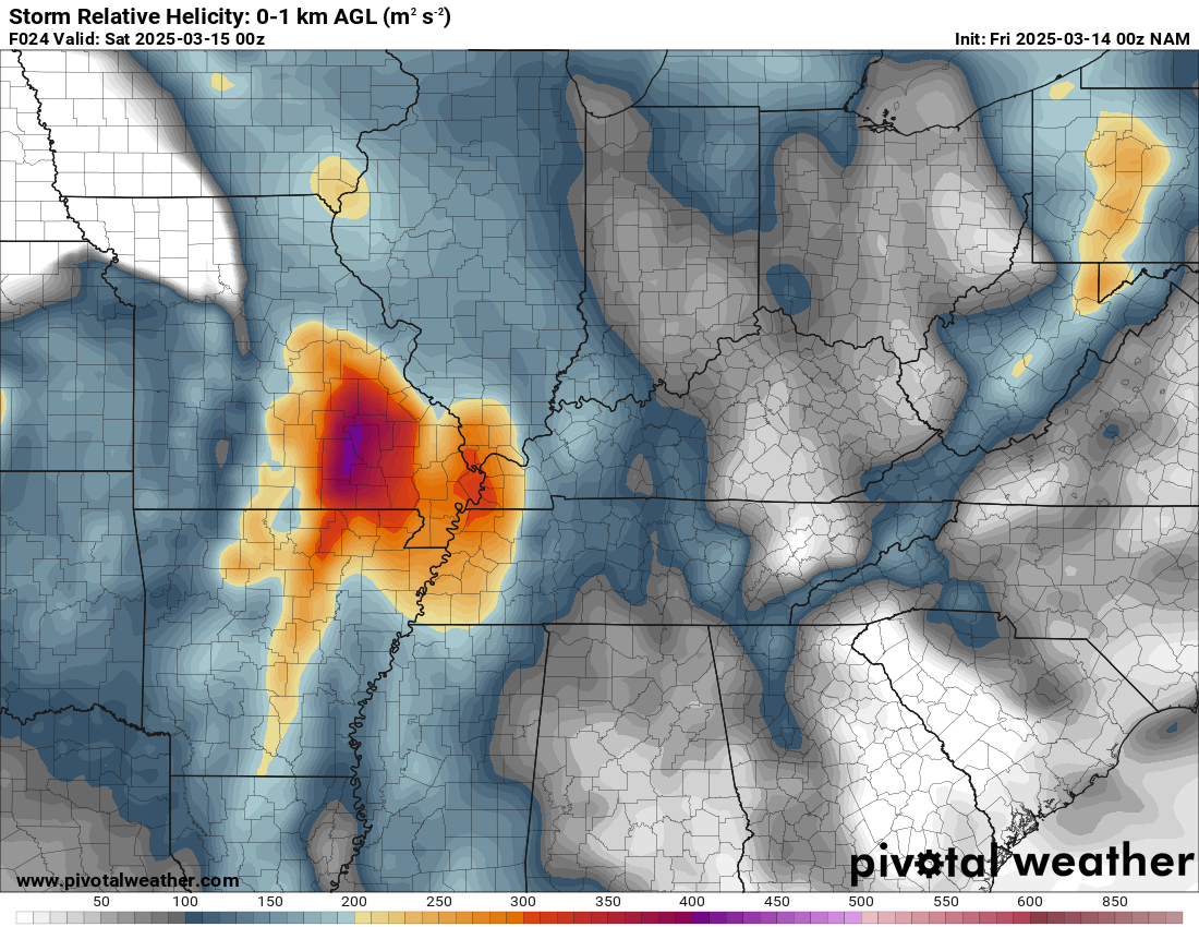
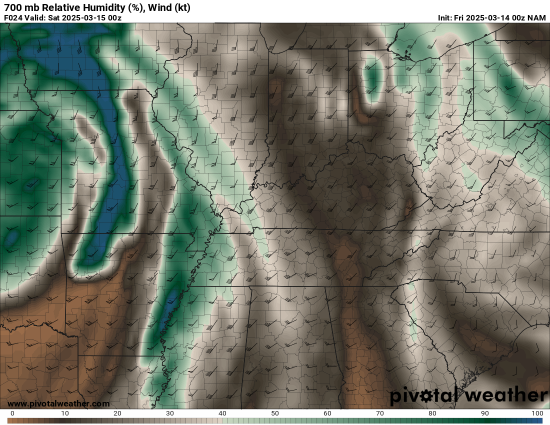
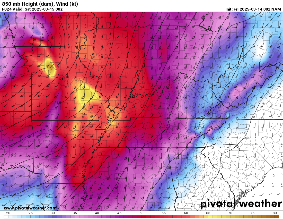
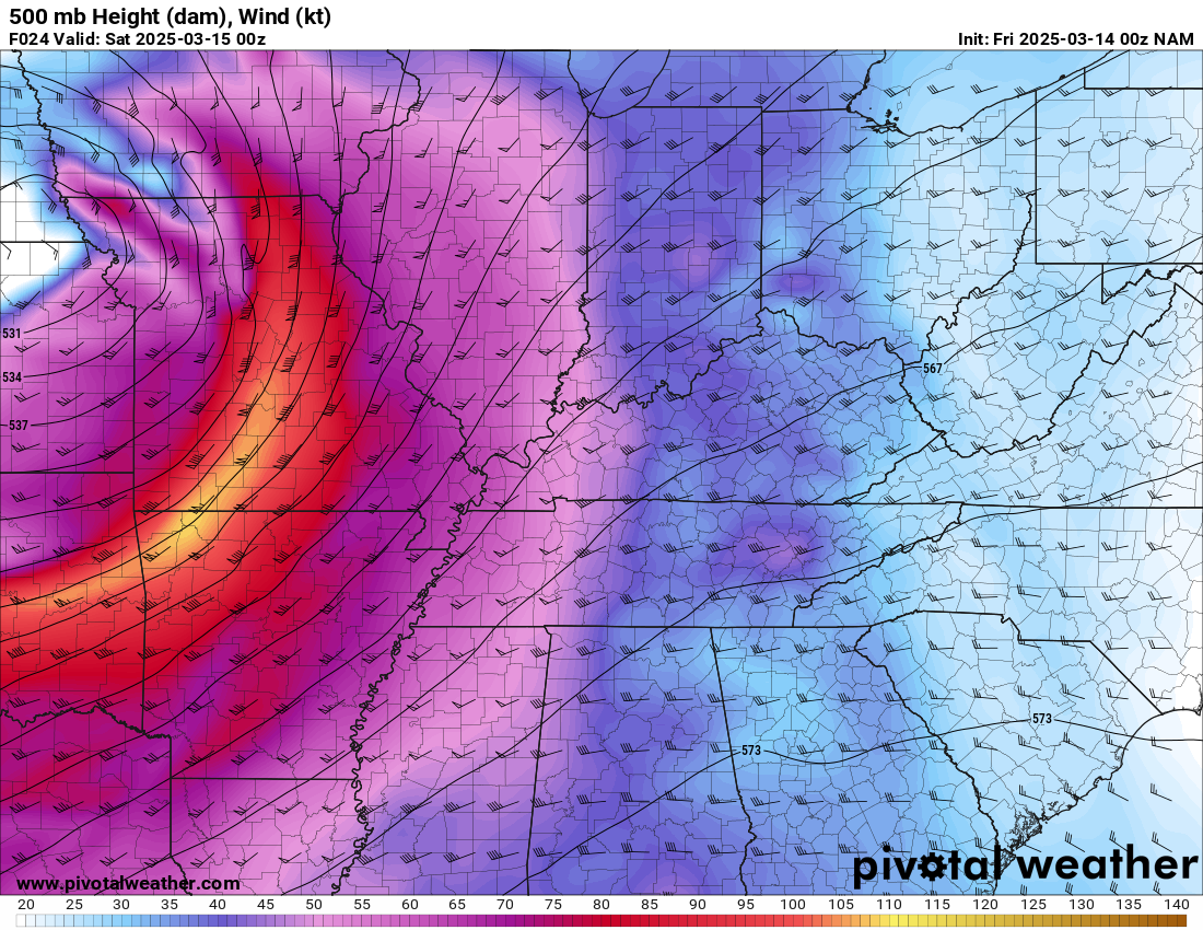
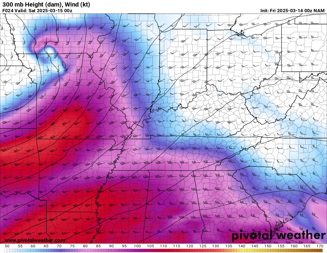
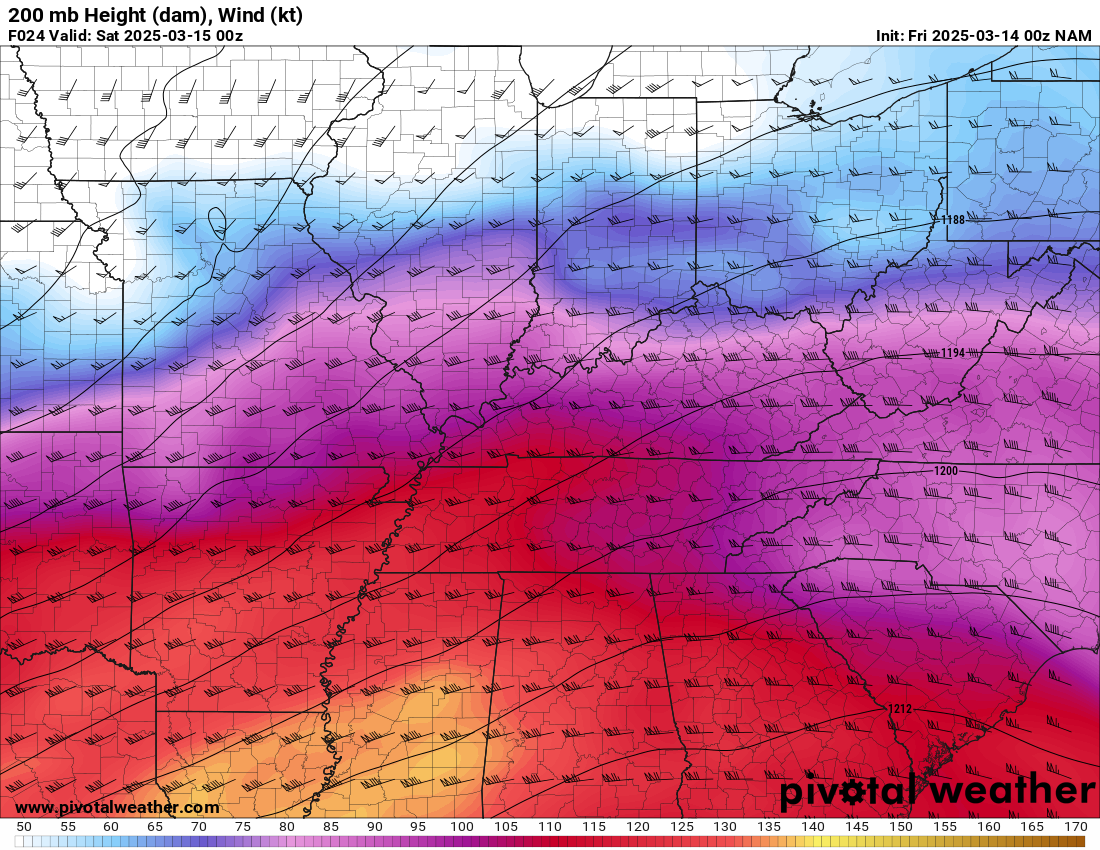
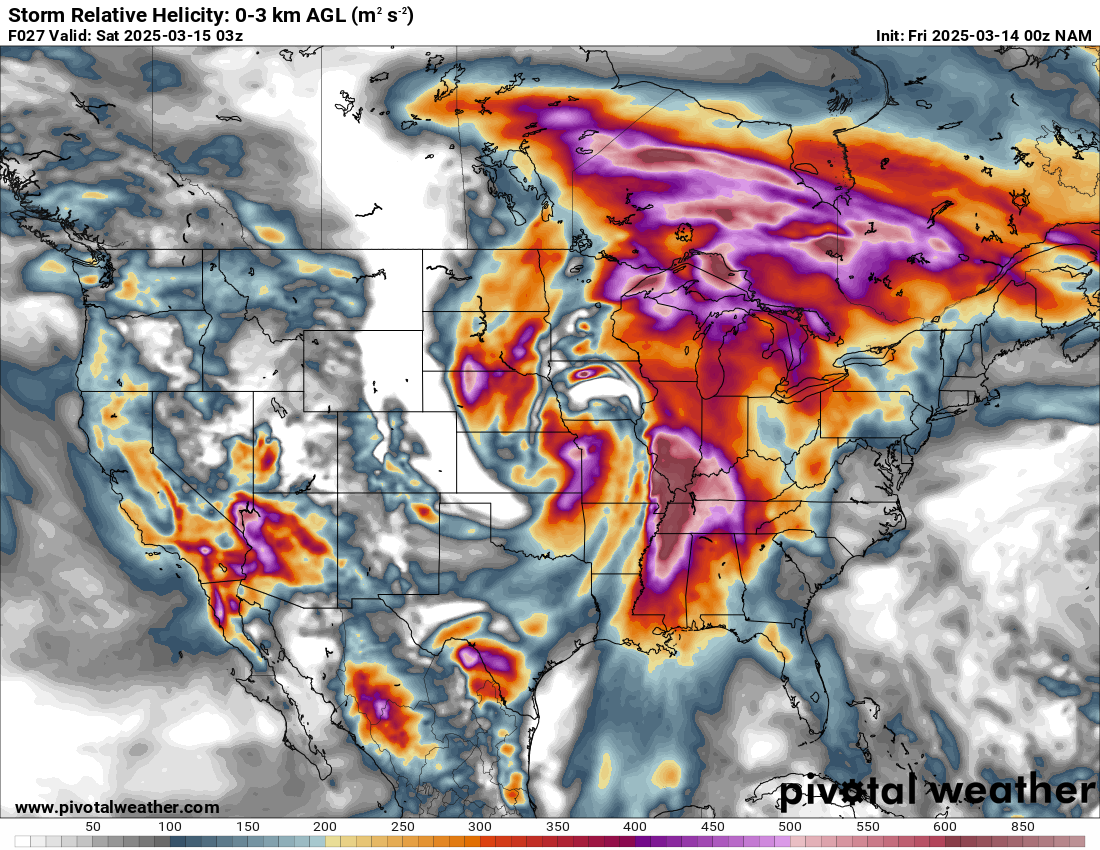
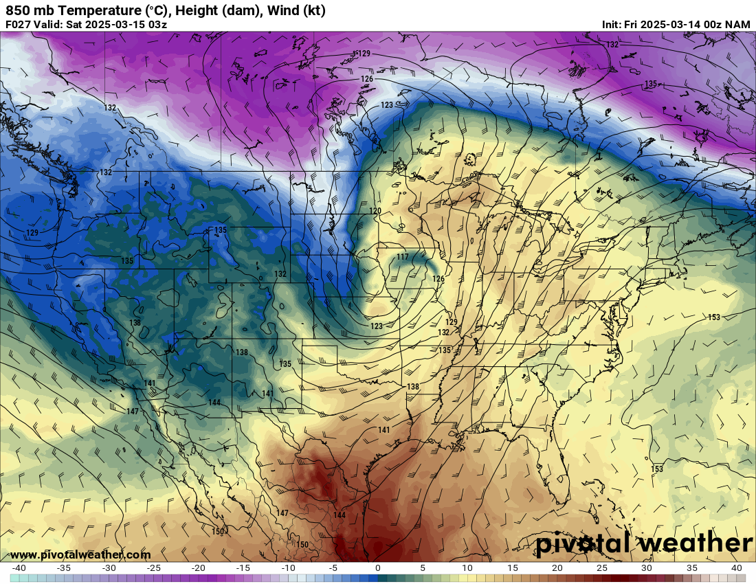
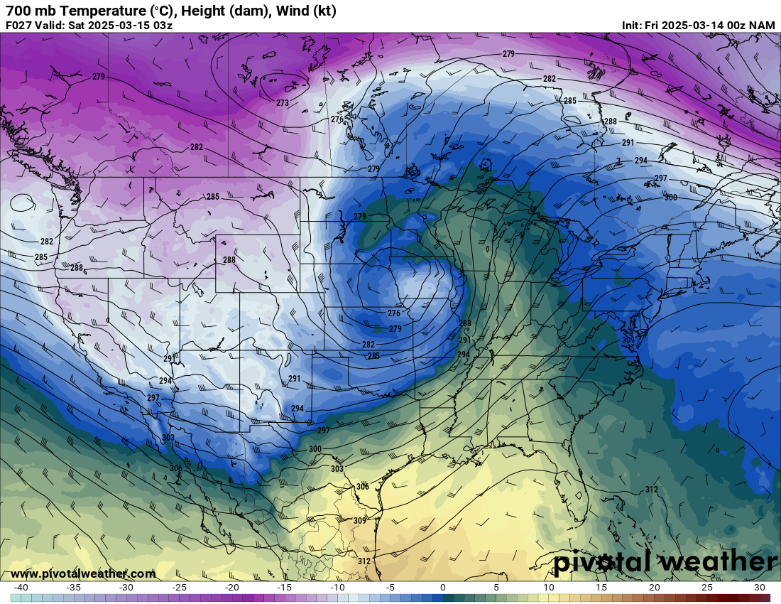
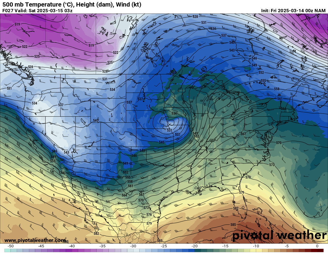
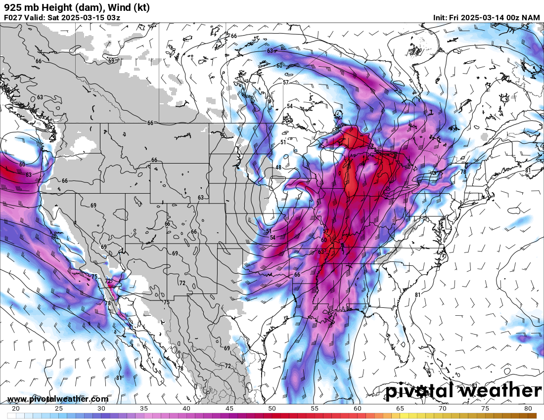
Zoom View
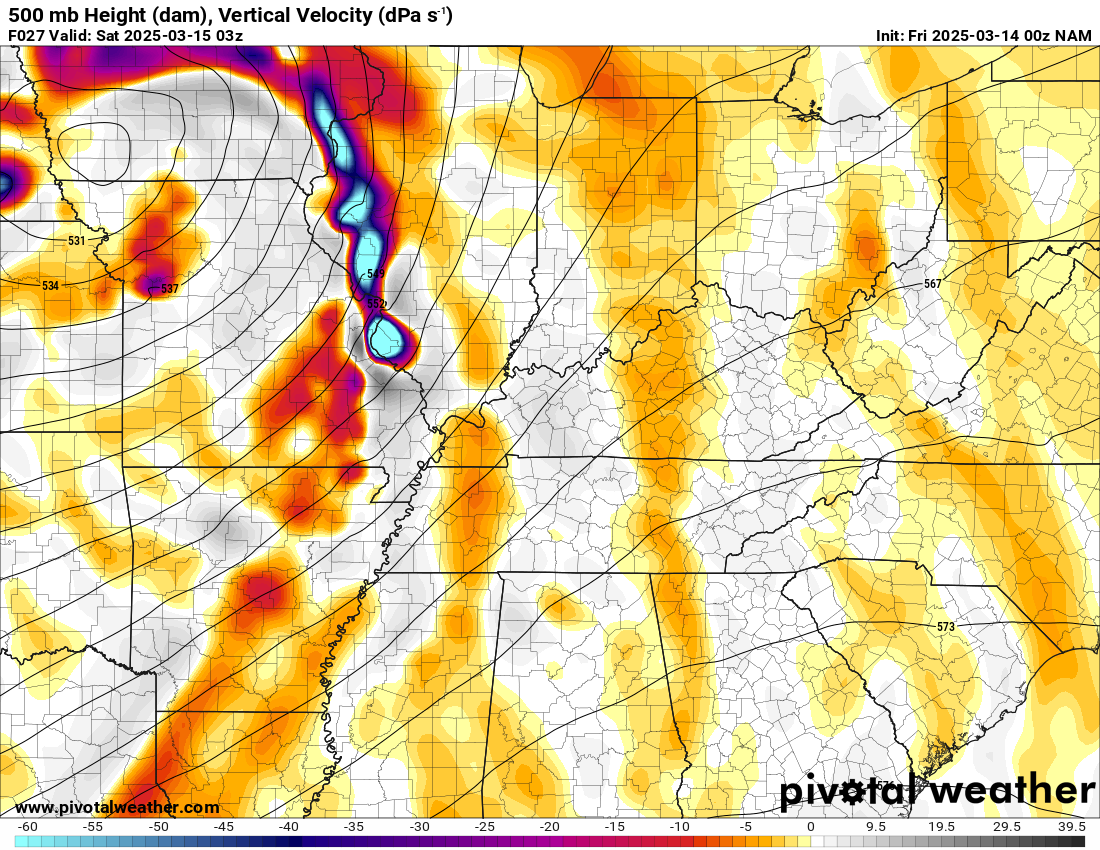
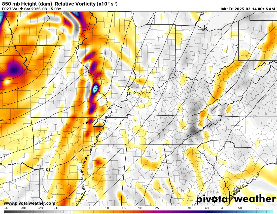
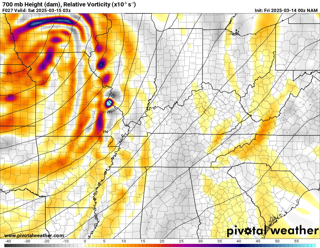
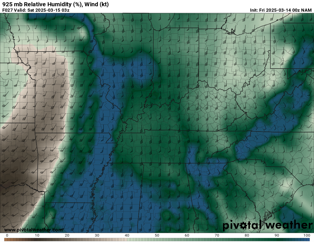
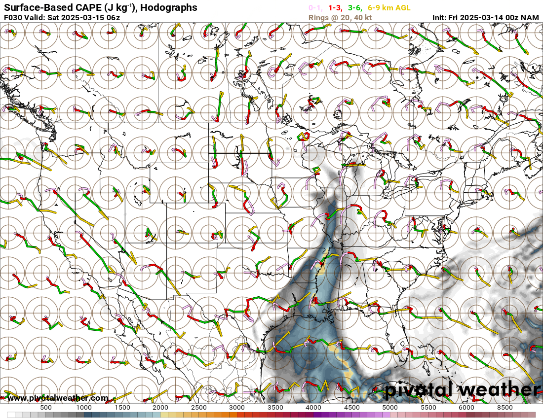
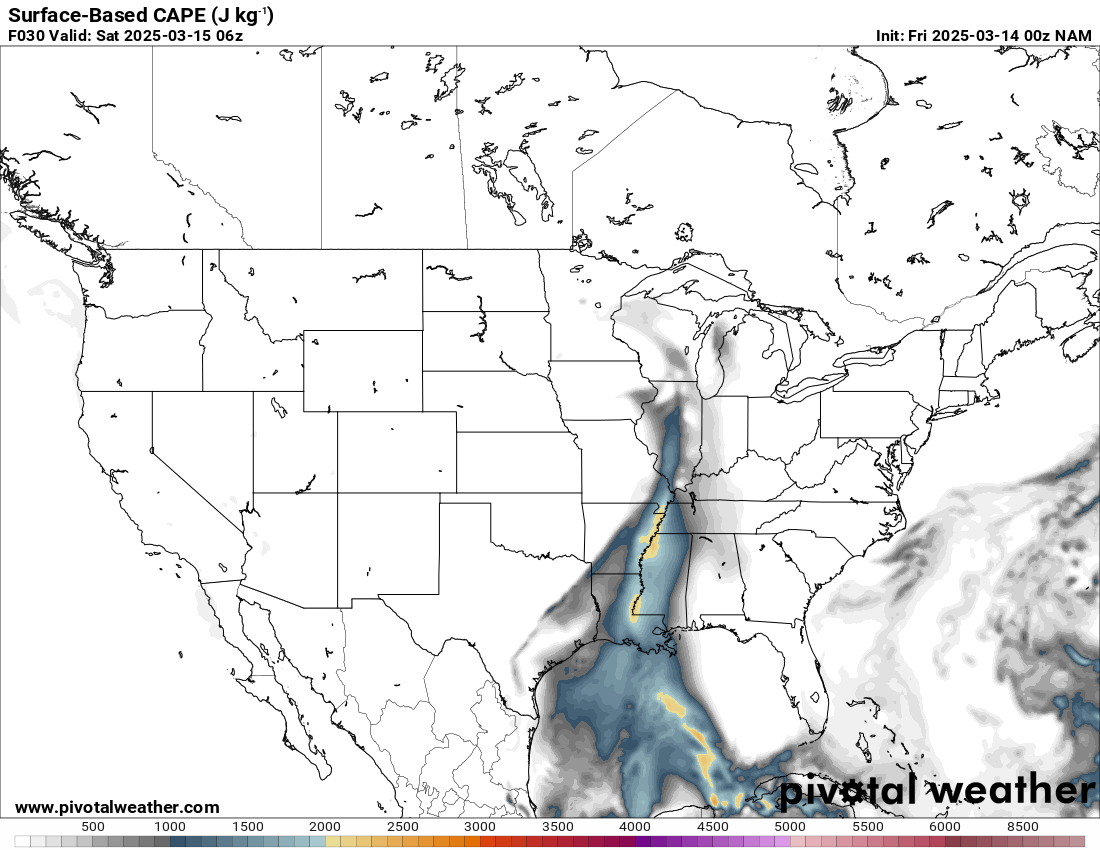
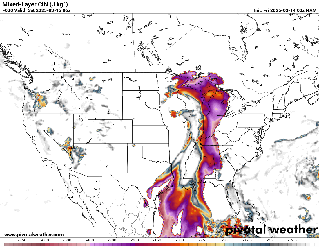
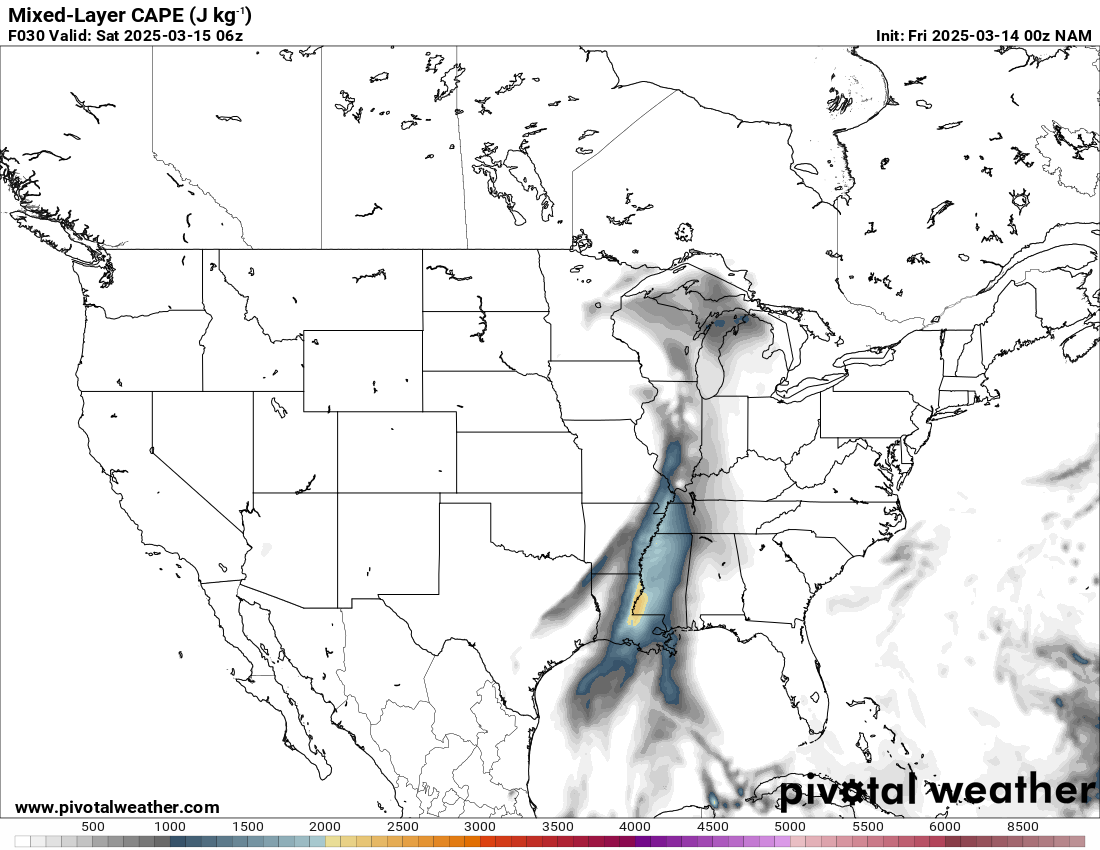
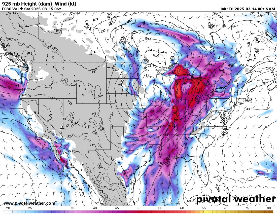
Zoom View
Departing Oklahoma City
We were on the road by 8 am for the trip east to Arkansas. Timing on the models seemed like it would be after dark, but I did not want to be late. We ever came across a line of convection on our way through eastern Oklahoma. It was moving pretty fast, and I was worried it may fire convection early in Arkansas. I also had a hard time keeping up with data on the road without my laptop.
Heading into Arkansas
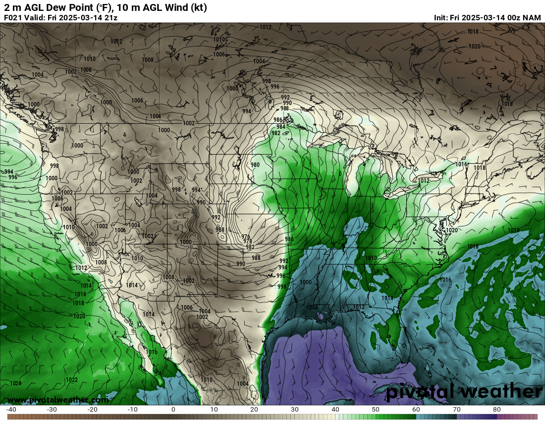
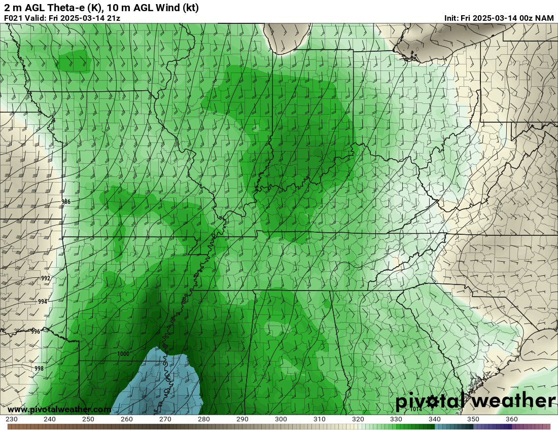
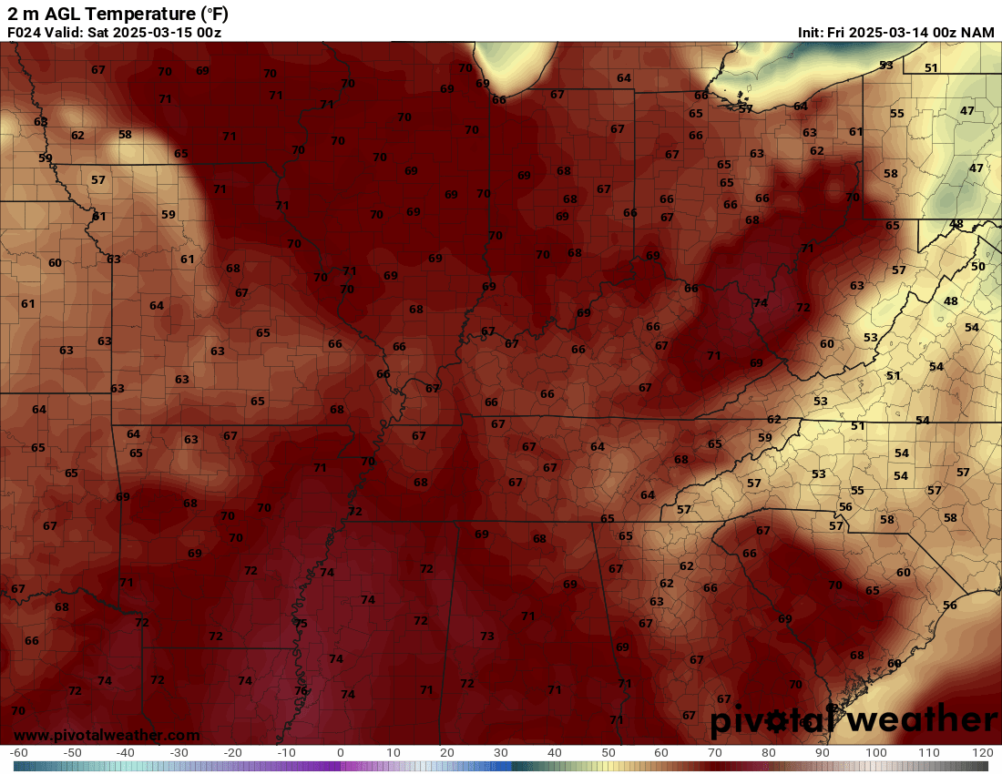
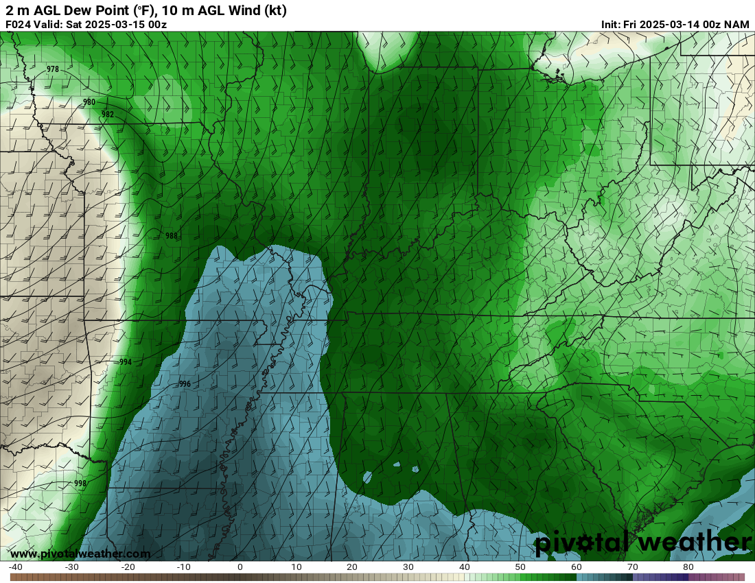
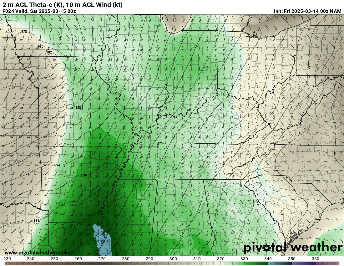
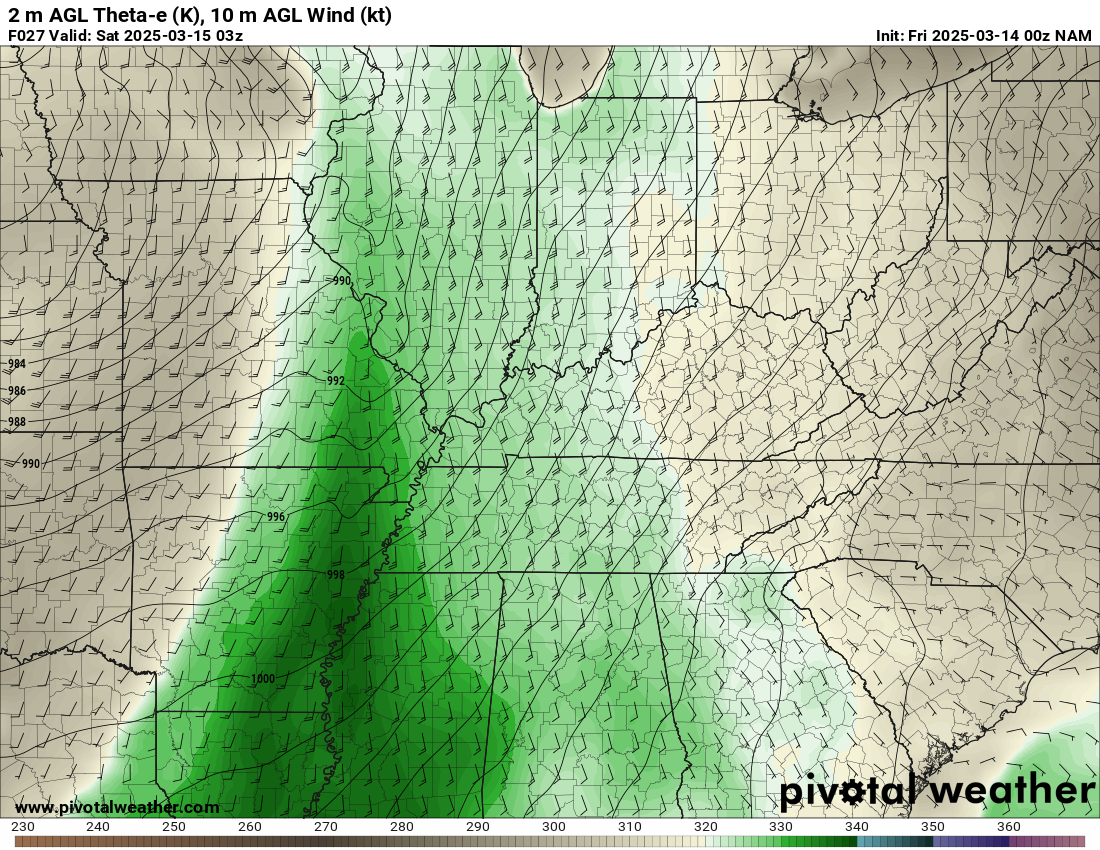
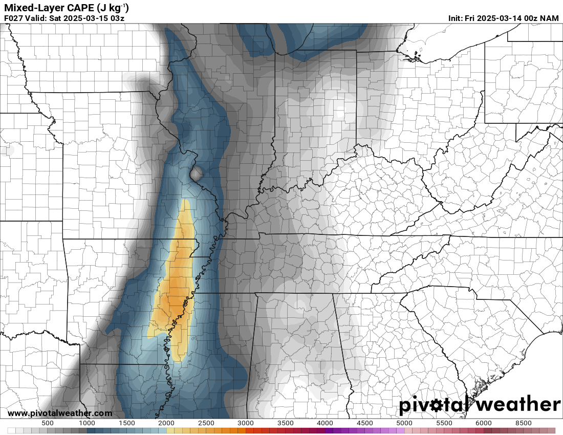
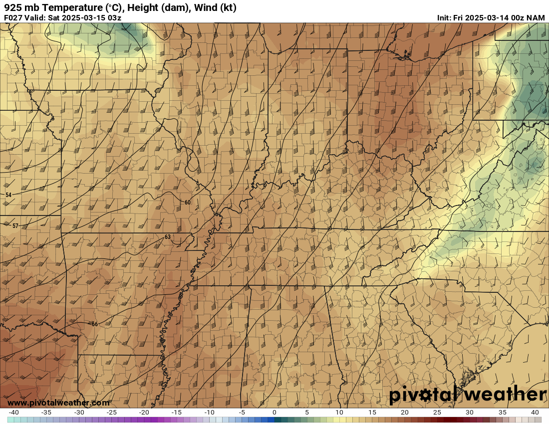
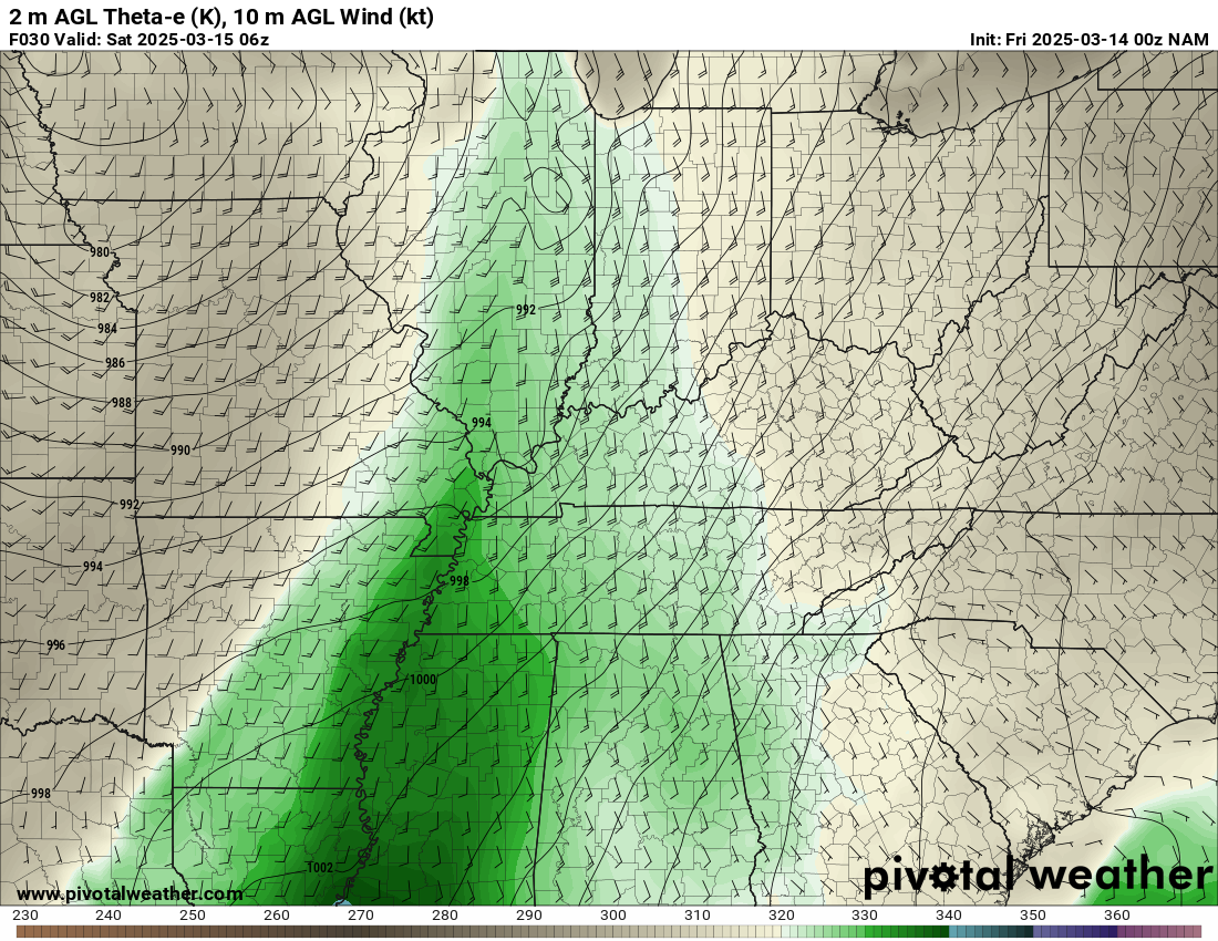
We ended up in Little Rock before stopping for gas and to look at data. After looking over data, it appeared there was a moisture tongue in eastern Arkansas, with 64F dew point at the Delta Regional Airport in Colt, Arkansas.
We decided to head up I-57 to Jonesboro where we ended up spending the next 6 hours.
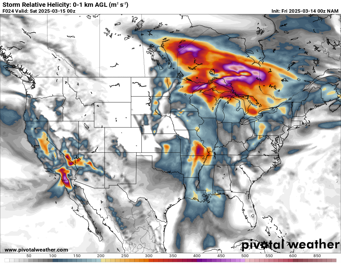
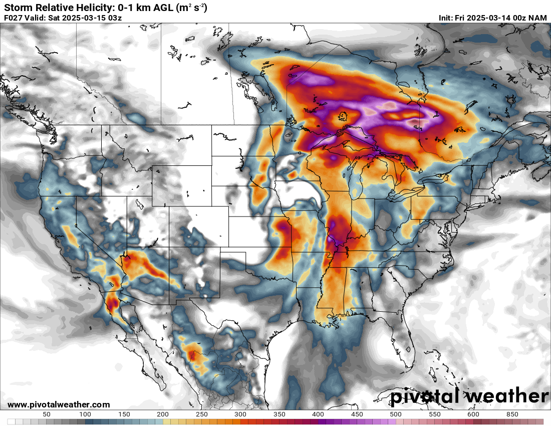
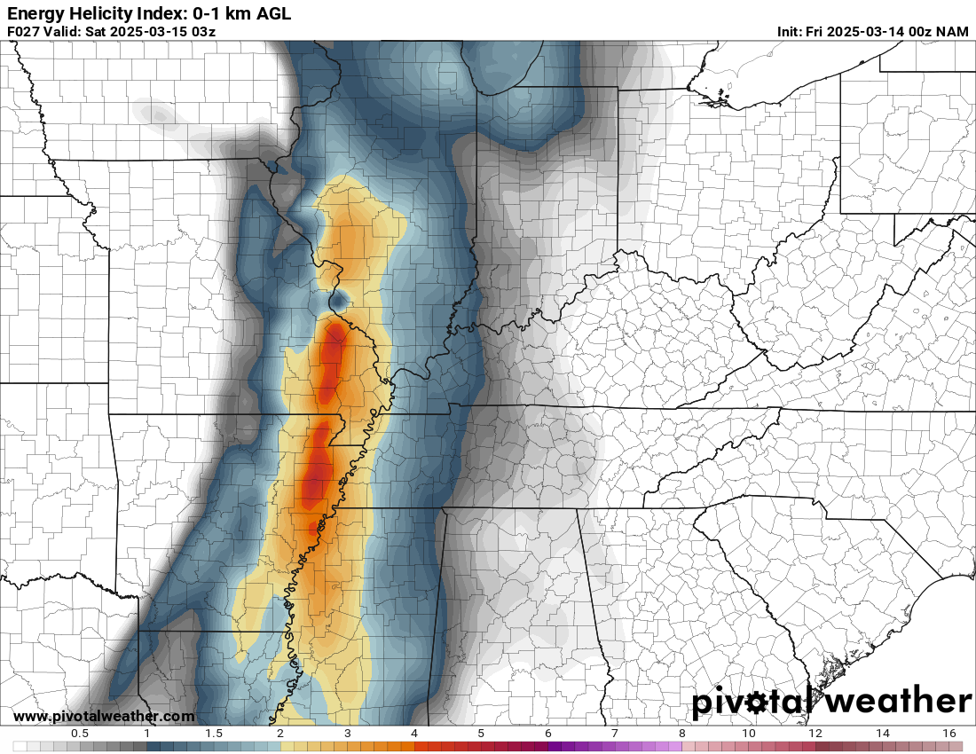
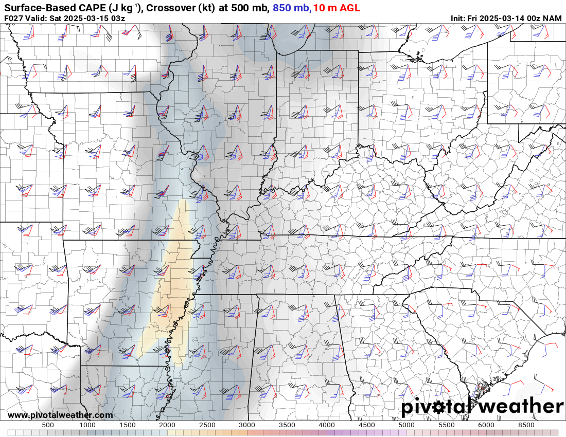
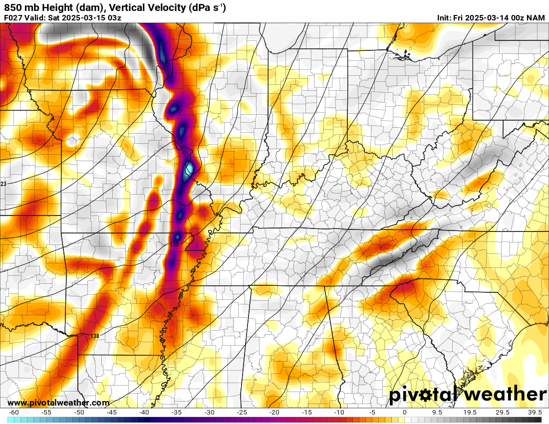
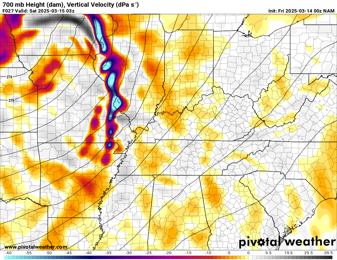
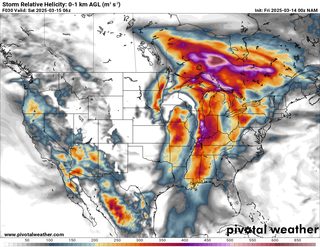
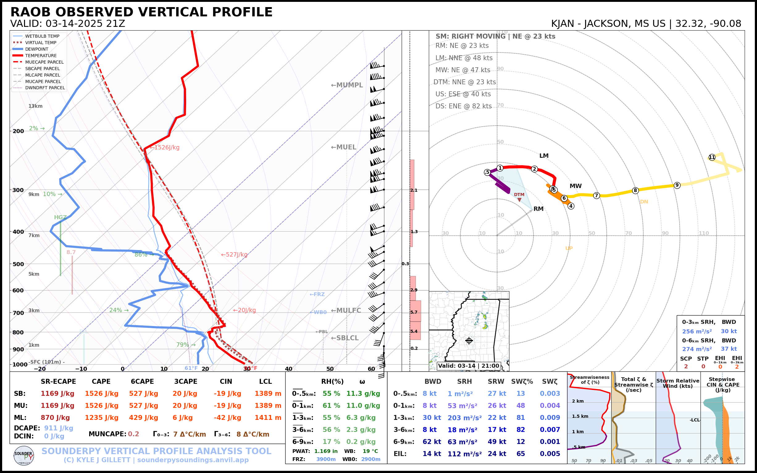
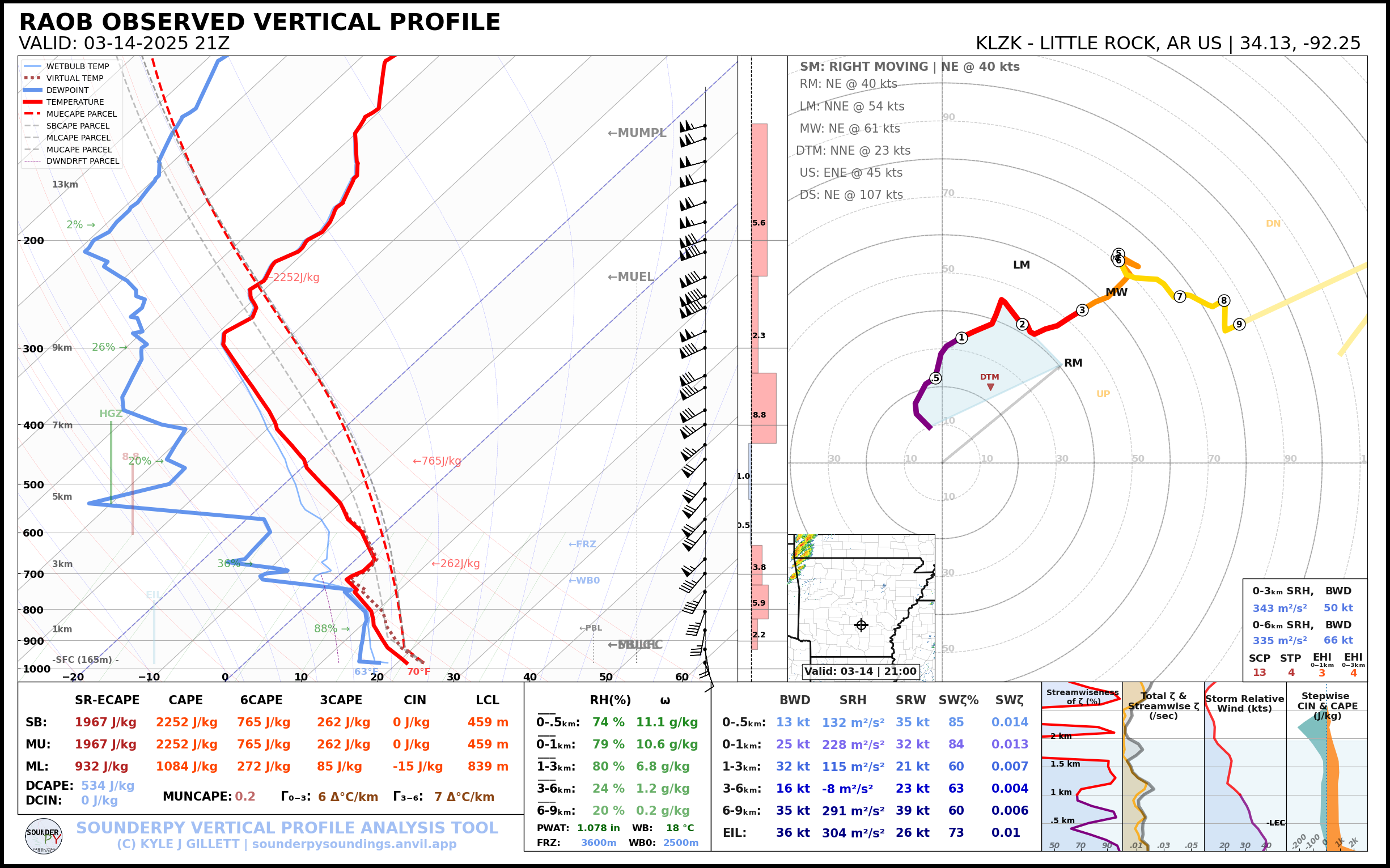
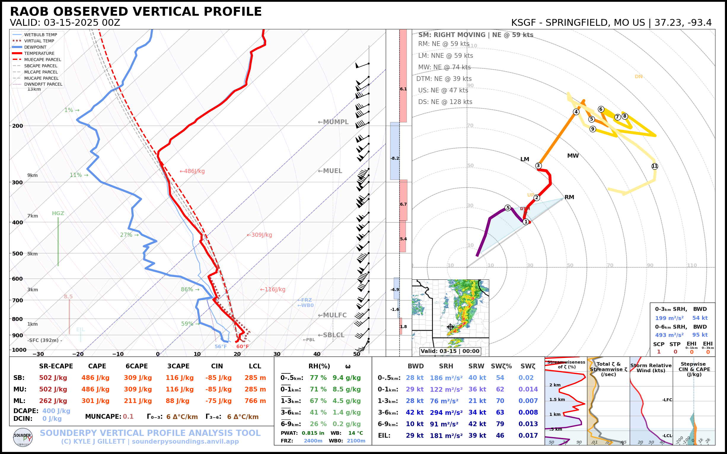
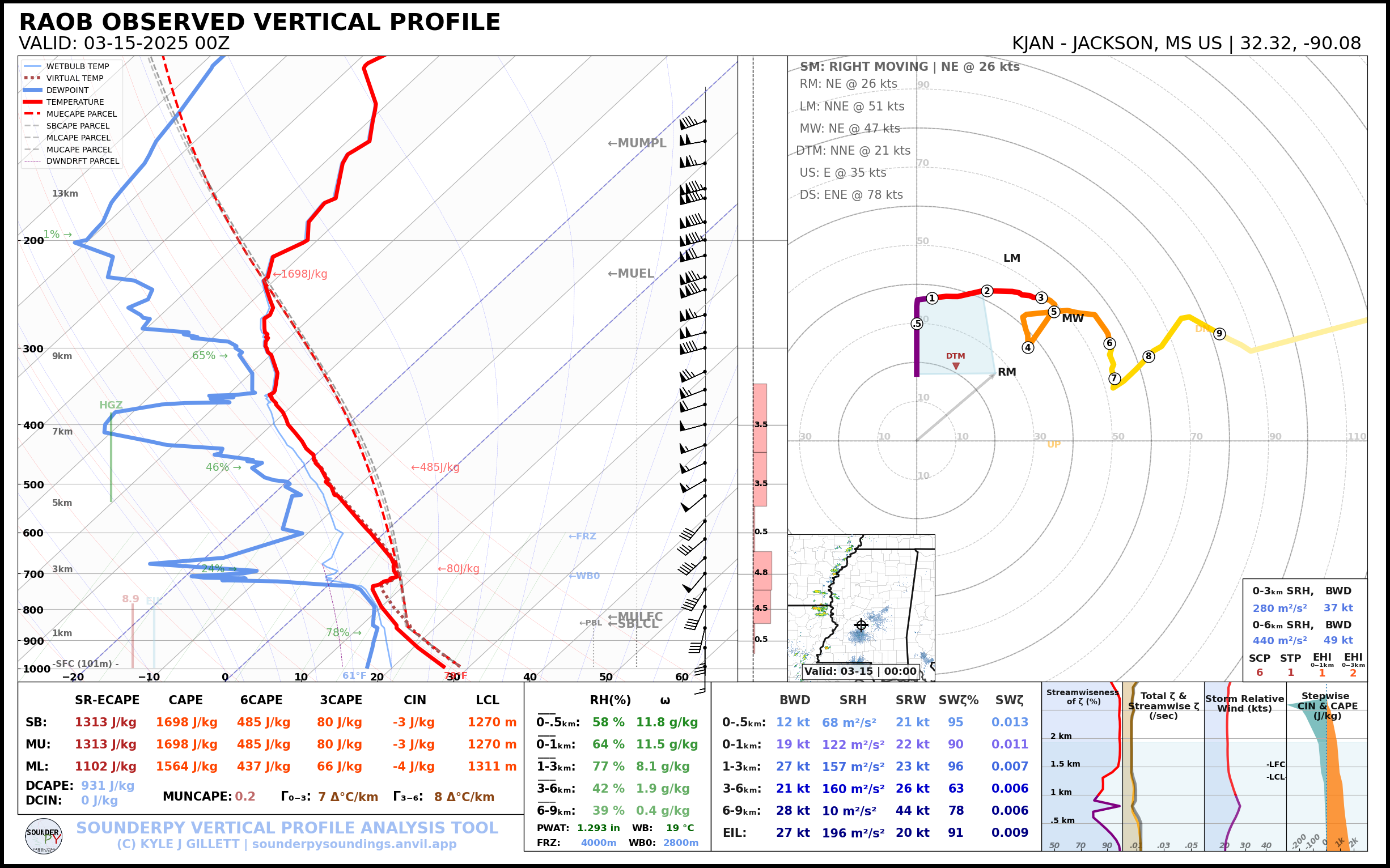
21Z Observed Soundings
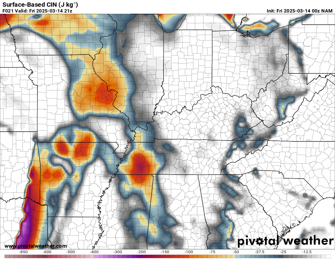
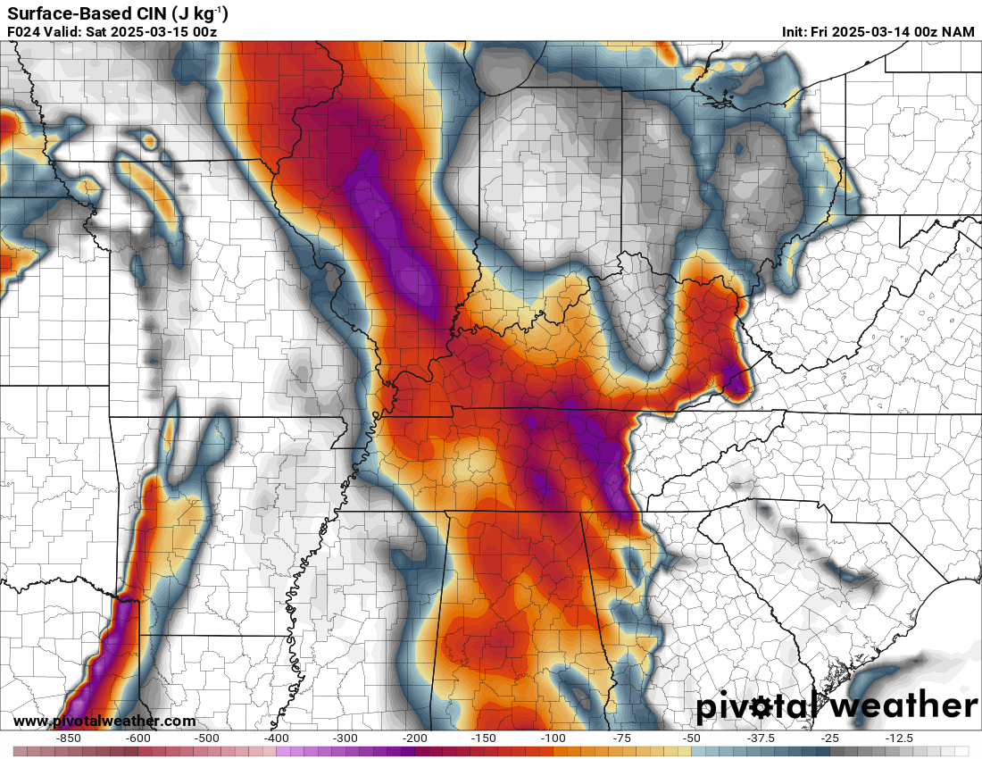
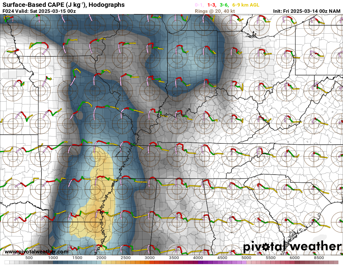
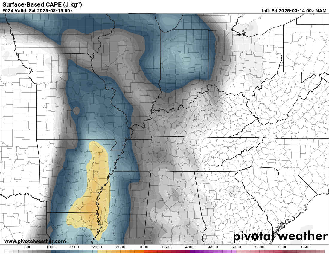
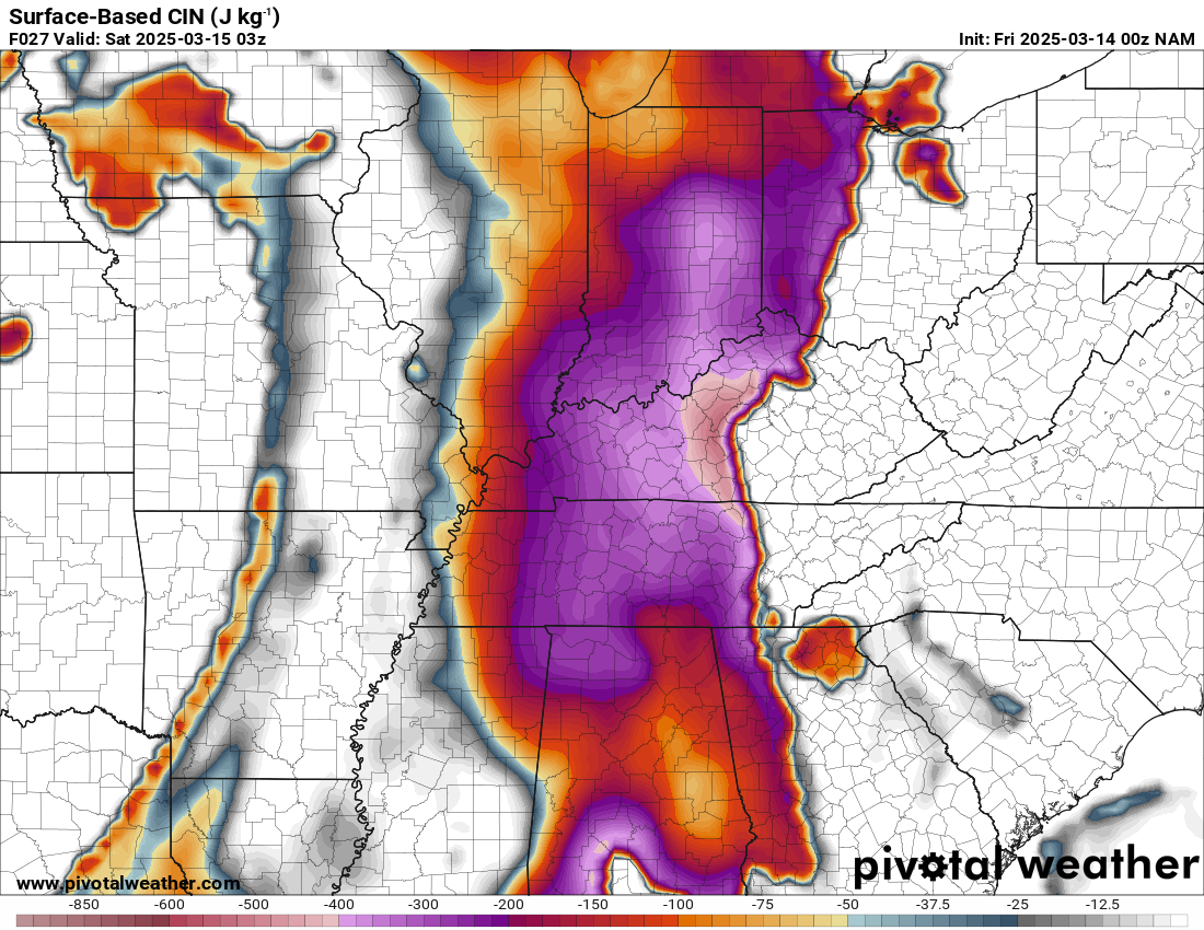
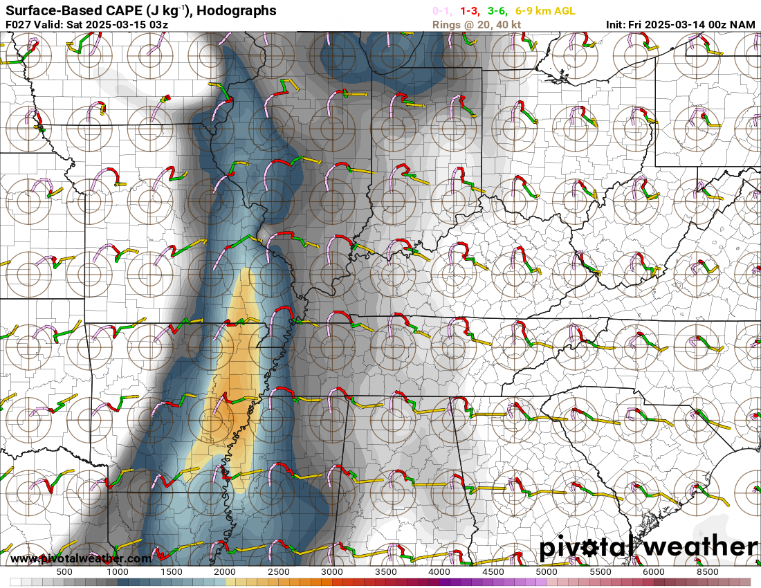
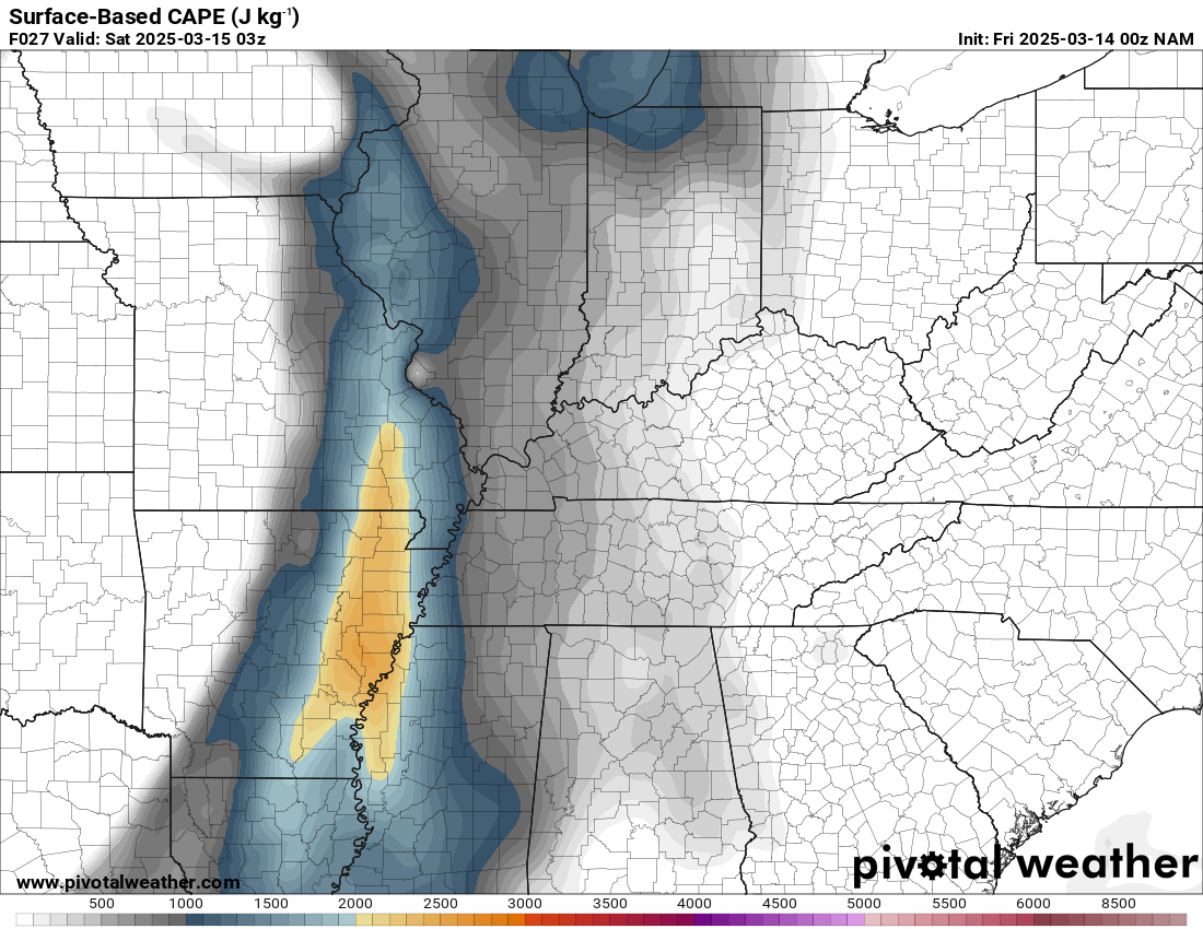
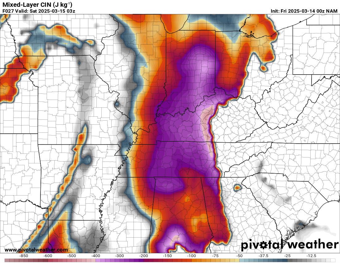
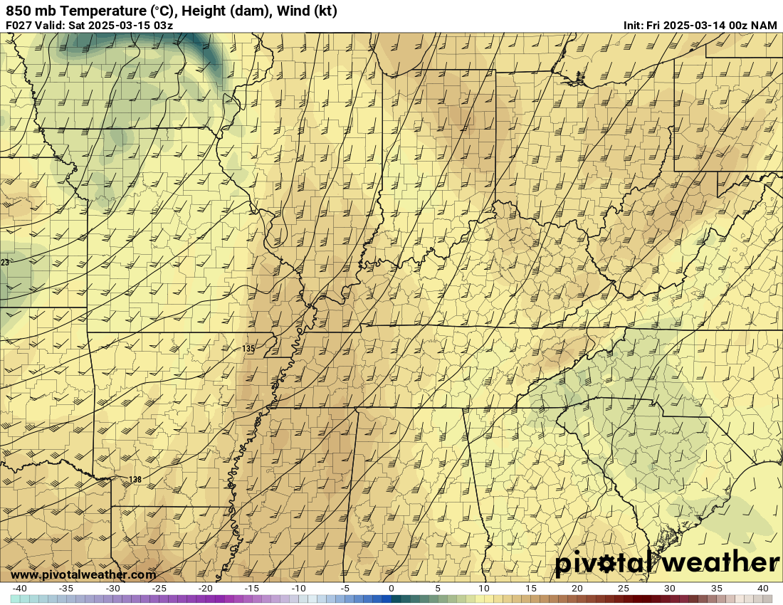
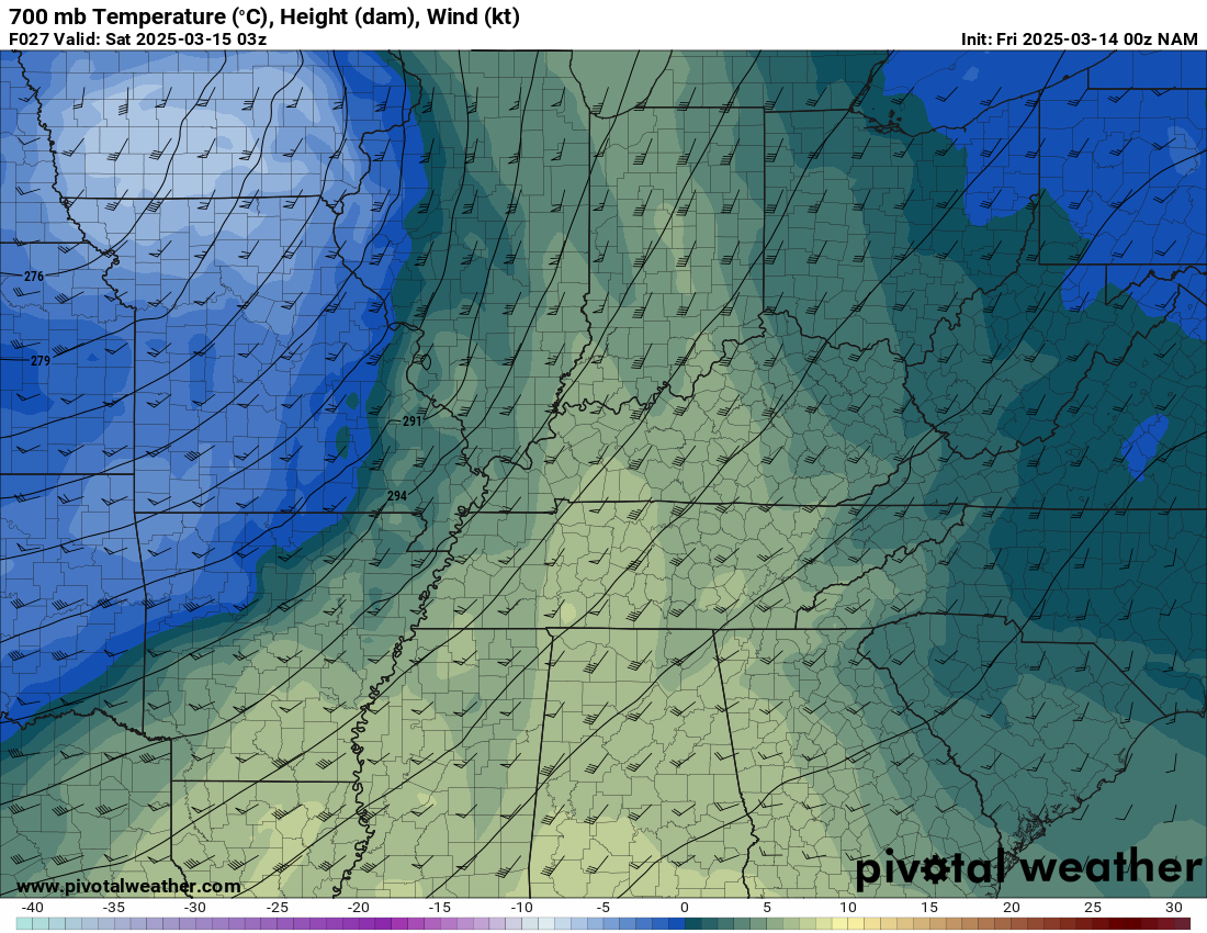
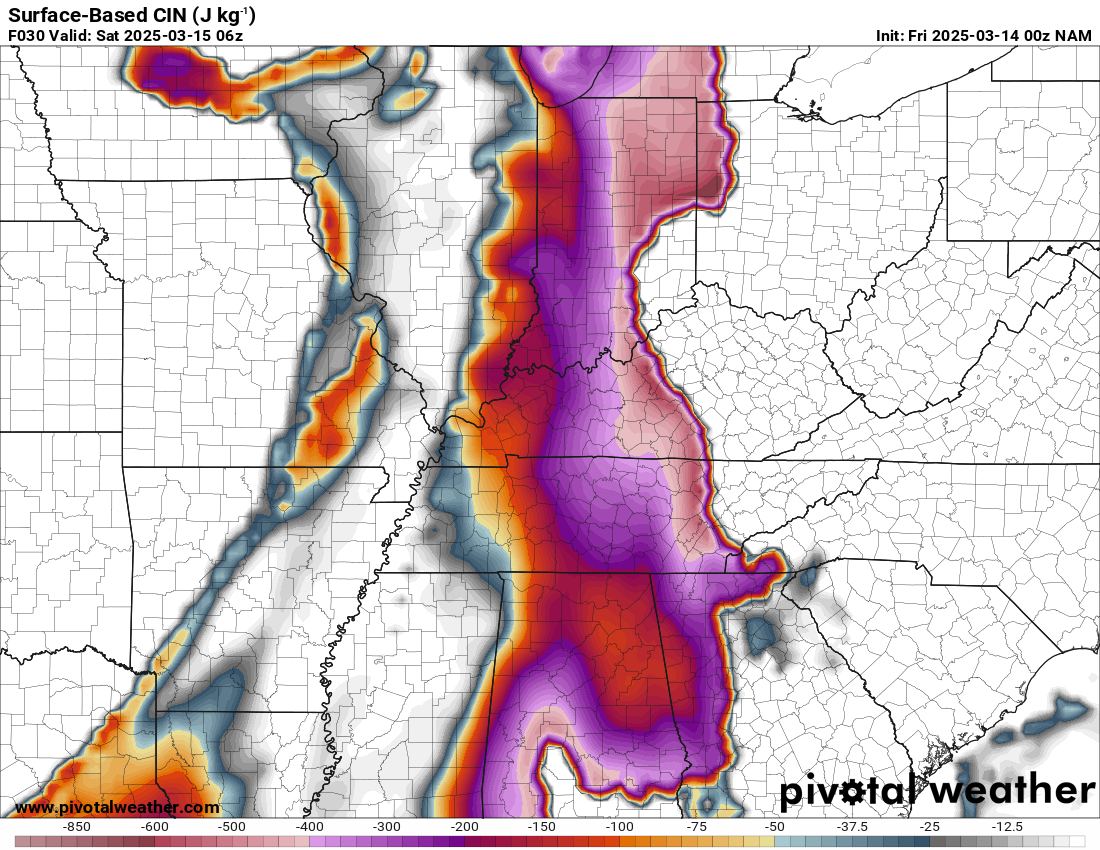
Soundings from Jackson and Little Rock at 4pm CDT. A cap is present on both, however, close to breaking on the Little Rock sounding.
Hanging out in Jonesboro
We grabbed dinner in Jonesboro and hung out at the Kum & Go waiting on the storms to get to us. Bill met up with us and we wasted the evening away. We realized most of the hotels had sold out in Tupelo where we wanted to stay, so we booked in Olive Branch MS.
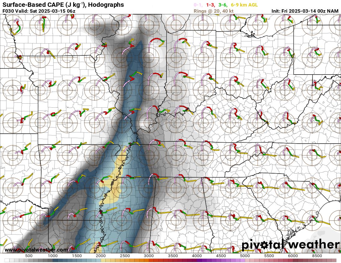
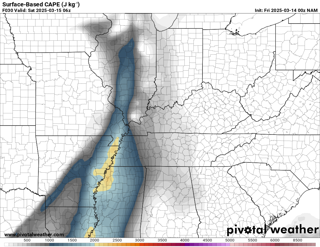
It was readily apparent the nocturnal event would definitely be nocturnal with the just in time moisture. As storms continued to intensify over the Ozarks, we headed towards Walnut Ridge to intercept the first storm. It was apparent right away that it’d go further north, so we headed up to Pocahontas. We tried to get a view on highway 166, but couldn’t find any so we dropped back to 62 and took it towards Corning then north on 67.
Fairdealing Missouri Tornado
In the lightning flashes we’d see a large lowering to our west on the supercell. At first it seemed like just a rain shaft. Turns out, it was the Fairdealing tornado, which was 500 yards wide according to NWS Paducah. That tornado would occlude north of the road we were on. I mentioned that it looked like a hand off on radar. And that is what occurred because shortly thereafter the Poplar Bluff tornado would touch down right near US67 and move into Poplar Bluff.
Poplar Bluff Missouri Tornado
We’d watch the Poplar Bluff Missouri tornado touch down and grow in size from US67 north of Neelyville. I was convinced that we were just seeing a rainshaft. Upon further inspection with my footage, it does appear we captured a very large fat stovepipe tornado with a larger LCL storm. It would make sense as this was about as far north as the 60 degree dewpoints had made it, so LCLs were a bit higher.

Critical Navigation Snafu
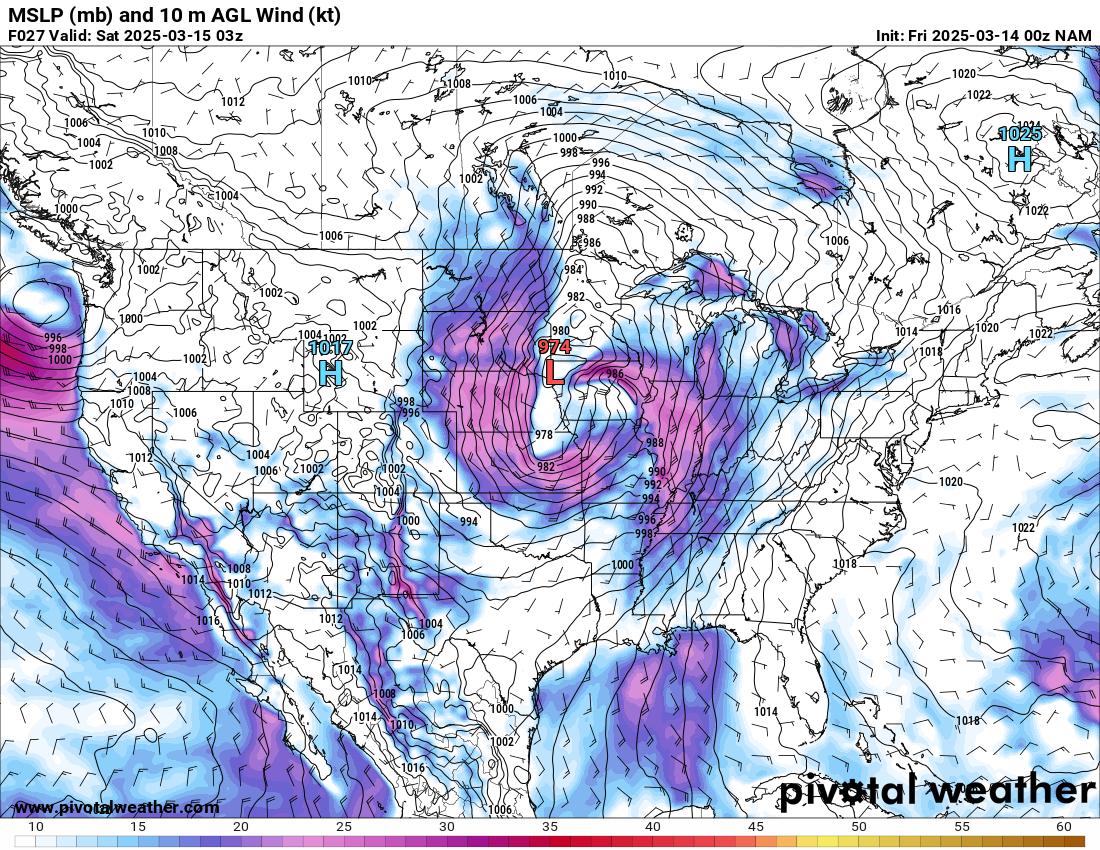
With the prospects of following this storm further away from our hotel were not very high, the fact of the matter was that we had multiple long tracked significant tornadoes on the ground to our south as well. I made the decision to drop back south to Corning and continue south towards our hotel in Memphis metro area. We’d have to cross the path of oncoming supercells to do so in a challenging road network.
As we proceeded across the black river out of Corning, I decided to drop south on AR-135. It started to look like we’d be cutting it too close to pass in front of the tornado, but it was going more northerly than I anticipated. So I turned around approximately where the tornado crossed and headed back north. Now eastbound on US-62 we were running for our lives towards Piggott. Some tough driving at night in the rain and we managed to get to Piggott and then took 139 south to 90. Unfortunately another river cut us off, so we had to go east to Kennett and drop south to US-412.
Tornadoes near Kennett and Paragould
We tried to observe the tornado in progress just to our north, but the dust blowing off the fields was making it impossible to observe. Lightning was near constant.
We continued south to Lepanto and then to I-555 and quickly I-55 southbound. We’d pass in front of the Paragould storm on our way south, but too far away to observe anything.
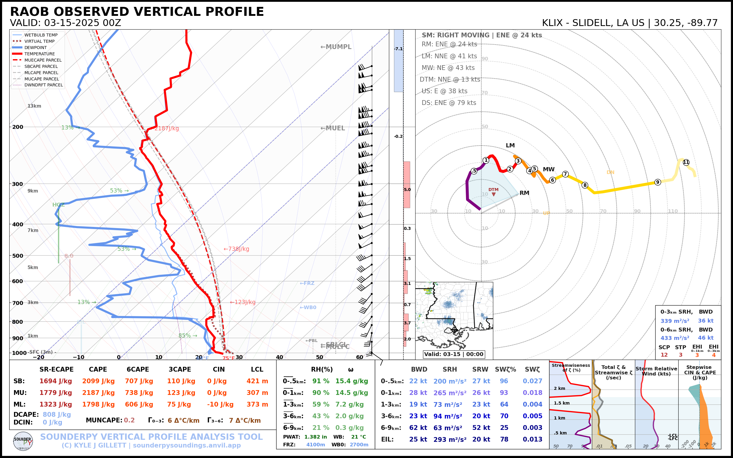
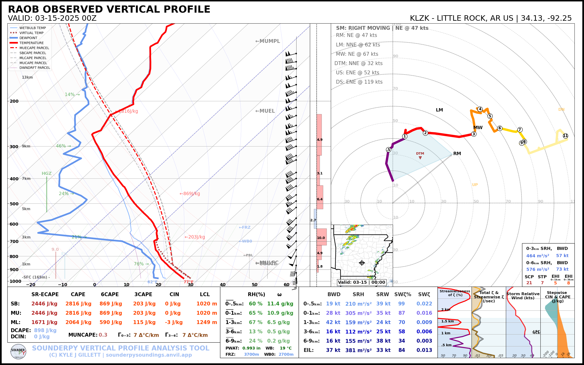
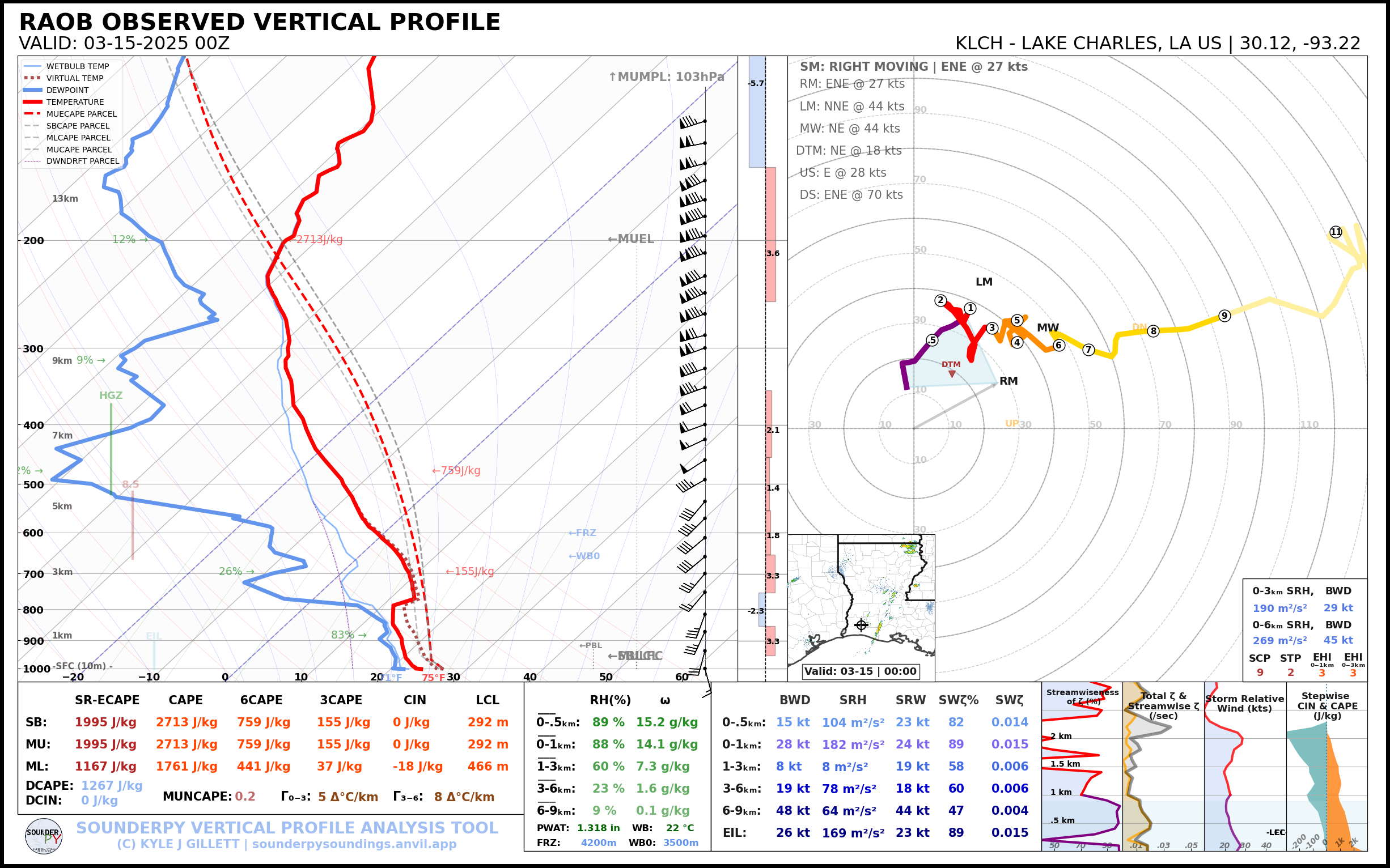
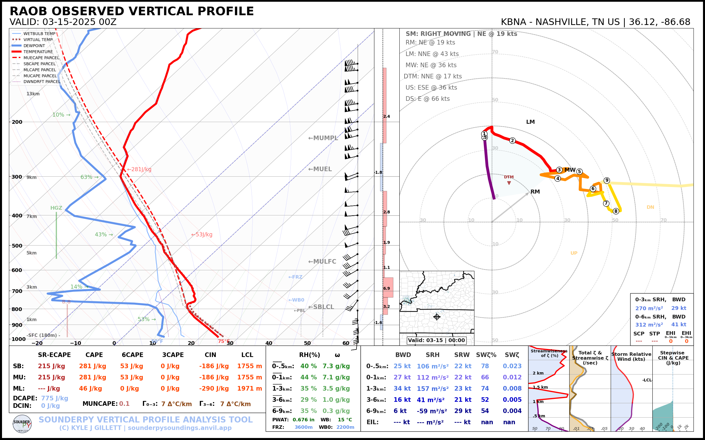
00Z Observed Soundings
Heading to the Hotel
We’d head to our hotel in metro Memphis, arriving somewhere around 3 am. Exhausted, we’d need to be up early for the next day High Risk.


