Storm Chase Details
Miles Logged: 890
States Chased: TX
Tornadoes Witnessed: 3
Spotter Network Reports: 2


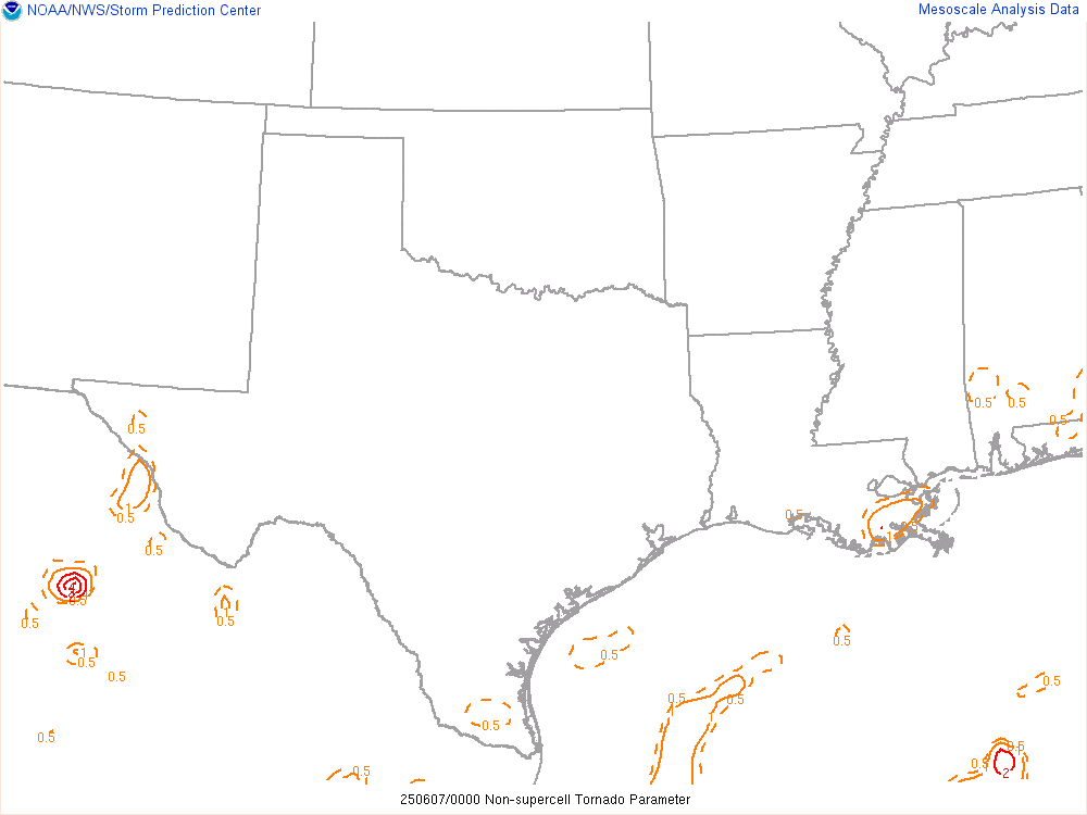
Severe Risks: SPC Outlooks
Severe Reports: Storm Reports
After taking a brutal hit the previous day, missing the Morton storm, I was looking for some redemption. JR was off for his normal alternating Friday and the consultant I was working with was still sick so we were able to hit the road. We’d make it a blockbuster out and back chase, making it home around 2am.
Forecast
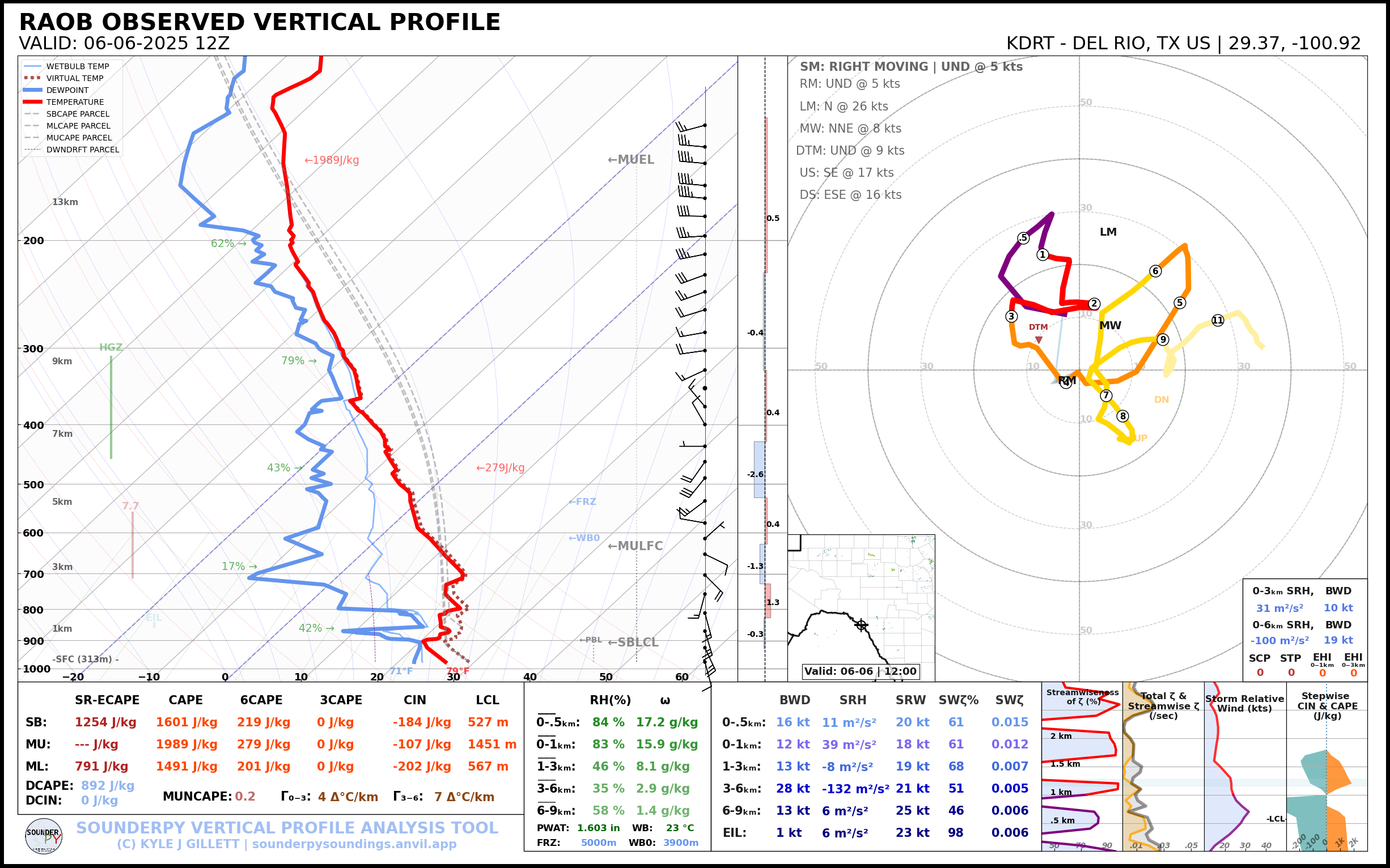
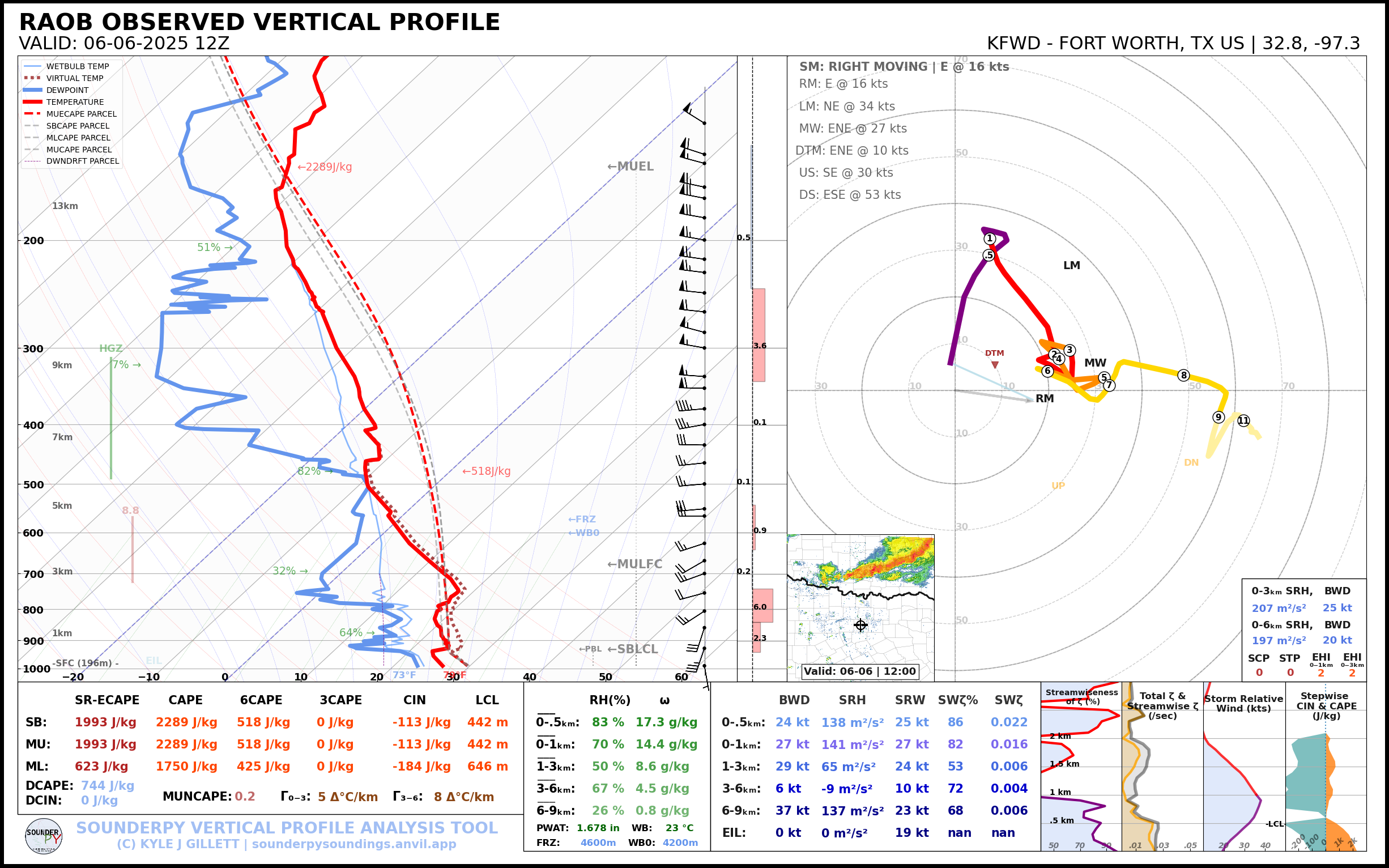
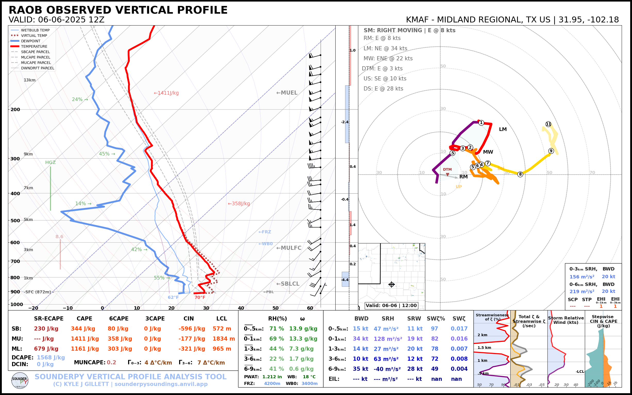
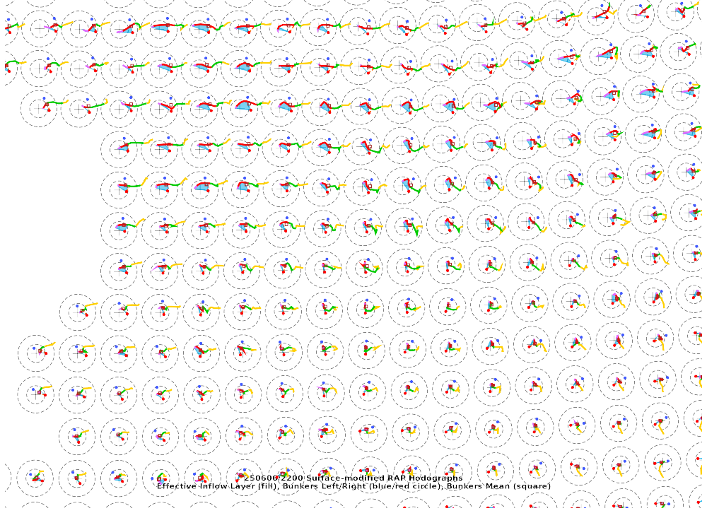
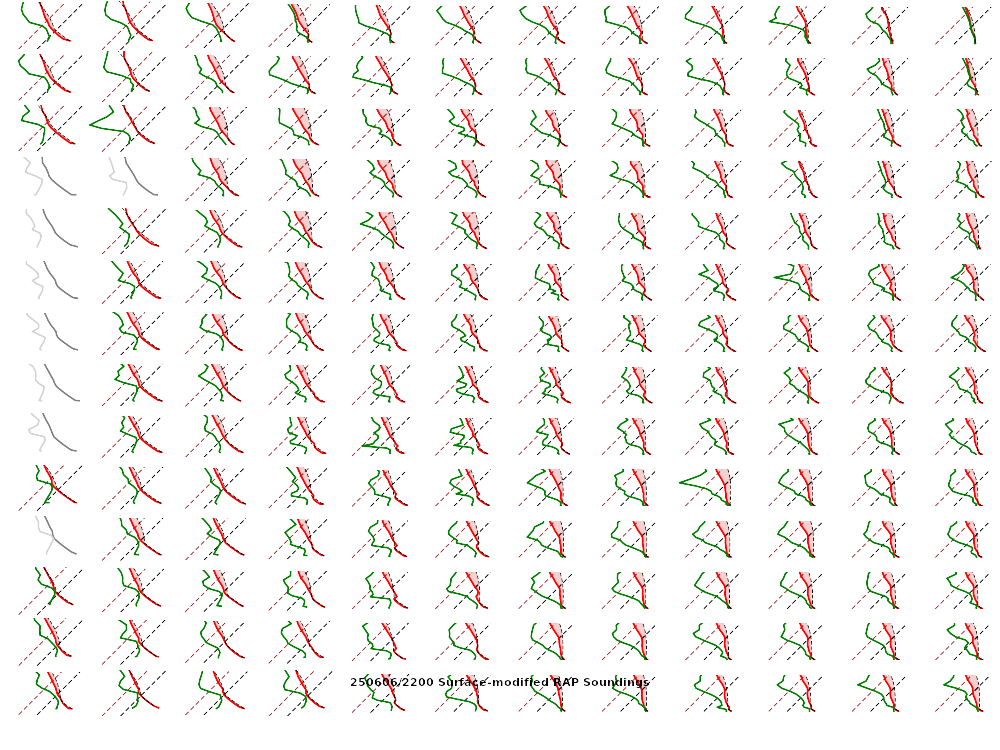
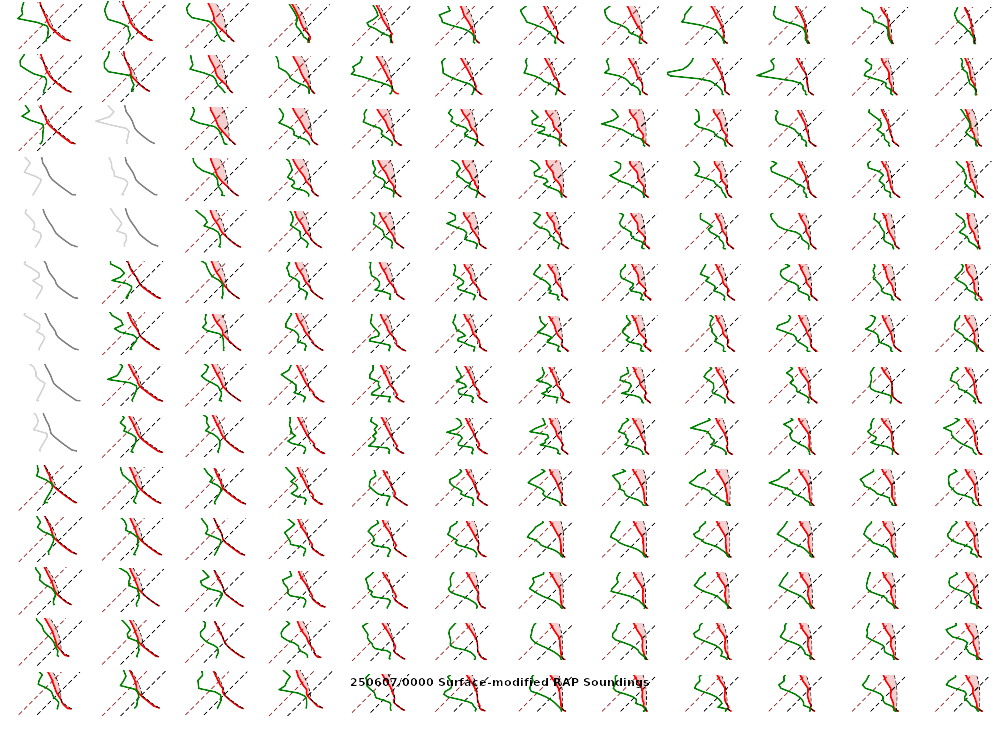
12z Morning Soundings
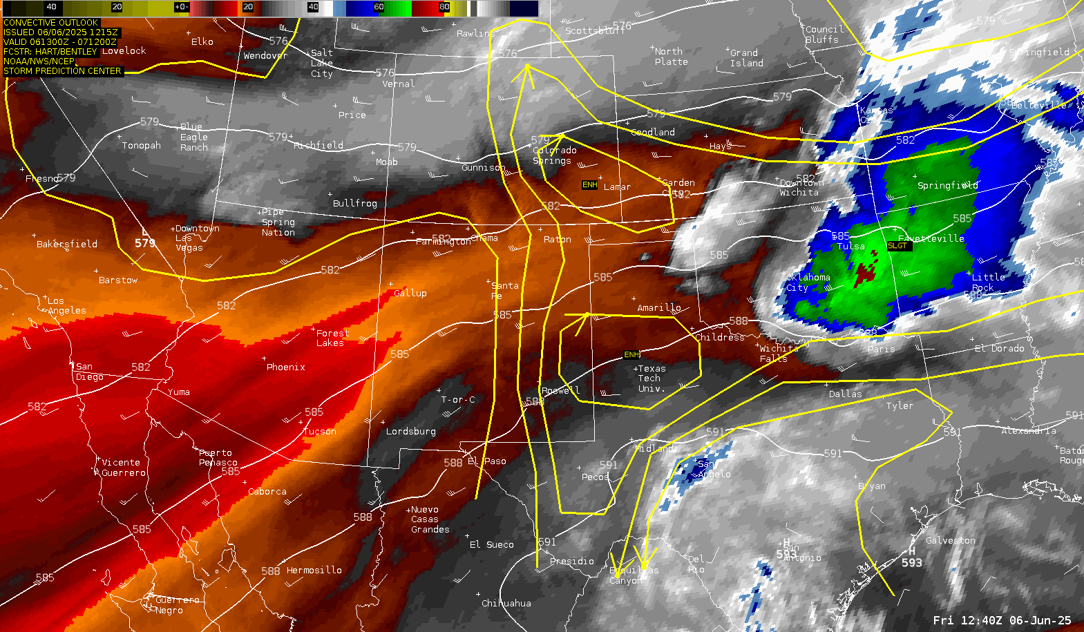
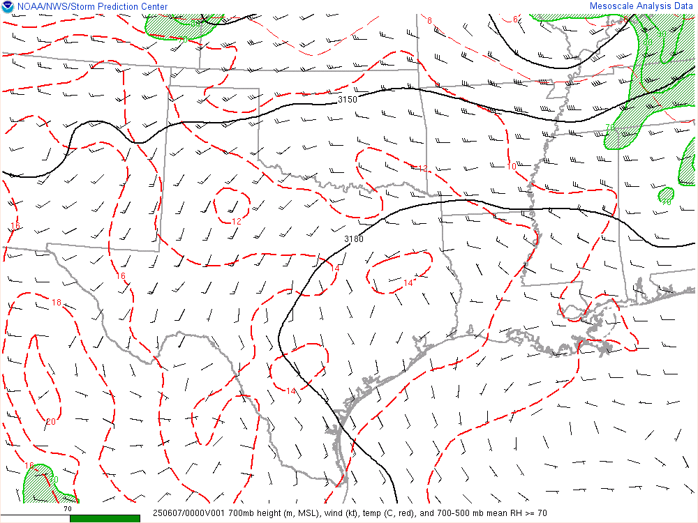
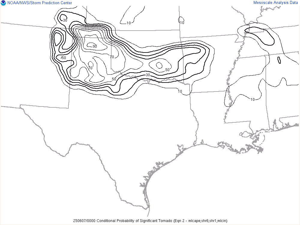
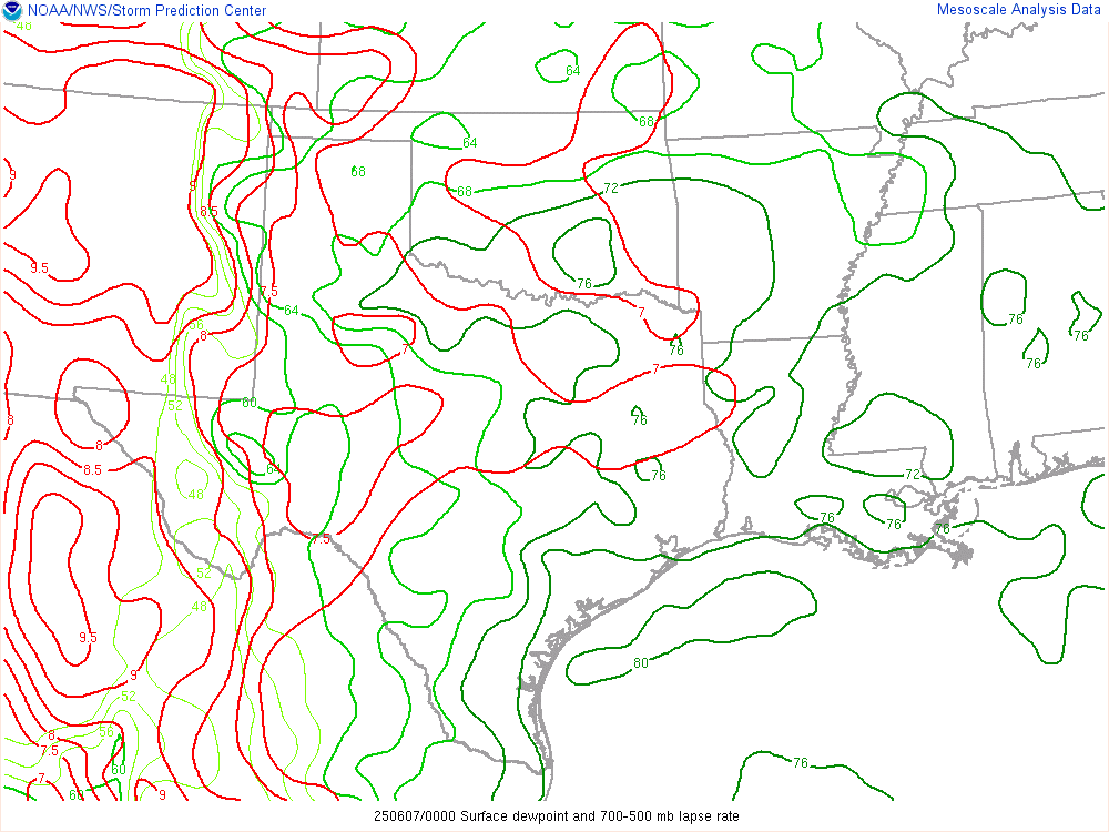
Much like yesterday, the low level moisture looked very good in the morning soundings. Residual outflow boundary was hanging out on visible satellite as well. SPC went enhanced with a 5% tornado, which seemed reasonable.
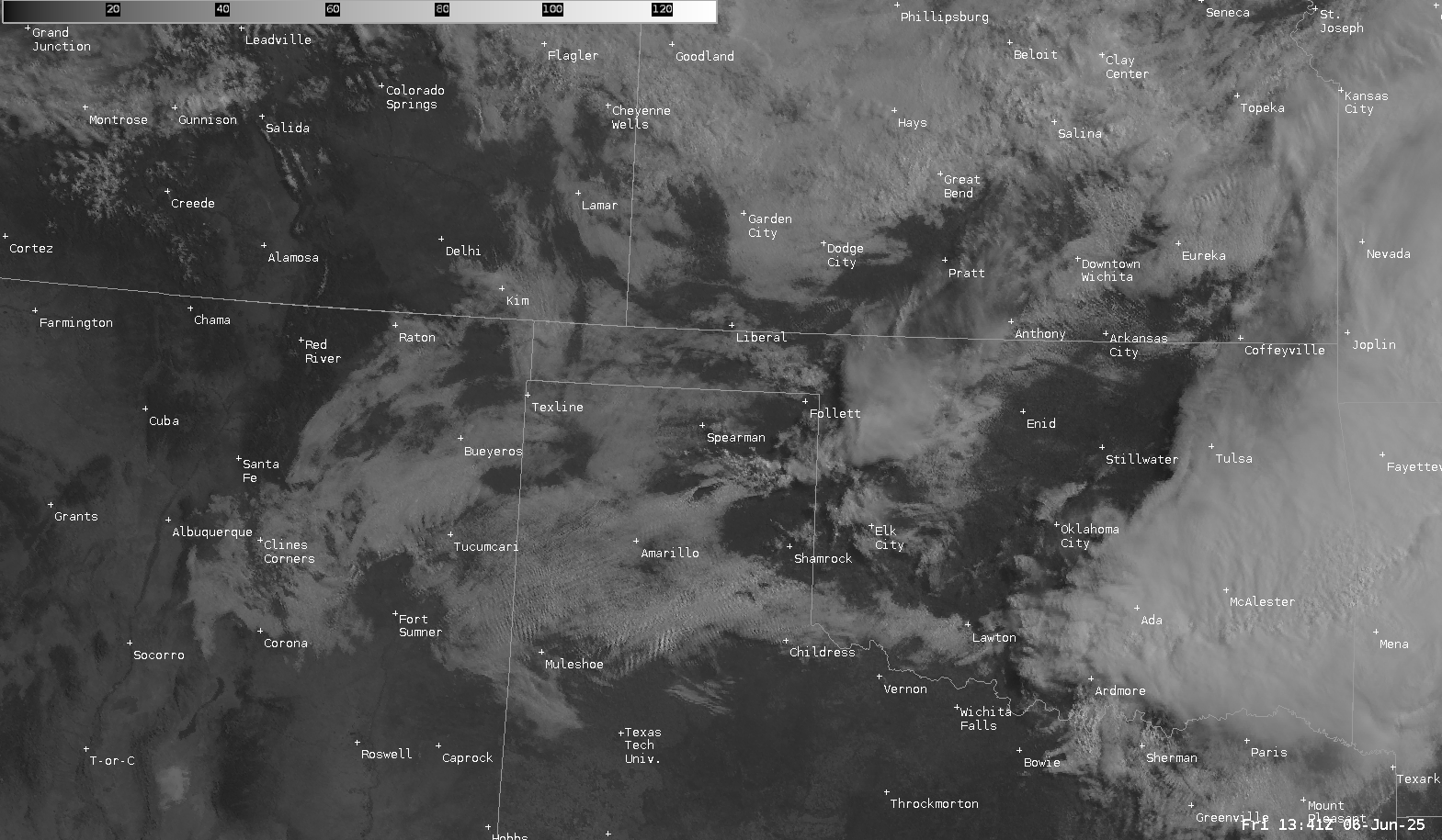
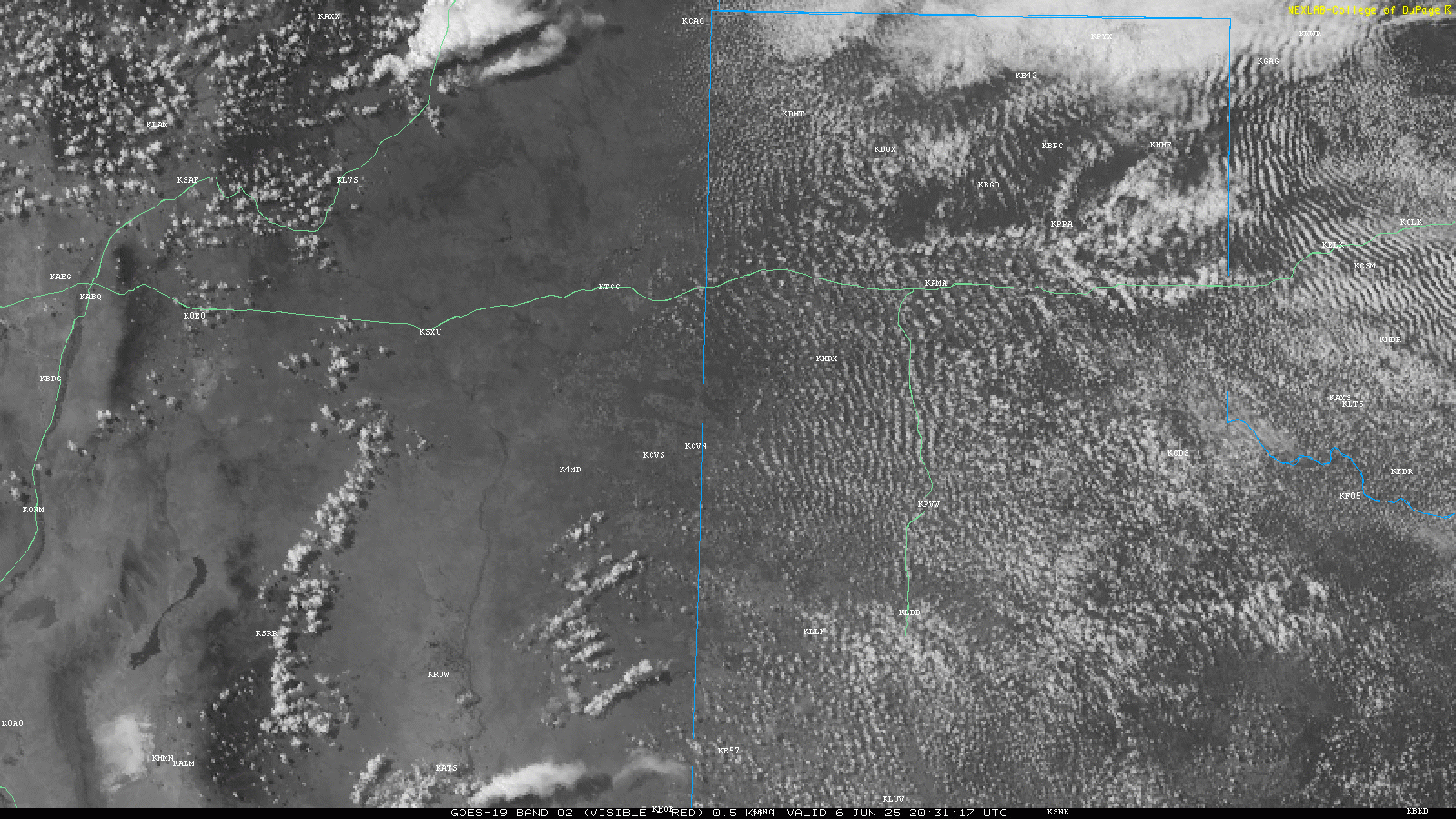
15Z Visible and Water Vapor Satellite Loops
Departing Norman
JR Stopped by the house and we headed out westbound on I-40 to the Texas panhandle. We made very good time, getting to Bucees in Amarillo by early afternoon. The decision was made to continue west on I-40 to Vega where we headed south towards Hereford then Muleshoe and Morton.
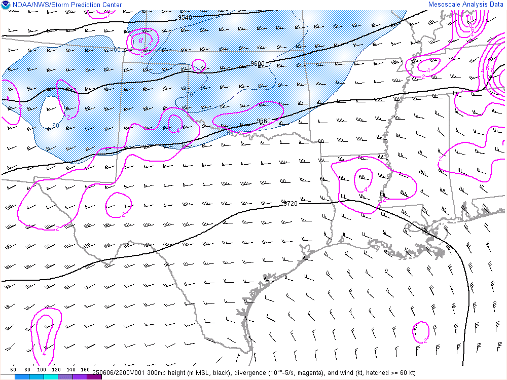
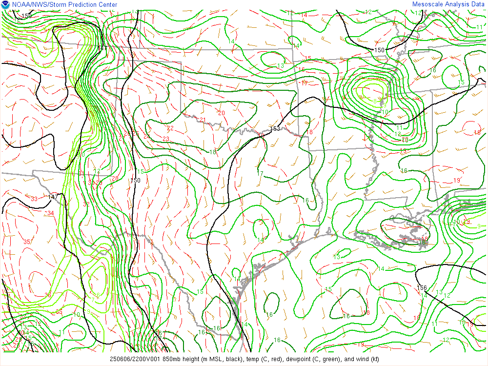
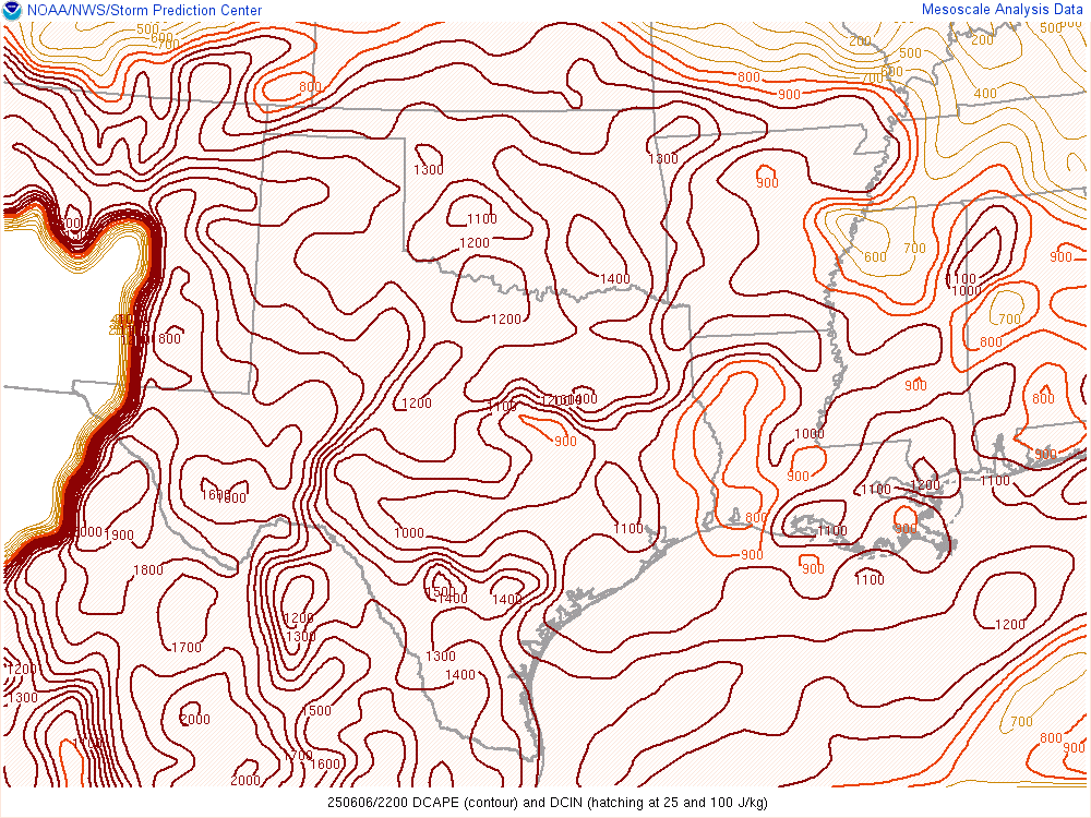
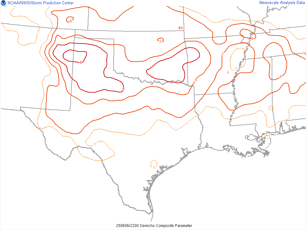
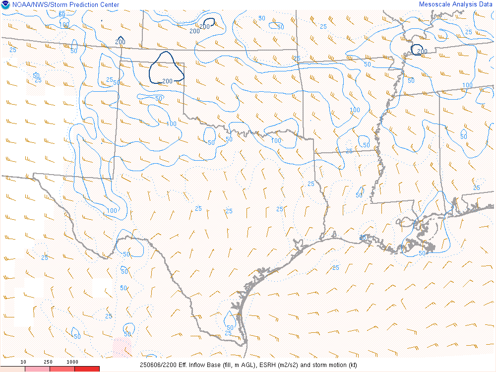
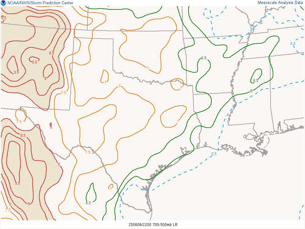
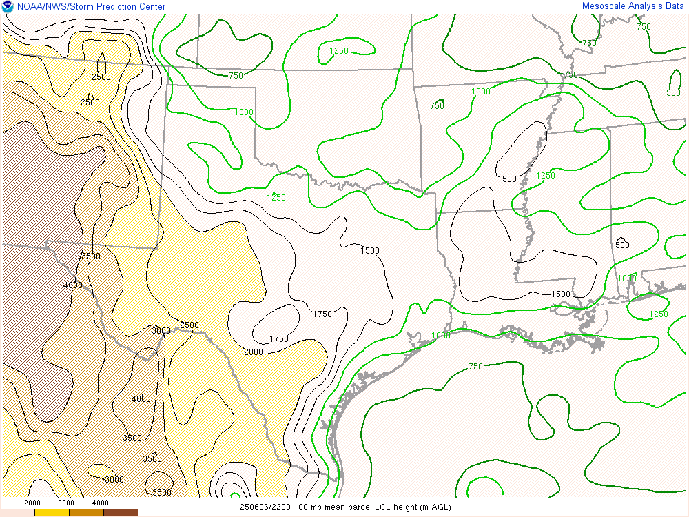
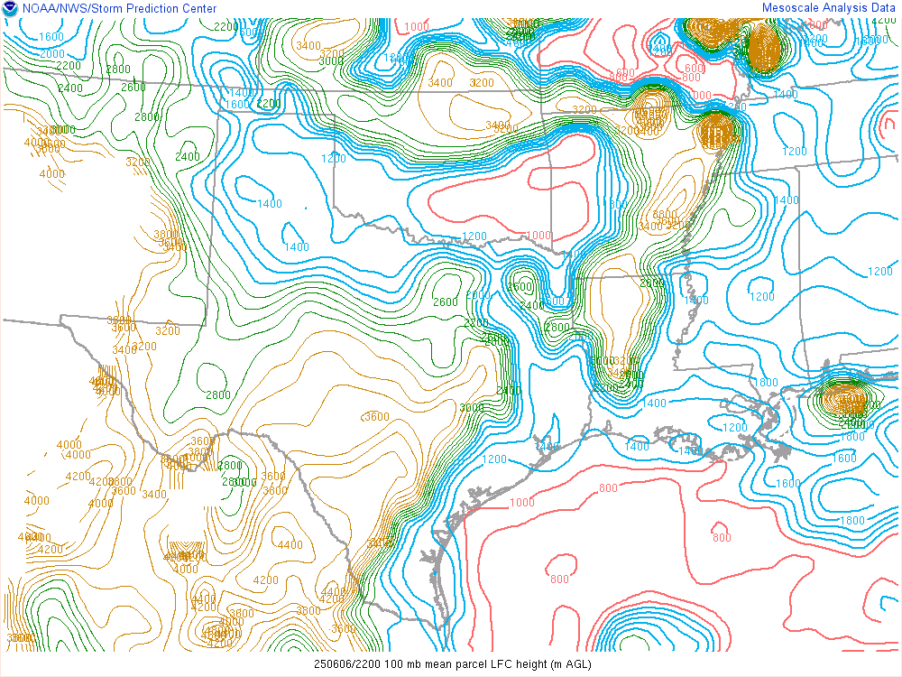
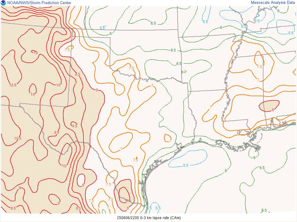
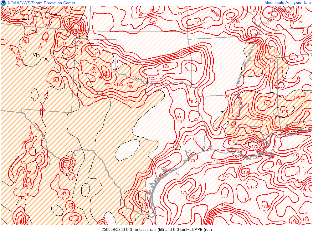
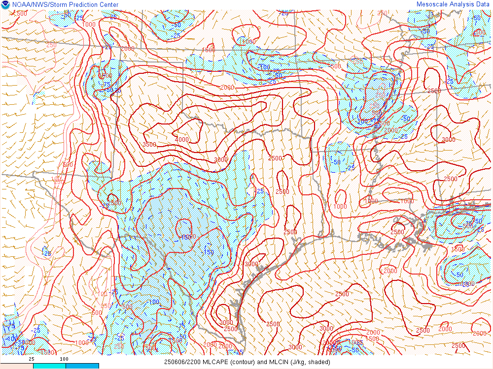
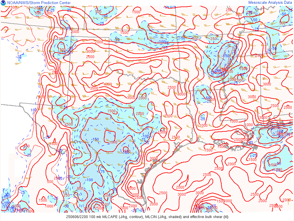
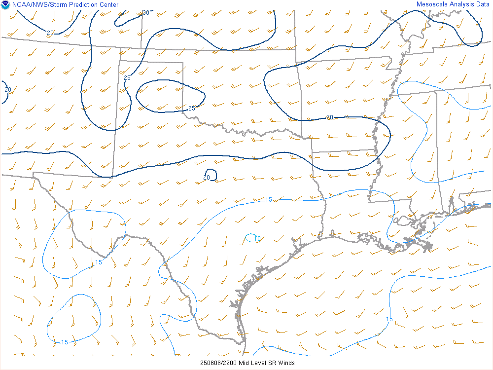
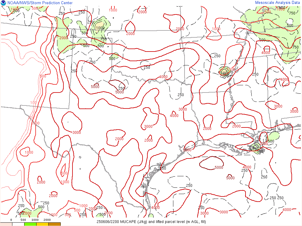
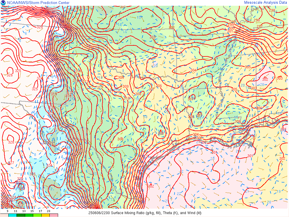
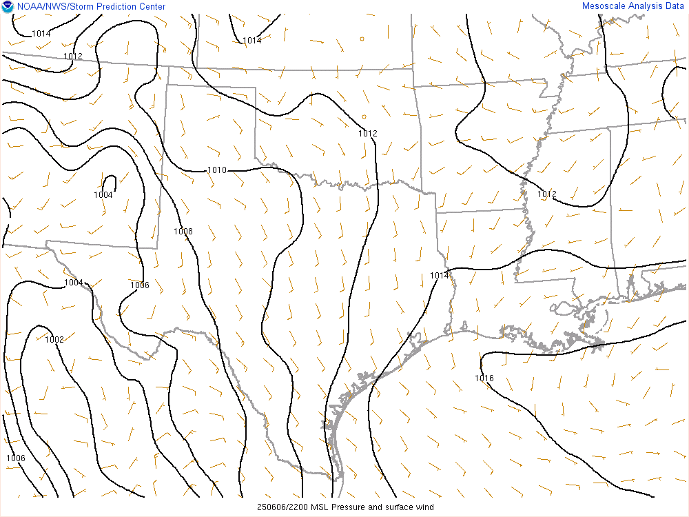
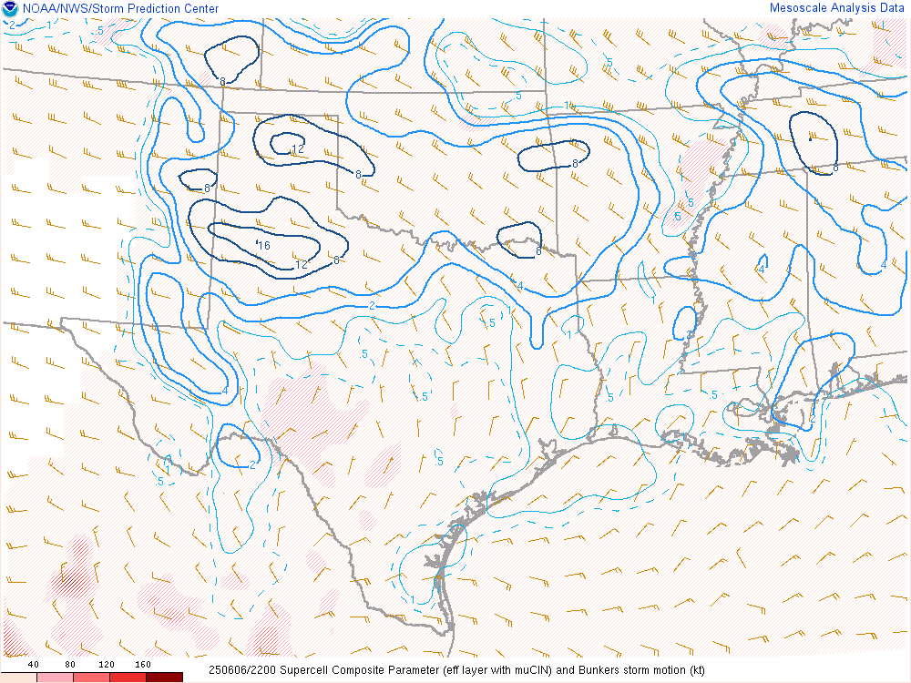
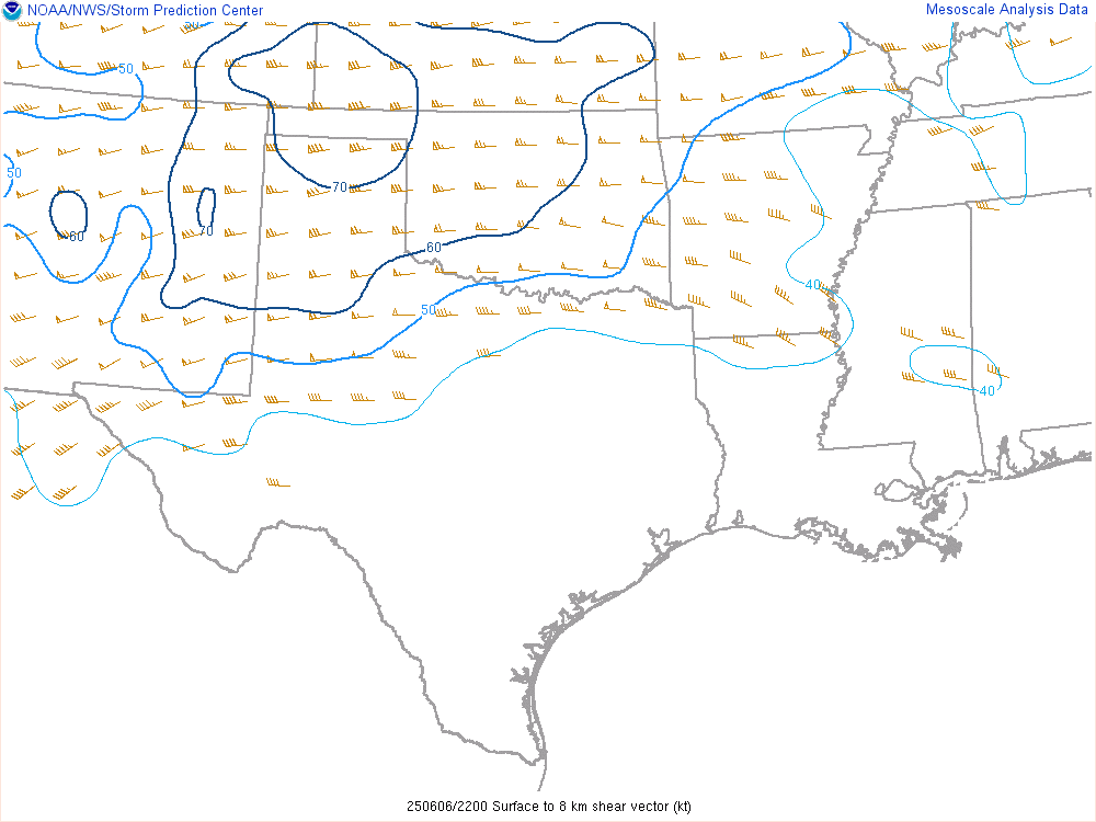
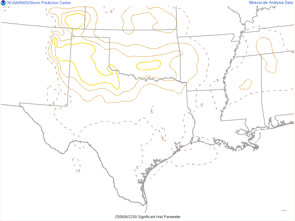
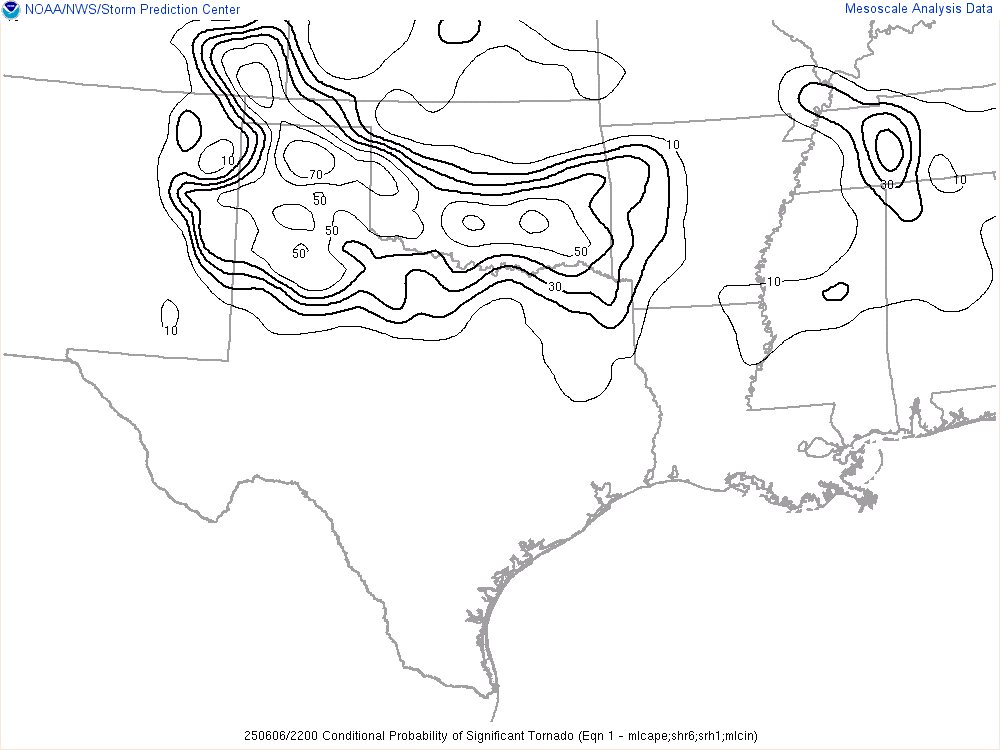
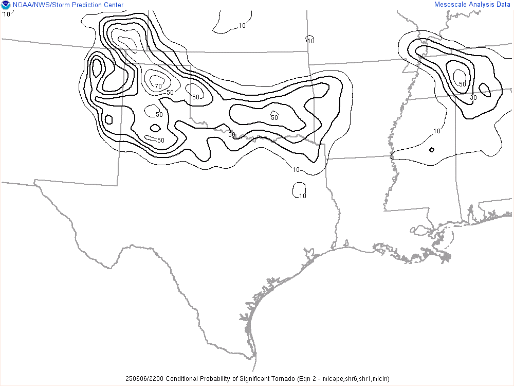
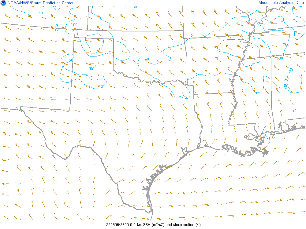
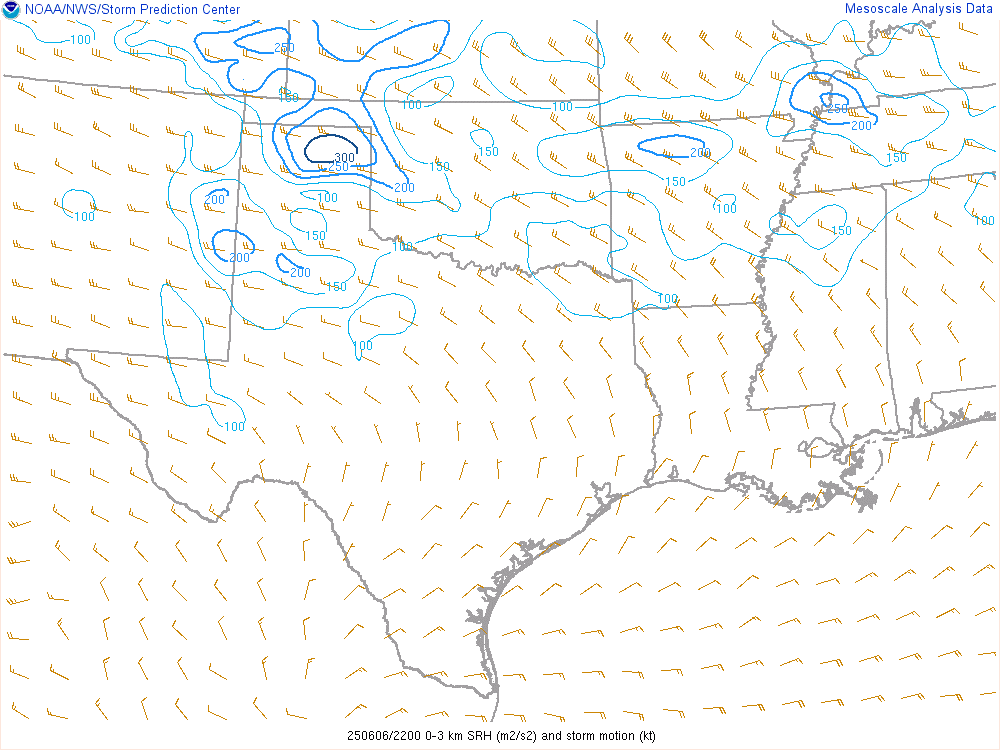
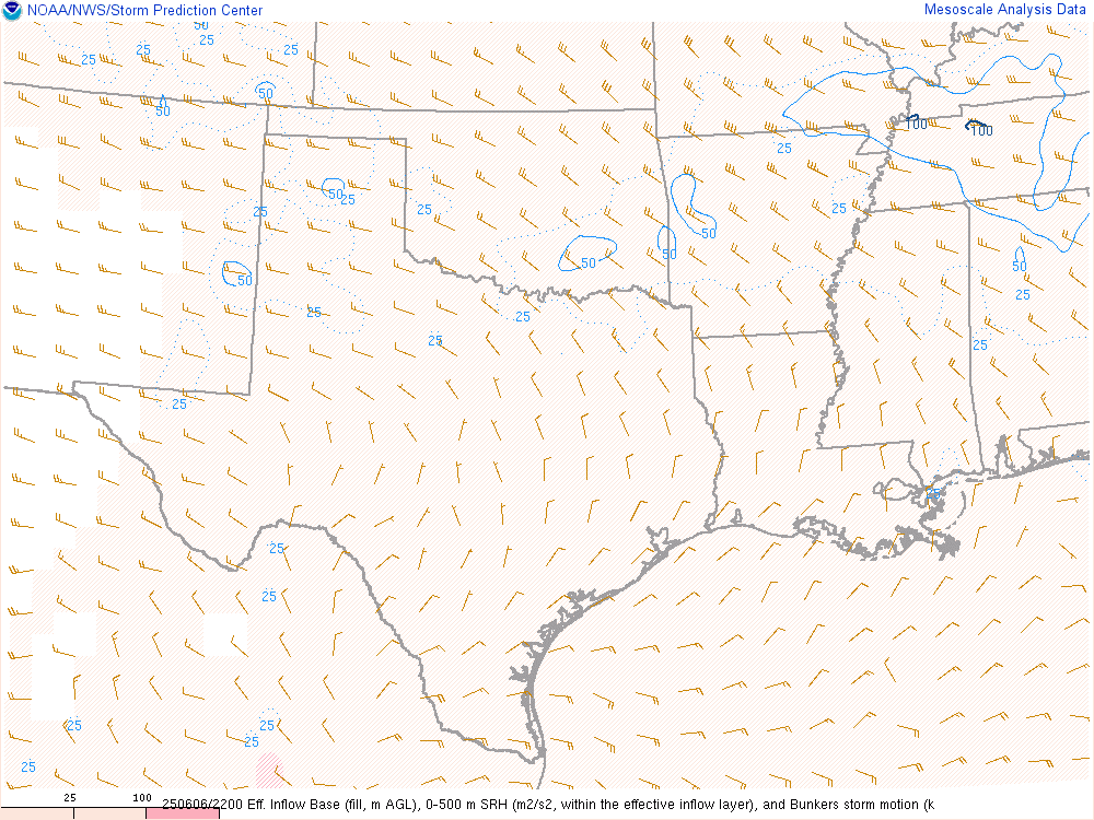
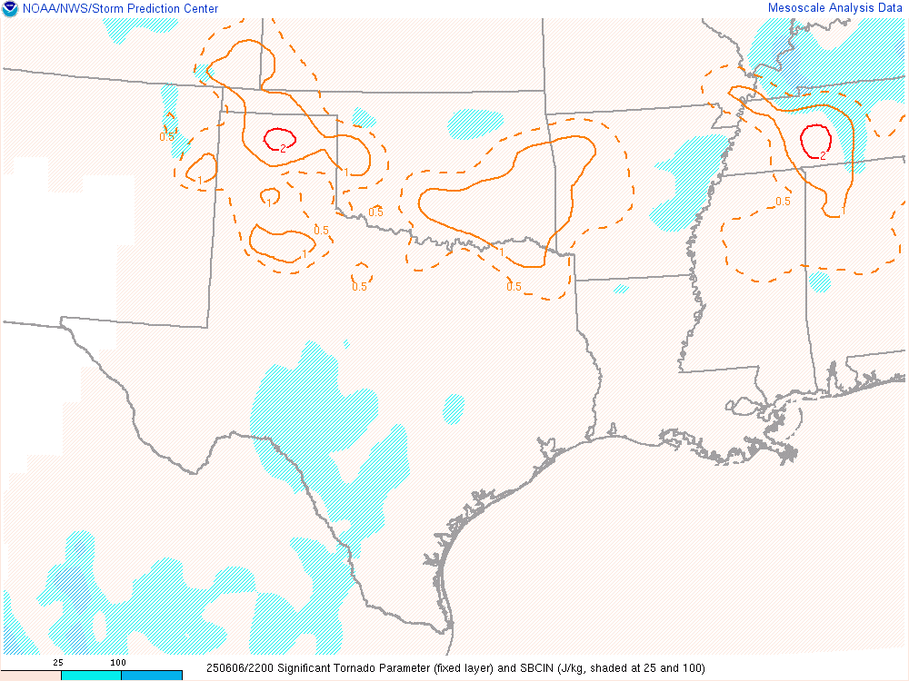
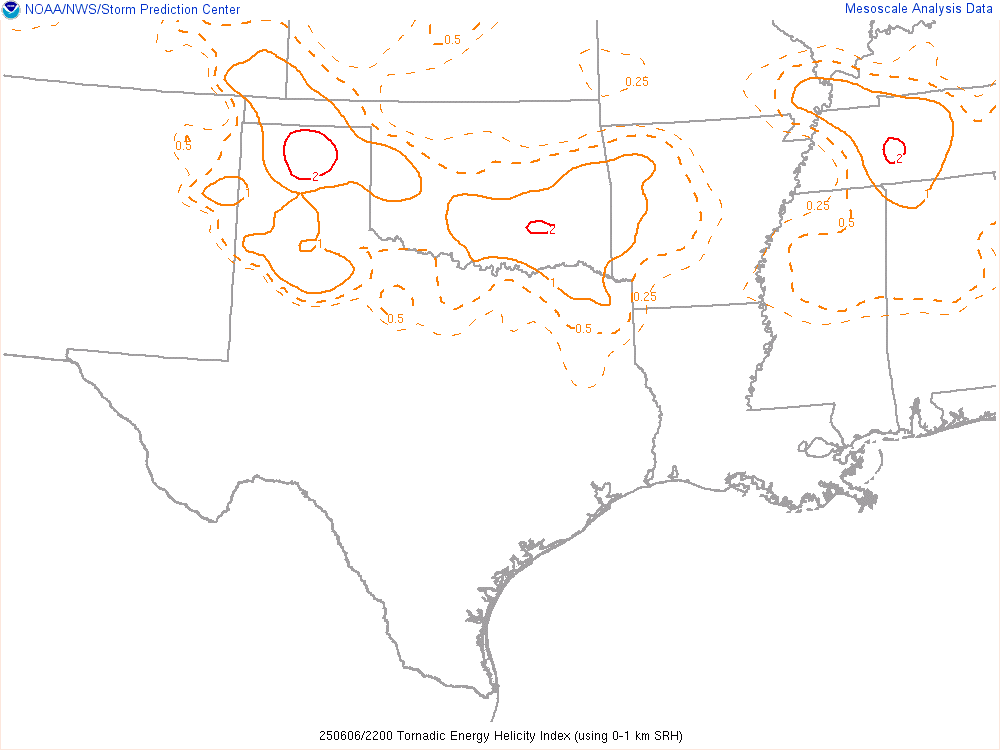
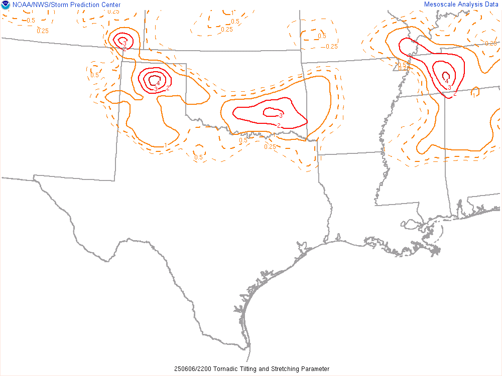
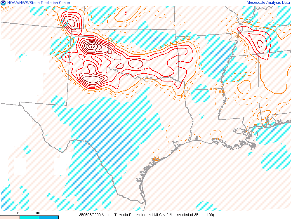
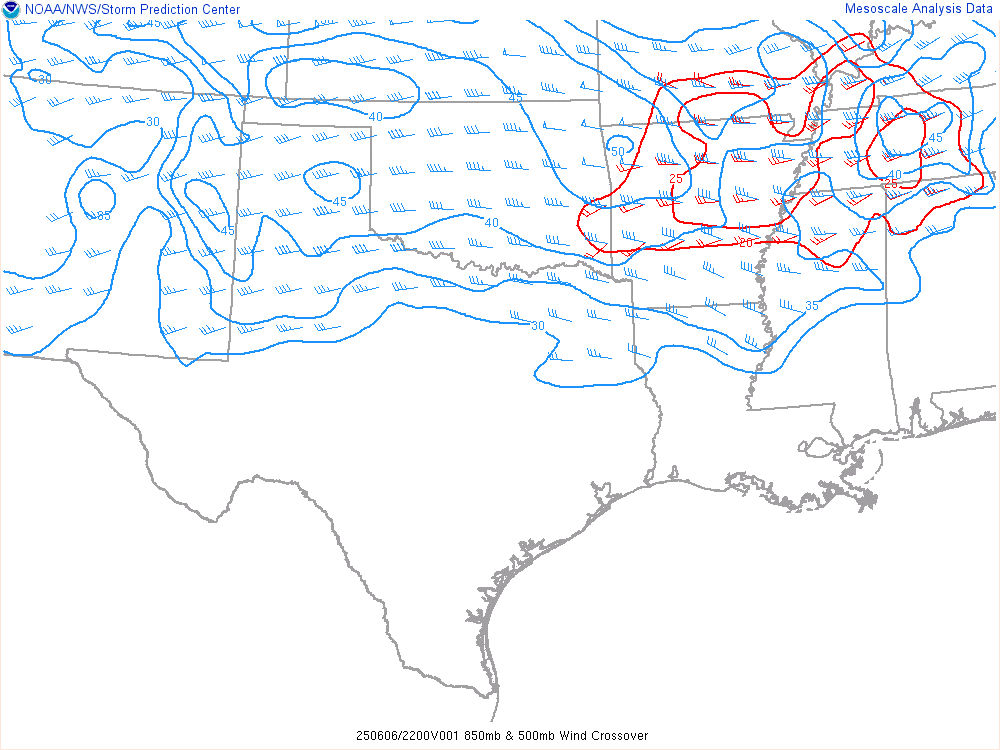
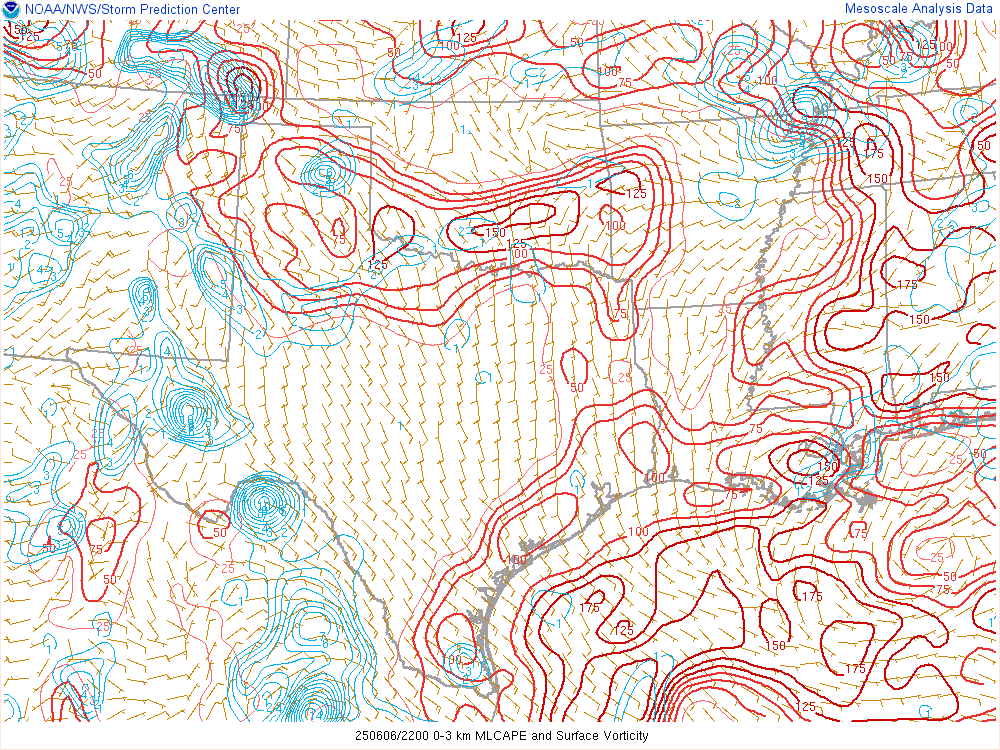
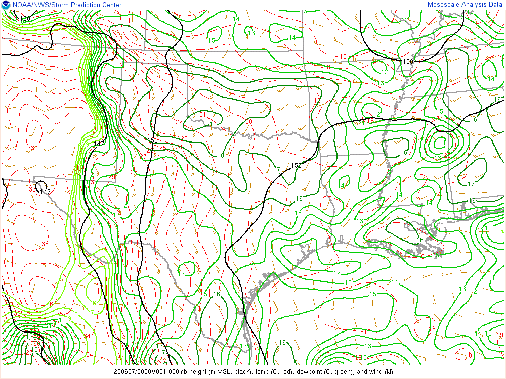
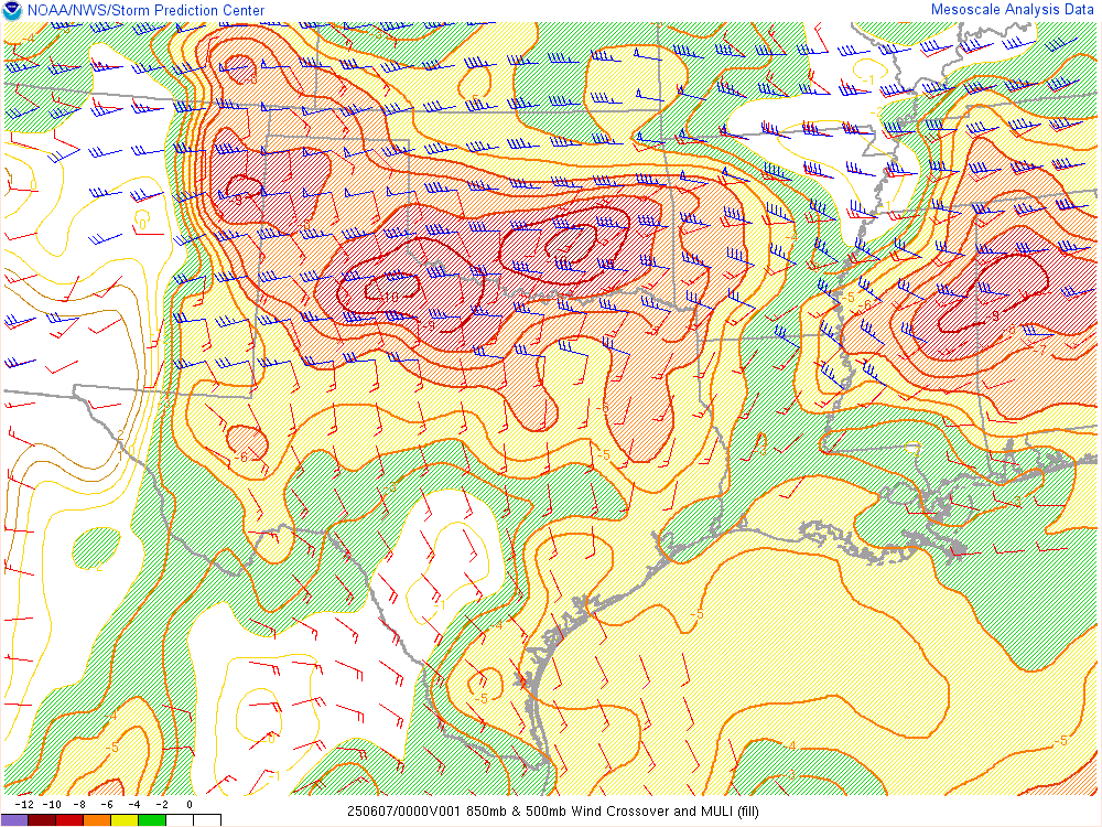
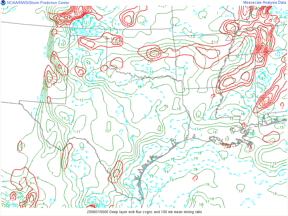
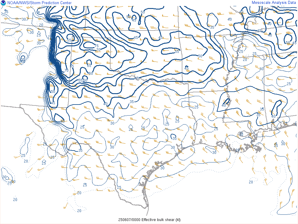
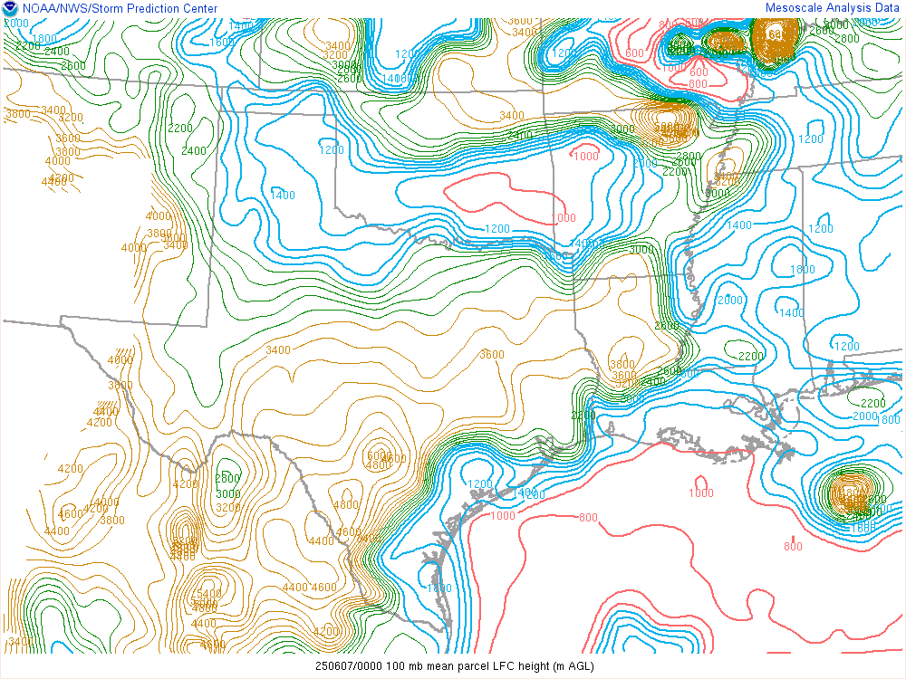
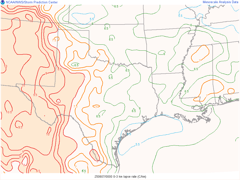
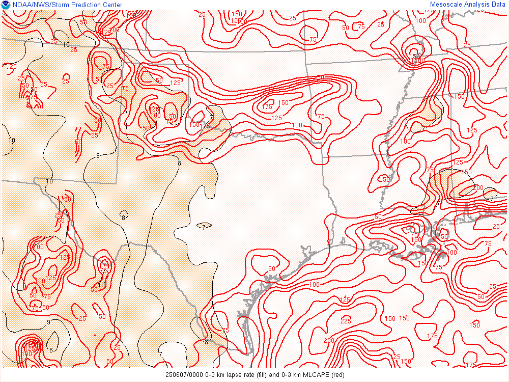
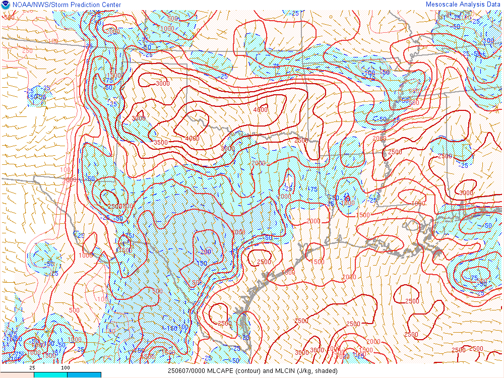
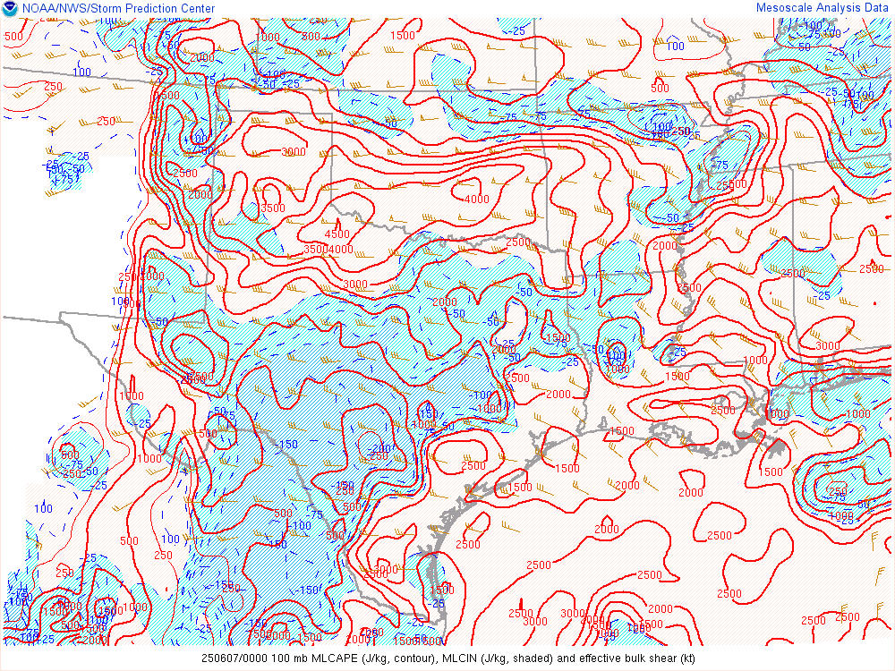
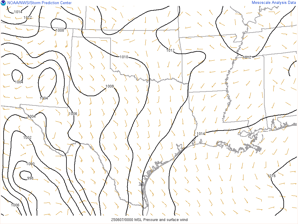
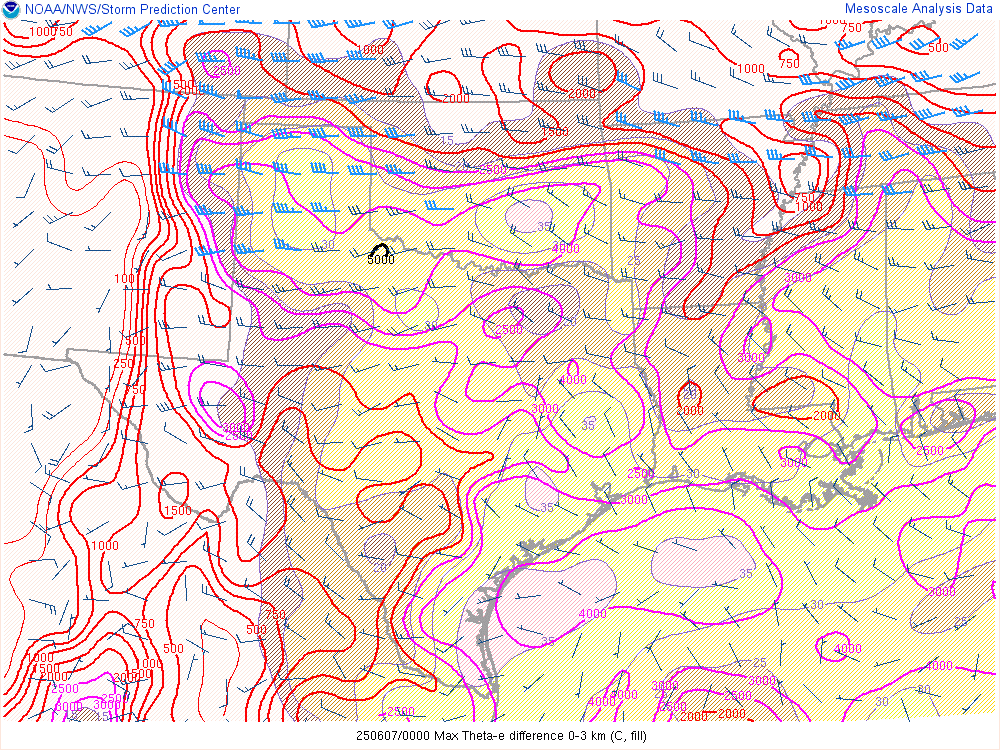
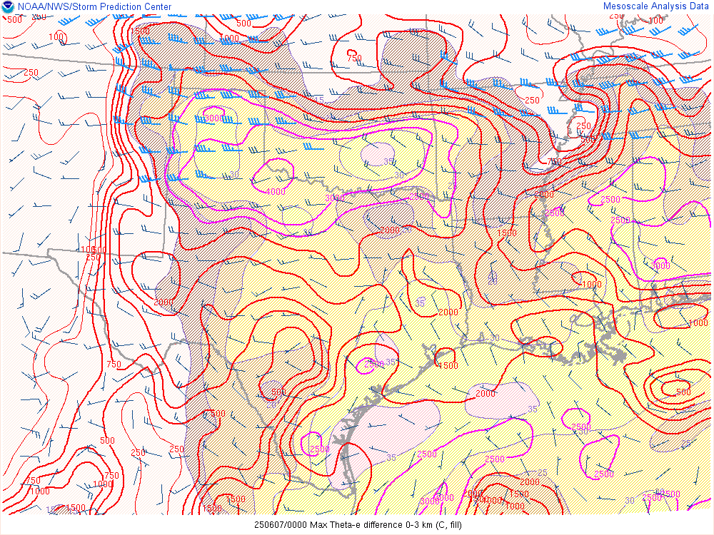
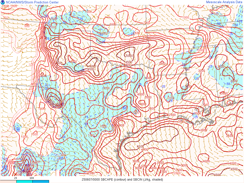
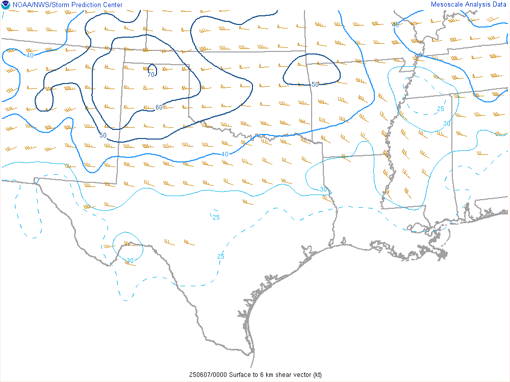
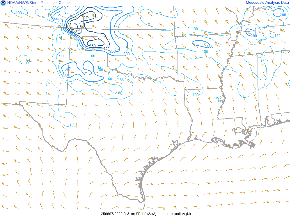
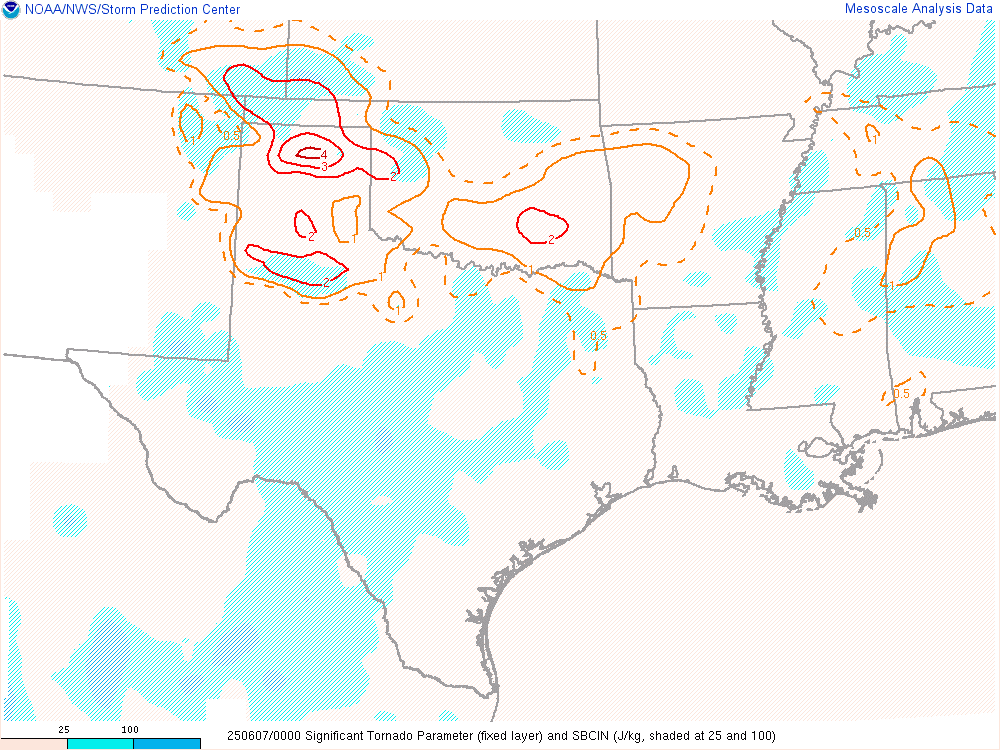
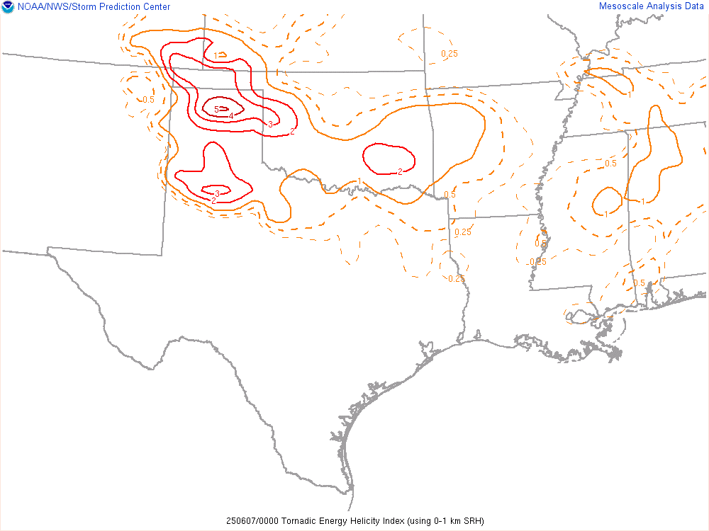
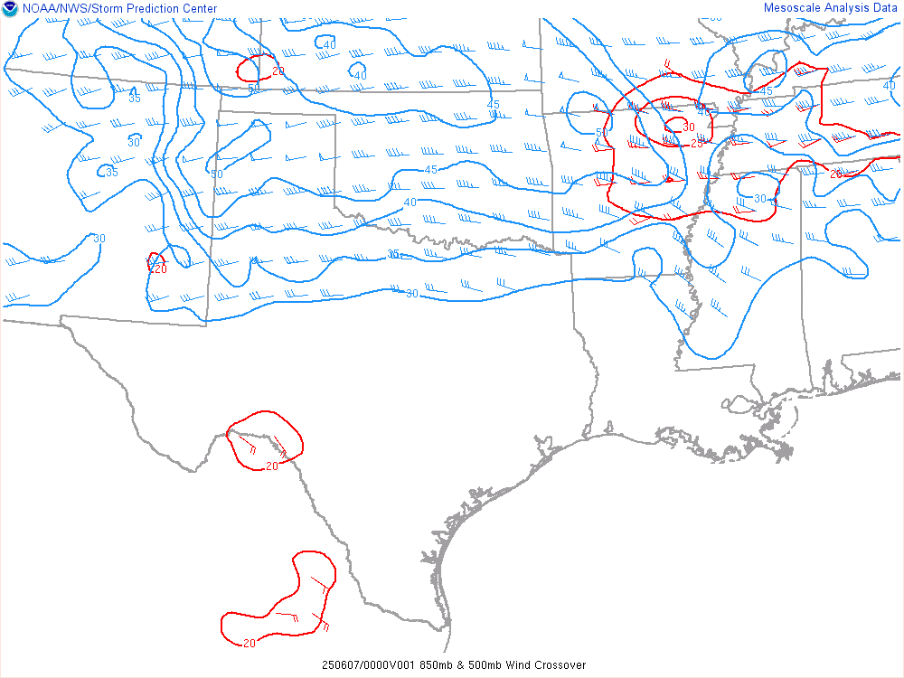
22Z SPC Mesoanalysis
We’d take a quick look at one of the storms going up to our west near Enochs. As you can see below, the updraft was healthy albeit a little narrow at this phase of the storm.


Visible Satellite Loop
I grabbed a visible satellite loop as storms started firing along the Texas/New Mexico border just after 5pm CDT.
Filling up in Morton
As we neared the storms along the NM/TX border west of Morton, we decided to stop in Morton and top off the gas tank. The timing was perfect, as we just had enough time to fill up and then get southeast on highway 114 to position south of Whiteface.

Organizing west of Whiteface
We sat along FM1780 watching the storm as it organized to our west. You can see a push along the RFD in this time lapse. The NSSL (or whatever field project was present) was launching weather balloons into the storm right south of us.
We were both leery of continuing east at this point as JR did not want to get into the hail. We decided to drop south, however, the road network to the south was awful. We’d have to make an 13 mile journey south to FM2196 east. The storm continued to wrap up and organize while we were on this trek.
As we emerged onto FM2196 east, we’d get a better look at the storm outside the drivers side window. It was another 11.5 miles to the east before our north option of FM303. This would give us the unique view from the due south of the storm.

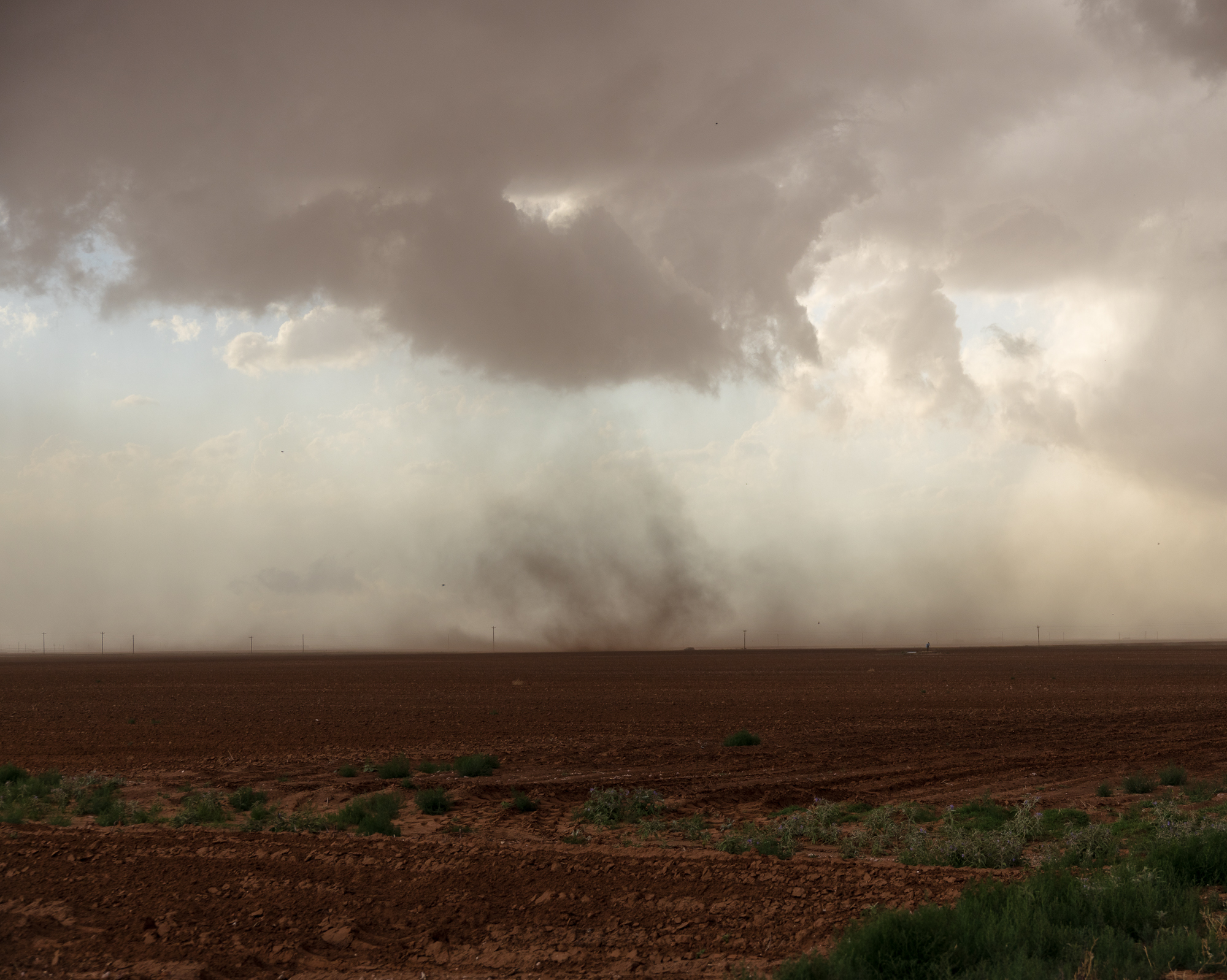
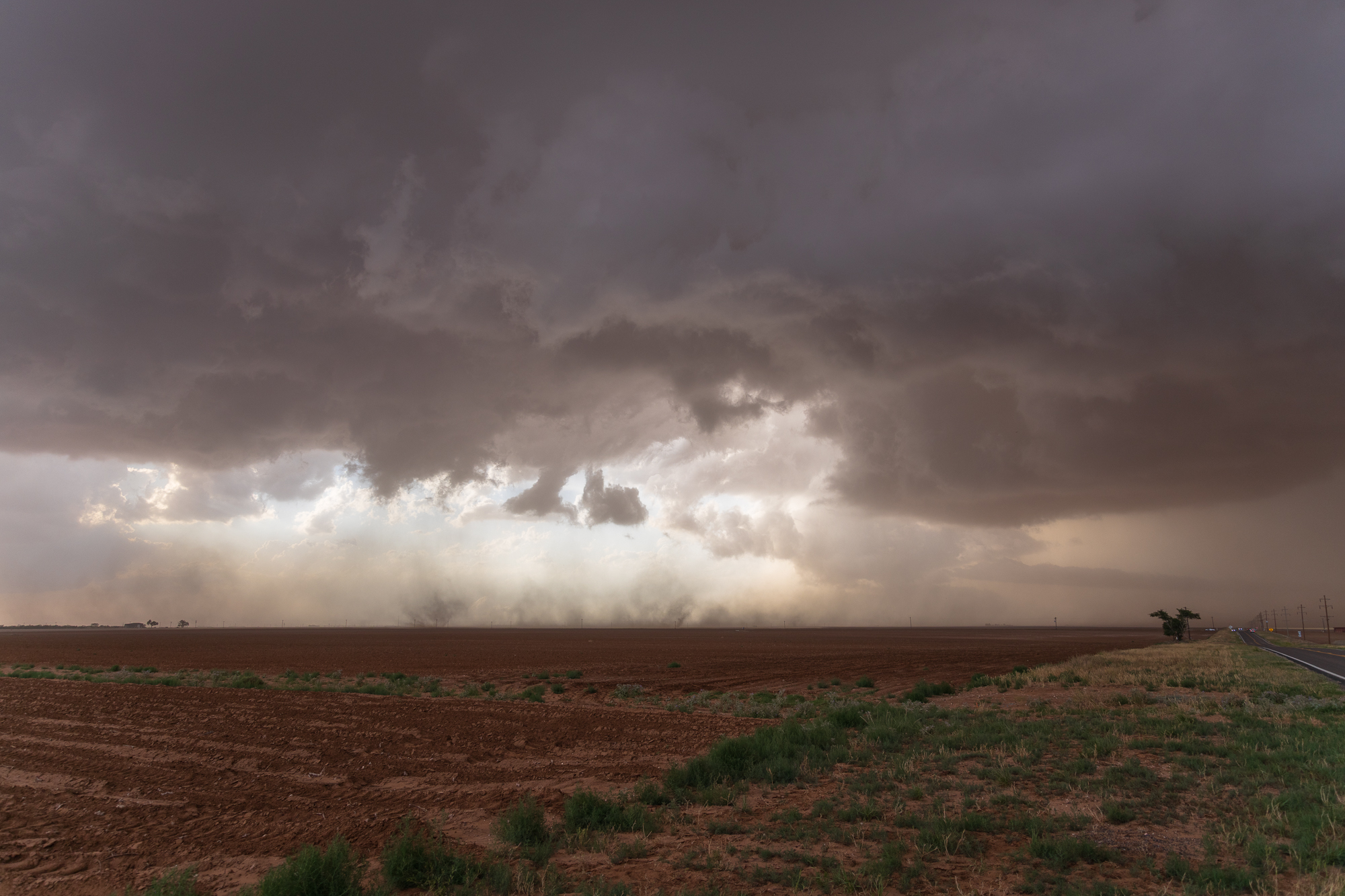
As we continued north on FM303, the storm would wrap up and produce a brief, weak tornado under a very bulky wall cloud.
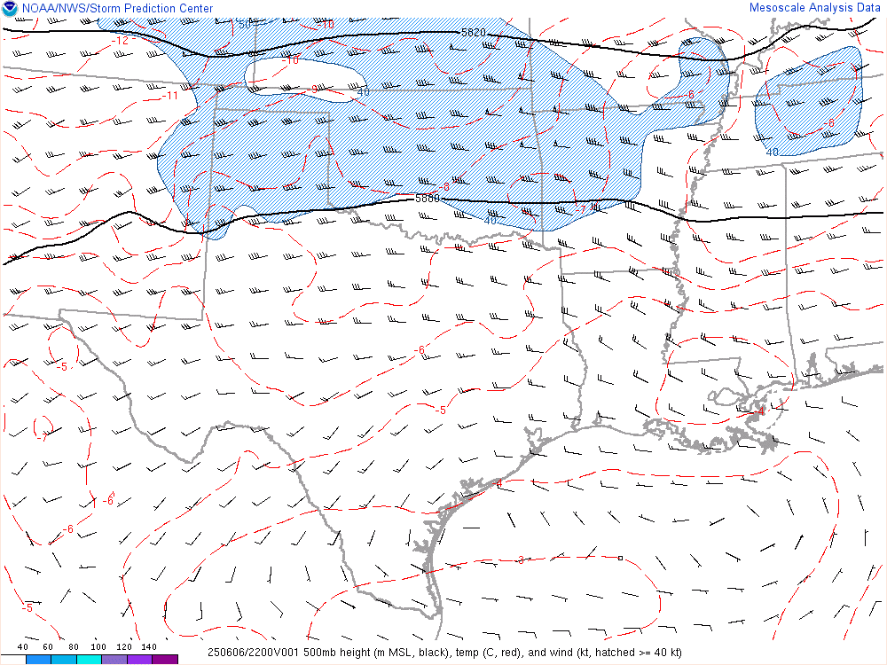
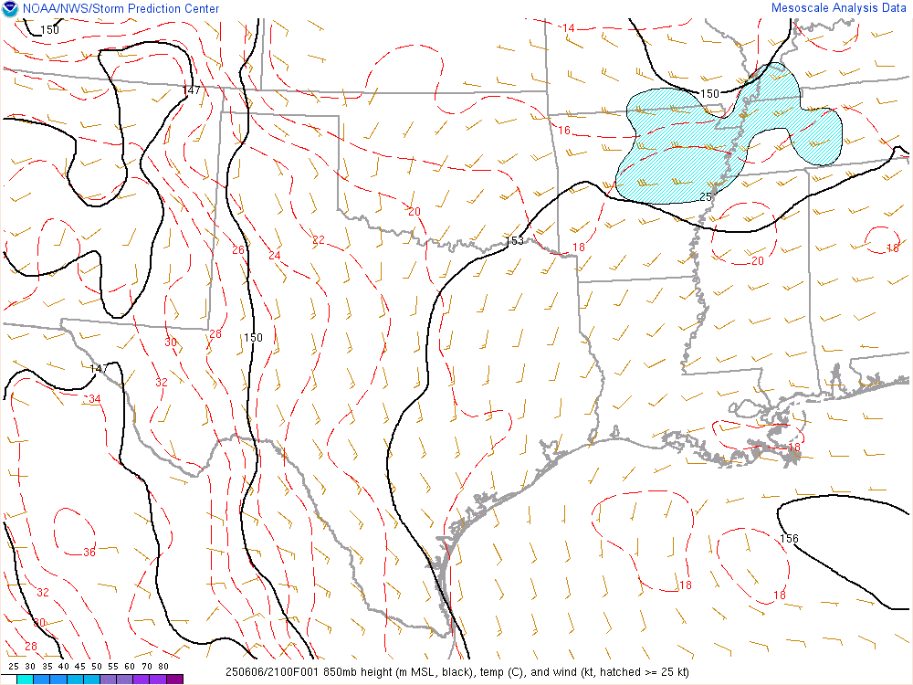
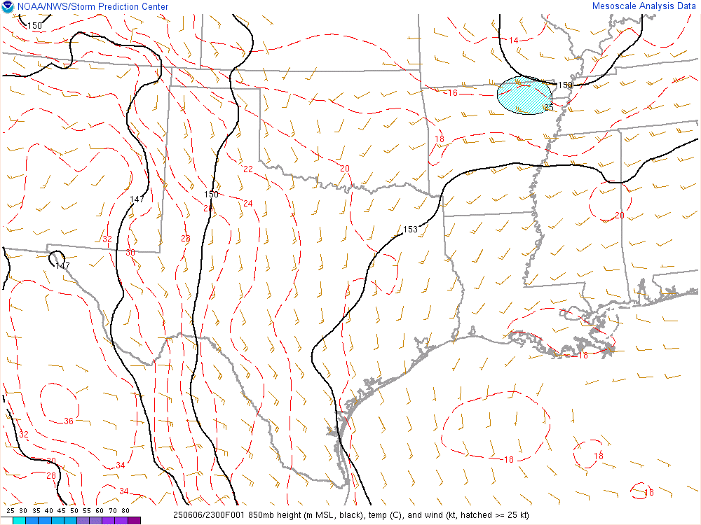
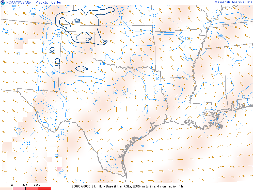
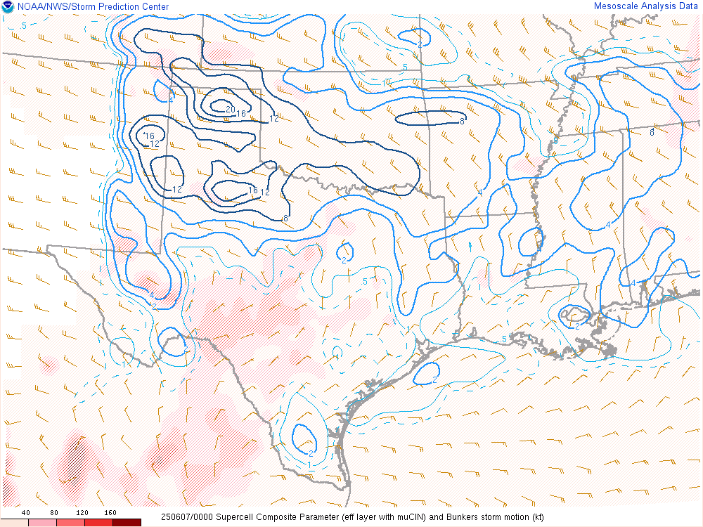
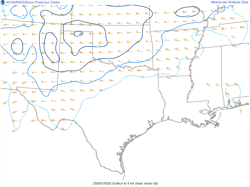
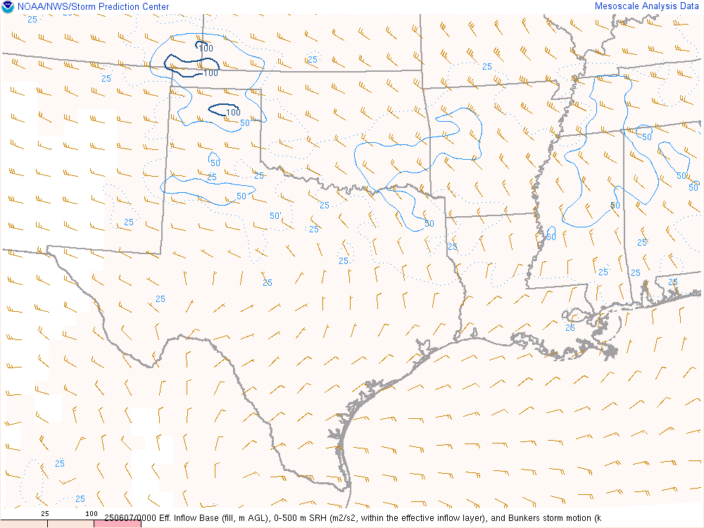
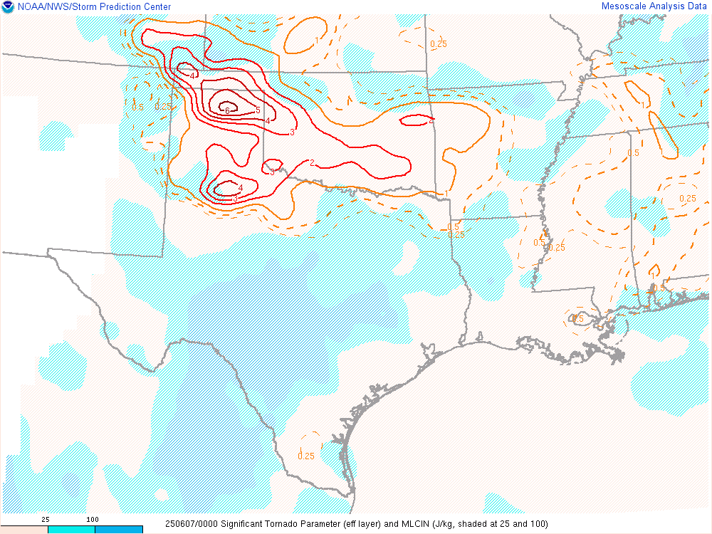
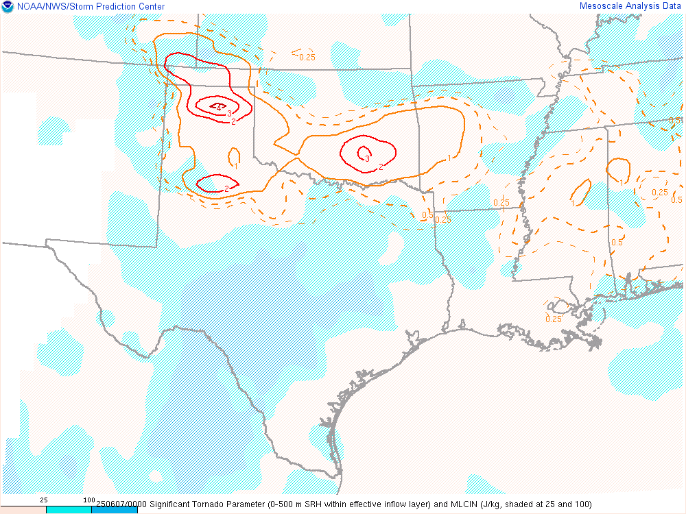
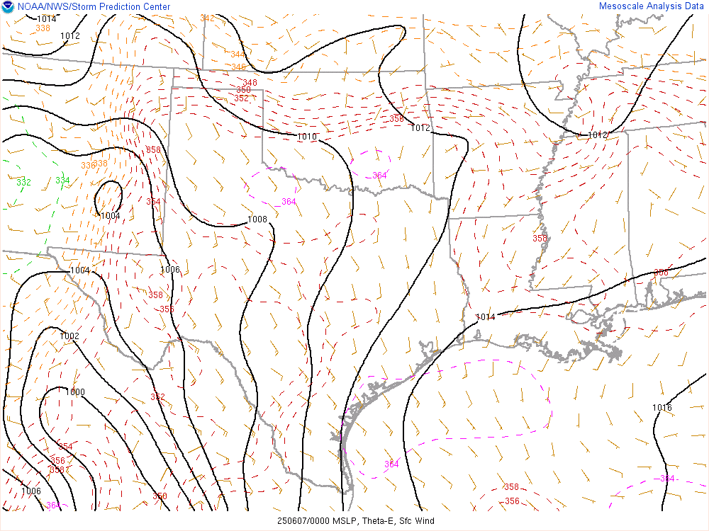
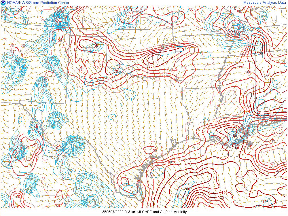
00Z/7pm SPC Mesoanalysis
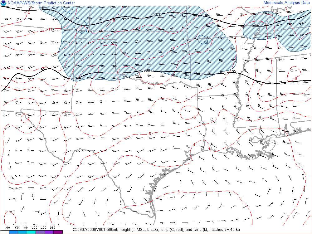

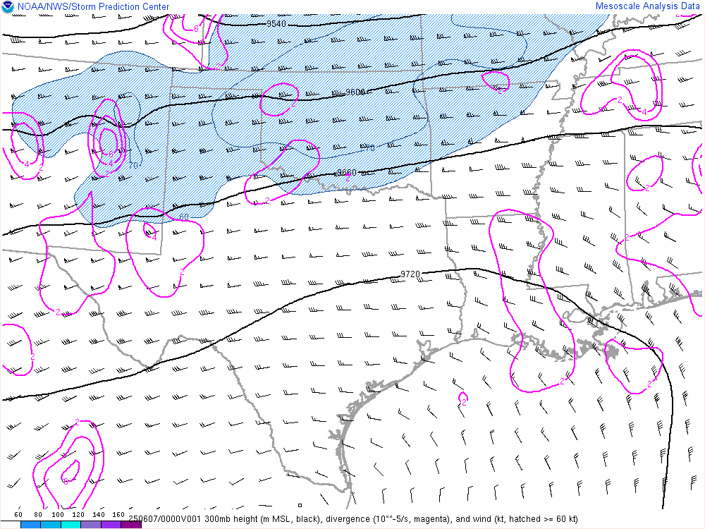
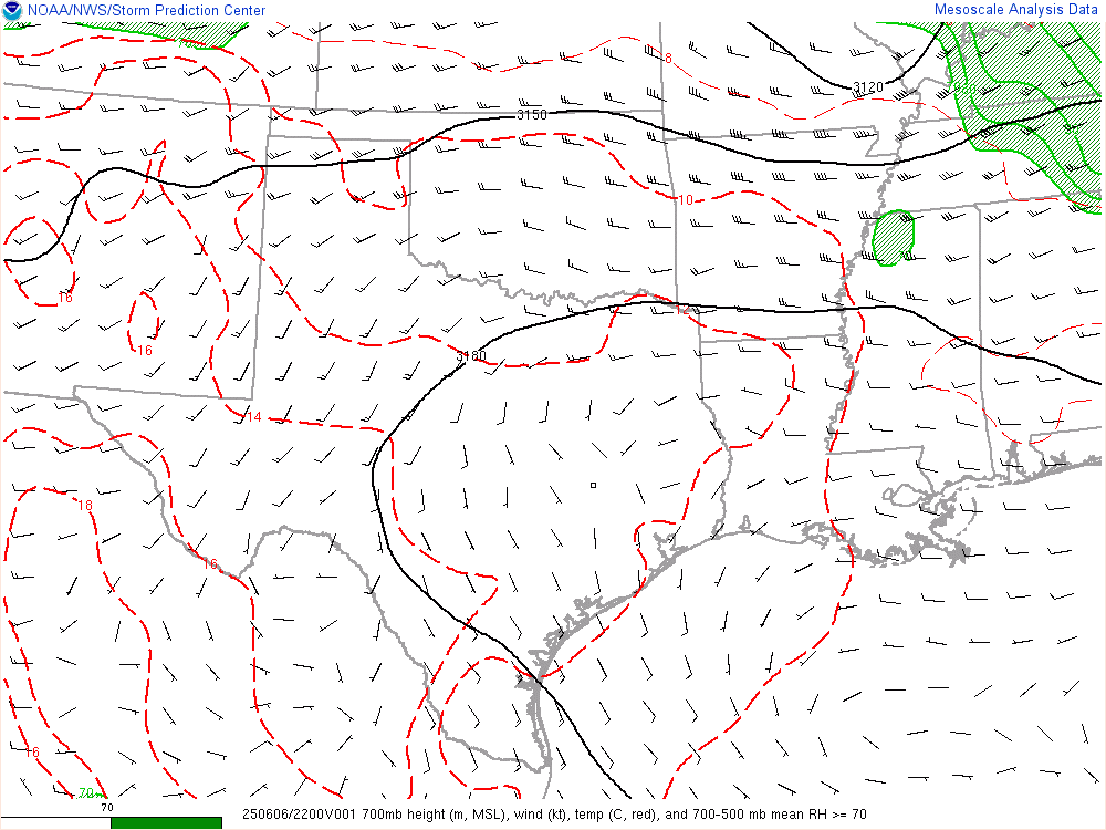
00Z/7pm Observed Upper Air Soundings


Tornado South of Sundown
At the intersection of FM211 and FM303 we pulled off and observed this tornado under the wall cloud just after 7pm.
We headed east on FM211 from this intersection and headed over to US385 near Meadow. We’d make a short jog north and observe another tornado and very rapid motion in a wall cloud.
Meadow Texas Tornado
As we headed north on US385, we’d witness the best wall cloud of the day. A very bulky wall cloud, spinning rapidly with an inflow tail coming in from the northeast. This appeared ready to drop a big tornado.

We stopped at the intersection with FM3261 and witnessed the Meadow Texas Tornado. A long conga line of chases was coming south on 385, so we continued back south after attempting to go up 3261. That was going to cut it way too close.
The radar at this time was showing the supercell riding a boundary east/southeast while pushing out a boundary from the RFD Gustfront.

As we returned to FM211, we continued east, crossing US62. We continued east a few miles towards Lakeview before looking back over our shoulders and seeing this large rope out of a tornado.
Ropesville Rope Tornado

The rope would appear for approximately a minute as it slowly faded away into the sun rays and clouds.
More Gustnado/Tornado things
We headed south from here at FM179 and witnessed a bunch of these gustnado thingys. Some were quite persistent.
Here’s some video. We saw probably 8-10 of these things total.
Structure
Finally we got to US380 and headed east. Due to dust and haze, we did not have a very good view of the storm until we got east towards Tahoka. Once clearing the dusty inflow from this storm, we were presented with an alien ship looking storm.

As the storm continued to head east and dive south, the original boundary it was riding started shooting way south, passing south of 380 and further. The storm to the east was becoming much more widespread and linear in fashion, and it seemed like a good time to call the chase. Nightfall was coming soon and we had a long drive home ahead of us. We contemplated stopping at a hotel, but not a lot of options without backtracking to Lubbock.
Calling the chase and heading home
As we got to post, we started to discuss dinner options. Not much outside of McDonald’s open in Post, so we decided to continue on to Wichita Falls and Buffalo Wild Wings. We’d down some wings before continuing on to OKC, arriving back somewhere between 2 and 3 in the morning. Overall a pretty successful out and back chase in the Texas panhandle.


