Storm Chase Details
Miles Logged: 857
States Chased: TX
Tornadoes Witnessed: 2
Largest Hail Encountered: 2.00 in.
Highest Wind Encountered: 50 MPH
Spotter Network Reports: 1
Severe Risks: SPC Outlooks
Severe Reports: Storm Reports
I woke up in Snyder Texas hoping for a target near Midland. That’d be an hour and a half leisurely drive. Unfortunately, I’d find myself in the area devoid of roads known as Fort Stockton.
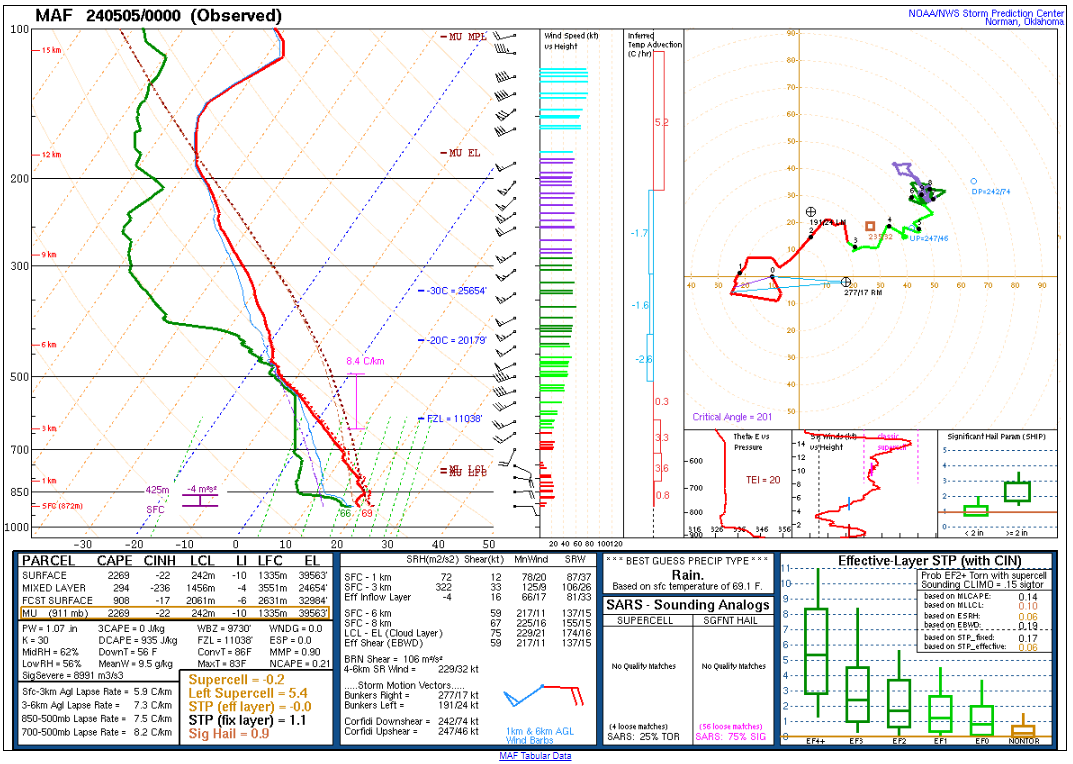
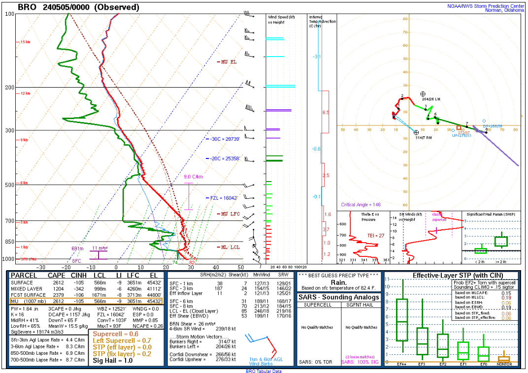
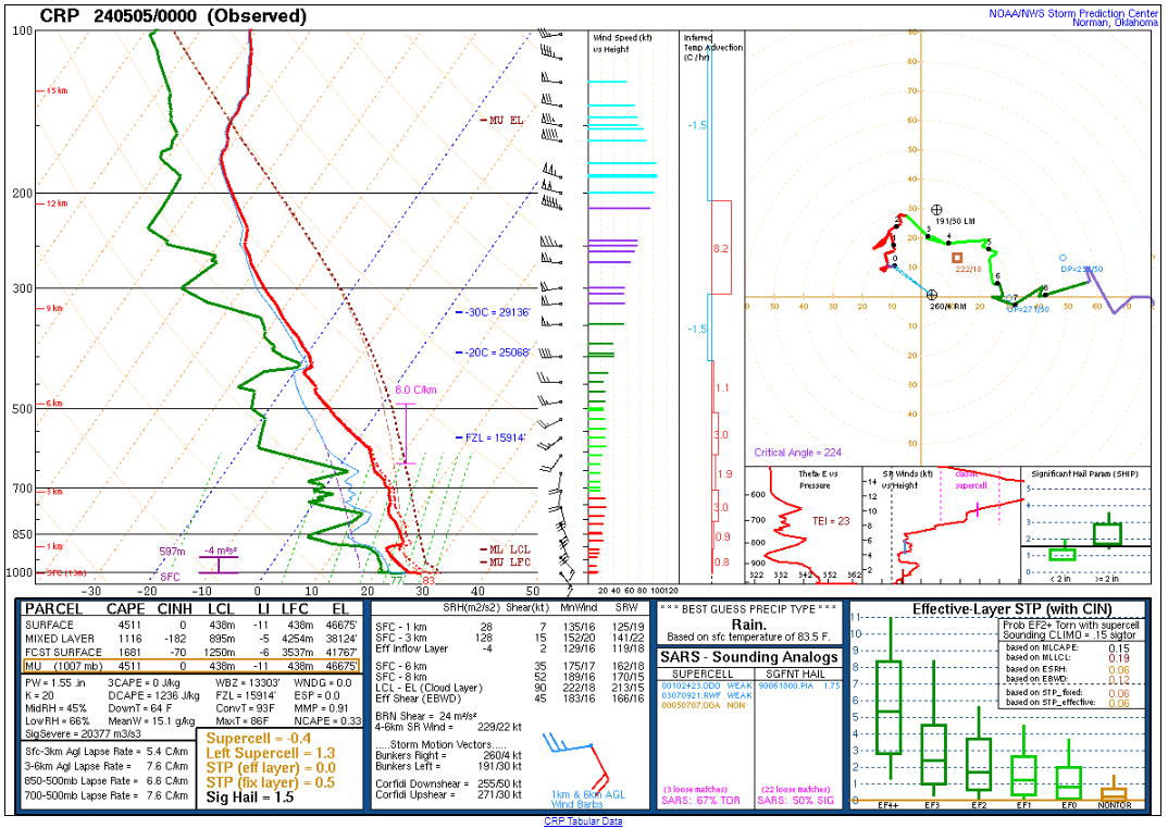
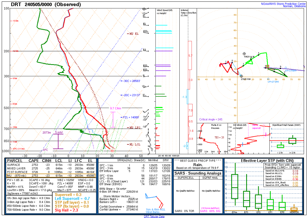
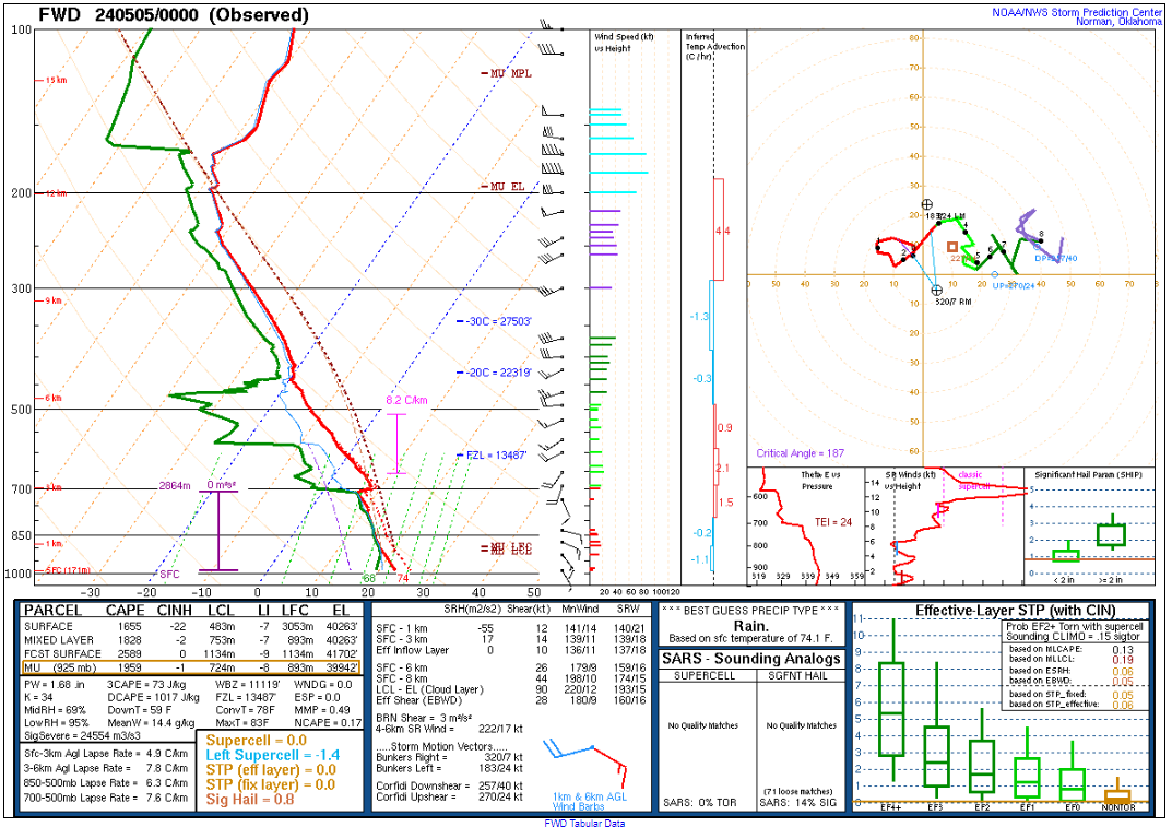
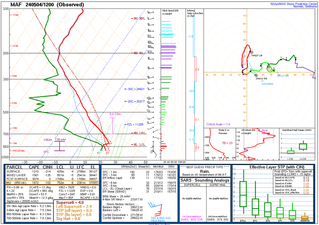
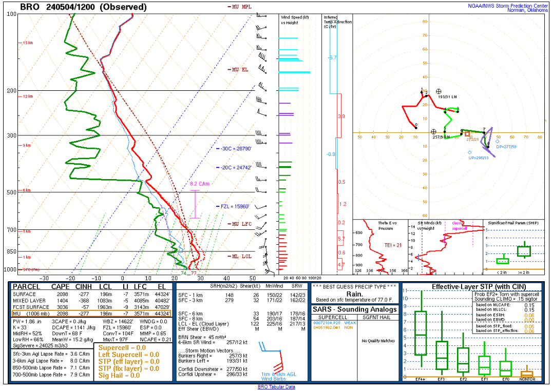
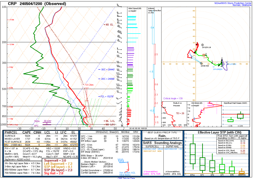
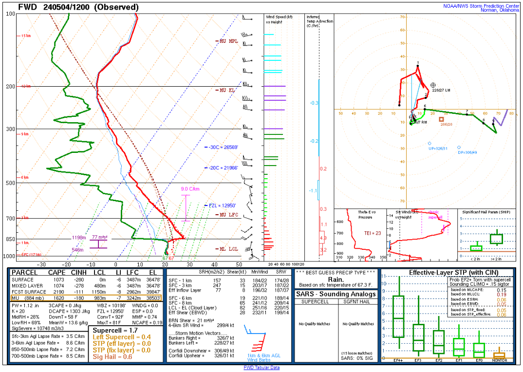
12z/7am CDT Morning Upper Air Soundings
Morning soundings showed a pretty moist environment at Midland and in the warm sector to the southeast. A boundary was moving south from the overnight and morning convection. I was expecting it to stall, but it never really did throughout the morning and early afternoon.
Dropping South
Visible Satellite showed some cumulus near the I-10/20 split north of Fort Davis. This was early in the day as well. I figured that storm would be the best to be on. Unfortunately that meant dropping south. I headed south out of Monahans on I-20 down to Fort Stockton. The storm was still west of 67, so I took 10 west to 67. I’d drop south a few miles on 67 and watch the storm coming at me.
As the storm approached 67, I headed back to I-10 and went east as the road options are few and far between down there.
Going through Fort Stockton
I took a brief look at the storm on FM2037. It looked kinda grungy, with a decent inflow. I continued east into the city of Fort Stockton. I dropped south on Sycamore street and took the loop around town. It started hailing as I got to 385. I continued east to 285. I knew roads were scarce, and did not know that FM2023 connected to 285. So I bailed into Fort Stockton and east on I-10. I was positioning to get ahead of the storm as I didn’t want to get smacked with huge hail.
Supercell Time Lapse
As I headed down FM2023/Puckett Road, I was able to find a good place to stop for a vantage point. I decided to take a time lapse of the storm, which would produce a tornado while recording. This was with my Canon EOS R and 20mm Sigma Art wide angle lens.
Getting Closer
Realizing I could get through to 285, I started heading down to get closer to the action. The storm had definitely turned more southerly than easterly. Will have to study the roads in far west Texas a little more closely before chasing in the future. Anyway, another tornado would happen while I was driving
I headed northwest on 285 and kept driving until I noticed big hail hitting the pavement. Probably bigger than tennis balls, so I flipped a quick U turn and headed back south.
The storm would hang around US285 for quite some time before finally moving over the road. I used that opportunity to drop way south to FM2400 and then north on FM2886. I ran into Bill and we both decided it was becoming impossible to chase because of the roads. The storm also appeared to be blowing out.
We made the decision to try and get home that night. Pulled back into Norman really late.