Storm Chase Details
Miles Logged: 686
States Chased: MN, WI
Tornadoes Witnessed: 1
Storm Mode: Supercell - LP
Milestones:
- First July Tornado
- First Wisconsin Tornado
Severe Risks: SPC Outlooks
Severe Reports: Storm Reports
After spending the previous week in the Wisconsin Dells on a vacation with my sisters family, I stuck around for the prospect of storms on Monday. A big 300mb jet streaking across the northern United States had me intrigued. I also helped my friend in the Minneapolis/Saint Paul metro wire up his new vehicle with an inverter and radios. That project would end up taking up most of the week outside of Monday.
Nadocast
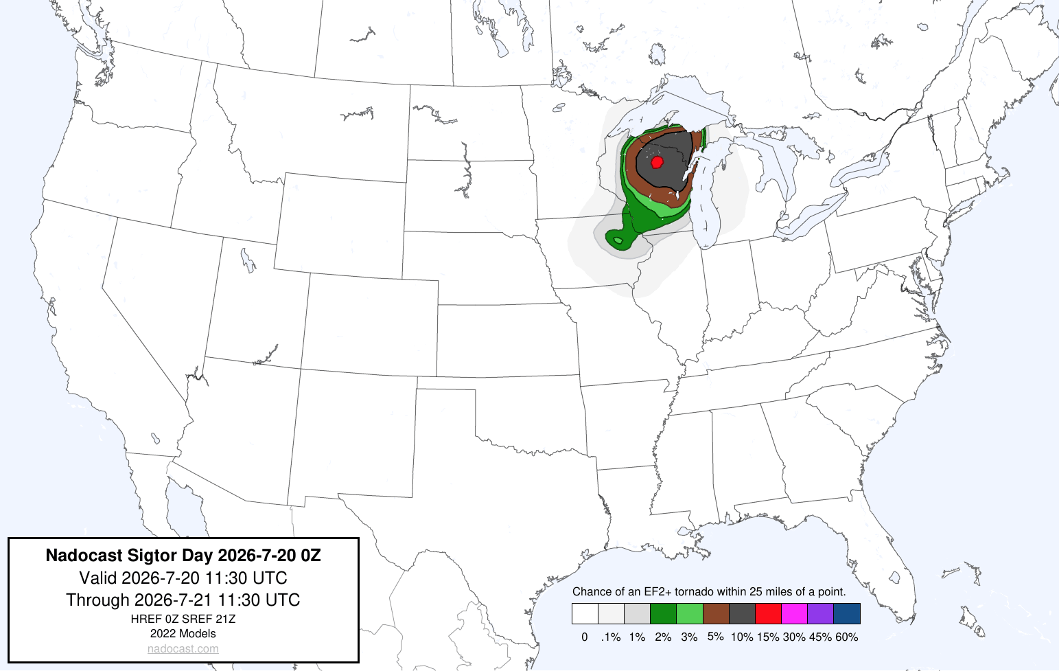
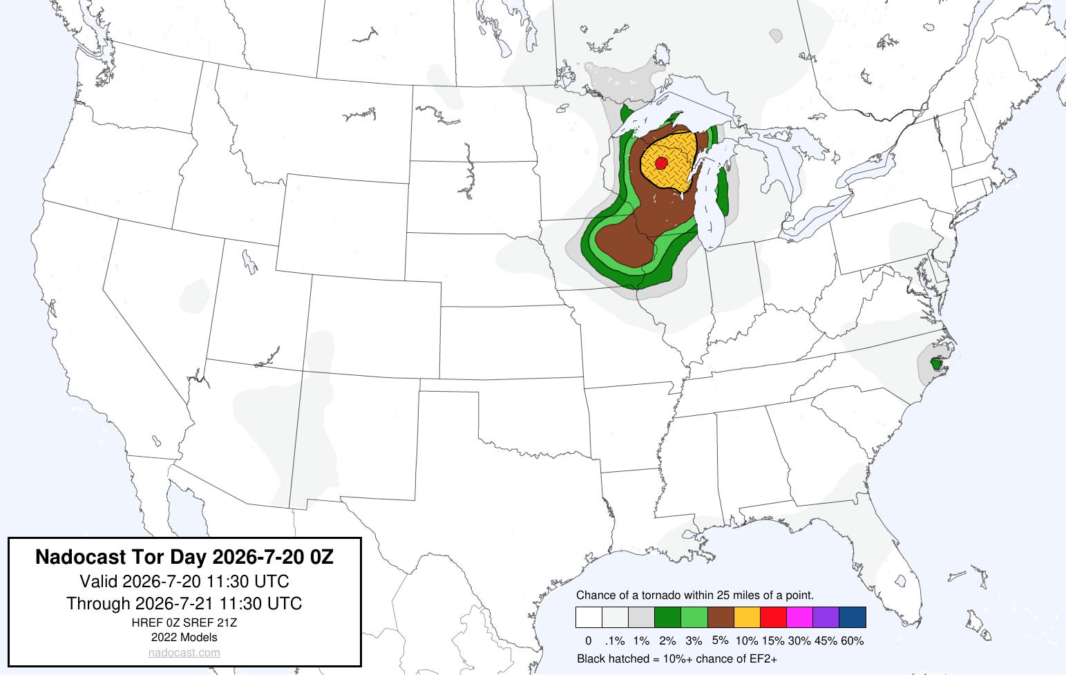
Targeting Western Wisconsin
My initial target was in the Dubuque area, into Western Wisconsin. Some of the worst chase terrain I’ve ever seen, and I just drove through a lot of the Driftless Area a few days prior after checking out of the vacation rental. I took the day off and departed the Twin Cities metro around lunch time, heading down US52 towards Rochester. I’d end up getting lunch in Rochester and then head east on I-90.
16Z/11am CDT SPC Mesoanalysis
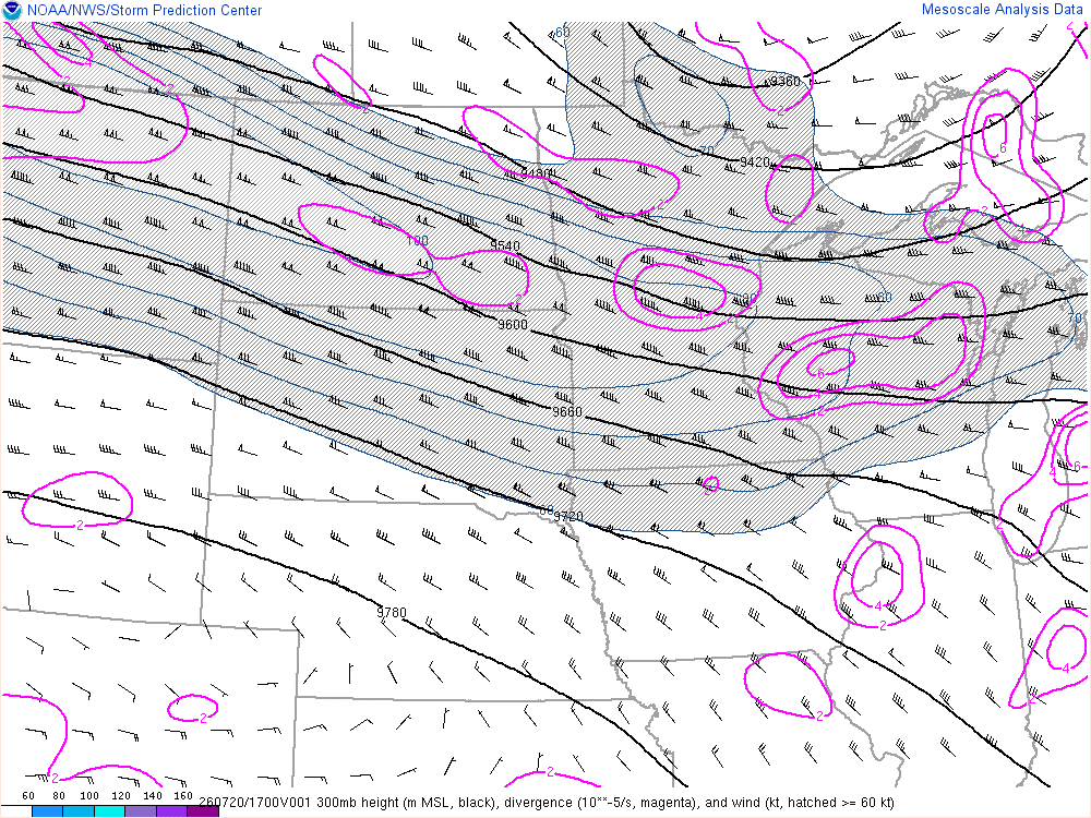
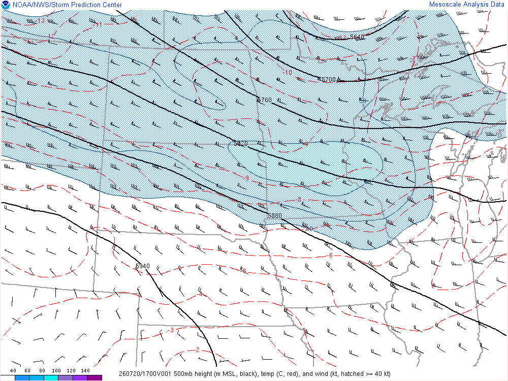
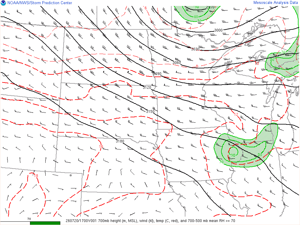
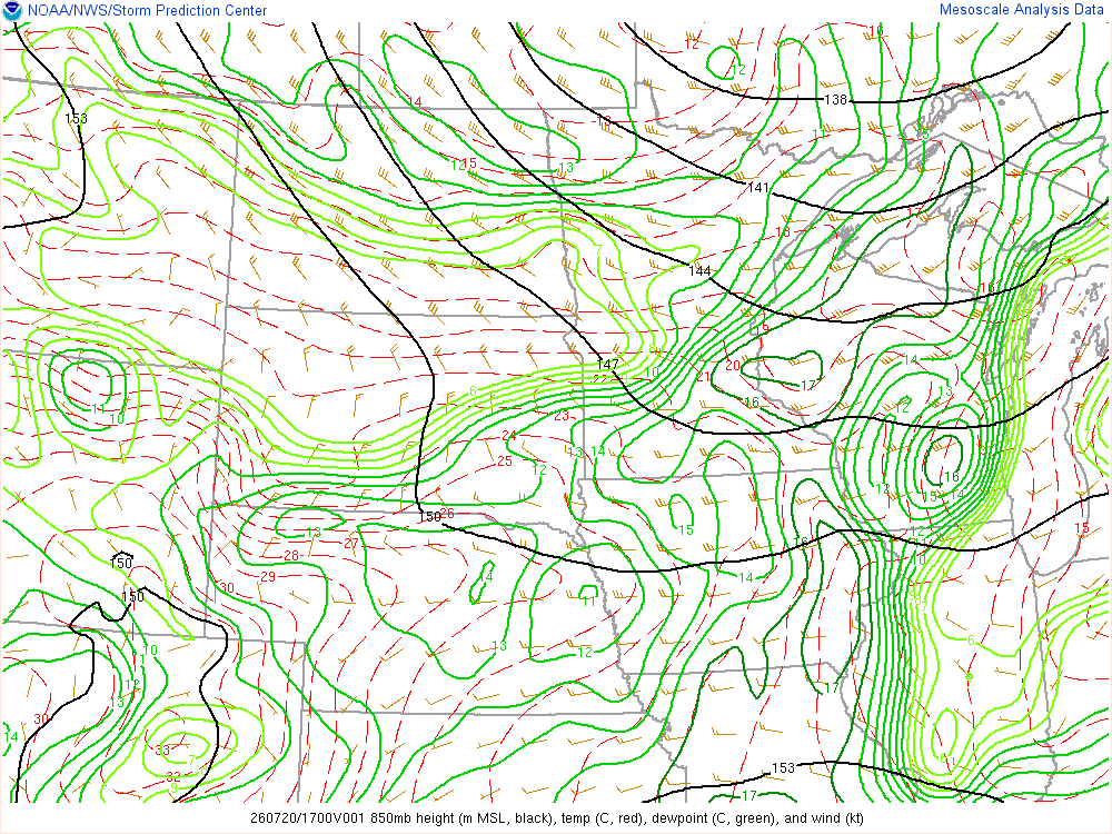
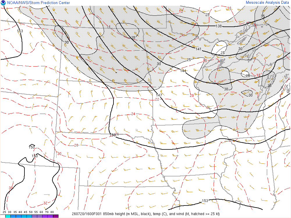
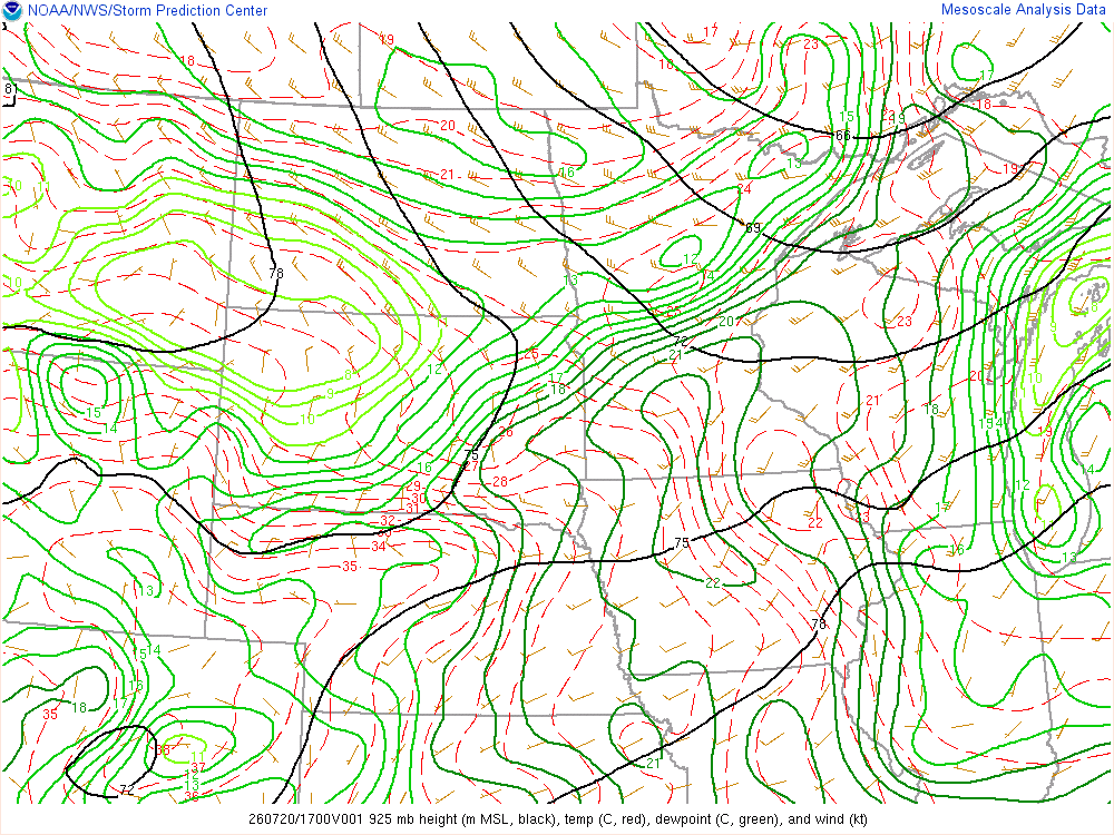
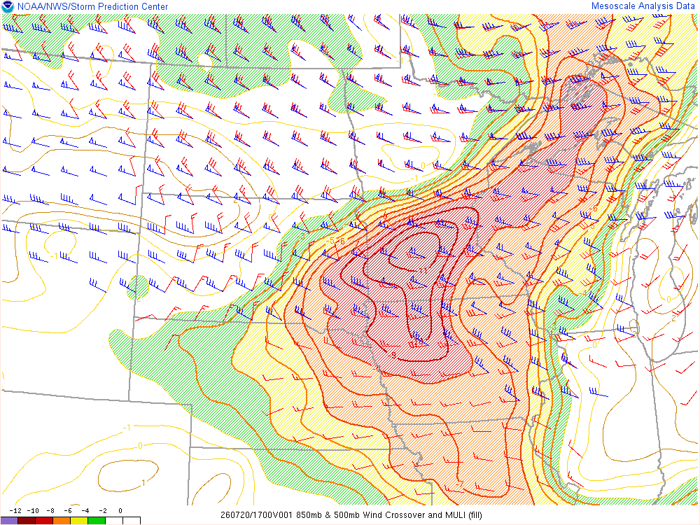
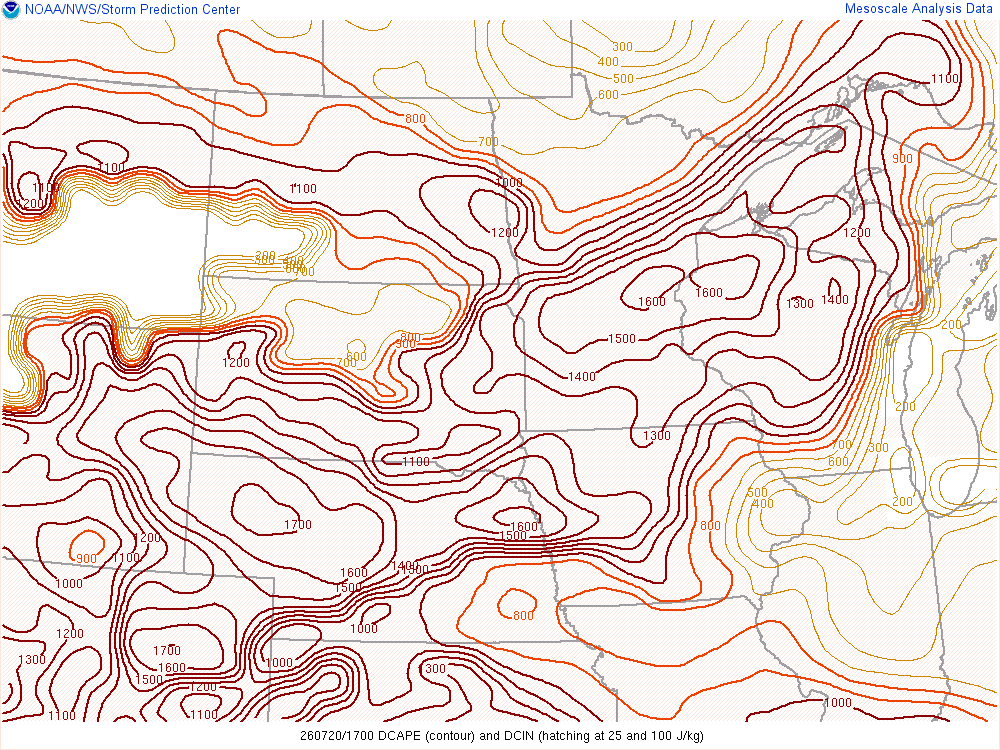
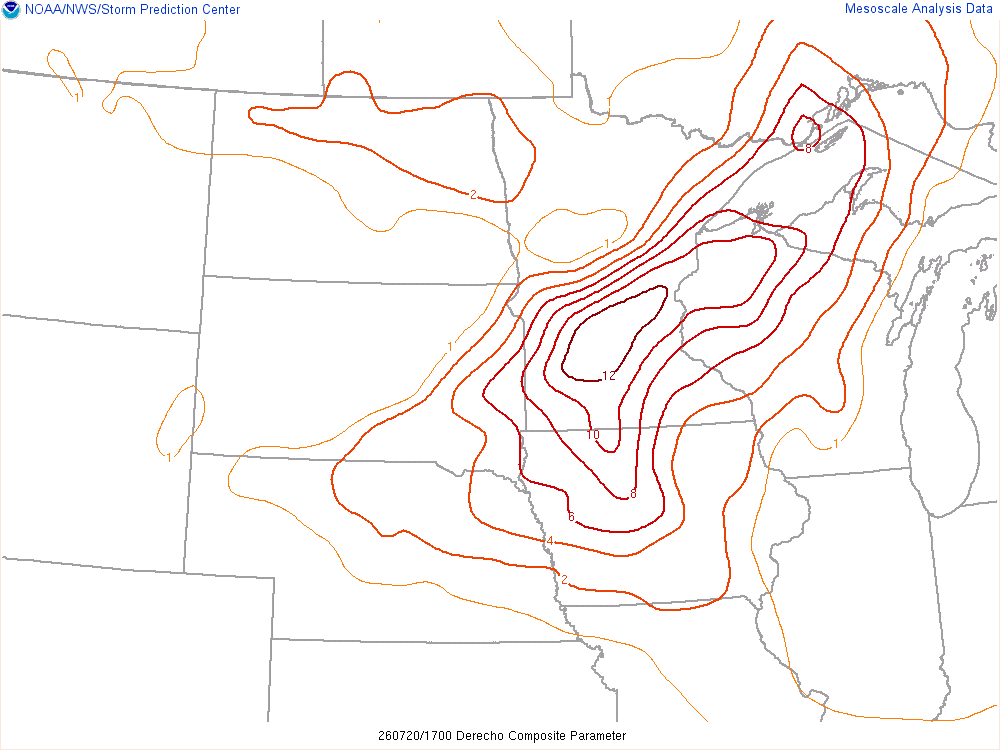
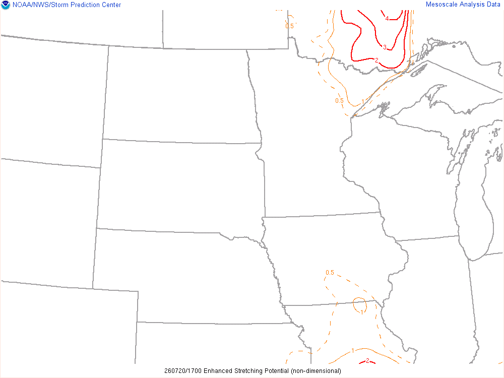
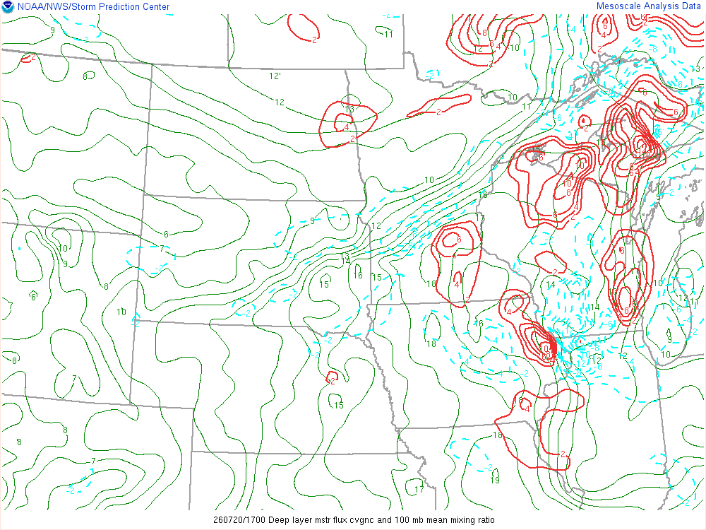
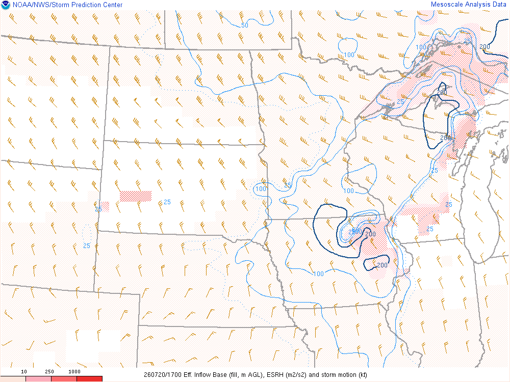
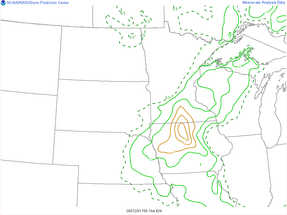
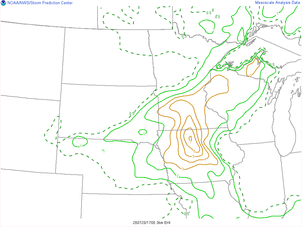
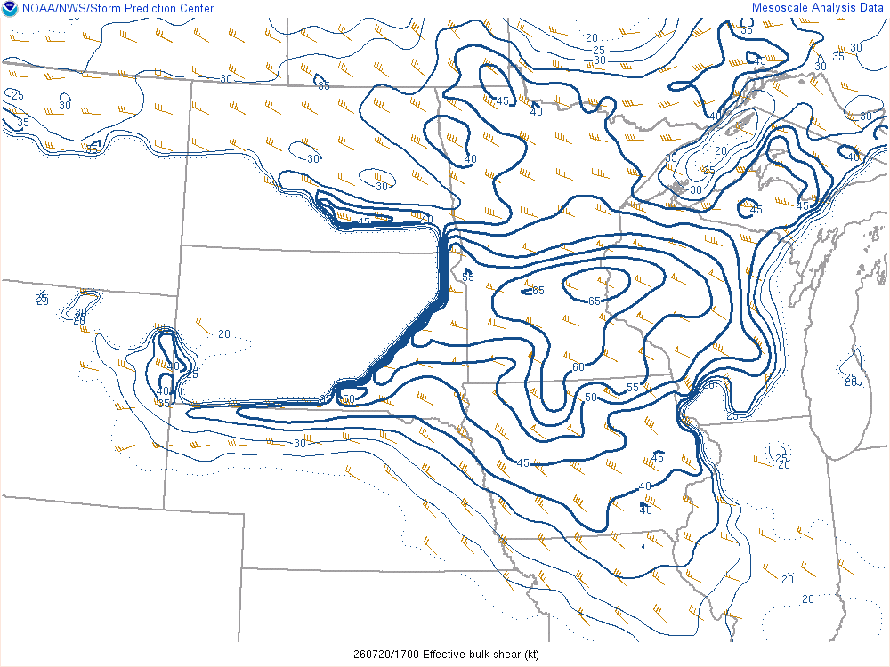
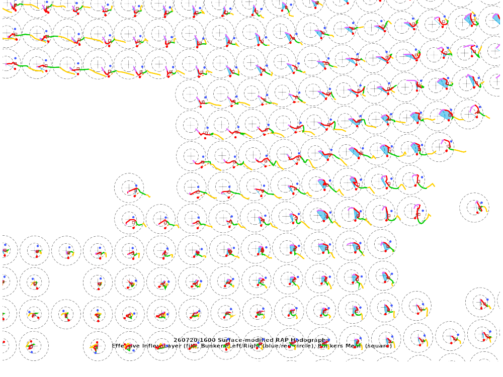
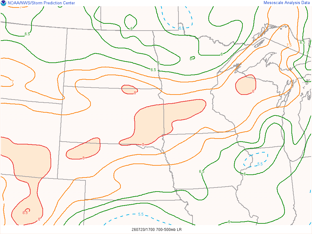
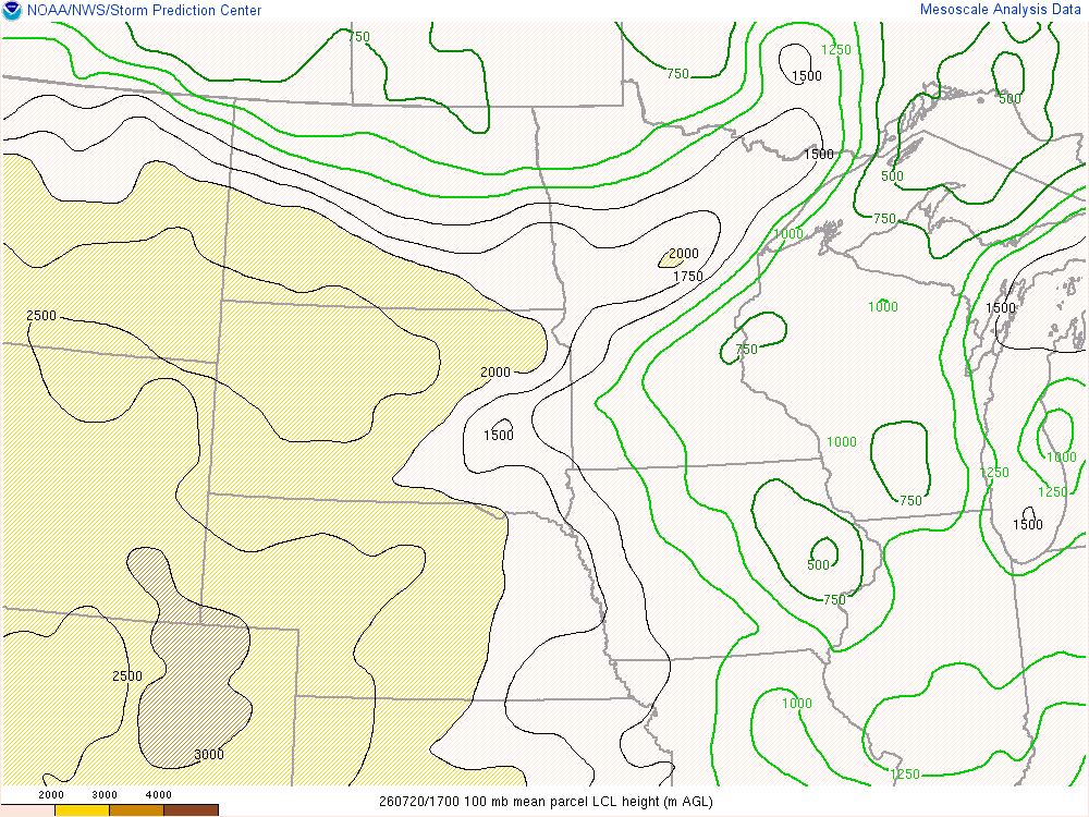
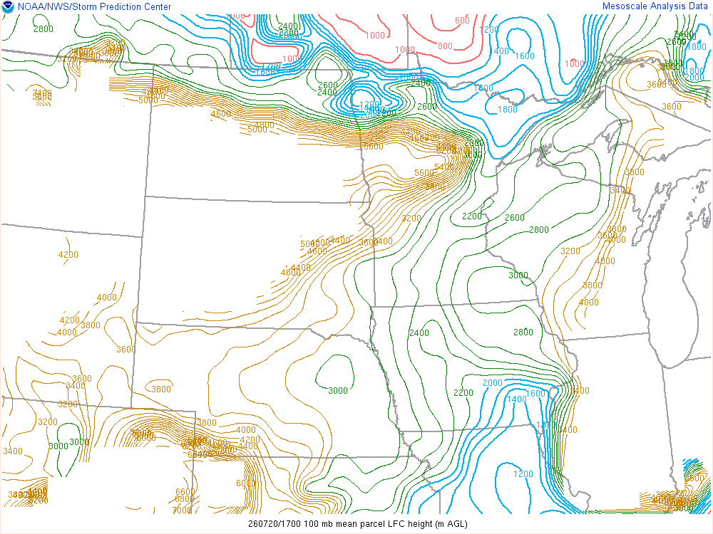
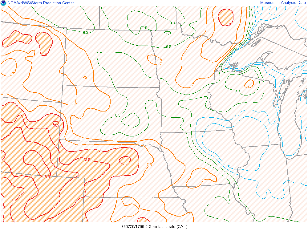
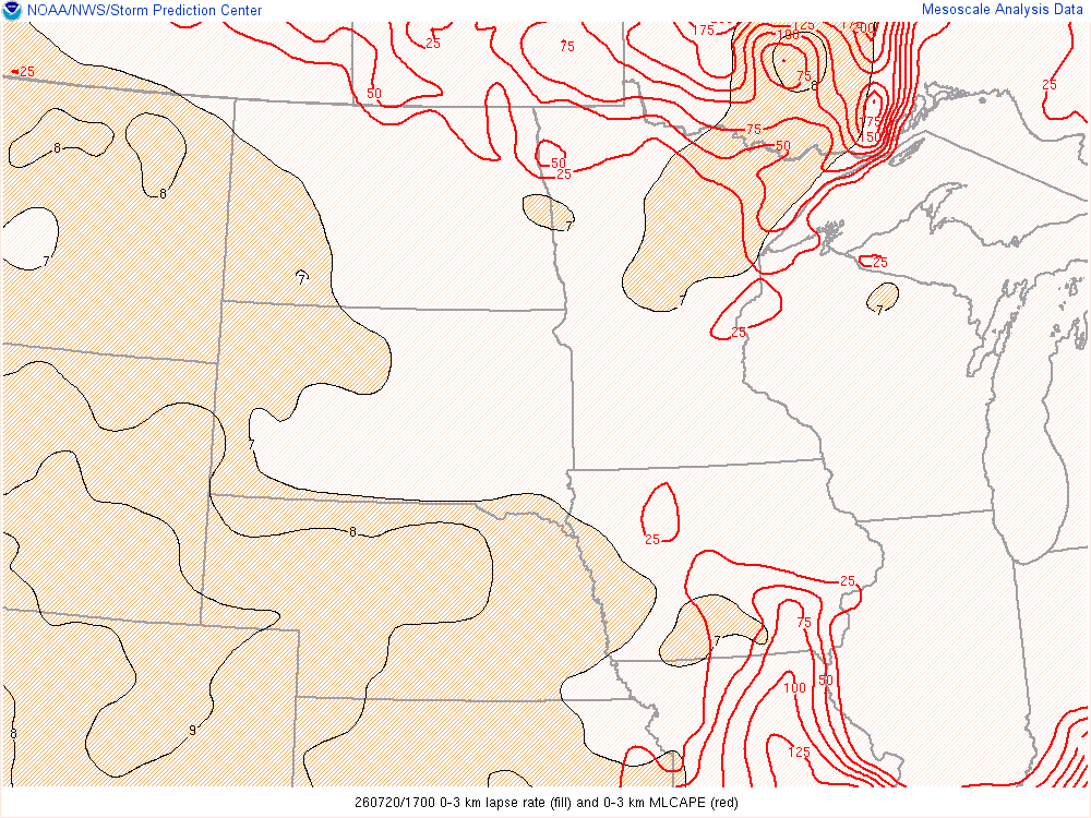
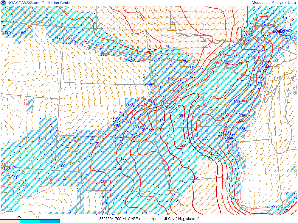
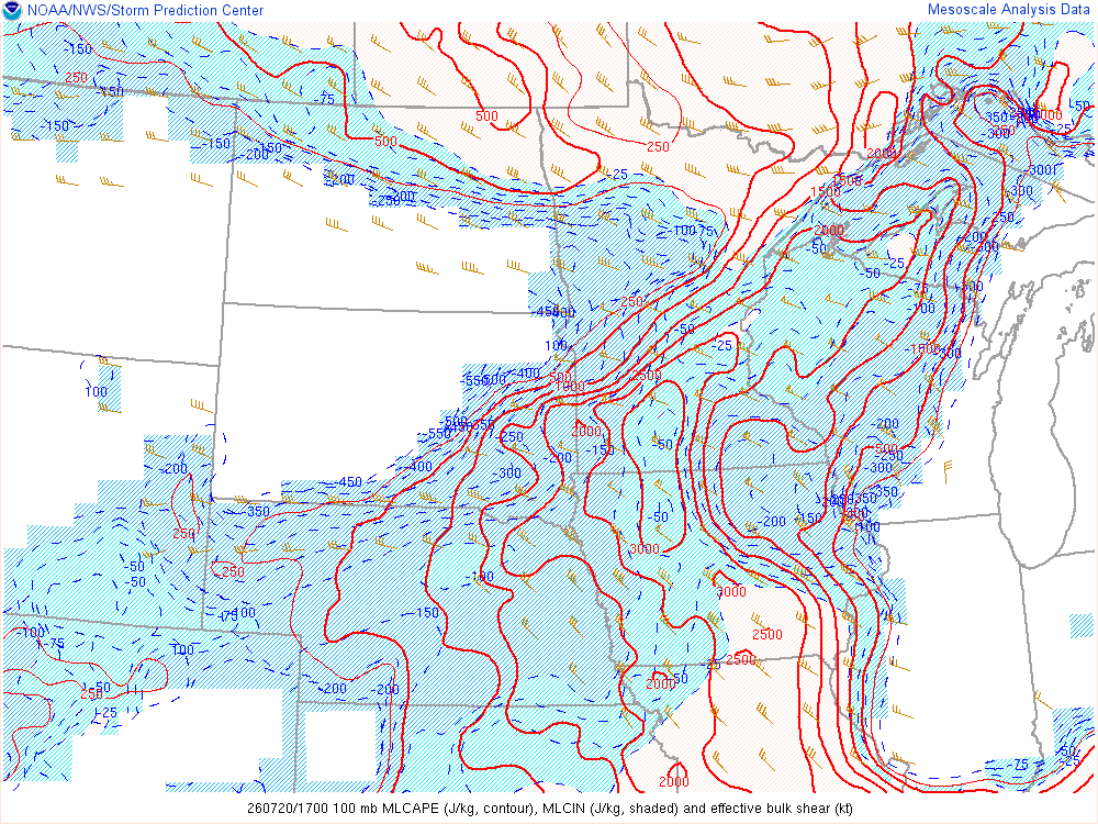
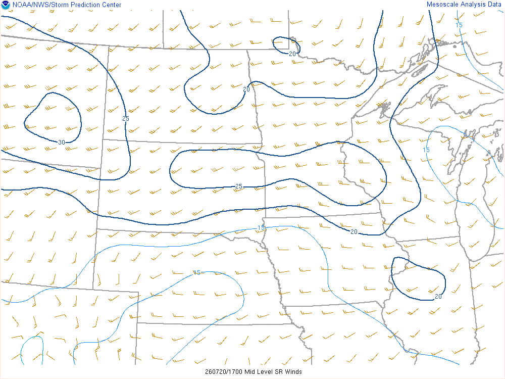
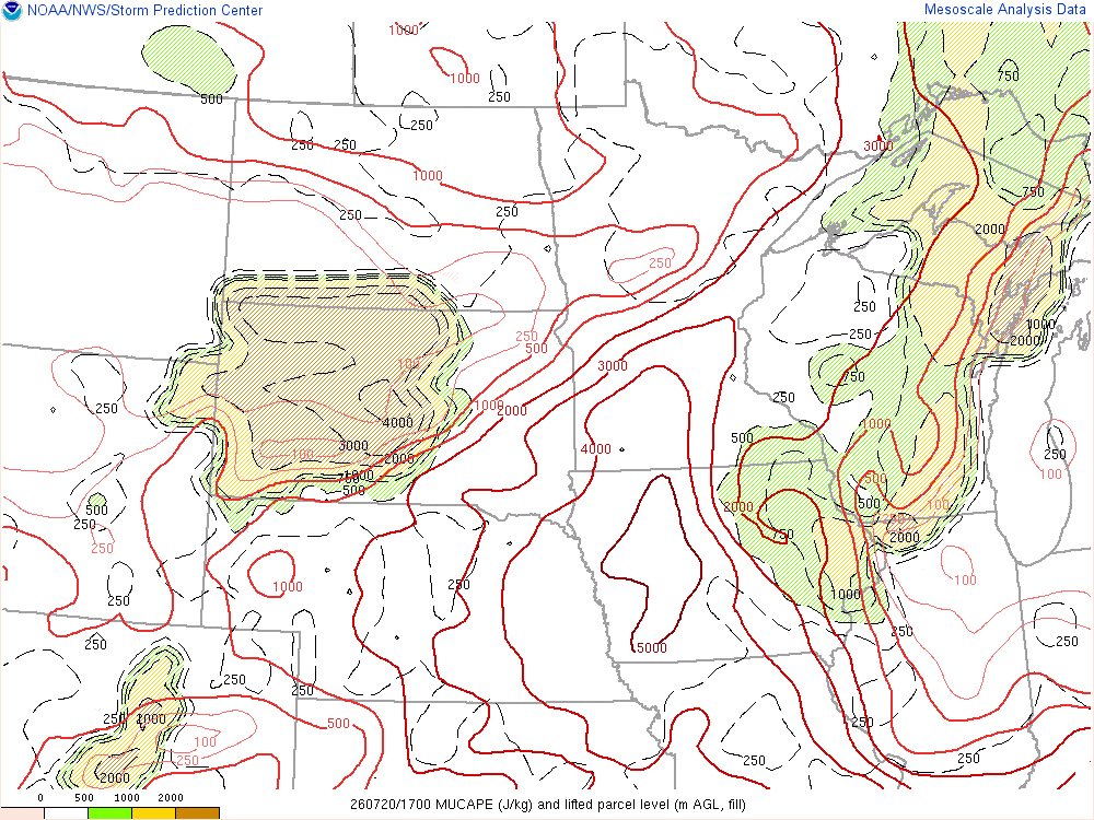
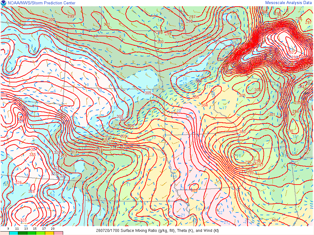
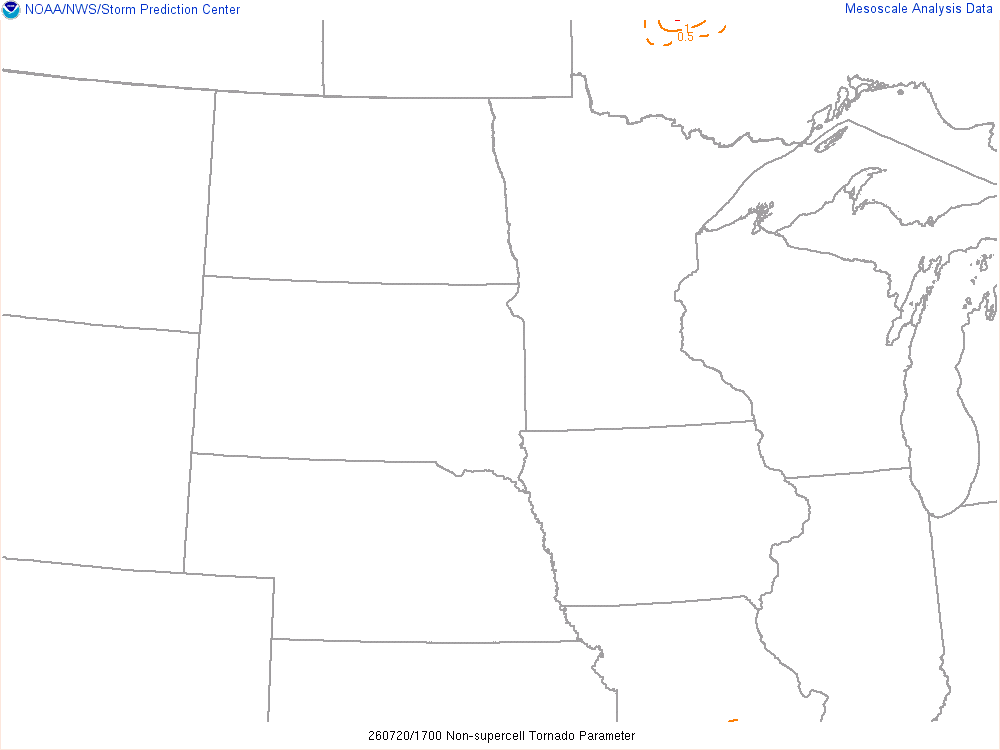
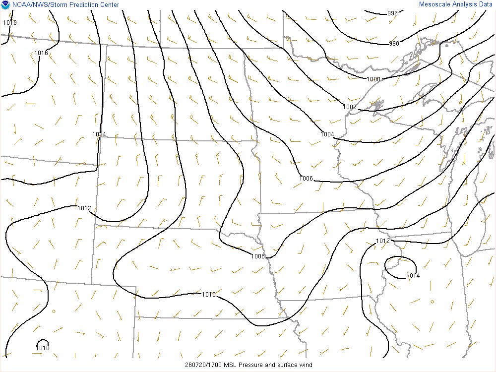
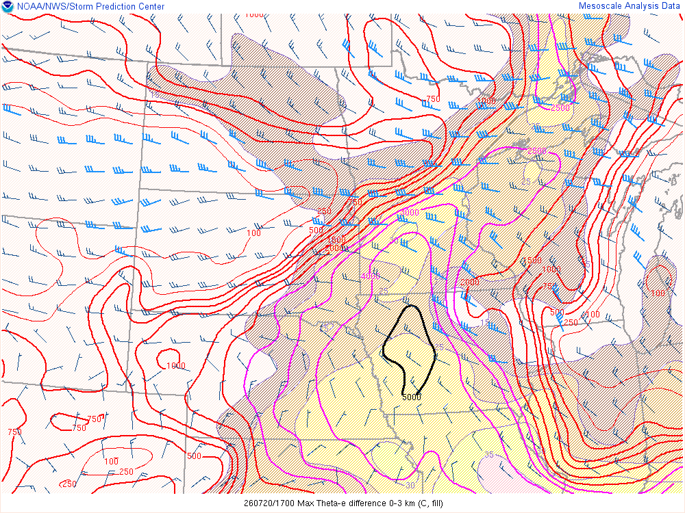
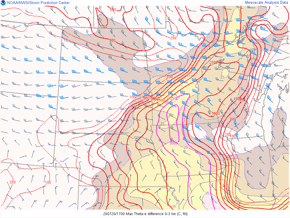
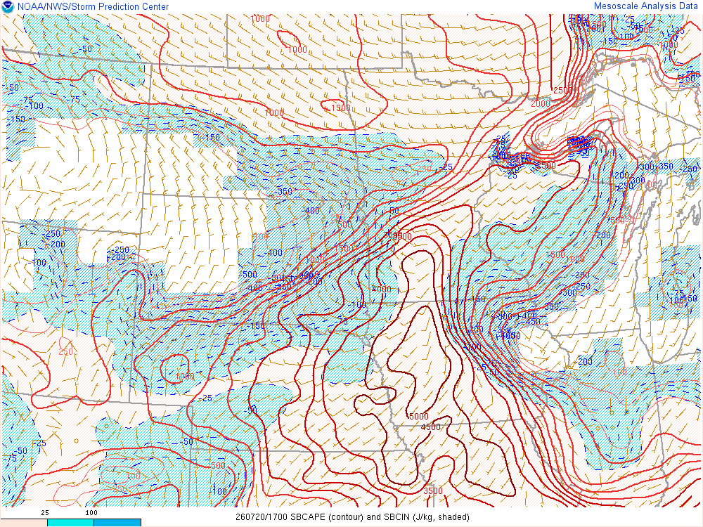
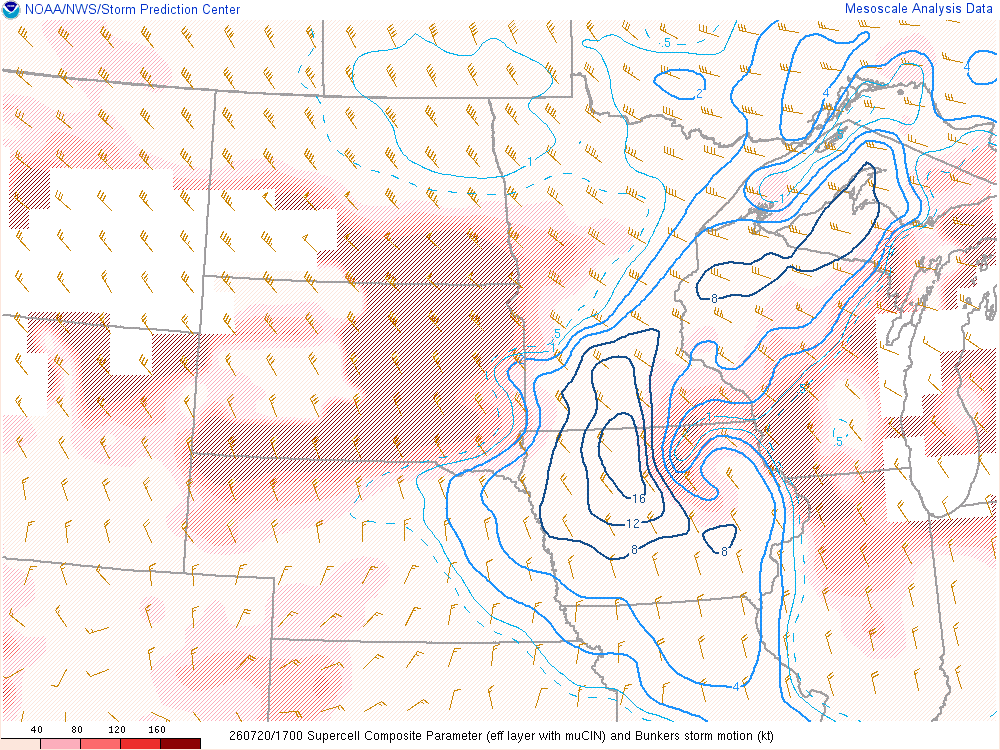
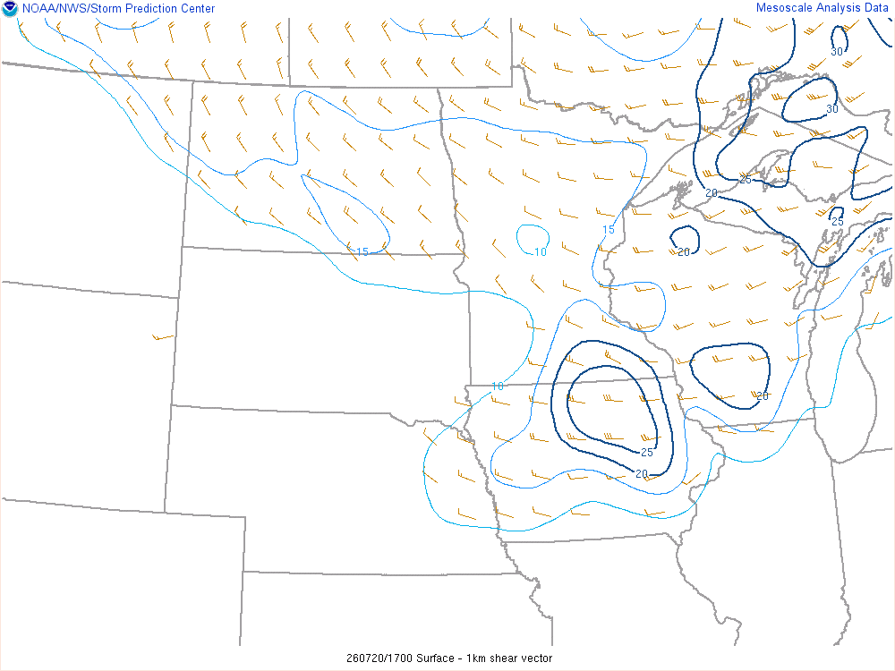
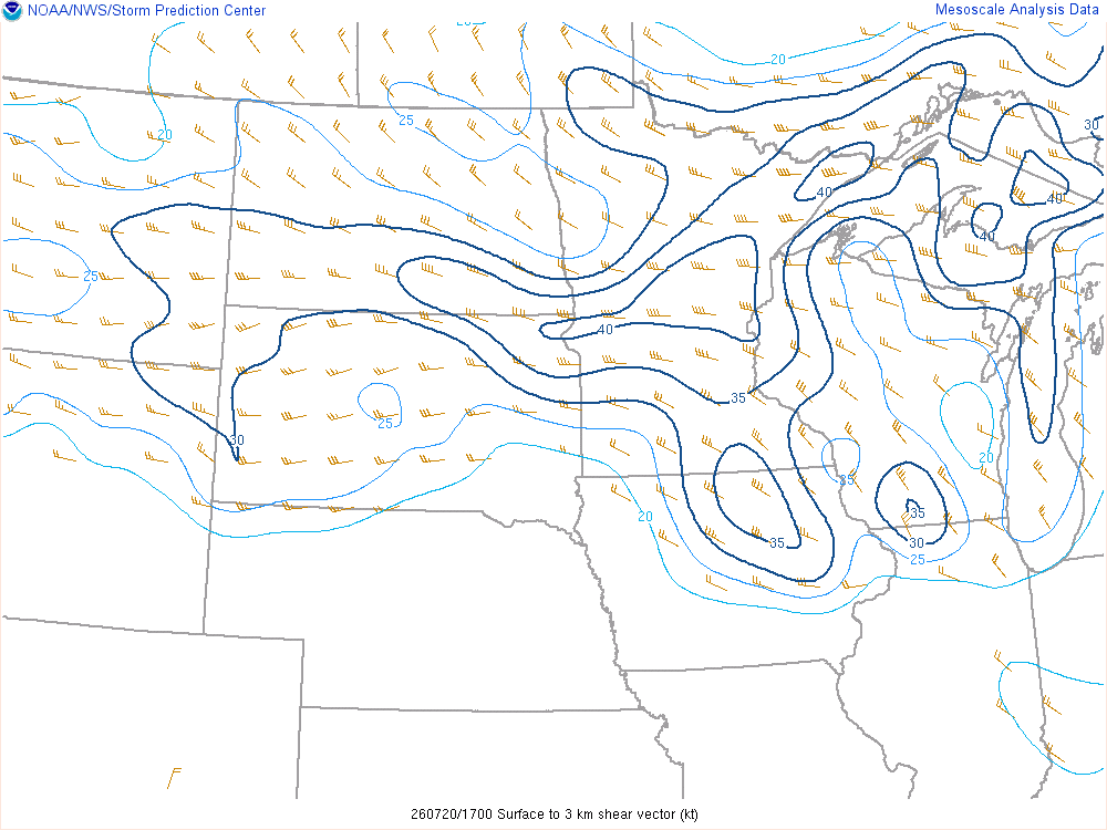
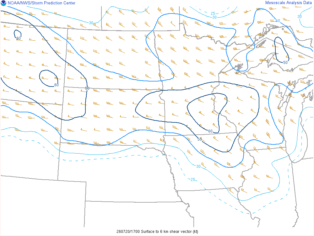
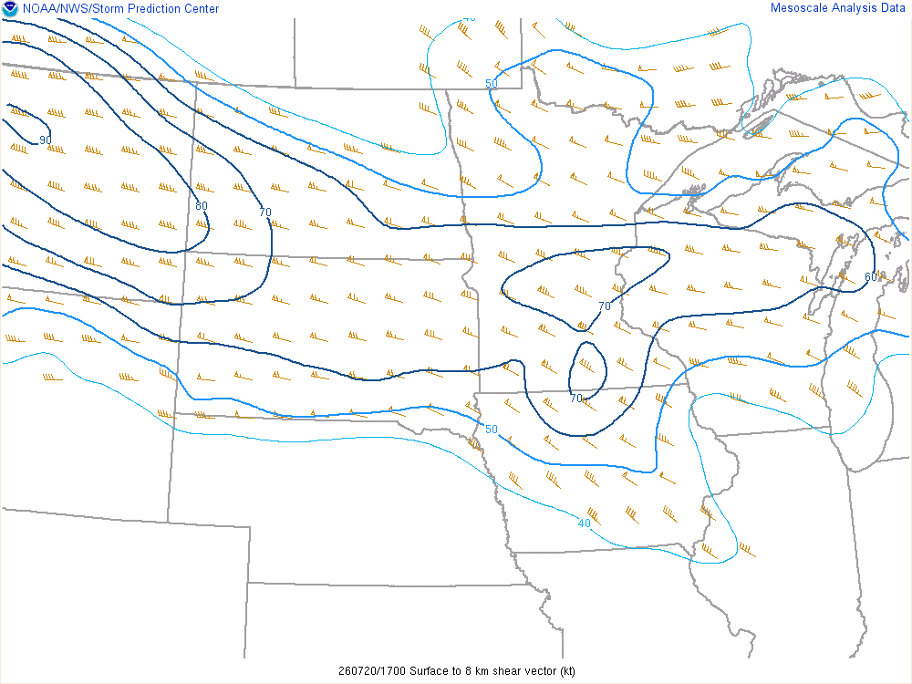
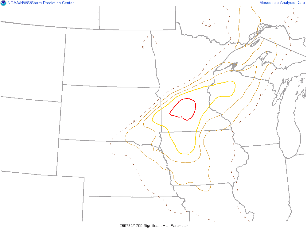
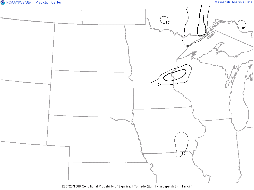
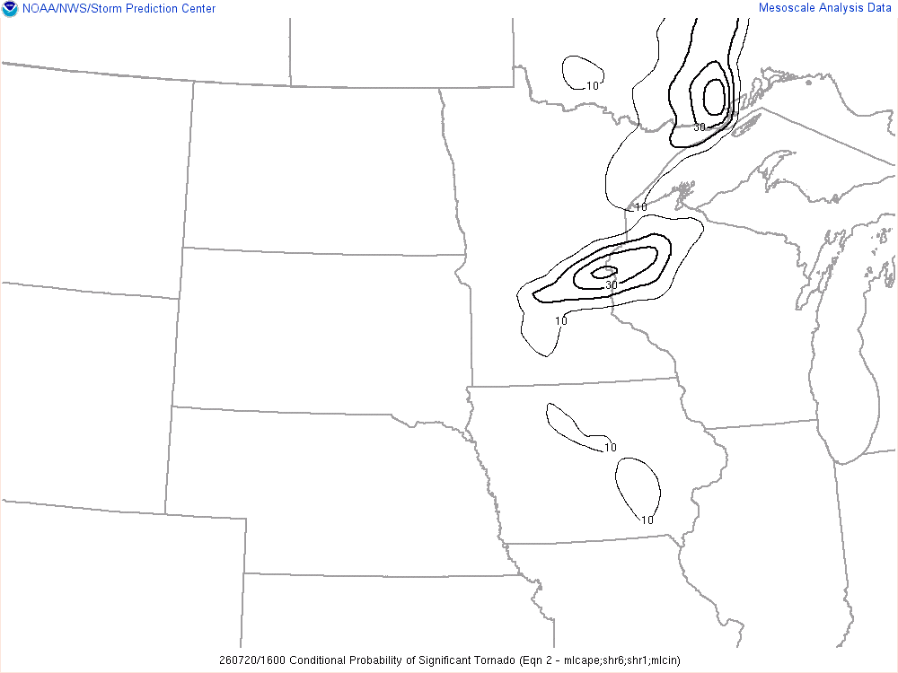
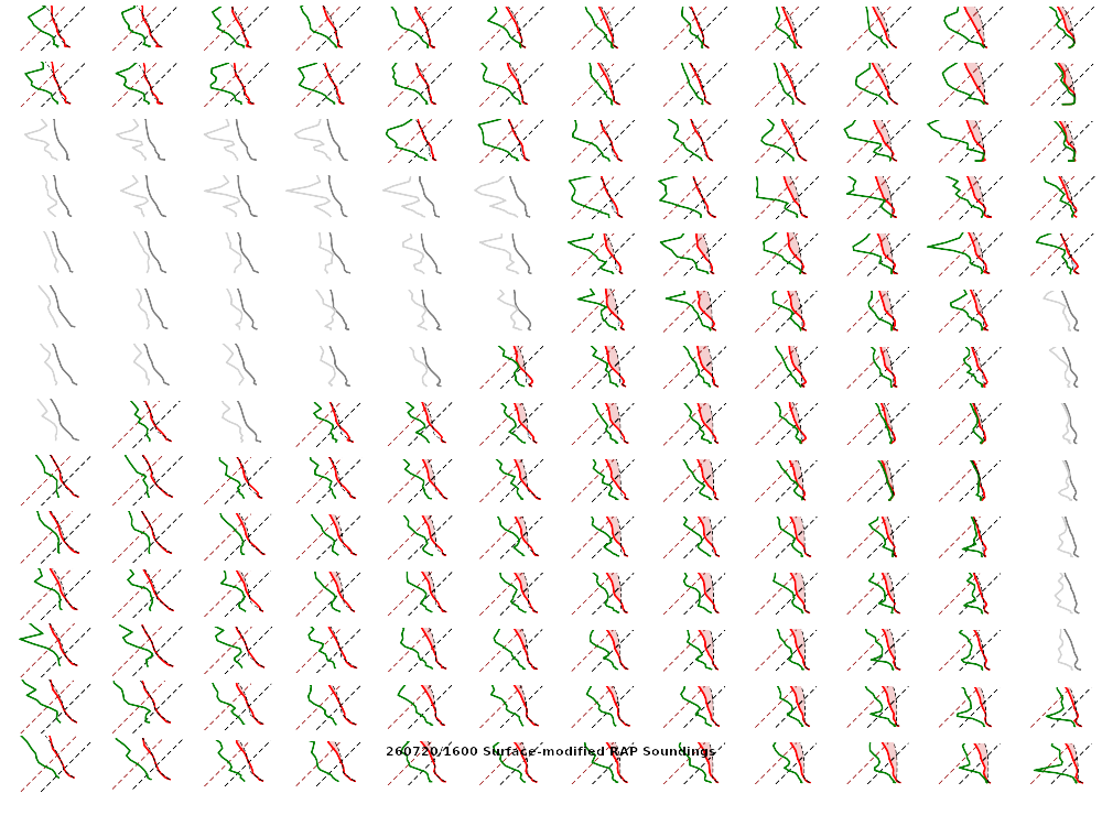
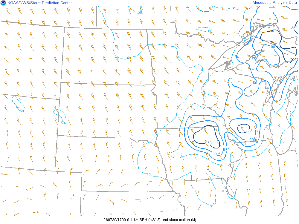
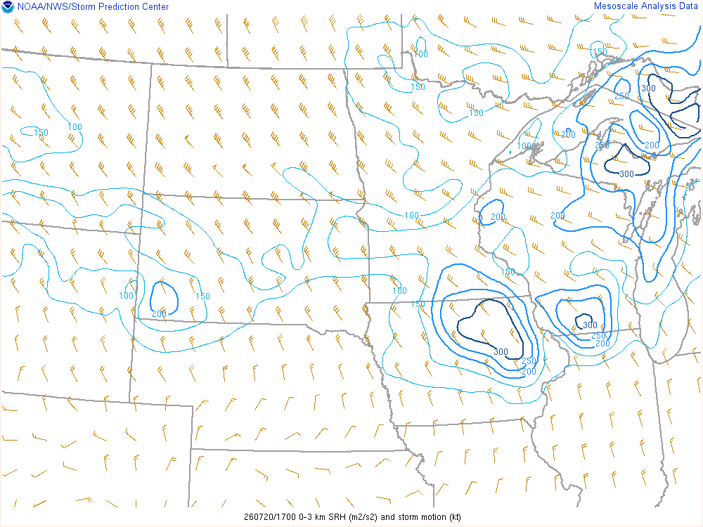
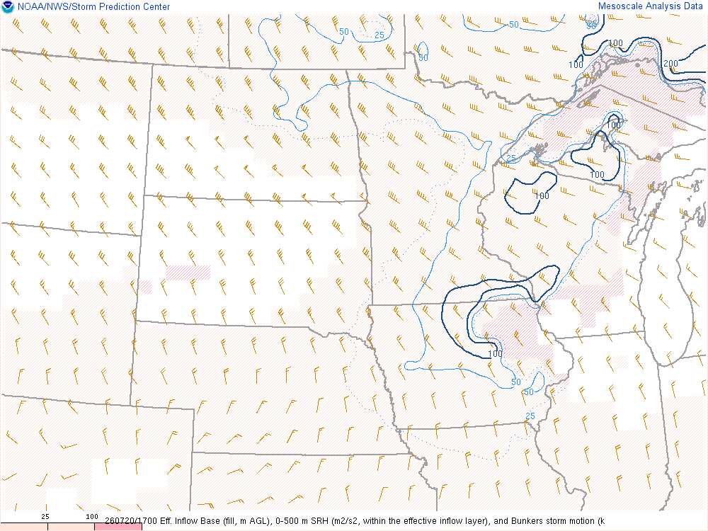
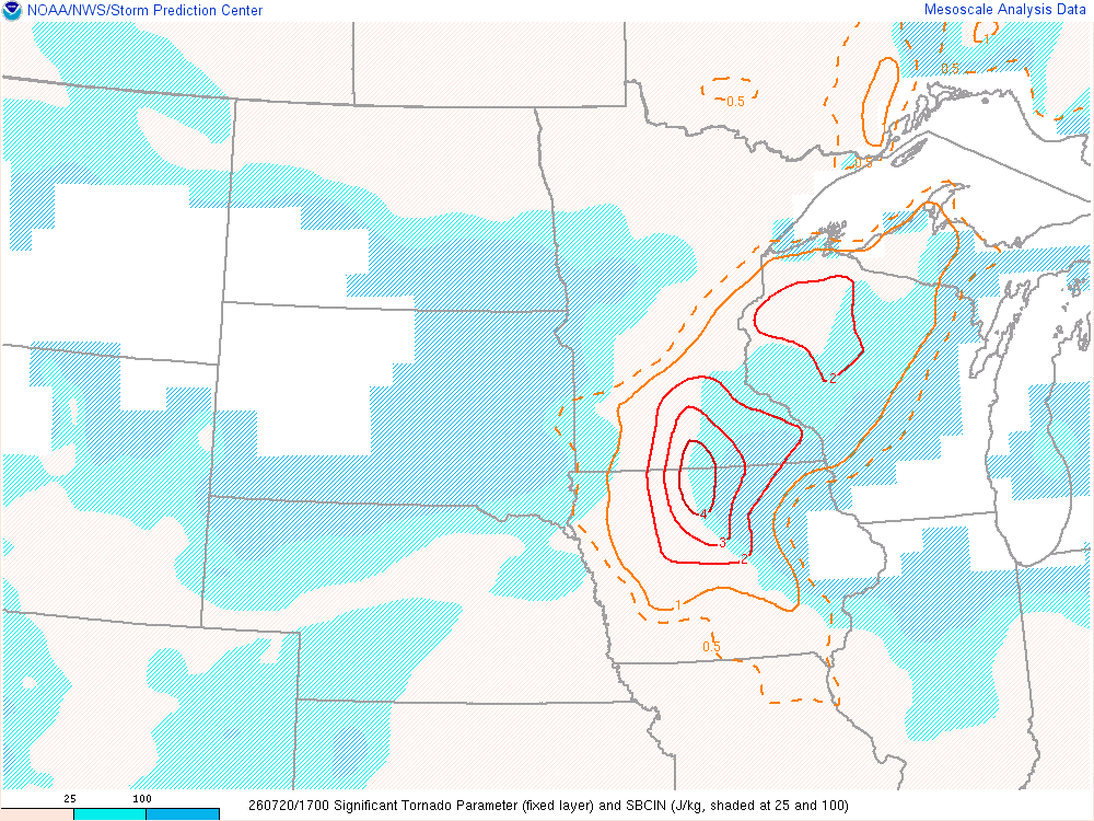
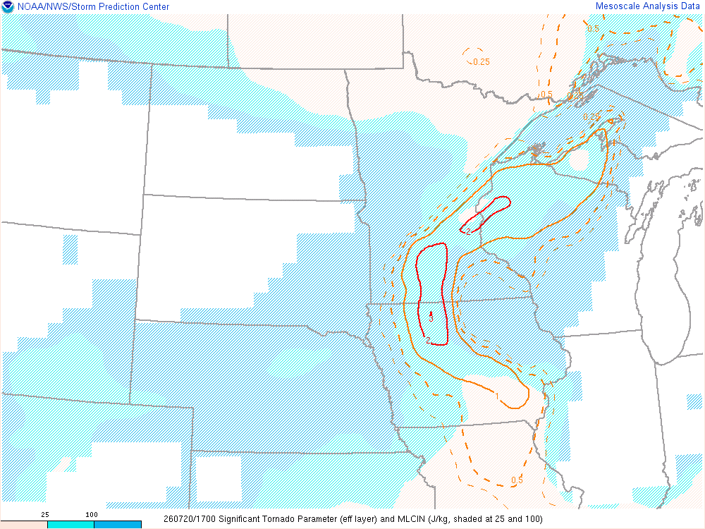
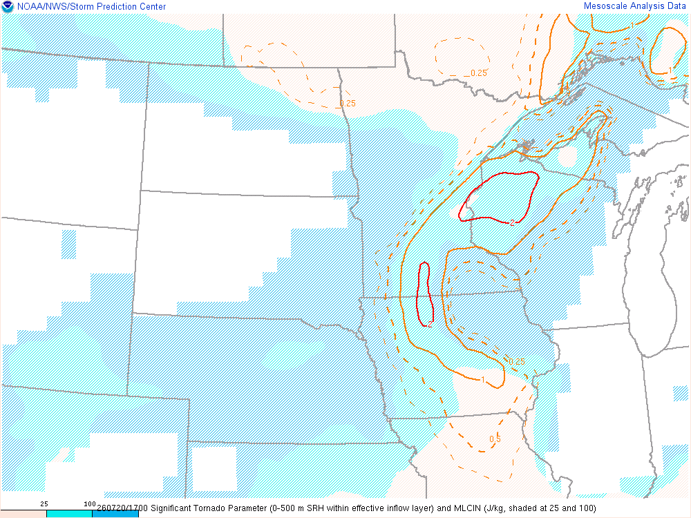
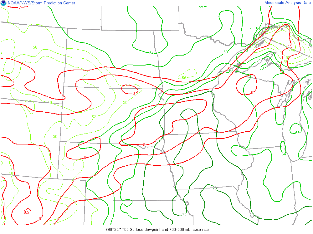
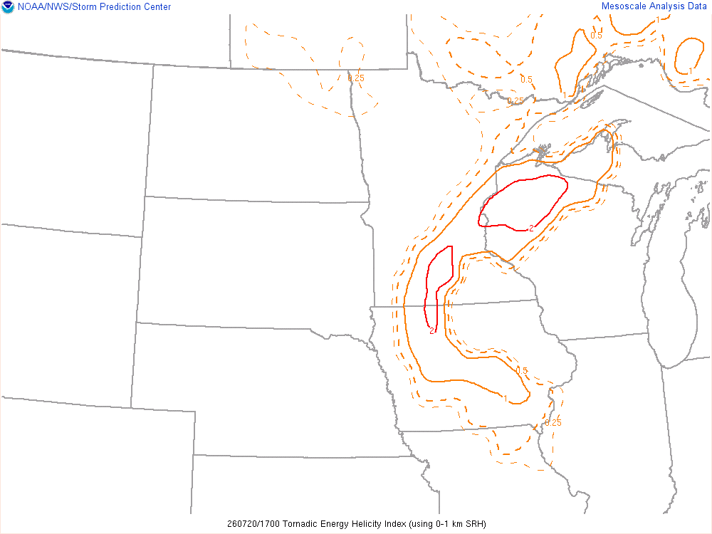
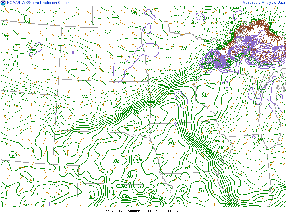
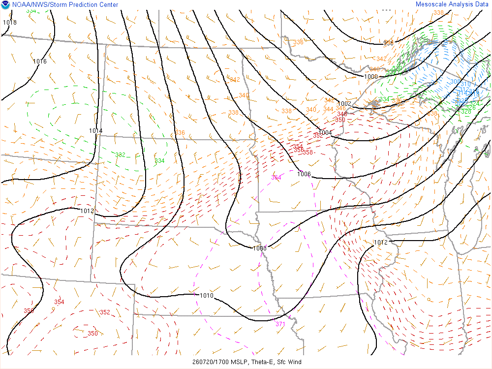
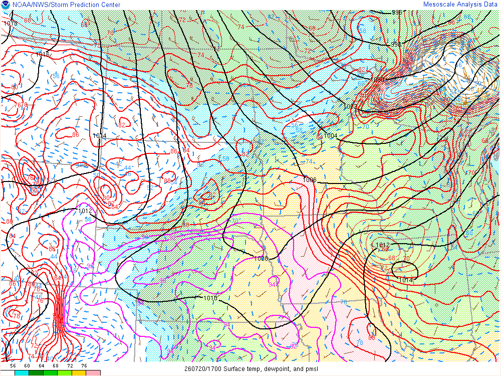
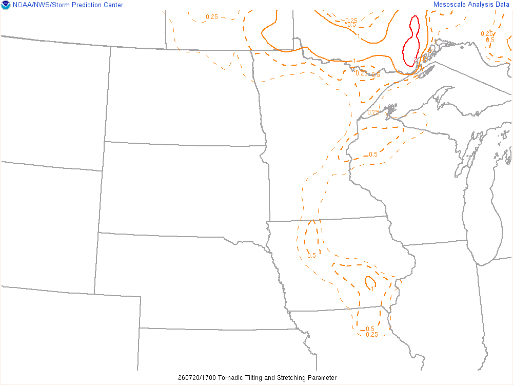
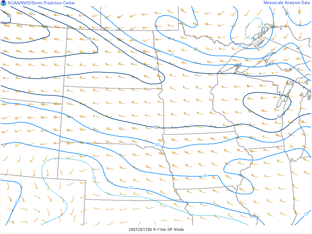
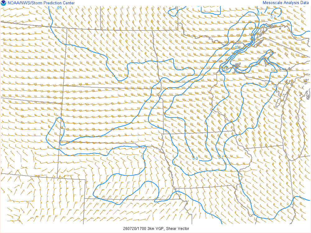
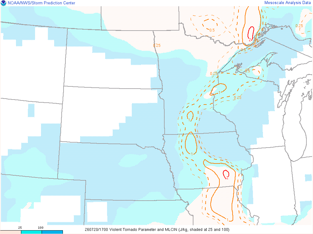
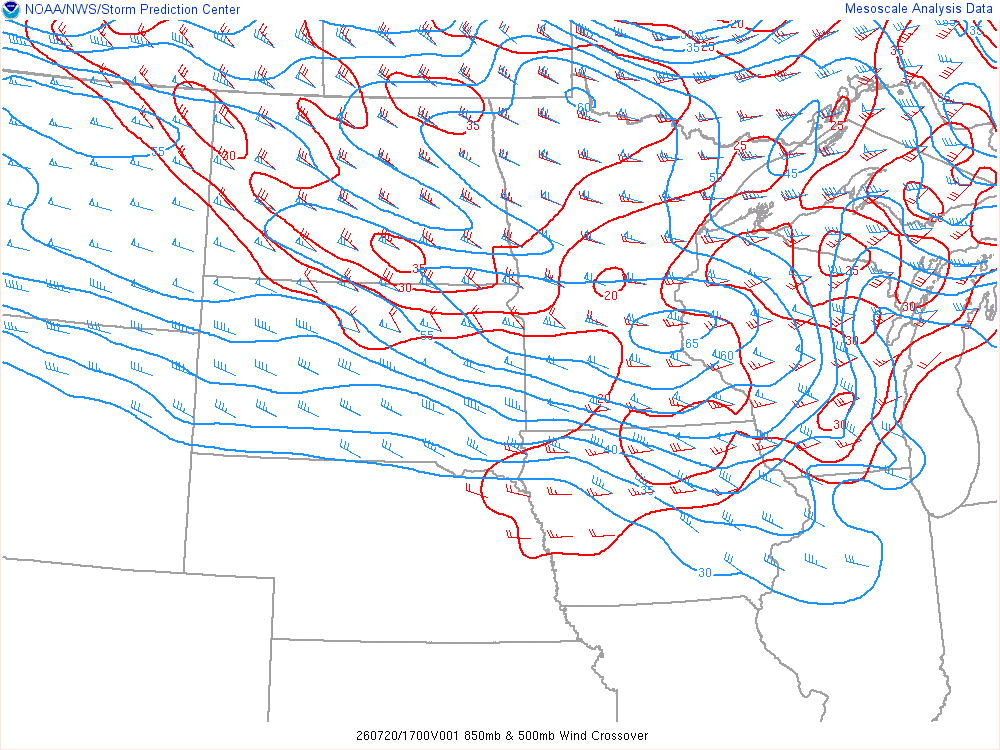
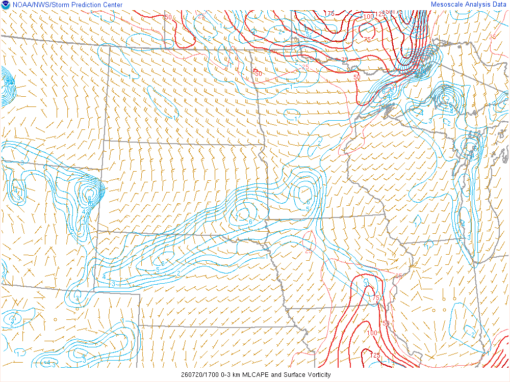
Storms were firing, but they appeared to be mostly elevated showers more than anything. They were moving fast, all lined up east to west and moving south/southeast. I stopped off in LaCrosse for fuel and beverage before continuing east. The storm near I-35 to the west of me had become intense by this point, and was tornado warned. I stopped in Tomah and started looking at the road options to drop south through the driftless region.
As I drove south, I quickly did some math and realized there was no way I could ever get back in front of any of the storms and I was wasting my time. So the reasonable option was to track east to Mauston. I spent about an hour waiting in Mauston at the Kwik Trip thinking I had completely busted the day. I was preparing to jump on 90/94 and head back towards the Twin Cities.
Driving to Montello
I decided to head east towards I-39 and pass by Oxford, where I had been the week before. Tom called me, and said they were all hanging out in Montello. So, I drove there and found them.

I spent a little over an hour in Montello before we had some storms start to appear up north. They weren’t very interesting looking on radar, and none of them had any sort of warnings. I popped onto Twitter and sure enough, there was funnel reports coming from them.
Departing Montello northbound on I-39
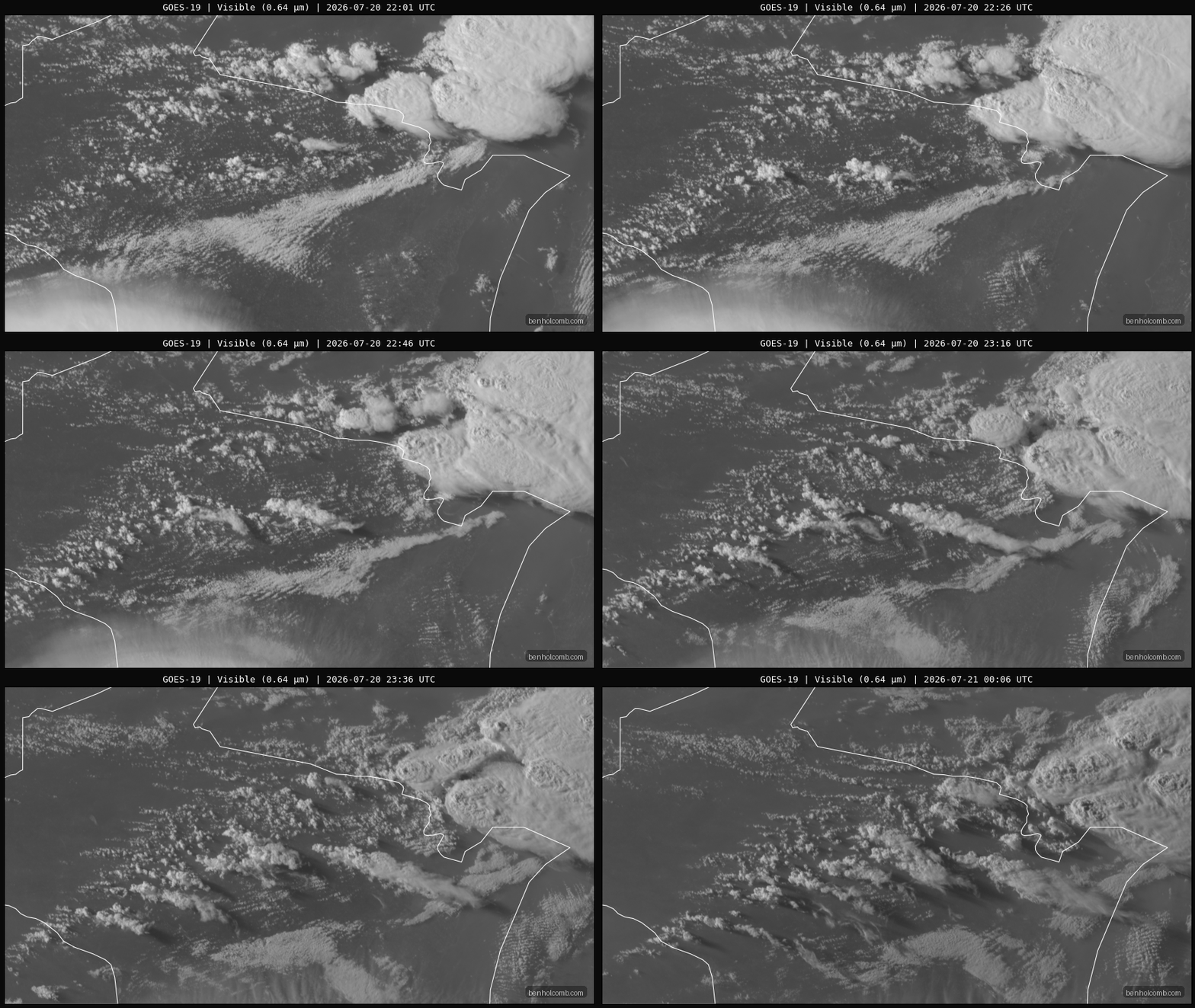
Since it was on my way back to the Twin Cities, I decided to head north on I-39 from Montello. With the 0-3 CAPE values very high, these low toppers had the potential to continue producing.
As I exited I-39 and headed east on Highway 153, I was treated to a sight of the LP Supercell in front of me. Here’s a quick time lapse.
Tigerton Wisconsin Tornado
As I continued east on Highway 153, I started finding myself north of the mesocyclone on the supercell I was on. I took Wisconsin state highway 49 south out of Elderon a few miles, and then turned left onto Cleveland Road. It was then I really started believing I’d see a tornado. As I turned south on Mavis Road, I finally came out of the trees as I got to County Road P. From here I’d witness a small drillbit tornado. The classic whooshing waterfall sound was accompanied by a couple of the sonic booms as it strolled across the Wisconsin landscape.
Continuing through Tigerton, Ending the Chase
I continued east to the next clearing. The homeowner came out and we chatted briefly before I had to continue east. The tornado was still a very narrow drillbit, hard to see most of the time. At some point it dissipated, but I continued east for another 15 minutes.
Did some math and saw I could be back in the Twin Cities shortly after midnight, so I headed back. Cheese curds from Kwik Trip were on the menu for dinner.
Links
- Chase Archive for Tigerton Wisconsin Tornado
- Stormtrack Event Thread for July 20th, 2026
- National Weather Service Marquette Write-up of the July 20 event


